Welcome to Geotech!

JWTX-1 Probe
PRODUCT PARAMETERS
Description
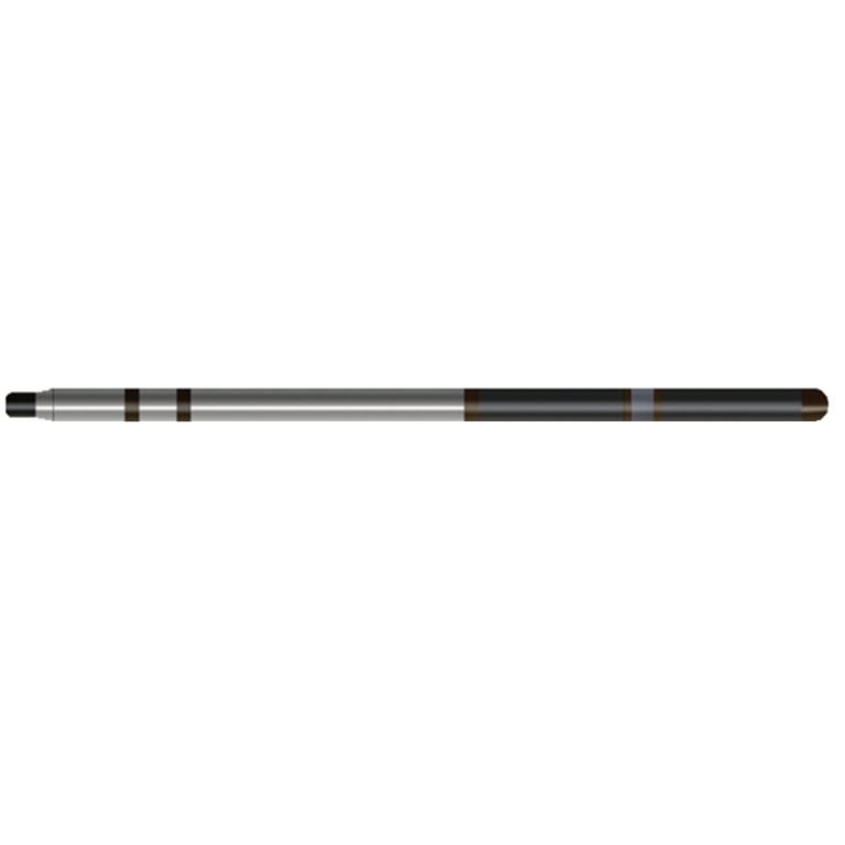
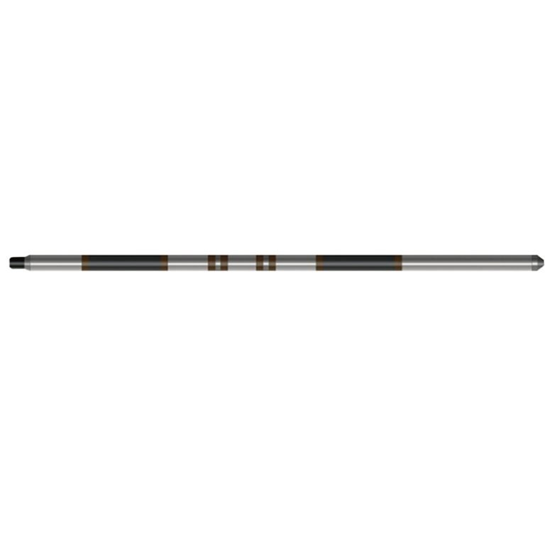
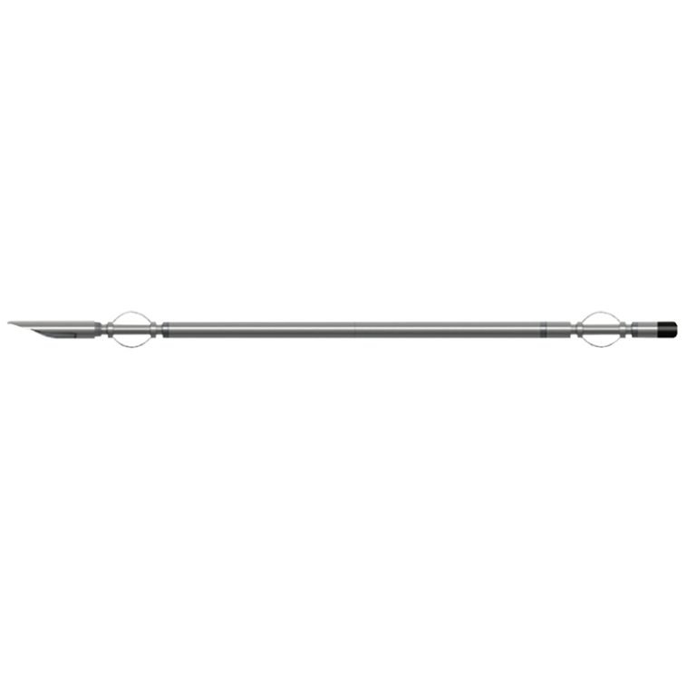
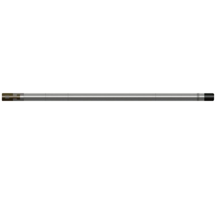
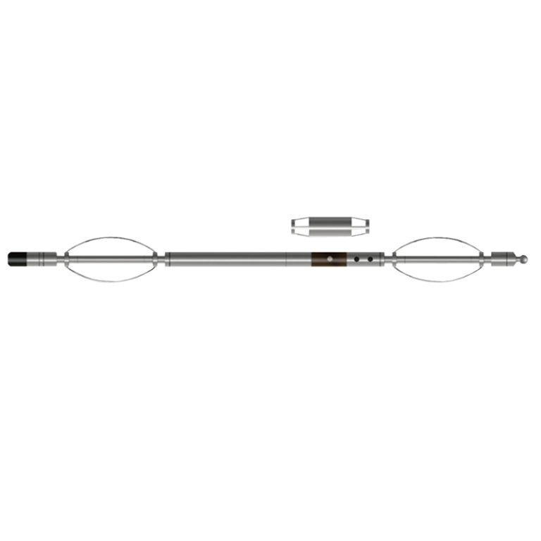
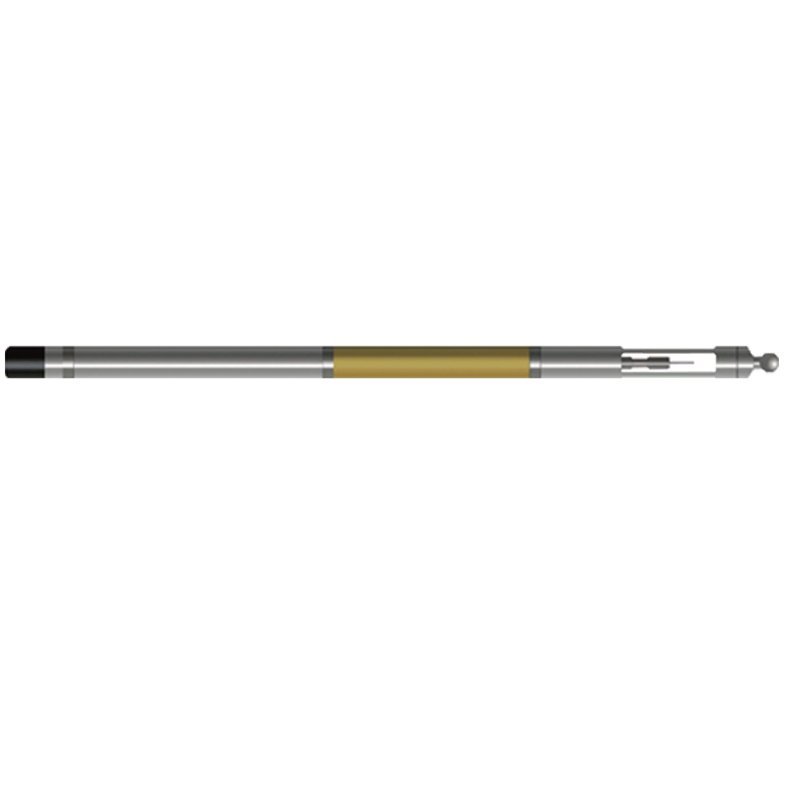
JWTX-1 Borehole Deviation & Temperature Probe
 Abstract
JWTX-1 Borehole Deviation & Temperature Probe can simultaneously measure multiple parameters such as well temperature, well temperature gradient, top angle, and orientation. By observing the change in temperature gradient, the surrounding conditions of the borehole can be judged to obtain information of practical value. The flow of underground fluids (groundwater, oil, natural gas, etc.) is an important factor in destroying thermal balance. When fluids and gases flow into the borehole, the volume expands, abnormal radioactive strata, oxidized strata, and the heat released by cement bonding outside the casing during well construction will cause temperature and gradient changes along the axial direction of the borehole.

Applicable Conditions
● Bare hole fill with water or mud
● Bare Dry hole
Applications
● Geothermal well detection, determine the heat-producing layer
● Find the liquid-producing layer and the loss layer
● Casing cement return height position and cementation status during well construction
● Hydrology and groundwater resource survey
Features
● The sensor uses a pt100 platinum resistor with a small time constant, which can quickly respond to changes in the temperature of the formation.
● The all-solid-state sensor has good seismic resistance.
Specifications
| Well temperature measurement range | 0℃~100℃, Resolution: 0.025℃ |
| Temperature gradient measurement range | 0.02℃/m~5℃/m (when measuring speed ~600m/H) |
| Well inclination (vertex angle) measurement range | 0°~50°, Accuracy: ±0.1° |
| Azimuth measurement range | 0°~360° (geomagnetic azimuth) |
| Azimuth measurement accuracy | Better than ±4° (when the vertex angle is 1°~30°) |
| Signal output | Bipolar encoding |
FAQ
In gravity exploration (SI), what is the unit of gravity? How to convert gravity units between SI and CGS?
What are gravitational field and gravitational potential?
What is the normal gravity field of the earth? What are the rules for the change of the normal gravity field with latitude and altitude?
What is the relationship between gravitational field strength and gravitational acceleration?
What is gravity exploration?