Welcome to Geotech!
-1.png)


Knowledge base
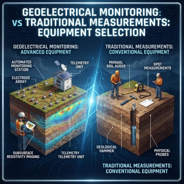
Geoelectrical Monitoring vs Traditional Measurements: Equipment Selection
Overview:Geoelectrical Monitoring provides spatially distributed information about subsurface electrical changes, while traditional measurements track specific parameters at selected locations. This guide compares both approaches, explains how Geoelectrical Monitoring complements conventional instrumentation, and explores practical strategies for tailings dams, embankments, groundwater…
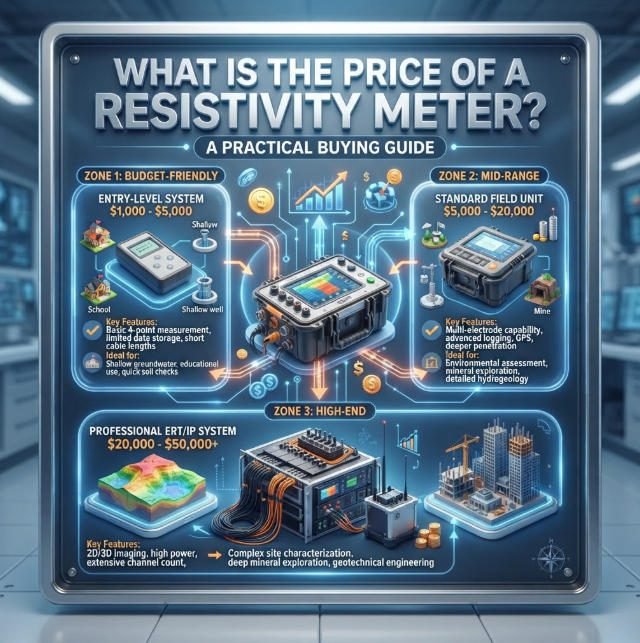
What Is the Price of a Resistivity Meter? A Practical Buying Guide
Overview:The Resistivity Meter Price depends on the measurement method, channel capacity, output capability, and included accessories. A basic instrument may serve simple measurements, while professional ERT and IP systems require more advanced acquisition and processing capabilities. This guide explains the…
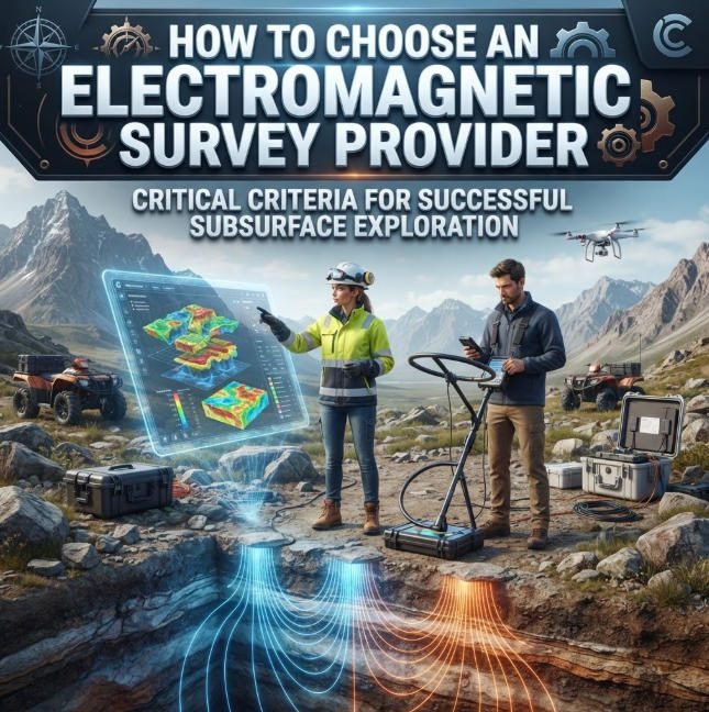
Which is the best Electromagnetic Geophysical Survey Provider?
Overview:This practical framework supports informed EM Survey Provider Selection for mineral, environmental and infrastructure projects. It outlines evaluation criteria for every Electromagnetic Geophysical Survey, from method justification to QA/QC, and defines how to align Electromagnetic Geophysical Survey scope with project…
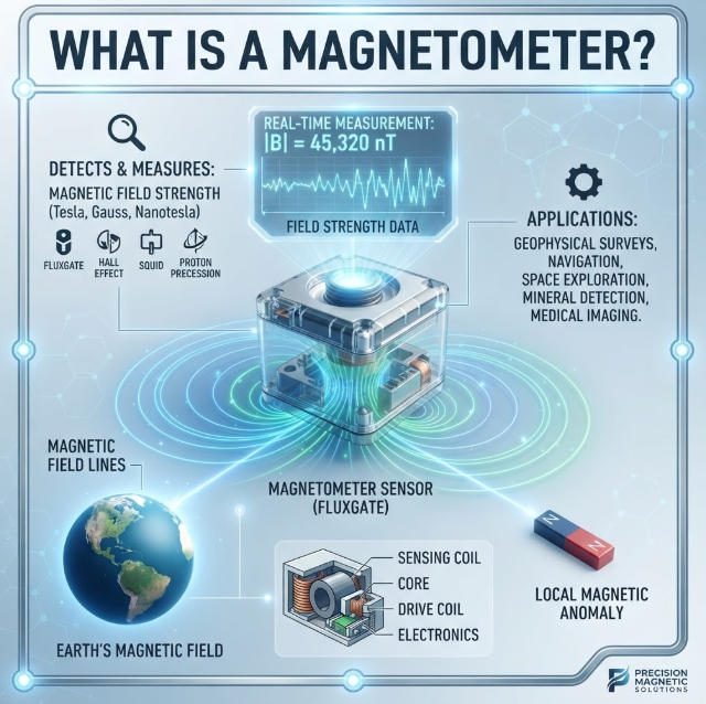
What Is a Magnetometer and How Does It Work?丨Proton Magnetometer Guide
TIPS:A magnetometer measures magnetic field strength with remarkable precision. This guide explains what a magnetometer is and how a proton magnetometer uses quantum physics to detect subsurface anomalies. You will learn how this instrument works in mineral exploration, archaeology, and…
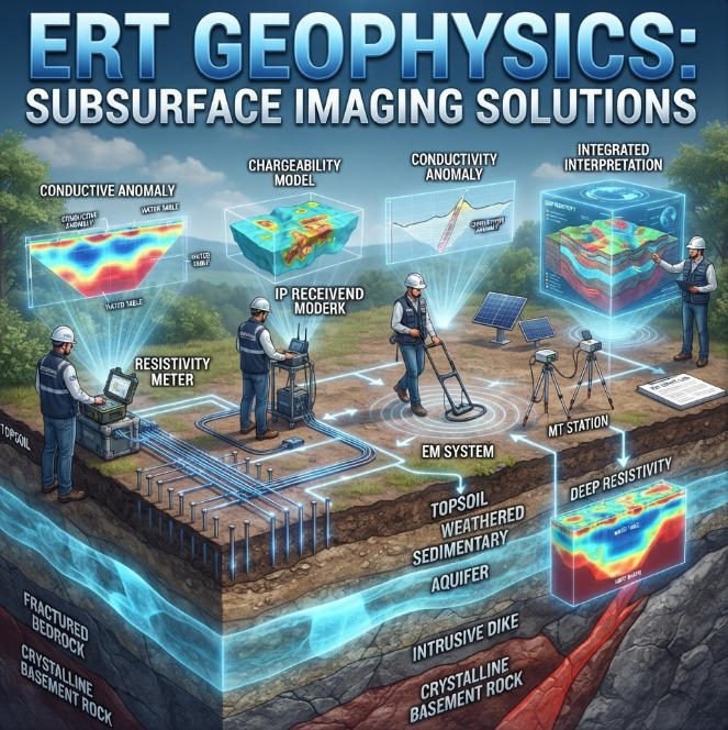
ERT Geophysics: Principles, Arrays & Field Applications 2026
TIPS:ERT geophysics maps subsurface structures by measuring how earth materials resist electrical current. This guide explains the core principles of ERT geophysics, from Ohm’s Law to electrode array design, and how modern systems like Geotech GIM deliver high-resolution images for…