Welcome to Geotech!
-1.png)


Knowledge base
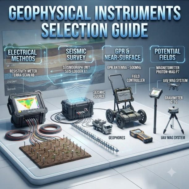
How to select Geophysical Instruments 2026 丨Geophysical Instruments Selection Guide
TIPS:Geophysical instruments are essential tools for modern subsurface exploration. This geophysical instruments guide helps B2B buyers select the right devices for mining, groundwater, and engineering projects. You will learn how to match geophysical instruments to site conditions. You will also…
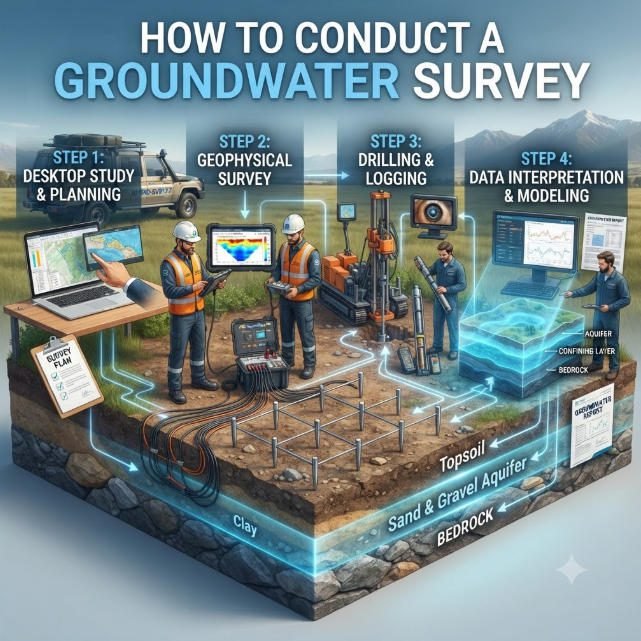
How to Conduct a Groundwater Survey: A Technical Guide to Accurate Results
TIPS:A professional groundwater survey eliminates blind borehole drilling while an accurate electrical resistivity survey locates high-yield aquifers efficiently. Every reliable groundwater survey relies on calibrated geophysical hardware, and a standardized electrical resistivity survey minimizes false subsurface anomalies for farm, industrial…
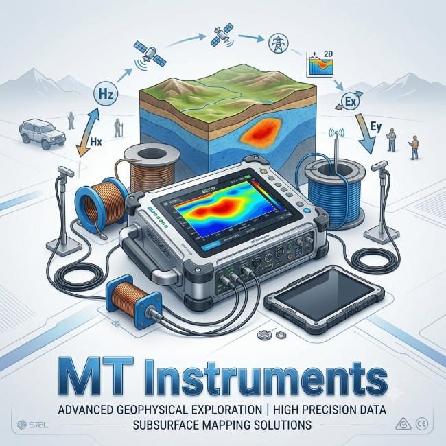
AMT Survey Guides Accurate Magnetite Ore Finds
TIPS:This case study demonstrates how an AMT MT System resolves deep magnetite exploration challenges and improves borehole accuracy. As a reliable metallic ore exploration instrument, the AMT MT System delivers high-resolution subsurface resistivity data to identify hidden ore bodies. We…
Deep Geophysical Exploration: Equipment Pain Points Solved
TIPS:This article explains three core pain points of deep geophysical exploration and how new-generation MT survey instruments address them. It covers low operational efficiency, poor deep data quality and high field operation cost. By integrating wideband technology, high sensitivity sensors…
Cloud-Connected MT for Multi-Project Parallel Management
TIPS:Geophysical companies often manage multiple field projects across different regions at the same time. A cloud-connected MT platform centralizes equipment status, field progress, and magnetotelluric exploration system data in one digital workspace. This article explains how cloud-connected MT instruments reduce…