Welcome to Geotech!
-1.png)


Knowledge base
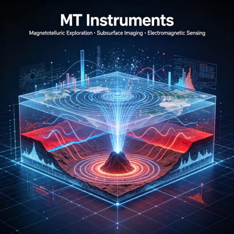
Imported vs. Domestic MT Survey Instrument: 2026 Comparison Guide
TIPS:Choosing between imported and domestic MT survey instrument platforms is one of the most critical procurement decisions in geophysical exploration. This comprehensive comparison examines price, performance, and support across leading brands. We also explore how the Web-MT system revolutionizes field…
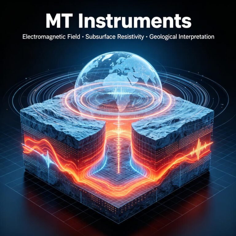
Wideband MT Instruments for Deep Exploration
TIPS:Wideband MT instruments have redefined how geophysical teams approach subsurface mapping. A single wideband MT instrument captures electromagnetic data from audio frequencies down to ultra-long periods, eliminating the need to swap hardware between shallow and deep targets. This capability makes…
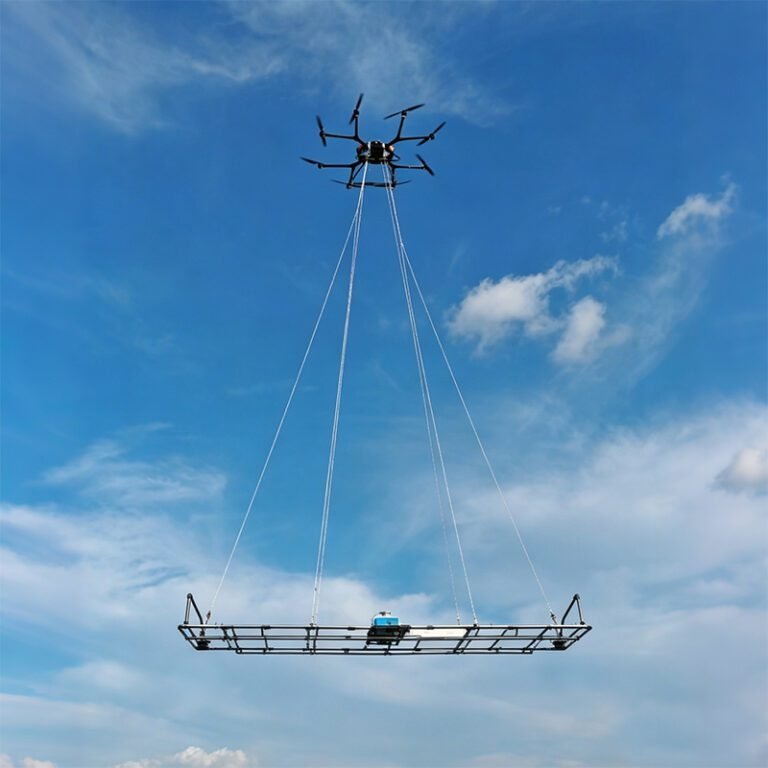
Airborne Electromagnetic Systems – State of the Art and Future Directions
TIPS:Airborne electromagnetics (AEM) stands as one of the most widely deployed geophysical methods in mineral exploration worldwide, second only to aeromagnetics-radiometrics. Initially developed post-WWII for mineral exploration, AEM has evolved from a simple “bump finding tool” into a deeply penetrating…
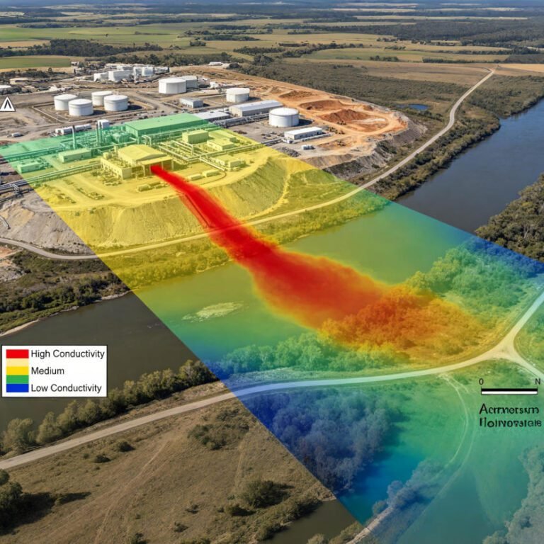
Electromagnetic Geophysical Survey: EM Methods Guide 2026
TIPS: Electromagnetic geophysical survey methods offer rapid, non-contact subsurface imaging for environmental and mineral exploration projects. This guide explains how electromagnetic geophysical survey technologies detect buried metal, map aquifers, and characterize contaminated sites. You will learn how to choose between…
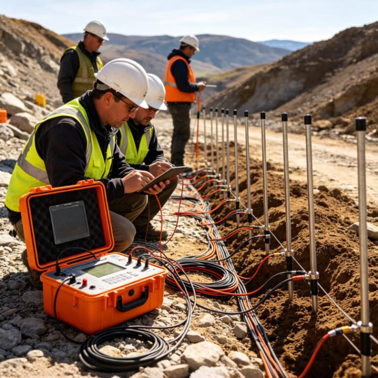
Electrical Resistivity & IP Survey: Complete B2B Guide 2026
TIPS: Electrical resistivity tomography and induced polarization survey methods have become essential tools for modern geophysical exploration. This guide explains how ERT and IP technologies detect groundwater, minerals, and contaminants. You will learn how to choose between 1D, 2D, and…