Welcome to Geotech!

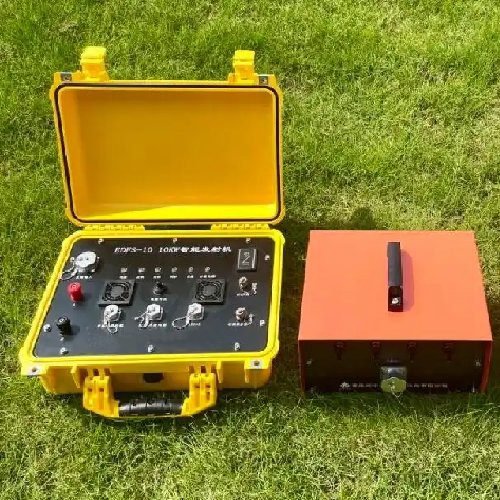
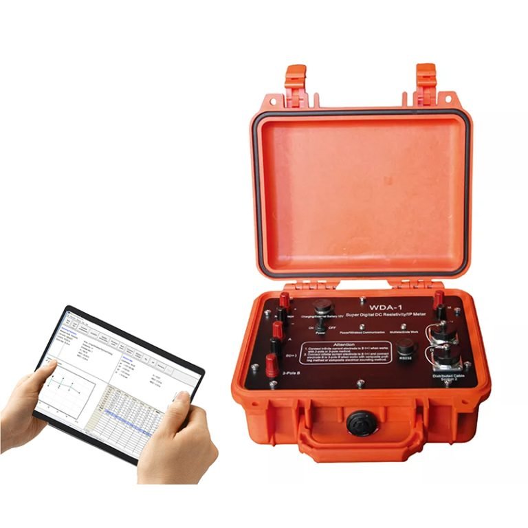
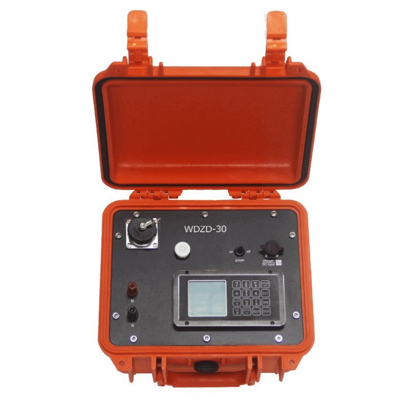
WDZS-3 electrical water detector
PRODUCT PARAMETERS
Description
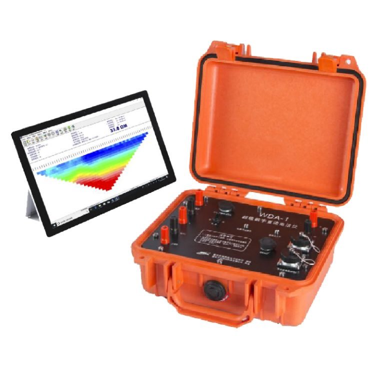
WDZS-3 Multifunctional electrical water detector
 Abstract
WDZS-3 Multifunctional electrical water detector is the basic 1D VES device of geo-electrical method, with functions of SP survey and 1D Resistivity sounding. The electrical method for groundwater exploration is the most economic, effective and widely used.WDZS-3 is a special geo-electrical instrument for electrical underground water prospecting with the most parameters, the most function, and the most advanced performance at the present time.
Working principle
Geological medium. The method is based on the estimation of the electrical conductivity or resistivity of the medium. The estimation is performed based on the measurement of voltage of electrical field induced by the distant grounded electrodes(current electrodes).
Applications
- Energy & Mining: Shale gas reservoir mapping, ore body localization.
- Urban Engineering: Underground utility detection, tunnel stability assessment.
- Hydrology & Environment: Dam leakage inspection, contaminant plume tracking.
- Geohazards: Landslide structure profiling, fault zone analysis.
Features
- Integrated Intelligence
- Combines transmitter and receiver in a 7kg portable unit, operable in -10℃~50℃.
- Auto power-off after 10 minutes of inactivity for energy efficiency.
- Multi-Parameter Analysis
- Measures SP, apparent resistivity, polarization, decay curves, and 9+ parameters with real-time plotting.
- Storage: 3,500 resistivity points, 2,500 IP points, 43,680 multi-electrode datasets.
- Robust Protection
- Over-voltage/current protection, electrode open-circuit safety, and IP67 waterproof/dustproof rating.
- Streamlined Workflow
- Preloaded 100 array constants for rapid deployment; real-time ground resistance monitoring.
- Diagnostic tools pinpoint faults (e.g., damaged cables, electrode contact issues).
Specifications
Receiving section
| Item | Parameters |
| Voltage channel | ± 6 V If Vp≥10 mV, then ± 5‰ ± 1 LSB If Vp < 10 mV, then ±1% ± 1 LSB |
| Input impedance | ≥50MΩ |
| Apparent polarizability precision | ±1% ± 1 LSB |
| SP compensation range | ±1 V |
| Current channel | 5 A Survey precision: If IP≥ 10mA then ± 5‰ ± 1 LSB, If IP < 10 mA, then±1% ± 1 LSB |
| Suppression | ≥80dB for 50Hz industrial frequency |
Transmitter section
| Item | Parameters |
| Maximum voltage | 900V |
| Maximum current | 5A( when voltage ≤ 900V ) |
| Transmitting power pulse width | 1~60s, duty ratio 1:1 |
Other parameters
| Item | Parameters |
| Operating temperature | -10℃~50℃ |
| Humidity | 95 %RH |
| Memory temperature | -20℃~50℃ |
| Complete appliance current | ≤ 55mA |
| Weight | ≤ 7 Kg |
| Dimensions (L×W×H) | 310mm × 210mm × 210mm |
FAQ
In gravity exploration (SI), what is the unit of gravity? How to convert gravity units between SI and CGS?
What are gravitational field and gravitational potential?
What is the normal gravity field of the earth? What are the rules for the change of the normal gravity field with latitude and altitude?
What is the relationship between gravitational field strength and gravitational acceleration?
What is gravity exploration?