Welcome to Geotech!

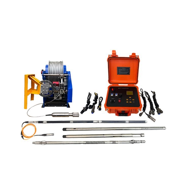
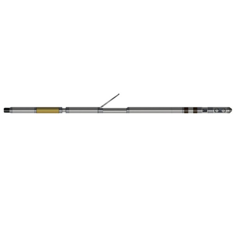
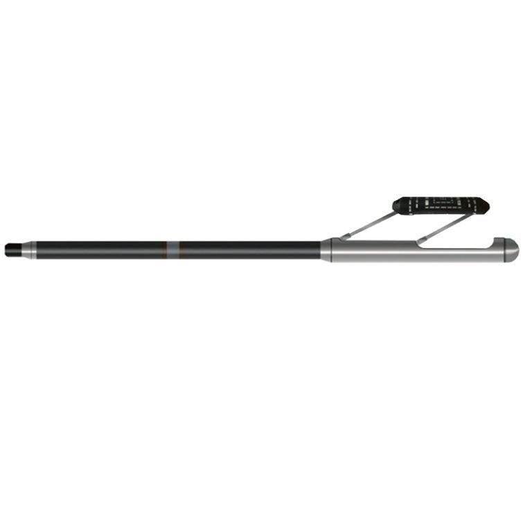
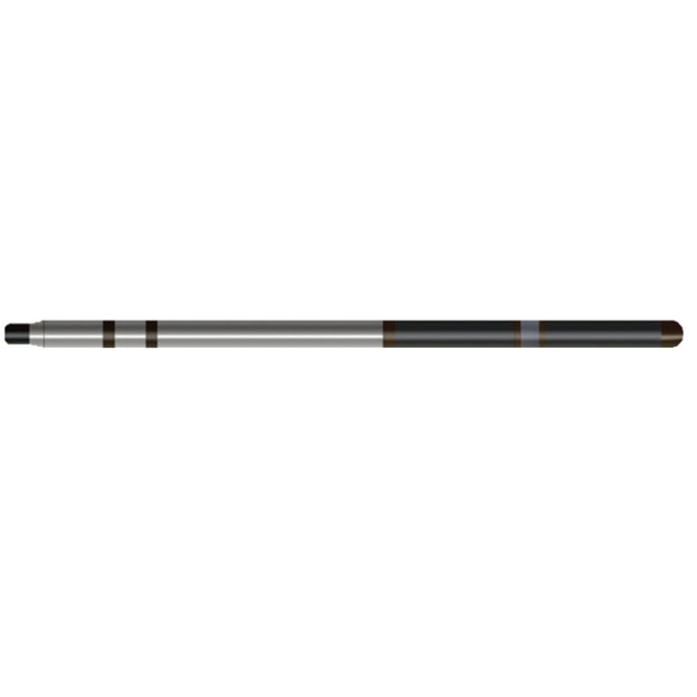
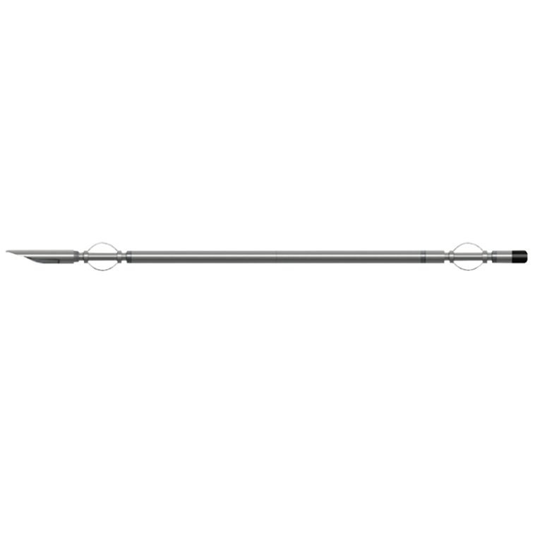
JJX-3019 Probe
PRODUCT PARAMETERS
Description
JJX-3019 Borehole Deviation & Natural Gamma Probe
 Abstract
JJX-3019 Borehole Deviation & Natural Gamma Probe is a digital logging tool that integrates natural gamma measurement and deviation measurement. The data measured downhole can be displayed in real time on the computer in the current measurement curve and chart. It also improves the natural gamma point measurement method that has been used to be continuous logging, which not only has high data collection efficiency, but also reduces the impact of human factors on the measurement data. It also has a large amount of information and high confidence, and will not miss abnormal sections.

Applicable Conditions
● Cased
● Bare hole fill with water or mud
● Bare Dry hole
Applications
● Coal, gas, nuclear, hydrology and other drilling guidance or drilling quality detection.
● Pile foundation engineering detection for water conservancy and hydropower, highway bridges, large buildings, etc.
● Estimation of uranium concentration.
● Dividing the stratum interface and judging the changes in the stratum phase.
Features
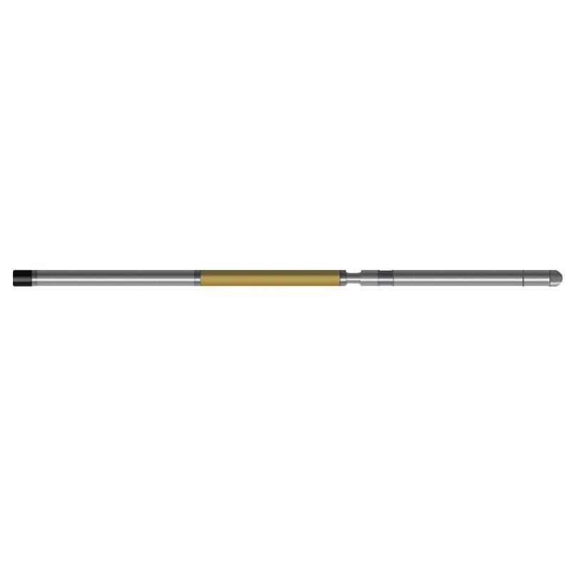
● The structural design of the downhole instrument has been optimized, making the operation extremely simple, and the seismic performance of the instrument has been greatly improved, making it more durable.
● It integrates the functions of inclination measurement and natural gamma measurement, saving logging work time.
Specifications
| Vertex angle measurement range | 0°~50°, Measurement accuracy: ±0.1°; Resolution: 0.01° |
| Azimuth measurement range | 0°~360° ,Measurement accuracy: ±2° (vertex angle 1°~15°) |
| Natural gamma measurement index | See the instruction manual of FD-3019 scintillation gamma logging tool |
| Measurement method | A) Point measurement according to depth; B) Continuous measurement according to depth |
| Signal output | Bipolar encoding |
FAQ
In gravity exploration (SI), what is the unit of gravity? How to convert gravity units between SI and CGS?
What are gravitational field and gravitational potential?
What is the normal gravity field of the earth? What are the rules for the change of the normal gravity field with latitude and altitude?
What is the relationship between gravitational field strength and gravitational acceleration?
What is gravity exploration?