Welcome to Geotech!

The Critical Role of Magnetometers in Mineral Exploration
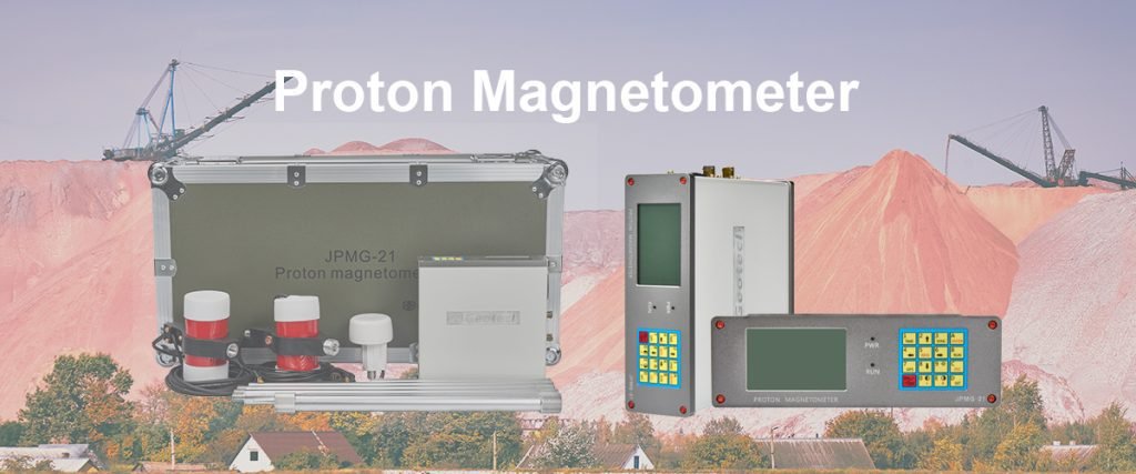
TIPS:he magnetometer in mineral exploration plays a critical role by enabling precise magnetic anomaly mapping of the subsurface. This process is fundamental to successful ore body detection, as it identifies the distinct magnetic signatures associated with mineral deposits. This article explores the key mineral exploration techniques that leverage magnetic data, demonstrating how this technology serves as a primary tool for de-risking exploration and guiding discovery in the mining industry.
I. Introduction: The Hidden Signature of Ore
Mineral exploration is a complex and costly endeavor. The challenge lies in finding valuable ore bodies buried deep beneath the Earth’s surface, often with little surface expression. Success hinges on using the right geophysical tools to detect the unique fingerprints of mineralization. Among these tools, the magnetometer in mineral exploration stands as a cornerstone technology. This article delves into the pivotal function of magnetic surveys. We will explore the process of magnetic anomaly mapping and its direct application in ore body detection. By understanding these mineral exploration techniques, we can appreciate how this technology de-risks exploration and guides drilling campaigns to success.
II. The Fundamental Principle: Magnetism as a Guide
Most ore bodies possess magnetic properties. They either contain magnetic minerals (like magnetite) or are associated with geological structures that alter the local magnetic field. A magnetometer is an exquisitely sensitive instrument designed to measure these subtle variations in the Earth’s magnetic field.
These variations, known as magnetic anomalies, are the key to discovery. They represent deviations from the expected regional magnetic field. A magnetic sensor for mining exploration detects these tiny changes, providing a map of the subsurface’s magnetic character. This forms the basis for all subsequent interpretation and targeting.
III. From Data to Discovery: Magnetic Anomaly Mapping
The primary deliverable of a magnetic survey is a map. Magnetic anomaly mapping is the process of collecting, processing, and interpreting magnetic data to create a visual representation of the subsurface.
- Data Acquisition: Surveys are conducted on the ground, from aircraft, or even drones. The magnetometer takes thousands of readings per second, recording the total magnetic intensity at each point.
- Data Processing: Raw data is processed to remove noise and correct for diurnal variations. The result is a clean dataset highlighting the anomalies caused by geology, not external factors.
- Visualization: The data is contoured to create a magnetic map. This magnetic anomaly visualization allows geophysicists to identify patterns, trends, and discrete highs and lows that may indicate mineralized zones.
This map is not a direct picture of the ore body. Instead, it is a crucial puzzle piece that guides geologists toward the most promising targets.
IV. The Ultimate Goal: Ore Body Detection
The purpose of magnetic anomaly mapping is to achieve ore body detection. While a magnetometer rarely “sees” the ore directly, it identifies the geological hosting environment.
- Direct Detection: In some cases, such as iron ore or nickel deposits, the ore itself is highly magnetic. A clear, strong magnetic high can directly indicate the presence of economic mineralization, leading to efficient locating of mineral deposits.
- Indirect Detection: More often, the ore is not magnetic, but it is associated with magnetic rocks. For example, gold deposits might be found in altered volcanic rocks that have a different magnetic signature than their surroundings. The magnetometer pinpoints these altered zones, serving as a pathfinder to the ore.
- Structural Mapping: Mineralization is often controlled by geological structures like faults and folds. Magnetic data excels at mapping these structures, revealing the architectural framework that controls where ore bodies are likely to form.
Through these methods, magnetometer applications in mining are fundamental to narrowing down vast exploration areas to specific, high-value drill targets.
V. Case in Point: The Power of Integration
Consider the discovery of a volcanogenic massive sulfide (VMS) deposit. These deposits are often associated with specific volcanic sequences. A magnetic survey can map out these volcanic units, distinguishing them from non-volcanic rocks. A distinct magnetic low might indicate a zone of intense alteration (a common halo around VMS deposits), while magnetic highs might map out associated intrusive rocks.
By integrating this magnetic data with other geophysical data (like electromagnetics) and geological knowledge, explorers can vector in on the highest probability target. This integrated approach is a hallmark of modern mining exploration methods.
VI. Conclusion: An Indispensable Tool for the Modern Explorer
The magnetometer remains an indispensable tool in the mineral explorer’s toolkit. Its ability to conduct rapid, cost-effective magnetic anomaly mapping over large areas makes it the first geophysical method deployed in most greenfield exploration programs. Its role in ore body detection, both direct and indirect, has led to the discovery of countless mines worldwide.
As mineral exploration techniques continue to evolve, the magnetometer continues to adapt. Higher sensitivity sensors, drone-mounted systems, and advanced processing algorithms ensure that this foundational technology will continue to play a critical role in securing the mineral resources essential for our future. For any company serious about locating mineral deposits, investing in high-quality magnetic surveying is not an option; it is a necessity.
References
- E. M. Purcell, H. C. Torrey, and R. V. Pound: Phys. Rev. 69 (1946) 37. https://journals.aps.org/pr/abstract/10.1103/PhysRev.69.37
- F. Bloch: Physica 17 (1950) 460. https://journals.aps.org/pr/abstract/10.1103/PhysRev.70.460
- H. Dong, H. Liu, J. Ge, Z. Yuan, and Z. Zhao: IEEE Trans. Instrum. Meas. 65 (2016) 898. https://ieeexplore.ieee.org/document/7393816
- G. S. Waters: Nature 176 (1955) 691. https://www.nature.com/articles/176691a0
- G. S. Waters and G. Phillips: Geophys. Prospect. 4 (1956) 1. https://onlinelibrary.wiley.com/doi/10.1111/j.1365-2478.1956.tb01392.x
- A W. Overhauser: J. Phys. Rev. 92 (1953) 411. https://journals.aps.org/pr/abstract/10.1103/PhysRev.92.411
- A. Abragam: J. Phys. Rev. 98 (1955) 1729. https://journals.aps.org/pr/abstract/10.1103/PhysRev.98.1729
- G. Breit and I. I. Rabi: J. Special Studies Papers 38 (1931) 2082. https://journals.aps.org/pr/abstract/10.1103/PhysRev.38.2082.2
- I. Solomon: J. Phys. Rev. 99 (1955) 559. https://journals.aps.org/pr/abstract/10.1103/PhysRev.99.559
- J. Lenz and S. Edelstein: IEEE Sens. J. 6 (2006) 631. https://ieeexplore.ieee.org/document/1634415
- N. Kernevez and H. Glenat: IEEE Trans. Magn. 27 (2002) 5402. https://ieeexplore.ieee.org/document/278852
- D. Duret, J. Bonzom, M. Brochier, M. Frances, J. M. Leger, R. Odru, C. Salvi, T. Thomas, and A. Perret: IEEE
Trans. Magn. 31 (1995) 3197. https://ieeexplore.ieee.org/document/490326