Welcome to Geotech!

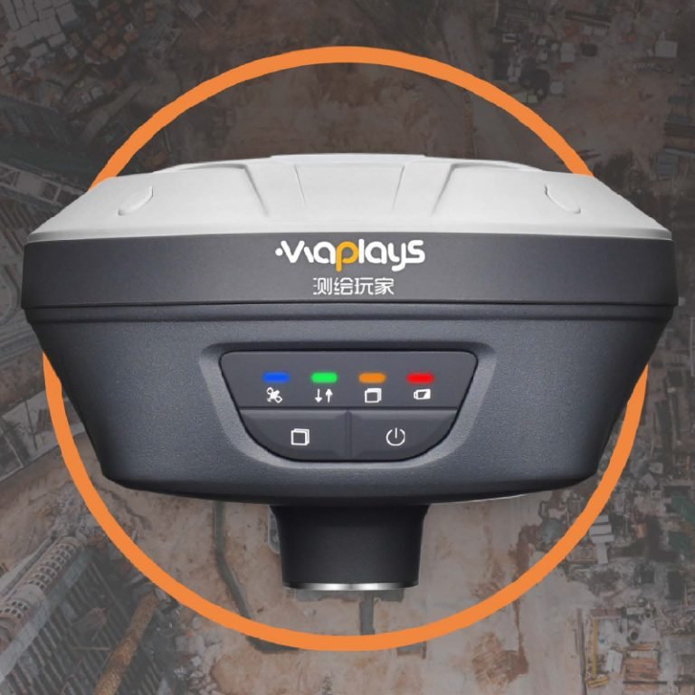
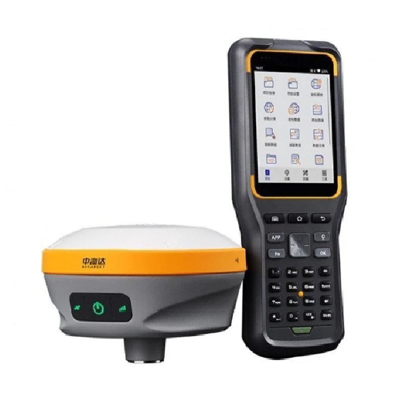
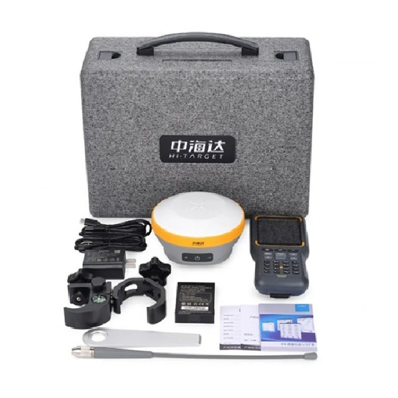
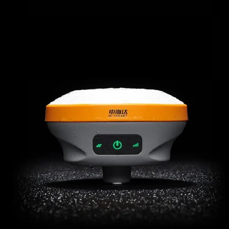
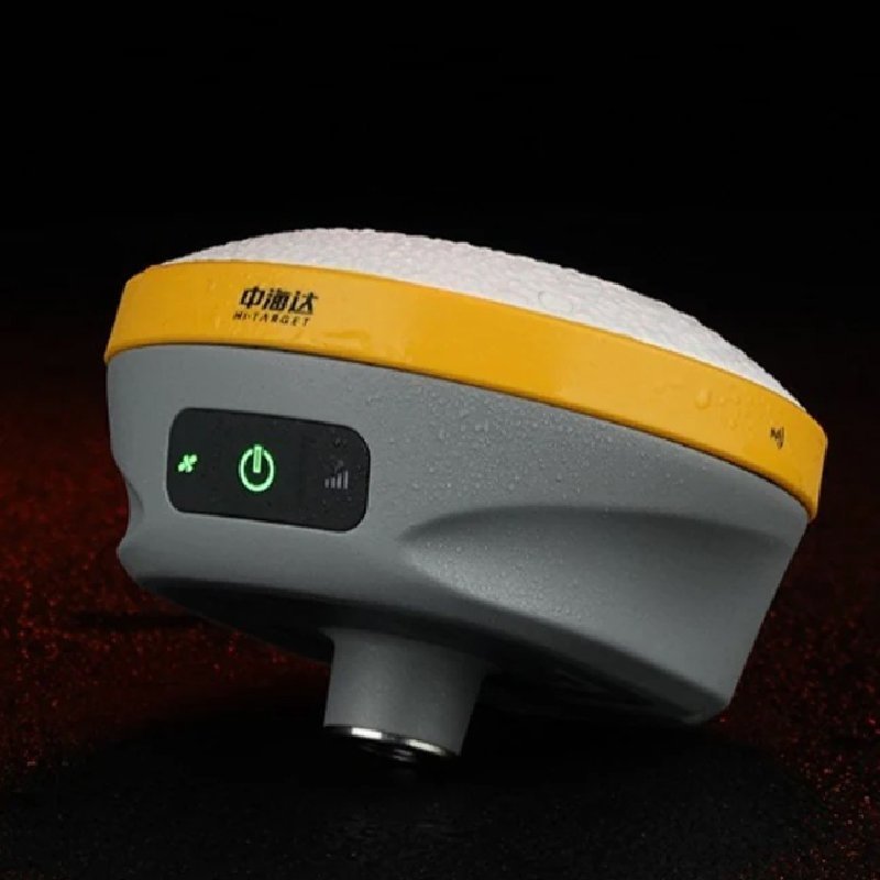
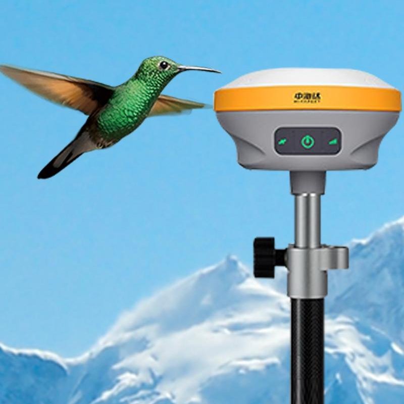
D8 Pro GNSS RTK Receiver


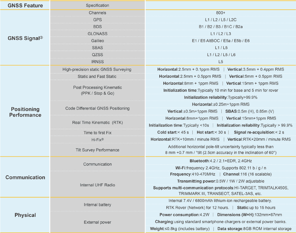
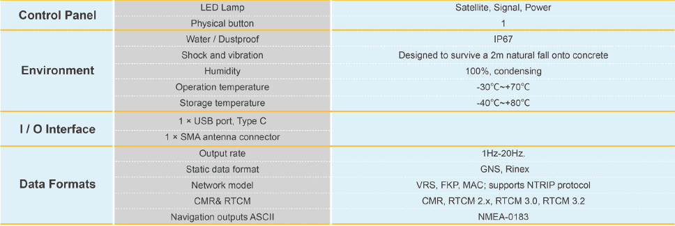
PRODUCT PARAMETERS
Description
 Abstract
D8 Pro GNSS RTK Receiver brings superior performance and high efficiency to sup-port your fieldwork with reliable solutions. lts deployment of the advanced RTKengine and new-generation lMU guarantees a 25% performance improvement evenin the most demanding environments. Thus you can count on Hi-Target D8Proforbetter productivity.
Features


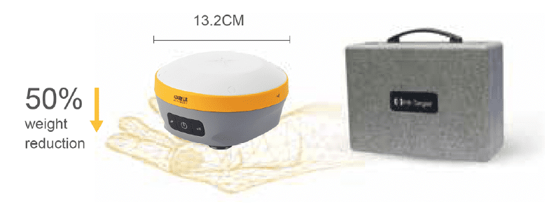
More Portability
Equipped with an ultra-light EPp material instrumentcase of a high anti-strong impact, shock and impactresistance and a centering rod that can be contracted to1.25 m, making it durable and portable in the fieldwork.
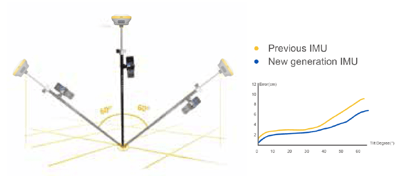
Greater Flexibility
It can bring accurate and reliable results and boost effi-cient fieldwork with self-developed built-in lMU and corealgorithm.
Higher Accuracy and Precision
Equipped with the High-Performance Patch Antenna.enhances the low elevation angle tracking capabilitiesand keeps it maintaining a high gain for higher elevationsatellites while tracking low-elevation satellites.
More Stability
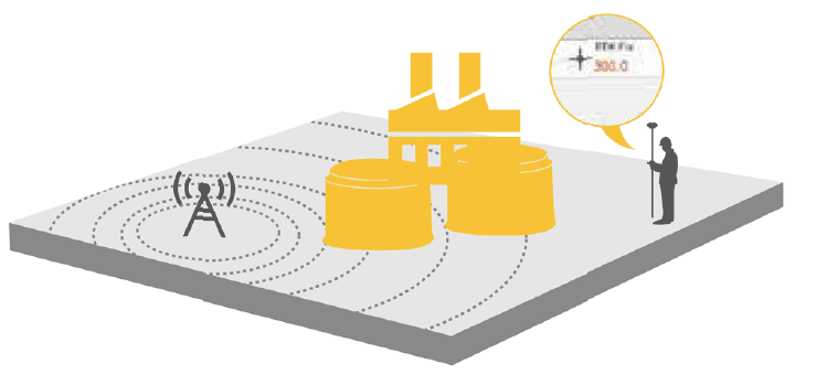
Hi-Target Hi-Fix enables continuous connectivity andquality results even if you lose the signal while using theRTK base station or RS network under extremecircumstances.
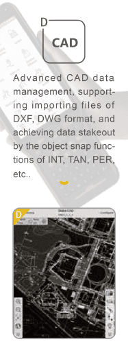
Hi-Survey Road

Working principle
RTK technology uses the differential method of real-time processing of the carrier phase observations of two measurement stations to send the carrier phase collected by the base station to the user receiver for differential coordinate calculation. Its system consists of a base station, a mobile station, data transmission equipment, an antenna system, and control software and processing algorithms. The base station receives satellite signals and calculates error data, and the mobile station corrects its position by receiving differential data from the base station. The data transmission equipment ensures real-time transmission of information.
Applications
● Geographical Surveying: RTK technology can be used for precise measurement and mapping, providing sub-meter accuracy, and is suitable for mapping topography, roads, buildings, land boundaries, etc.
● Construction: In construction, RTK technology is used for construction layout to ensure that the location, height and shape of the building meet the design requirements, and at the same time calculate the earthwork volume.
● Engineering Survey: RTK technology is suitable for construction layout and deformation monitoring of roads, bridges, tunnels and other projects.
● Transportation: RTK technology is used for road maintenance and vehicle navigation, monitoring road deformation and damage, and providing high-precision navigation for special vehicles.
● Archaeology: RTK technology is used for site mapping and excavation positioning, accurately recording the location and layout of archaeological sites.
Parameters
FAQ
In gravity exploration (SI), what is the unit of gravity? How to convert gravity units between SI and CGS?
What are gravitational field and gravitational potential?
What is the normal gravity field of the earth? What are the rules for the change of the normal gravity field with latitude and altitude?
What is the relationship between gravitational field strength and gravitational acceleration?
What is gravity exploration?