Welcome to Geotech!

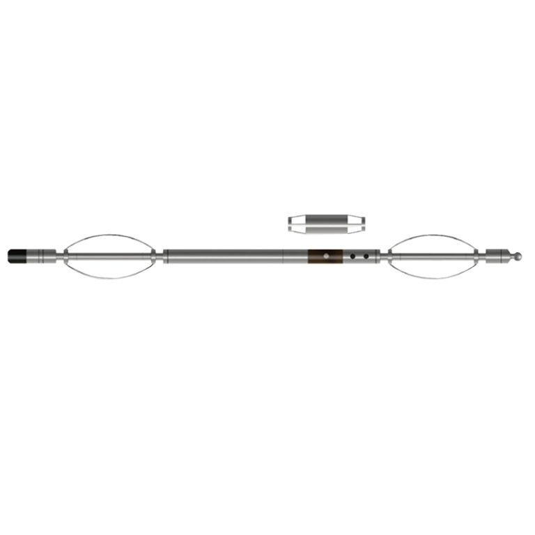
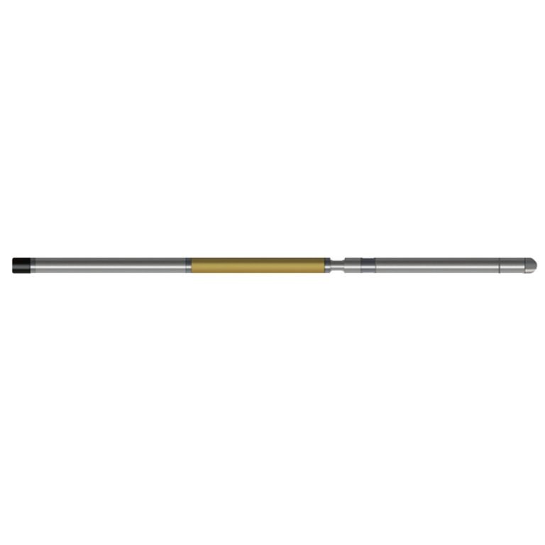
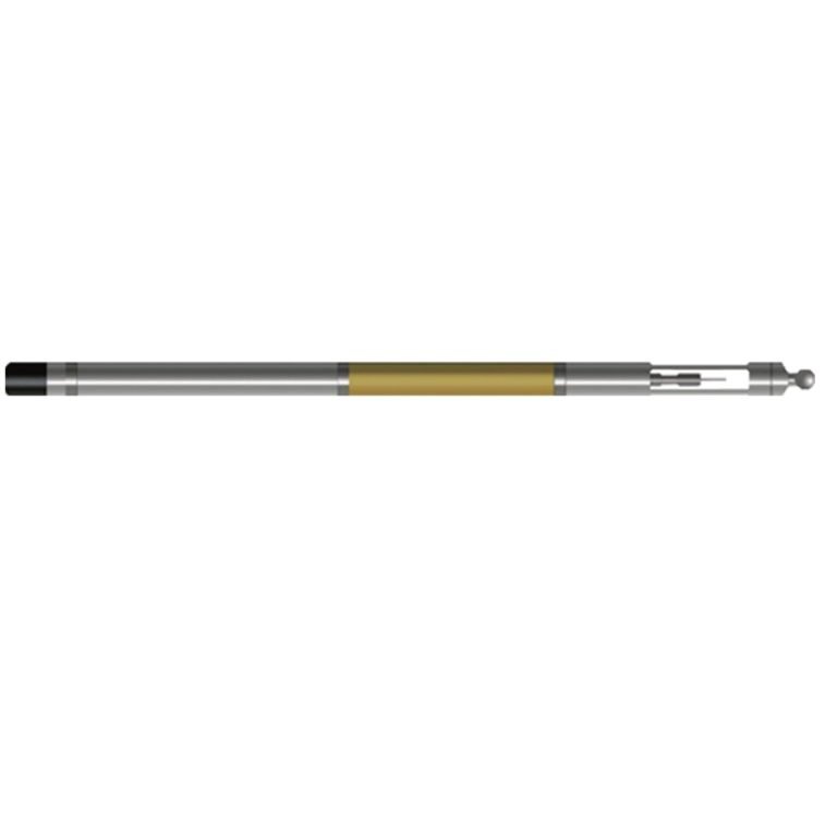
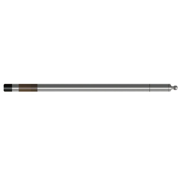
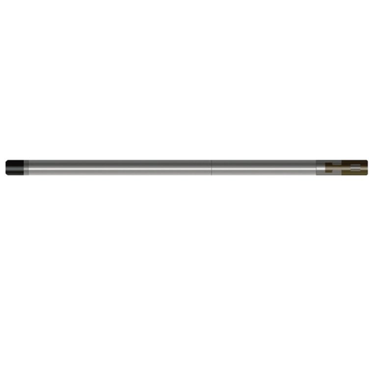
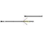
JJY-3D 3-Arm Caliper Probe

PRODUCT PARAMETERS
Description
 Abstract
JJY-3D 3-Arm Caliper Probe is a caliper that measures with a mechanical arm contact method. The three caliper arms are connected to the zero temperature drift linear sensor through a dynamic seal piston, which converts the caliper change into a digital quantity and then transmits it to the ground through encoding. It is also equipped with a liquid level detection electrode to detect the liquid level depth in the borehole. Liquid level depth information and caliper information are important parameters for hydrological survey logging.
Applicable Conditions
● Bare hole fill with water or mud
● Bare Dry hole
Applications
● Rock formation integrity assessment
● Location of cracks and caves
● Calculation of borehole volume before cementing
● Drillhole diameter measurement and correction calculation in conjunction with other well logging
Features
● The motor retracts and extends the borehole arm, and monitors the entire retraction and extension process, which is safe and reliable.
● t can be used in combination with the FD-3019 gamma logging tool. The measured borehole diameter and liquid level information can be used as correction parameters for gamma logging data.
Specifications
| Well diameter measurement method | Three-arm linkage, Contact type |
| Well diameter measurement range | Φ40~300mm |
| Measurement error | 1.5% F.S |
| The opening method of the well diameter arm | Controlled by ground command, and the motor executes the retracting and retracting command |
| Nuclear industry quantitative gamma FD-3019 probe interface (special order required) | |
| Signal output | Bipolar encoding |
FAQ
In gravity exploration (SI), what is the unit of gravity? How to convert gravity units between SI and CGS?
What are gravitational field and gravitational potential?
What is the normal gravity field of the earth? What are the rules for the change of the normal gravity field with latitude and altitude?
What is the relationship between gravitational field strength and gravitational acceleration?
What is gravity exploration?