Welcome to Geotech!

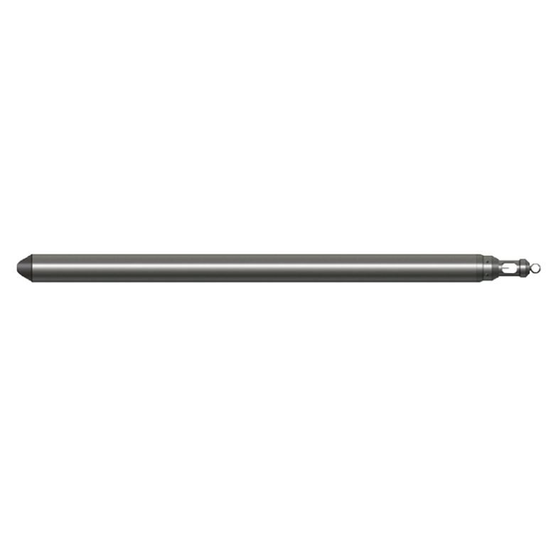
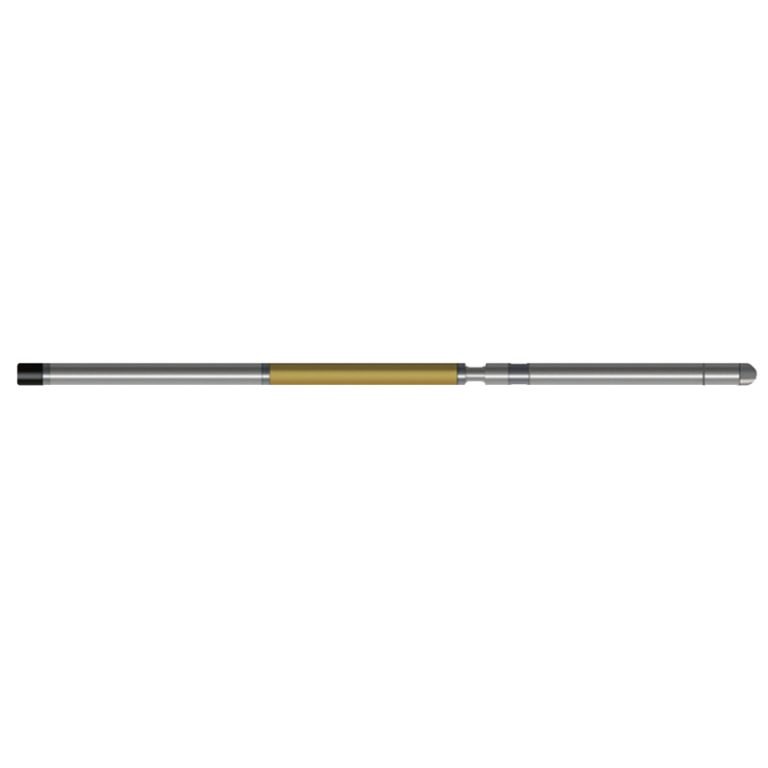
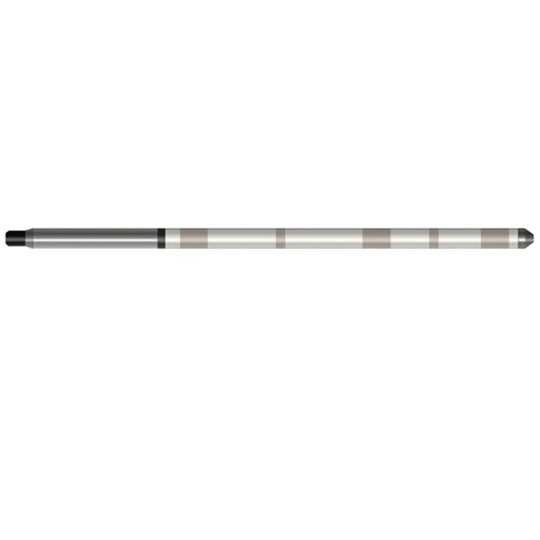
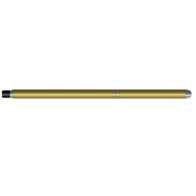
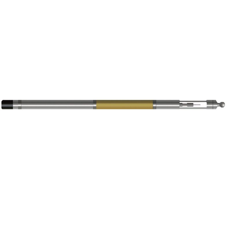
JWTX-1 Probe
PRODUCT PARAMETERS
Description
JWTX-1 Borehole Deviation & Temperature Probe
 Abstract
JWTX-1 Borehole Deviation & Temperature Probe can simultaneously measure multiple parameters such as well temperature, well temperature gradient, top angle, and orientation. By observing the change in temperature gradient, the surrounding conditions of the borehole can be judged to obtain information of practical value. The flow of underground fluids (groundwater, oil, natural gas, etc.) is an important factor in destroying thermal balance. When fluids and gases flow into the borehole, the volume expands, abnormal radioactive strata, oxidized strata, and the heat released by cement bonding outside the casing during well construction will cause temperature and gradient changes along the axial direction of the borehole.

Applicable Conditions
● Bare hole fill with water or mud
● Bare Dry hole
Applications
● Geothermal well detection, determine the heat-producing layer
● Find the liquid-producing layer and the loss layer
● Casing cement return height position and cementation status during well construction
● Hydrology and groundwater resource survey
Features
● The sensor uses a pt100 platinum resistor with a small time constant, which can quickly respond to changes in the temperature of the formation.
● The all-solid-state sensor has good seismic resistance.
Specifications
| Well temperature measurement range | 0℃~100℃, Resolution: 0.025℃ |
| Temperature gradient measurement range | 0.02℃/m~5℃/m (when measuring speed ~600m/H) |
| Well inclination (vertex angle) measurement range | 0°~50°, Accuracy: ±0.1° |
| Azimuth measurement range | 0°~360° (geomagnetic azimuth) |
| Azimuth measurement accuracy | Better than ±4° (when the vertex angle is 1°~30°) |
| Signal output | Bipolar encoding |
FAQ
In gravity exploration (SI), what is the unit of gravity? How to convert gravity units between SI and CGS?
① In SI, it is m·s-2, and one percent of it is the international unit abbreviation g.u.;
② Conversion between SI and CGS: 1g.u.=10-1 mGal
What are gravitational field and gravitational potential?
Gravitational field: The space around the earth with gravity is called the gravitational field.
Gravitational potential: The gravitational potential W in the gravitational field is equal to the work done by a particle of unit mass moving from infinity to that point.
What is the normal gravity field of the earth? What are the rules for the change of the normal gravity field with latitude and altitude?
① The normal gravity field of the earth: Assuming that the earth is a rotating ellipsoid (reference plane), the surface is glossy, the internal density is uniform, or it is distributed in concentric layers, the density of each layer is uniform, and the deviation of the shape of the ellipsoid from the geoid is very small, then the gravity field generated by the earth is the normal gravity field.
② The normal gravity value is only related to the latitude, the smallest at the equator and the largest at the poles, with a difference of about 50,000 g.u.; the rate of change of the normal gravity value with latitude is the largest at 45° latitude, and zero at the equator and the poles; the normal gravity value decreases with increasing altitude, and its rate of change is -3.086 g.u.. The main feature of the long-term change is the "westward drift" of the geomagnetic elements, both the dipole field and the non-dipole field drift westward, and have a global nature.
What is the relationship between gravitational field strength and gravitational acceleration?
The gravitational field strength is equal to the gravitational acceleration in both numerical and dimensional terms, and the two are in the same direction. In gravity exploration, all references to gravity refer to gravitational acceleration. The gravitational field strength at a point in space is equal to the gravitational acceleration at that point.
What is gravity exploration?
Gravity exploration is an exploration method that is based on the density difference of rocks and ores. Since density difference will cause local changes in the normal gravity field of the earth (i.e. gravity anomaly), it is used to solve geological problems by observing and studying gravity anomalies.