Welcome to Geotech!

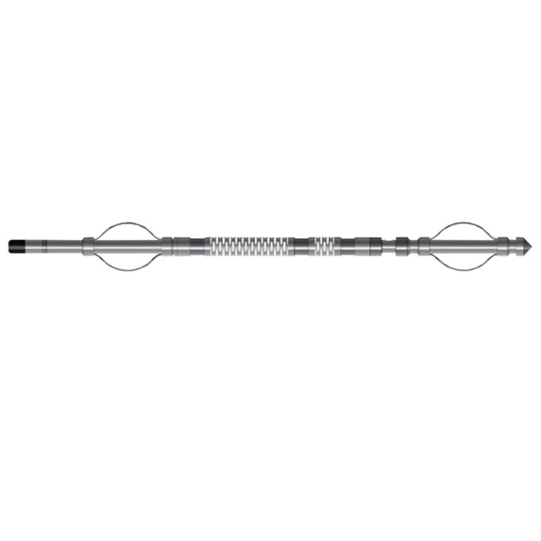
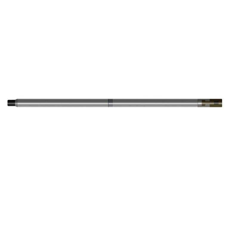
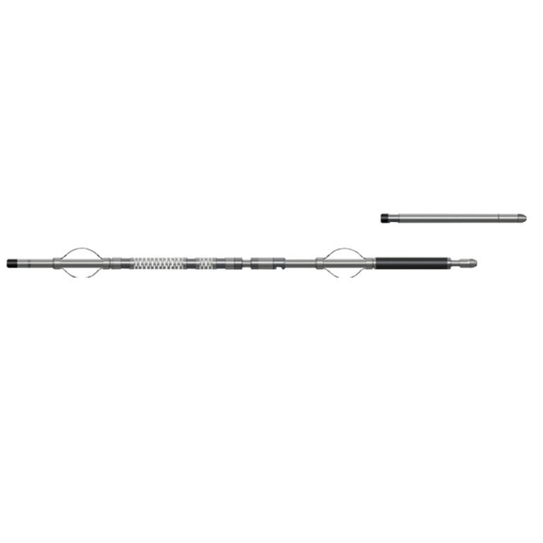
JWDX-H(W) Probe
PRODUCT PARAMETERS
Description
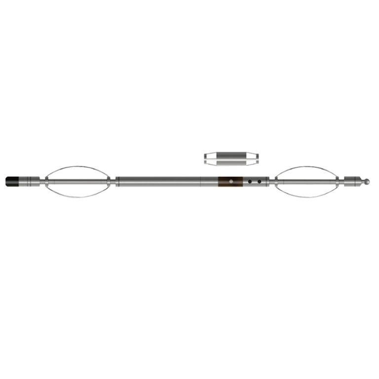
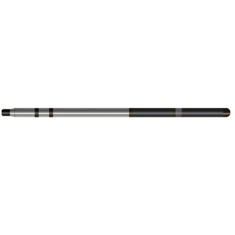
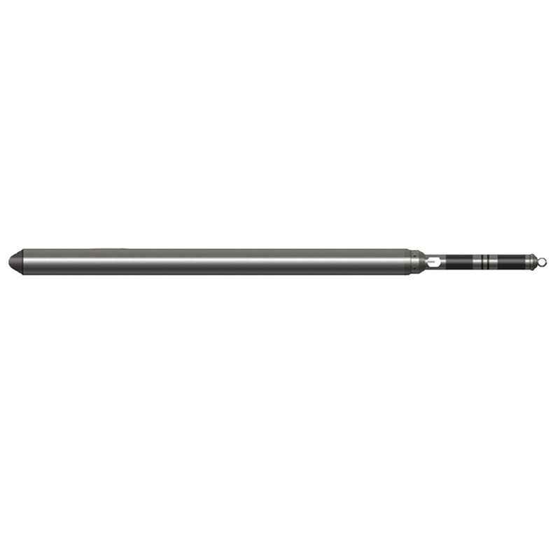
JWDX-H(W) Geothermal Combination(Resistivity&Deviation) Probe
 Abstract
JWDX-H(W) Geothermal Combination (Resistivity&Deviation) Probe is a multi-purpose and highly efficient combination logging tool. It can measure multiple parameters such as well temperature, top angle, azimuth, lateral resistivity, etc. in one trip. The resistivity measurement adopts the method of focusing current, which reduces the influence of well fluid and low-resistance rock formation on the calculated resistivity, so that the measured and calculated apparent resistivity is closer to the real resistivity of the rock formation. By measuring the top angle and azimuth, the curvature eccentricity, horizontal displacement, vertical distance and other parameters of the borehole can also be calculated.
Applicable Conditions
● Cased
● Bare hole fill with water or mud
● Bare Dry hole
Applications
● Divide stratigraphic interfaces and determine changes in stratigraphic facies
● Survey and research on geothermal resources, determine heatproducing layers, and find liquid outflow and loss layers
● Hydrology and groundwater resources survey
● Earthquake imminent and early prediction research, geological disaster prevention and control engineering
Features
● The lateral resistivity has a strong ability to stratify the lithology profile and is less affected by the well fluid, and the result is close to the real resistivity.
● The high-precision gravity acceleration sensor and high-precision magnetic field sensor are used, and the all-solid-state design improves the shock resistance and durability of the instrument.
● The platinum resistance sensor Pt-1000 is used, which has high temperature measurement accuracy and good stability.
Specifications
| Three lateral electrodes | Stainless steel electrodes, Electrode length: A0=60mm, Ap=2×120 mm |
| Resistivity measurement range | 1~2500ΩM, Accuracy: 5% |
| Well temperature measurement sensor | Pt-1000 |
| Well temperature measurement range | 0~ 250℃; Well temperature resolution: 0.025℃ |
| Vertex angle measurement range | 0°~50°; Measurement accuracy: ±0.1°; Resolution: 0.01° |
| Azimuth measurement range | 0°~360°;Measurement accuracy: ±4° (vertex angle 1°~30°) |
| Instrument pressure | ≤80 MPa; Instrument temperature resistance: -10℃~+250℃; Continuous working for 10 hours |
FAQ
In gravity exploration (SI), what is the unit of gravity? How to convert gravity units between SI and CGS?
What are gravitational field and gravitational potential?
What is the normal gravity field of the earth? What are the rules for the change of the normal gravity field with latitude and altitude?
What is the relationship between gravitational field strength and gravitational acceleration?
What is gravity exploration?