Welcome to Geotech!

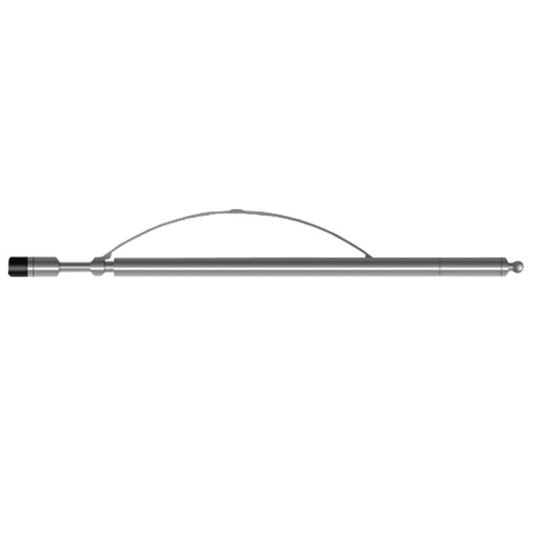
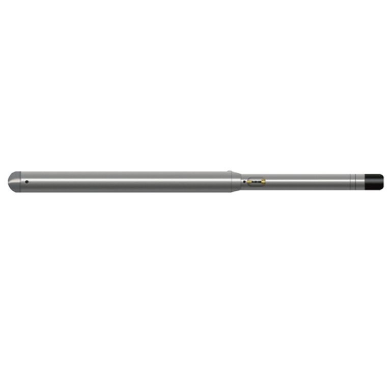
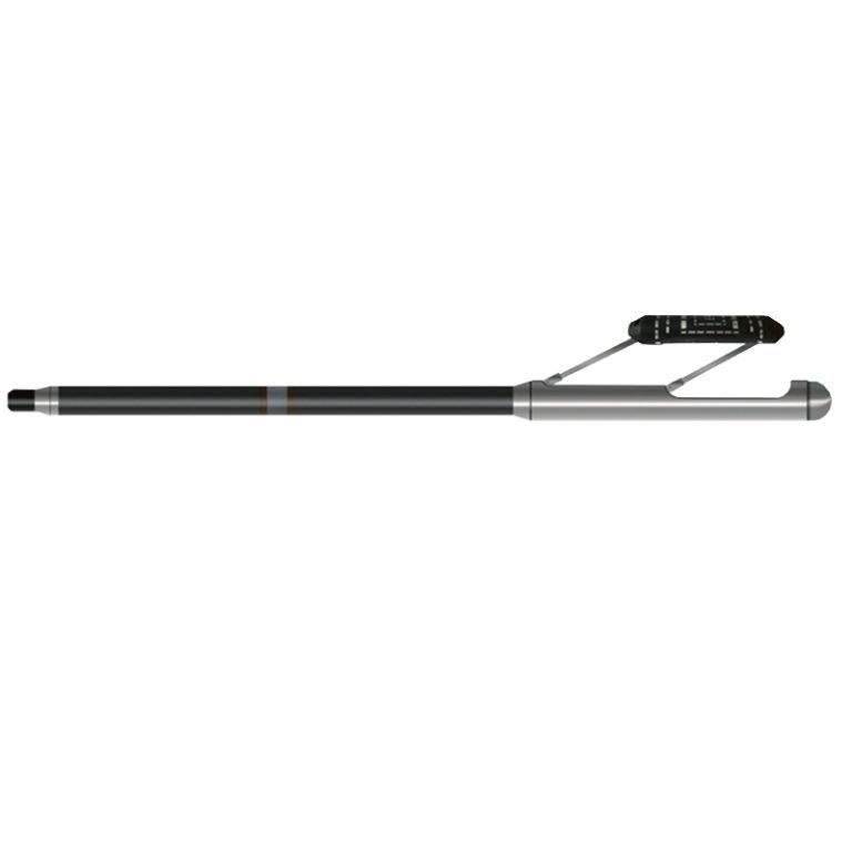
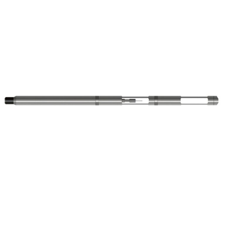
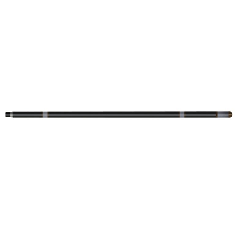
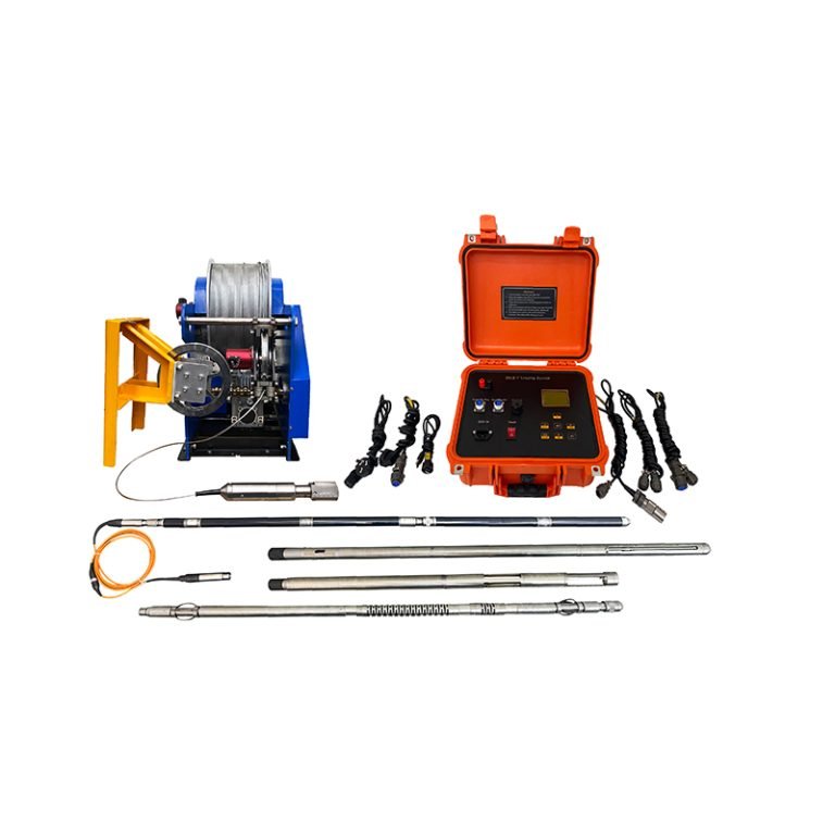
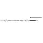
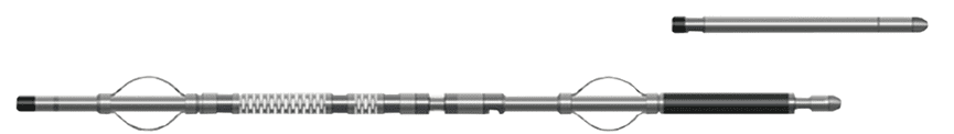
JSXW-3019 Probe

PRODUCT PARAMETERS
Description
JSXW-3019 Multi-Information Comprehensive Probe
 Abstract
JSXW-3019 Multi-Information Comprehensive Probe is a caliper that measures with a mechanical arm contact method. The three caliper arms are connected to the zero temperature drift linear sensor through a dynamic seal piston, which converts the caliper change into a digital quantity and then transmits it to the ground through encoding. It is also equipped with a liquid level detection electrode to detect the liquid level depth in the borehole. Liquid level depth information and caliper information are important parameters for hydrological survey logging.
Applicable Conditions
● Bare hole
● Fill with water or mud
Applications
● Exploration and quality evaluation of coal, gas, nuclear, hydrological and other mineral deposits
● Identify lithology and evaluate porosity and permeability
● Evaluation of rock formation fragmentation, rock strength and elasticity
Features
● The downhole instrument structure is optimized, the operation is simple, the instrument’s shock resistance is greatly improved, and it is more durable.
● Digital coding transmission improves the instrument’s anti-interference ability.
Specifications
| Vertex measurement range | 0°~50°, accuracy ±0.1°; resolution: 0.01 |
| Azimuth measurement range | 0°~360°, accuracy: ±2° (vertex>3°), ±4° (1°<vertex<3°) |
| Well temperature measurement range | -10~100℃, accuracy ≤0.2℃, sensitivity ≤0.1℃, temperature sensing time ≤2S |
| Stability | Continuous work for 4 hours, its output change ≯3% |
| Acoustic system | non-directional one-transmit and two-receive, source distance 0.5M, spacing 0.2m |
| Transmitting transducer | P-42 ceramic; receiving transducer: P-51 ceramic |
| Sound velocity measurement range | 125μs/m~555μs/m; measurement accuracy: 5μs/m |
| Amplitude measurement range | 0~2000mV; measurement accuracy: ±2% |
| Signal output | Bipolar encoding |
FAQ
In gravity exploration (SI), what is the unit of gravity? How to convert gravity units between SI and CGS?
① In SI, it is m·s-2, and one percent of it is the international unit abbreviation g.u.;
② Conversion between SI and CGS: 1g.u.=10-1 mGal
What are gravitational field and gravitational potential?
Gravitational field: The space around the earth with gravity is called the gravitational field.
Gravitational potential: The gravitational potential W in the gravitational field is equal to the work done by a particle of unit mass moving from infinity to that point.
What is the normal gravity field of the earth? What are the rules for the change of the normal gravity field with latitude and altitude?
① The normal gravity field of the earth: Assuming that the earth is a rotating ellipsoid (reference plane), the surface is glossy, the internal density is uniform, or it is distributed in concentric layers, the density of each layer is uniform, and the deviation of the shape of the ellipsoid from the geoid is very small, then the gravity field generated by the earth is the normal gravity field.
② The normal gravity value is only related to the latitude, the smallest at the equator and the largest at the poles, with a difference of about 50,000 g.u.; the rate of change of the normal gravity value with latitude is the largest at 45° latitude, and zero at the equator and the poles; the normal gravity value decreases with increasing altitude, and its rate of change is -3.086 g.u.. The main feature of the long-term change is the "westward drift" of the geomagnetic elements, both the dipole field and the non-dipole field drift westward, and have a global nature.
What is the relationship between gravitational field strength and gravitational acceleration?
The gravitational field strength is equal to the gravitational acceleration in both numerical and dimensional terms, and the two are in the same direction. In gravity exploration, all references to gravity refer to gravitational acceleration. The gravitational field strength at a point in space is equal to the gravitational acceleration at that point.
What is gravity exploration?
Gravity exploration is an exploration method that is based on the density difference of rocks and ores. Since density difference will cause local changes in the normal gravity field of the earth (i.e. gravity anomaly), it is used to solve geological problems by observing and studying gravity anomalies.