Welcome to Geotech!
-1.png)


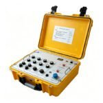
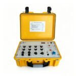
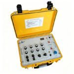
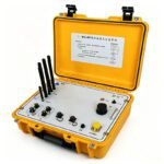
IOT Magnetotelluric System | 5G Cloud MT/AMT | 0.01Hz-50kHz
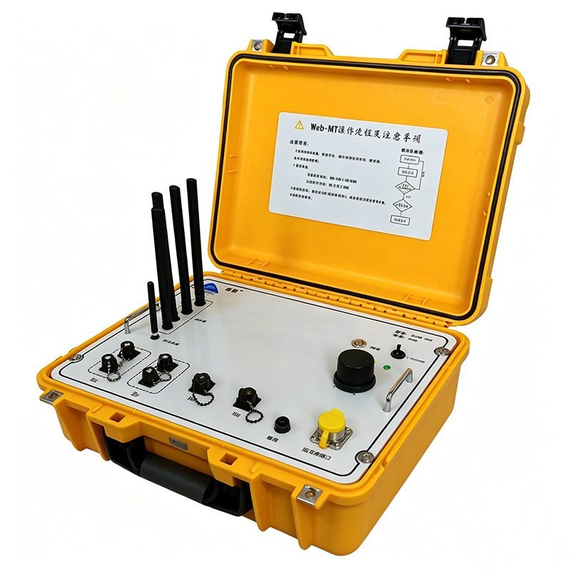
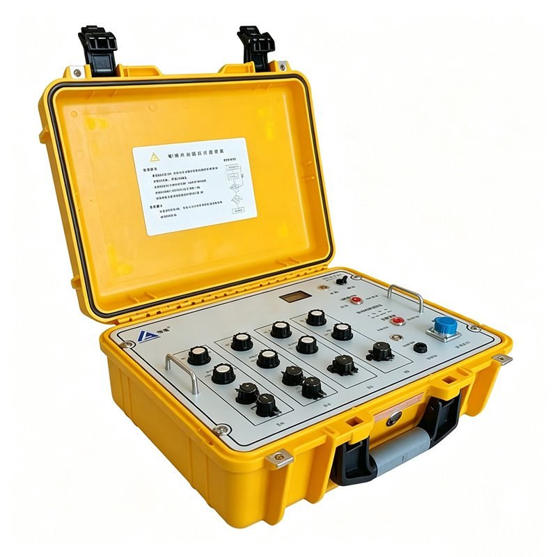
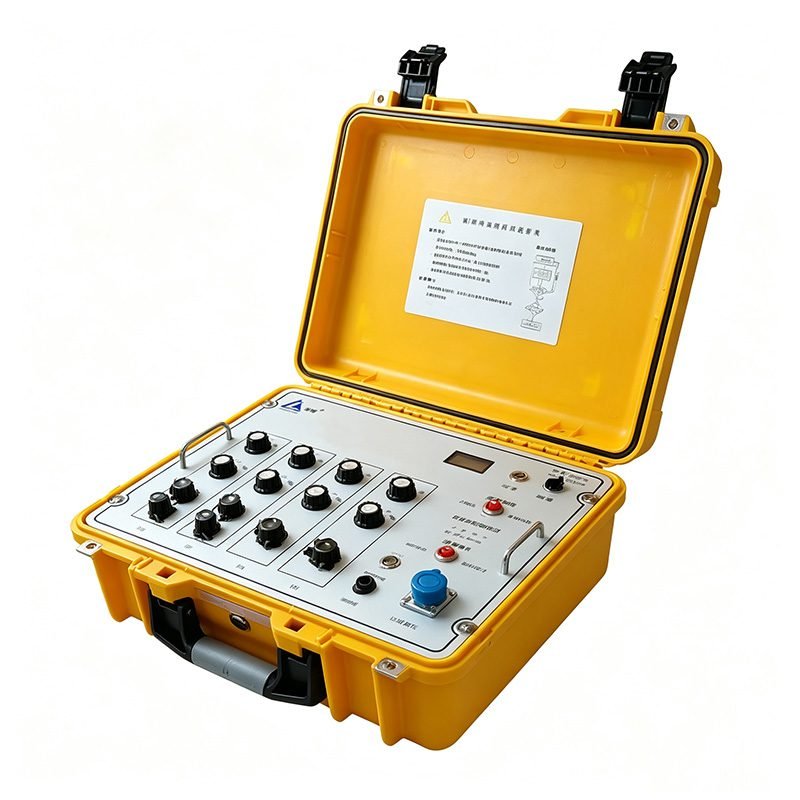
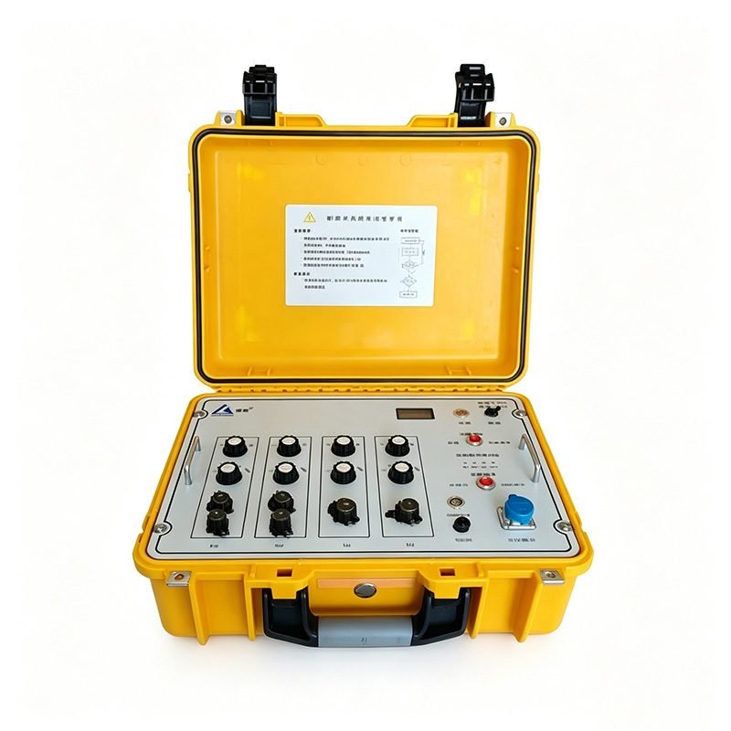
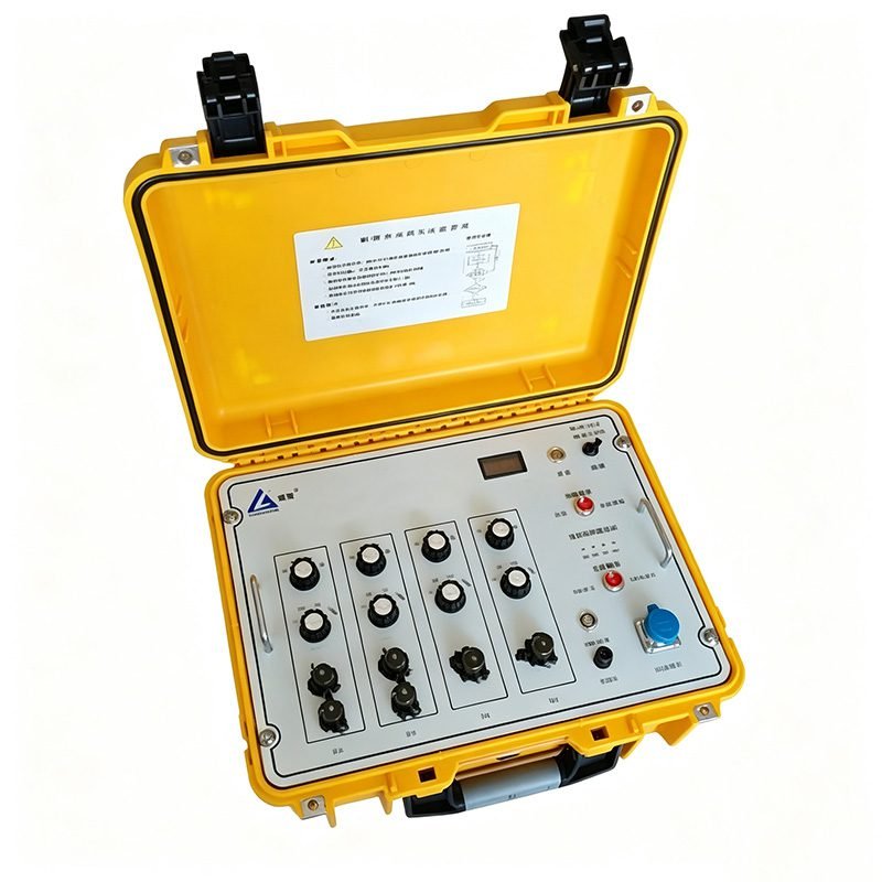
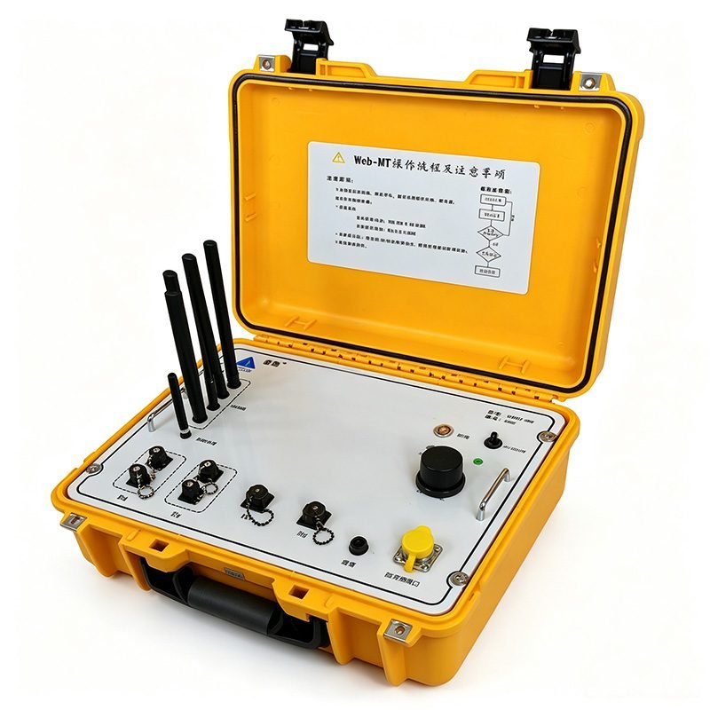
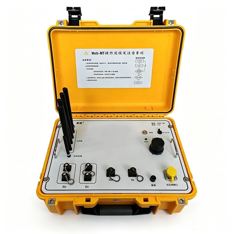
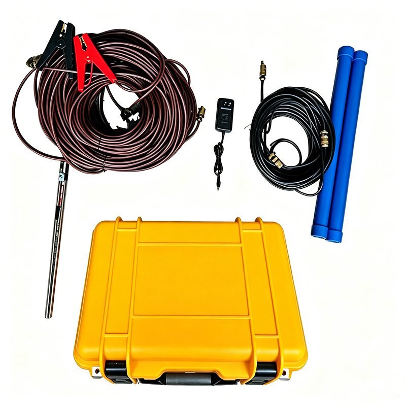
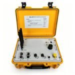
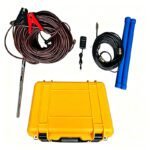

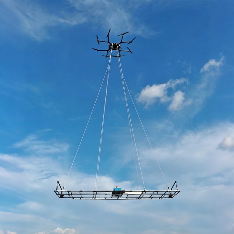
PRODUCT PARAMETERS
Description
 Overview
 Overview
Ground Electromagnetic Instrument has added an electrode connection testing function and integrated AMT and MT observation modes, significantly enhancing the working efficiency of deep-depth exploration.
The product is currently available in field version and Web version. Unlike traditional standalone exploration instruments, the Web-MT Ground Electromagnetic Instrument can upload the collected data to the cloud platform via 5G/4G mobile networks. This not only ensures data security but also in the processing and analysis of ground electromagnetic exploration data.
Features
1. 24-Bit High-Speed Acquisition with 8000× Adjustable Amplification
The system includes a 24-bit ADC sampling at 102.4kS/s. Combined with a manually adjustable signal amplifier up to 8000×, the system achieves exceptional data acquisition capability and accuracy. Weak natural electromagnetic signals at both high and low frequencies are captured with high fidelity. The broad dynamic range accommodates varying signal strengths across diverse geological environments.
2. Strong Anti-Interference with Physical Shielding and Data Preprocessing
Physical shielding is implemented on all sensors and acquisition circuits. Data preprocessing optimization algorithms suppress cultural noise and power-line interference. The system maintains data quality even in electromagnetically disturbed areas near power lines, industrial facilities, and populated regions. Field-proven robustness ensures reliable operation in challenging environments.
3. Flexible and Lightweight High-Frequency Magnetic Sensor
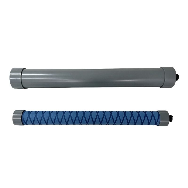
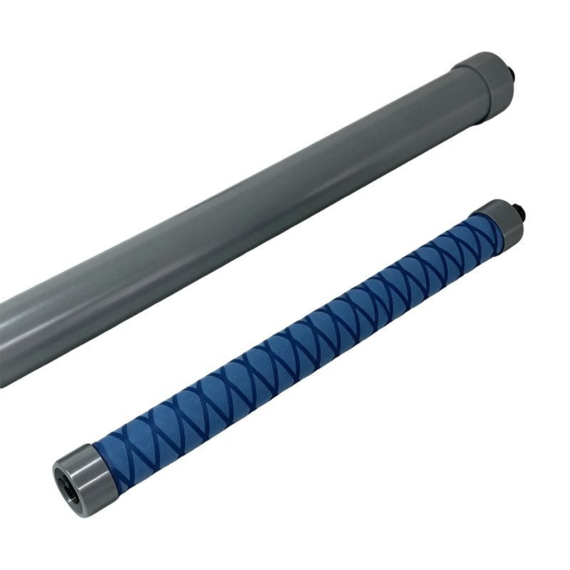
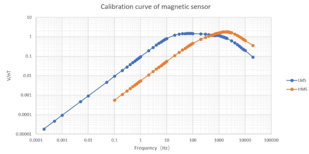
The self-developed high-frequency magnetic sensor weighs only about 1.5kg. This lightweight design enables rapid deployment and flexible array configurations. The sensor employs negative feedback amplification technology for stable frequency response. LMS sensor sensitivity reaches 1618 mV/nT @ 1000Hz. HMS sensor sensitivity reaches 1868 mV/nT @ 1000Hz. Both sensors deliver excellent performance across the audio-frequency band.
4. Robust Impedance Calculation with Real-Time Superposition
Continuous data acquisition and real-time Robust superimposed operation improve the data quality of impedance estimation. The algorithm automatically weights data segments based on signal quality. Noisy or disturbed segments are down-weighted. Clean segments contribute more to the final impedance estimate. This robust approach produces more reliable apparent resistivity and phase curves compared to simple averaging methods.
5. AMT + MT Dual Mode with Integrated Electrode Testing
The system integrates both AMT and MT observation modes. AMT mode covers 1Hz to 50kHz for shallow-to-intermediate depth investigation. MT mode extends to 0.01Hz (and 0.0002Hz expandable) for deep crustal and mantle studies. An electrode connection testing function is added to verify contact resistance before acquisition. This eliminates invalid data caused by poor electrode contact.
6. 5G/4G Cloud Platform for Real-Time Data Management
Unlike traditional standalone exploration instruments, the Web-MT version uploads collected data to the cloud platform via 5G/4G mobile networks. This ensures data security through redundant storage. Remote processing and analysis are enabled from any location. Field teams and office-based interpreters collaborate in real time. Project turnaround is significantly accelerated.
Technical Principles
The IOT Magnetotelluric System operates on the magnetotelluric (MT) method. Natural electromagnetic fields generated in the Earth’s atmosphere propagate into the subsurface. High-frequency signals originate from lightning activity. Intermediate frequencies come from ionospheric resonances. Low-frequency signals are generated by solar activity and magnetospheric disturbances.
As these natural EM waves travel into the Earth’s interior, they decay at a rate dependent upon their wavelength and the electrical resistivity of the rocks. By measuring the orthogonal electric field (E) and magnetic field (H) components at the surface, the impedance tensor Z is computed. Apparent resistivity and phase are derived for each frequency.
| Frequency Range | Method | Depth Range | Primary Source |
|---|---|---|---|
| >1Hz to 50kHz | AMT | 0-1000m | Lightning, sferics |
| 0.01Hz to 1Hz | MT | 1-10km | Ionospheric resonances |
| <0.01Hz | LMT | 10-100km+ | Solar/magnetospheric |
The IOT Magnetotelluric System covers 0.01Hz to 20kHz standard (expandable to 0.0002Hz to 50kHz). This broadband capability enables unified shallow-to-deep investigation in a single deployment.
Specifications
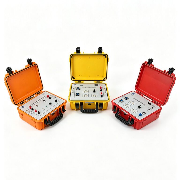
The IOT Magnetotelluric System comprises three core components. Data Acquisition Unit. Magnetic Field Sensors. Electric Field Sensors and Electrode Array.
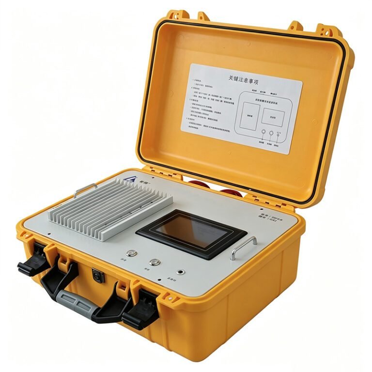
1. Data Acquisition Unit
| Parameter | Specification |
|---|---|
| Data acquisition | 4-channel synchronous (2E, 2H); 5-channel (2E, 3H) optional |
| Default operating frequency | 0.01Hz to 50kHz |
| Expandable frequency | 0.0002Hz to 50kHz |
| ADC resolution | 24-bit |
| Sampling rate | 102.4kS/s |
| Signal amplification | Manually adjustable up to 8000× |
| Default AMT observation duration | 200s |
| Default MT observation duration | 1000s |
| Synchronization | GPS timing |
| Data transmission | 5G/4G mobile network to cloud platform |
| Operating modes | Field version and Web version |
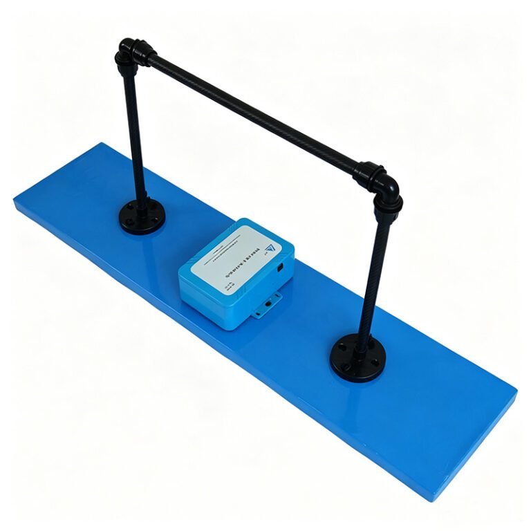
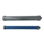
2. Magnetic Field Sensors
| Parameter | LMS Sensor | HMS Sensor |
|---|---|---|
| Sensitivity @ 1000Hz | 1618 mV/nT | 1868 mV/nT |
| Technology | Negative feedback amplification | Negative feedback amplification |
| Weight | ~1.5kg | ~1.5kg |
3. Electric Field Sensors and Electrode Array
Non-polarizing electrodes are deployed in orthogonal directions (Ex and Ey). Electrode spacing is typically 50-100m depending on target depth. The integrated electrode connection testing function measures contact resistance before acquisition. Poor contacts are identified and corrected immediately.
Applications
1. Geothermal Exploration
The system establishes an analysis framework of “crustal structure classification → deep large-scale structure inference → target layer positioning”. By adopting a progressive analysis model of “100km-10km-3km”, water-bearing layers and surrounding rock temperatures are reasonably inferred. Deep geothermal reservoirs at 3-10km depth are characterized. Fault and fracture networks controlling fluid flow are mapped.
2. Mineral Exploration
Deep-seated mineral deposits are investigated. The system identifies conductive alteration zones associated with ore bodies. Structural controls on mineralization are resolved. AMT mode maps shallow targets to 1000m. MT mode extends to concealed deposits at greater depth. Combined with other geophysical methods, comprehensive exploration models are built.
3. Deep Crustal and Mantle Studies
Long-period MT mode (0.0002Hz-0.01Hz) probes the crust and upper mantle. Lithospheric thickness is estimated. Conductive zones in the asthenosphere are mapped. Tectonic boundaries and suture zones are identified. The data contributes to regional geological and geodynamic studies.
4. Hydrocarbon Exploration
Sedimentary basin architecture is mapped. Resistivity contrasts between reservoir, seal, and source rocks are identified. Salt dome and carbonate reef geometries are resolved. The system provides cost-effective regional reconnaissance before seismic surveys.
5. Engineering and Environmental Geophysics
Groundwater resources are assessed. Fault and fracture zones in bedrock are located. Contaminant plume migration is monitored. The non-invasive nature of MT makes it ideal for environmentally sensitive areas.
Cases
Case 1: Geothermal Project — Progressive Multi-Scale Analysis
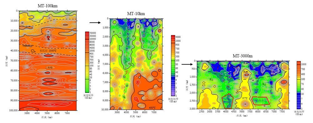
A geothermal exploration project adopted the “100km-10km-3km” progressive analysis model. At the 100km scale, long-period MT data revealed crustal thickness and heat flow patterns. At the 10km scale, regional fault systems and deep conductive pathways were mapped. At the 3km scale, AMT data precisely located the target reservoir horizon. Water-bearing layers were identified. Surrounding rock temperatures were inferred from resistivity-temperature relationships. Drilling targets were optimized. The integrated approach reduced exploration risk and accelerated project development.
Case 2: Mineral Project — Deep Magnetite Ore Discovery
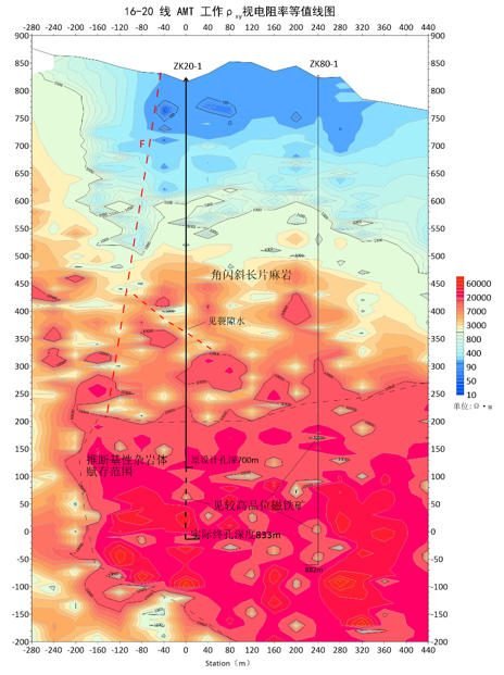
The original design depth of borehole ZK20-1 was 700 meters. AMT exploration work was conducted over the prospect area. The data revealed a deep conductive anomaly extending below the planned depth. Based on AMT guidance, drilling was extended to 711-800 meters. High-grade magnetite ore was discovered at the deeper horizon. The AMT survey proved critical for avoiding a near-miss and maximizing resource recovery.
FAQ
In gravity exploration (SI), what is the unit of gravity? How to convert gravity units between SI and CGS?
① In SI, it is m·s-2, and one percent of it is the international unit abbreviation g.u.;
② Conversion between SI and CGS: 1g.u.=10-1 mGal
What are gravitational field and gravitational potential?
Gravitational field: The space around the earth with gravity is called the gravitational field.
Gravitational potential: The gravitational potential W in the gravitational field is equal to the work done by a particle of unit mass moving from infinity to that point.
What is the normal gravity field of the earth? What are the rules for the change of the normal gravity field with latitude and altitude?
① The normal gravity field of the earth: Assuming that the earth is a rotating ellipsoid (reference plane), the surface is glossy, the internal density is uniform, or it is distributed in concentric layers, the density of each layer is uniform, and the deviation of the shape of the ellipsoid from the geoid is very small, then the gravity field generated by the earth is the normal gravity field.
② The normal gravity value is only related to the latitude, the smallest at the equator and the largest at the poles, with a difference of about 50,000 g.u.; the rate of change of the normal gravity value with latitude is the largest at 45° latitude, and zero at the equator and the poles; the normal gravity value decreases with increasing altitude, and its rate of change is -3.086 g.u.. The main feature of the long-term change is the "westward drift" of the geomagnetic elements, both the dipole field and the non-dipole field drift westward, and have a global nature.
What is the relationship between gravitational field strength and gravitational acceleration?
The gravitational field strength is equal to the gravitational acceleration in both numerical and dimensional terms, and the two are in the same direction. In gravity exploration, all references to gravity refer to gravitational acceleration. The gravitational field strength at a point in space is equal to the gravitational acceleration at that point.
What is gravity exploration?
Gravity exploration is an exploration method that is based on the density difference of rocks and ores. Since density difference will cause local changes in the normal gravity field of the earth (i.e. gravity anomaly), it is used to solve geological problems by observing and studying gravity anomalies.