Welcome to Geotech!
-1.png)


Magnetic Source Airborne Transient Electromagnetic System丨MSATEM
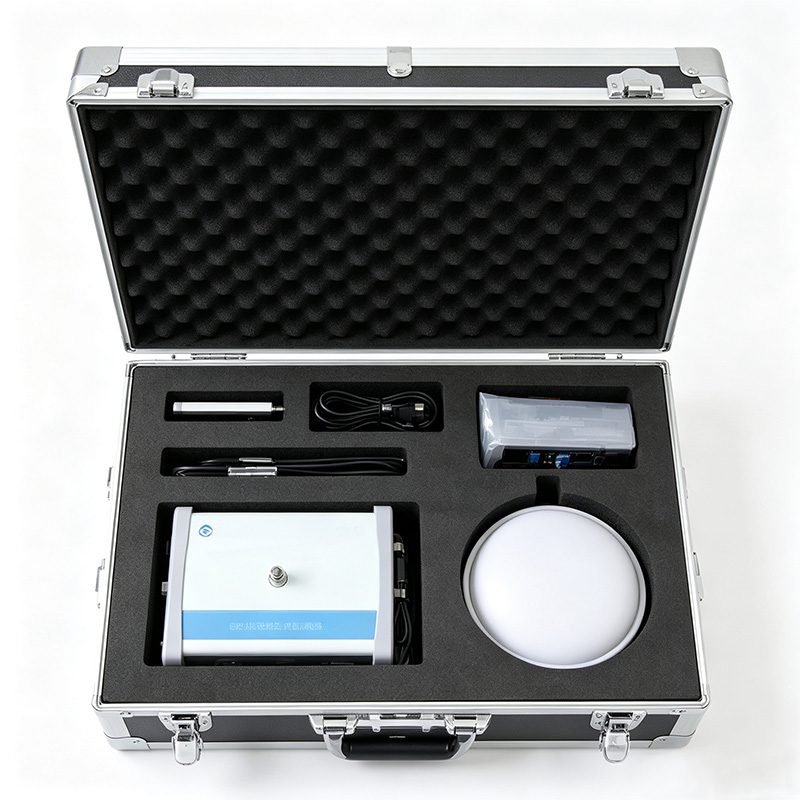
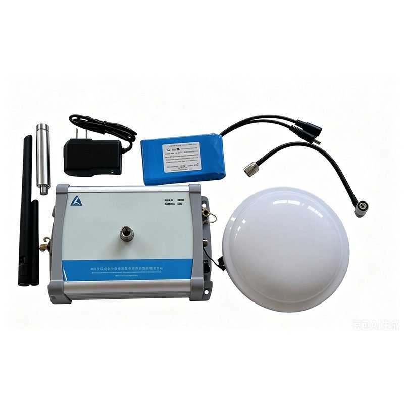
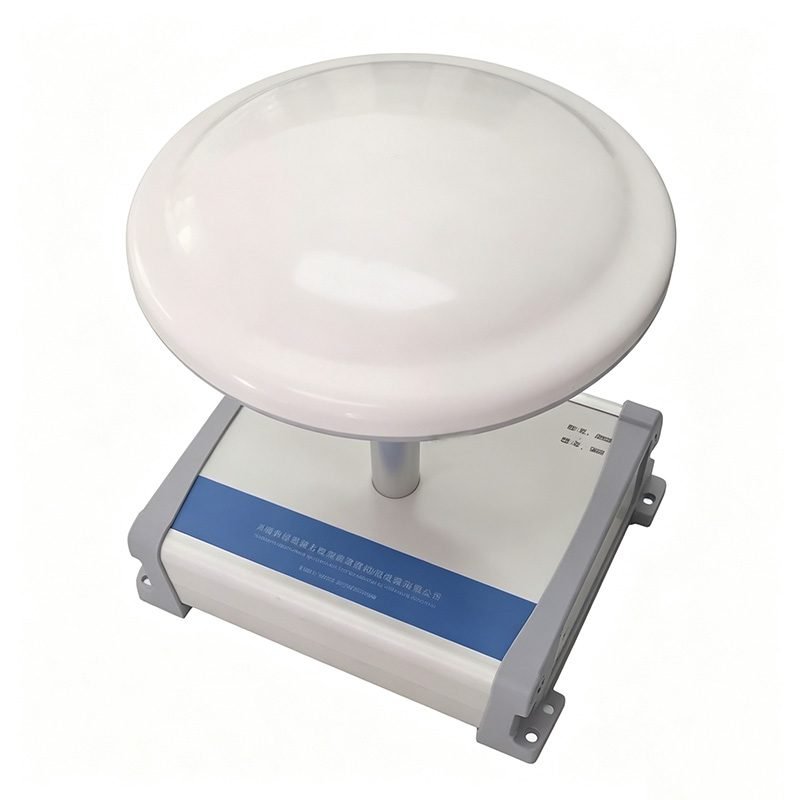
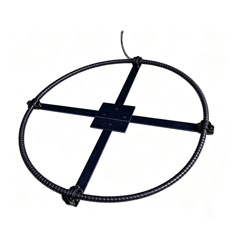
PRODUCT PARAMETERS
Description
 Overview
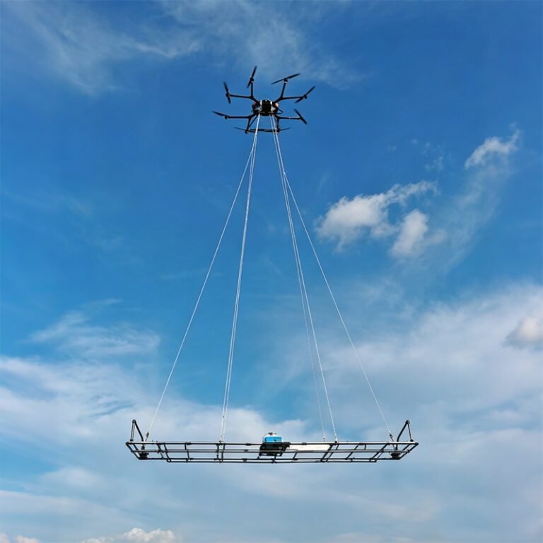
MSATEM system conducts high-power ground transmission and mobile receiver via multi-rotor drones. Its features of high-power ground transmission and airborne receiver enable it to ensure the detection depth while solving the exploration problems in areas where local personnel cannot reach. It is particularly suitable for work in complex terrain and landform areas such as mountains, wetlands, and water bodies.
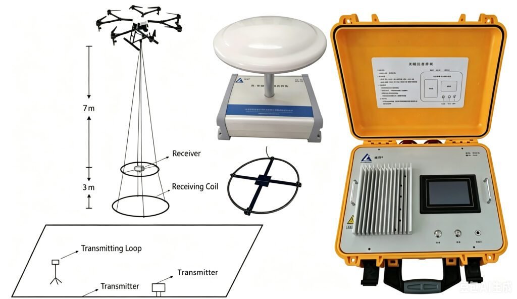
Features
1. High-Power Ground Transmission, Depth up to 1km
Transmitter voltage reaches DC500V. Current reaches 30A. Base frequencies cover 3.125Hz, 6.25Hz, 12.5Hz, and 25Hz. Turn-off time is adjustable from 0.5μs to 100μs. Large dipole moment ensures deep signal excitation. Maximum investigation depth reaches 1km. This meets deep mineral, groundwater, and geological structure exploration needs. A high-precision constant-temperature crystal oscillator ensures stable transmitter clock. Current accuracy is ±1%.
2. Multi-Rotor Drone Mobile Reception, Extreme Terrain Adaptability
Multi-rotor drones carry the lightweight receiver. They operate flexibly over mountains, wetlands, water bodies, forests, and cliffs. No ground crew enters hazardous areas. Operational safety improves dramatically. Daily coverage far exceeds ground methods. Drones fly at low altitude and slow speed. Survey density is high. Spatial resolution is excellent.
3. RTK Centimeter-Level High-Precision Positioning
The receiver integrates GNSS RTK differential positioning. With a ground GNSS base station, accuracy reaches centimeter level (1cm + 1ppm). This ensures precise spatial coordinates for each survey point. It provides high-quality position benchmarks for data processing and 3D inversion. It effectively eliminates flight track errors from data interpretation.
4. Anti-50Hz Power Frequency and Harmonic EMI
The system employs advanced anti-electromagnetic interference technology. It effectively suppresses industrial 50Hz and harmonic interference. High-quality data is acquired even in complex electromagnetic environments near cities, industrial zones, and high-voltage lines. This expands system applicability in culturally disturbed areas.
5. Real-Time Pre-Processing Edge Computing
The receiver has a built-in edge computing module. Data pre-processing runs simultaneously with acquisition. This includes noise suppression, preliminary stacking, and quality monitoring. Preliminary results are available in the field. This shortens fieldwork cycles and improves decision-making efficiency. It reduces invalid flights.
6. Cloud-Platform Apparent Resistivity Auto-Calculation
Based on the actual transmitter loop position, the system automatically calculates apparent resistivity. The cloud processing platform supports remote data management, collaborative analysis, and result visualization. This lowers the barrier for post-processing. It accelerates the transformation from raw data to geological interpretation.
Technical Principles
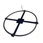
The MSATEM system uses a magnetic source transmitter. The transmitter sends bipolar square-wave current through a ground loop. The primary field excites eddy currents in conductive subsurface media. These currents decay under Ohmic effects. The decay process generates a secondary electromagnetic field. The drone-mounted receiver acquires the secondary field at various aerial positions. By analyzing the space-time distribution of the secondary field, subsurface resistivity distribution is inverted. This identifies ore bodies, aquifers, faults, and other geological targets.
Compared with full airborne TEM, MSATEM transmitter power is not limited by the flight platform. Dipole moment is larger. Investigation depth is deeper. Signal-to-noise ratio is higher. Compared with ground TEM, MSATEM does not require point-by-point receiver deployment. The drone collects data continuously in the air. Efficiency improves by orders of magnitude. Survey density is uniform. Coverage is extensive.
| Comparison Dimension | Ground TEM | Full Airborne ATEM | MSATEM Ground-Air |
|---|---|---|---|
| Investigation Depth | Deep (high power) | Shallow (platform limited) | Deep (ground high power) |
| Operational Efficiency | Low (point-by-point) | High (continuous flight) | High (continuous flight) |
| Terrain Adaptability | Poor (crew access needed) | Good (aerial operation) | Good (aerial reception) |
| Transmitting Power | Large | Small | Large |
| Operational Cost | Medium | High (aircraft rental) | Low (drone) |
| Data Density | High | Medium | High |
| Safety | Low (crew risk) | Medium (flight risk) | High (drone + ground tx) |
| Battery Life | Crew limited | Fuel limited | Tx 24h / Rx 48h |
System Architecture and Core Components
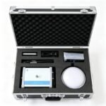
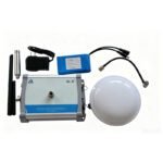
The MSATEM system consists of three major parts. High-Power Transient Electromagnetic Transmitter. Ground-Air Transient EM Receiver. Multi-Rotor Drone Flight Platform(Optional).
1. High-Power TEM Transmitter
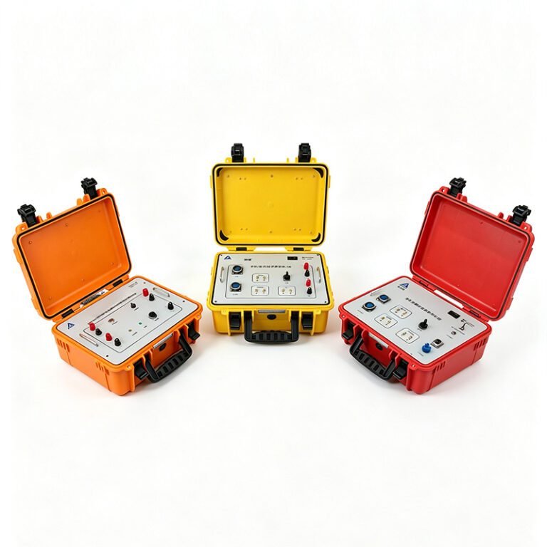
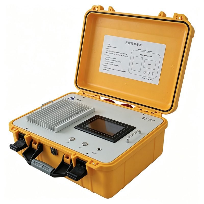
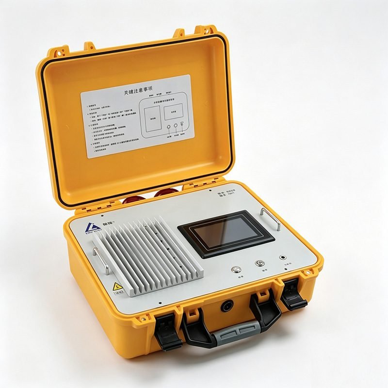
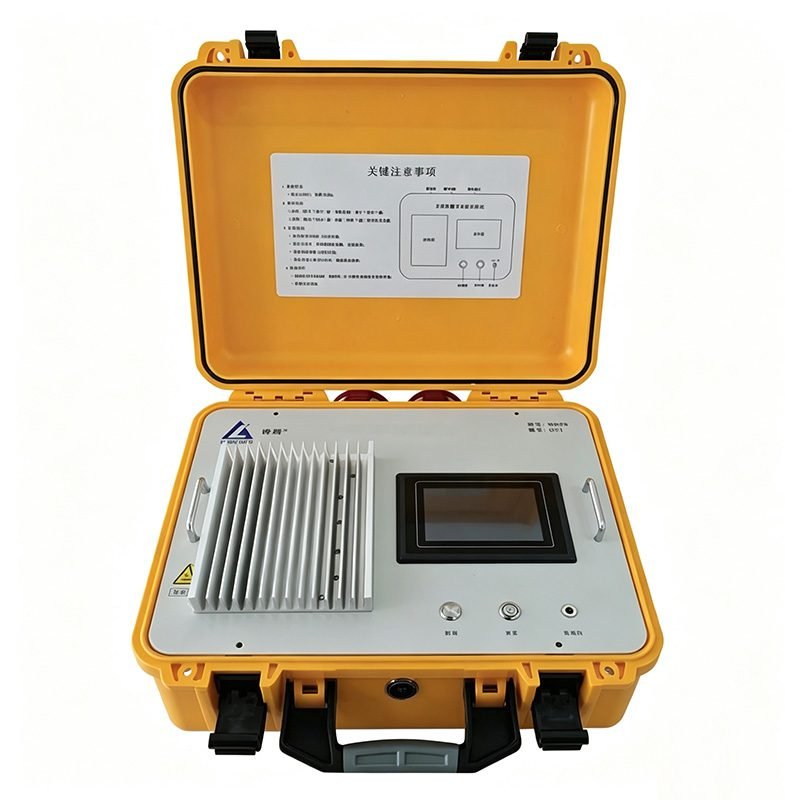
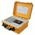
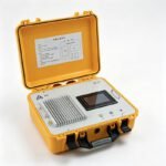
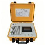
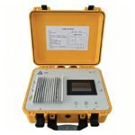
The transmitter converts input DC power into bipolar square wave output. It uses a high-performance main control chip. It integrates over-current, over-voltage, and over-temperature protection. The equipment runs safely, intelligently, and efficiently.
The transmitter main unit weighs about 8.1kg. Overall dimensions are 42.8×35×23cm (L×W×H). The built-in 12AH lithium battery supports 24 hours of continuous operation on a full charge. An external heat sink ensures stable performance in high-temperature environments. Operating temperature ranges from -25℃ to +50℃.
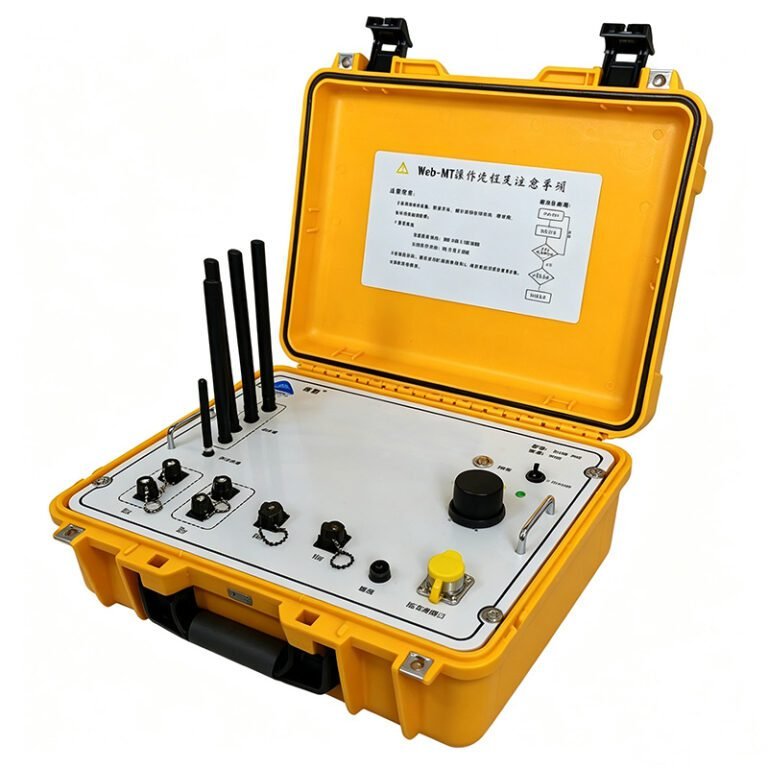
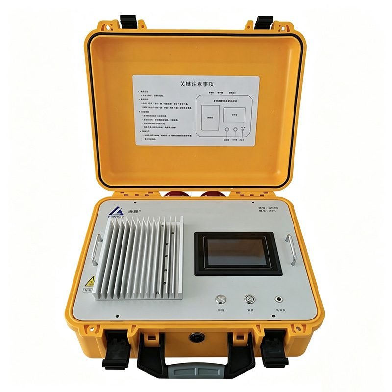
The front panel features a 5-inch touch screen. Function zones are clearly laid out. The radiator is on top. The start key and power key use physical buttons. Output and input ports use fool-proof connectors. Open-circuit and over-current LEDs provide real-time status alerts. An alarm sounds under abnormal conditions. The USB port supports connecting to a computer for data export. The device stores 1000 internal data records. It overwrites automatically when full. Current resolution is 0.01A. Voltage resolution is 0.1V. Current test accuracy is ±1%.
2. Ground-Air Transient EM Receiver
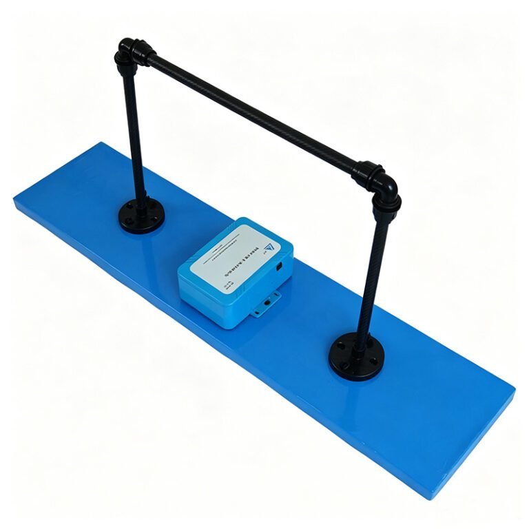
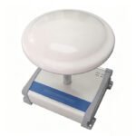
The receiver works with the high-power TEM transmitter. The main unit runs a built-in Linux operating system. It controls a high-performance A/D converter to acquire receiver coil voltage signals. A built-in high-precision GNSS chip enables RTK calculation. Positioning accuracy reaches 1cm + 1ppm. During data acquisition, the unit performs automatic real-time calculation. This greatly shortens post-processing time.
The receiver main unit weighs only 1.4kg. Dimensions are 16×13×5.5cm (L×W×H). The built-in 10AH lithium battery supports 48 hours of continuous operation on a full charge. Sampling frequency is 102400Hz. Resolution is 24-bit. Input range is ±5V. Input impedance is 10MΩ. Operating temperature ranges from -25℃ to +60℃.
The unit supports both wired Ethernet and wireless WiFi connections. Users open the control page through a browser. No dedicated software installation is required. The control page supports Chinese and English switching. LoRa communication range is ≤5km (open conditions). WiFi communication range is ≤10m (open conditions).
The left side features the receiver coil port, GNSS antenna port, LoRa antenna port, and PPS indicator. The right side features a USB port (reserved), Ethernet port, WiFi antenna port, charging port, and status LED group. Long-press the power key for 2 seconds to power on or off.
3. Multi-Rotor Drone Flight Platform(Optional)
The drone platform is selected according to payload and endurance requirements. Multi-rotor drones have vertical take-off and landing capability. They need no runway. They can use temporary sites near the survey block. Low-altitude, low-speed flight performance is excellent. This enables fine detection. The receiver mounts on the drone landing gear via a dedicated bracket. The GNSS base station is set up on the ground in an open area.
Specifications
Transmitter Technical Specifications
| Parameter | Specification |
|---|---|
| Waveform | Positive and negative polarity square wave |
| Base frequencies | 3.125Hz, 6.25Hz, 12.5Hz, 25Hz |
| Turn-off time | 0.5μs to 100μs |
| Transmitting voltage | ≤ DC500V |
| Transmitting current | ≤ 30A |
| Transmitting clock | High-precision constant-temperature crystal oscillator, independent mode |
| Current resolution | 0.01A |
| Voltage resolution | 0.1V |
| Current test accuracy | ±1% |
| Internal records | 1000 entries (circular overwrite) |
| Operating temperature | -25℃ to +50℃ |
| Heat dissipation | External heat sink |
| Power supply | Built-in 12AH lithium battery, 24 hours continuous operation |
| Host weight | Approx. 8.1Kg |
| Host size | 42.8×35×23cm (L×W×H) |
Receiver Technical Specifications
| Parameter | Specification |
|---|---|
| Input range | ±5V |
| Input impedance | 10MΩ |
| Sampling frequency | 102400Hz |
| Resolution | 24 bits |
| LoRa communication | ≤ 5km (open conditions) |
| WiFi communication | ≤ 10m (open conditions) |
| Positioning accuracy | Single point 1m, RTK 1cm+1ppm |
| Operating temperature | -25℃ to +60℃ |
| Power supply | Built-in 10AH lithium battery, 48 hours continuous operation |
| Host weight | 1.4Kg |
| Host size | 16×13×5.5cm (L×W×H) |
| Operating system | Linux |
| Control method | Browser web control (wired/wireless) |
Applications
1. Mineral Exploration
Rapidly delineate deep metal ore bodies. Identify low-resistivity anomaly zones. Such as copper, lead-zinc, and iron conductive ore bodies. The MSATEM system excites deep signals through large dipole moment transmission. The drone receiver acquires high signal-to-noise ratio data. Inversion results clearly identify mineralized anomalies. This guides drilling placement and reduces exploration risk.
2. Groundwater Detection
Identify aquifer distribution. Distinguish fresh-saline water interfaces. Assess groundwater resources. In semi-arid and karst regions, MSATEM can rapidly cover large survey blocks. It identifies water-rich structures and fault zones. This provides reliable basis for well placement and water resource evaluation.
3. Tunnel Advance Prediction
Detect karst, faults, and water-rich zones ahead of the tunnel face. Ensure construction safety. In complex mountain tunnel projects, MSATEM acquires forward geological information without entering the tunnel. It identifies water and mud inrush risks in advance.
4. Environmental Engineering
Detect subsurface contaminant plume distribution. Identify landfill leakage channels. Assess karst collapse risk. MSATEM non-intrusive surveys reduce environmental disturbance. It is suitable for urban peripheries and ecologically sensitive areas.
5. Landslide Monitoring
Probe deep structures of landslide bodies. Identify potential sliding surfaces and aquifer layers. Assess landslide stability. This provides geophysical basis for disaster warning and remediation design.
Cases
Case 1: Pulang Copper Mine Field Test
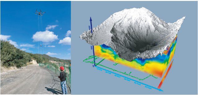
Pulang Copper Mine is located in a high-altitude mountainous area. The terrain is complex. Personnel access is difficult. Traditional ground methods are extremely inefficient. MSATEM conducted field tests at Pulang Copper Mine. The ground transmitter was deployed in accessible areas. The drone carried the receiver over the mountains. The system successfully acquired deep electrical data. It effectively identified mineralized anomaly zones. This validated the system’s operational capability in high-altitude complex mountain areas. Tests proved MSATEM has significant efficiency advantages in alpine mining areas.
Case 2: Hunan Groundwater Detection
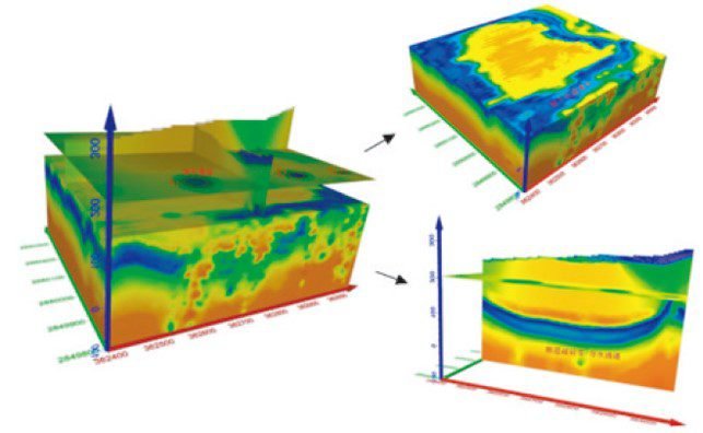
The system carried out a groundwater detection project in a region of Hunan Province. The survey block included farmland, rivers, and hills. The terrain was diverse. MSATEM rapidly completed large-area data acquisition. Through apparent resistivity inversion, aquifer distribution and water-rich fault zones were clearly identified. This provided reliable basis for subsequent well placement. Detection efficiency improved by more than 5 times compared to traditional ground methods. Project duration was significantly shortened.
FAQ
In gravity exploration (SI), what is the unit of gravity? How to convert gravity units between SI and CGS?
① In SI, it is m·s-2, and one percent of it is the international unit abbreviation g.u.;
② Conversion between SI and CGS: 1g.u.=10-1 mGal
What are gravitational field and gravitational potential?
Gravitational field: The space around the earth with gravity is called the gravitational field.
Gravitational potential: The gravitational potential W in the gravitational field is equal to the work done by a particle of unit mass moving from infinity to that point.
What is the normal gravity field of the earth? What are the rules for the change of the normal gravity field with latitude and altitude?
① The normal gravity field of the earth: Assuming that the earth is a rotating ellipsoid (reference plane), the surface is glossy, the internal density is uniform, or it is distributed in concentric layers, the density of each layer is uniform, and the deviation of the shape of the ellipsoid from the geoid is very small, then the gravity field generated by the earth is the normal gravity field.
② The normal gravity value is only related to the latitude, the smallest at the equator and the largest at the poles, with a difference of about 50,000 g.u.; the rate of change of the normal gravity value with latitude is the largest at 45° latitude, and zero at the equator and the poles; the normal gravity value decreases with increasing altitude, and its rate of change is -3.086 g.u.. The main feature of the long-term change is the "westward drift" of the geomagnetic elements, both the dipole field and the non-dipole field drift westward, and have a global nature.
What is the relationship between gravitational field strength and gravitational acceleration?
The gravitational field strength is equal to the gravitational acceleration in both numerical and dimensional terms, and the two are in the same direction. In gravity exploration, all references to gravity refer to gravitational acceleration. The gravitational field strength at a point in space is equal to the gravitational acceleration at that point.
What is gravity exploration?
Gravity exploration is an exploration method that is based on the density difference of rocks and ores. Since density difference will cause local changes in the normal gravity field of the earth (i.e. gravity anomaly), it is used to solve geological problems by observing and studying gravity anomalies.