Welcome to Geotech!

Application Breakthroughs of Magnetometers in Airborne Geophysical Exploration
ITPS:In the realm of airborne geophysical exploration, the magnetometer plays a pivotal role. This instrument, especially the proton magnetometer, has witnessed remarkable application breakthroughs. Magnetometers are used for high – altitude magnetic field measurement and aeromagnetic surveys. The proton magnetometer, with its unique principles, enables precise detection of magnetic anomalies. Discover how these two types of magnetometers drive innovation in airborne geophysical exploration and reshape resource exploration methods.

Ⅰ. Introduction
In geophysical exploration, airborne geophysical exploration stands out. It’s efficient and covers large areas. This makes it key for exploring the Earth’s deep structure and resource distribution.
Magnetometers are the core of this exploration. They keep achieving tech breakthroughs. These breakthroughs reshape how we collect and analyze geophysical info. From high – altitude magnetic field measurement to large – scale geological mapping, magnetometers in airborne exploration open new doors for geological work and resource development.
Next, we’ll dig into magnetometers’ application secrets in airborne geophysical exploration. We’ll also look at the tech changes they bring.
Ⅱ. Overview of Airborne Geophysical Exploration and Magnetometers
1. Significance of Airborne Geophysical Exploration
Airborne geophysical exploration uses aerial vehicles (like planes, helicopters). It measures and analyzes physical fields (Earth’s magnetic, gravitational fields) from the air.
This method gets geophysical data over large areas quickly. It avoids limits from ground terrain, vegetation, etc. It’s crucial for surveys in remote or complex areas. Whether finding minerals, studying geology, or doing engineering checks, it provides efficient, full basic data.
2. Core Role of Magnetometers
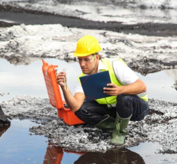
A magnetometer measures magnetic field strength and direction. In airborne exploration, it catches Earth’s magnetic field abnormalities at high altitudes.
Geological bodies (ore bodies, rock layers) cause local magnetic field deviations. Magnetometers sense these tiny changes. They turn them into analyzable data. This data supports geological interpretation and resource exploration.
Different magnetometers (proton, optical pump) have strengths in sensitivity, accuracy, and adaptability. They all help airborne geophysical exploration.
Ⅲ. Key Application Technologies of Magnetometers in Airborne Exploration
1. High – Altitude Magnetic Field Measurement
a. Technical Principles and Challenges
High – altitude magnetic field measurement is basic in airborne exploration. At high altitudes, the geomagnetic field has a spatial pattern. Solar activity and cosmic rays add magnetic interferences.
Magnetometers must overcome these. Take proton magnetometers. They use proton precession (hydrogen nuclei in a magnetic field) to measure strength. At high altitudes, proton magnetic moments stay stable. With precise control and calibration, we get reliable data.
b. Data Value and Application Scenarios
Data from high – altitude measurement identifies geological bodies’ magnetic traits. Different bodies (iron ore, granite) cause unique anomalies.
Geologists use these anomalies to find mineral areas and infer structures (faults, folds). For iron ore, ore bodies with ferromagnetic minerals cause clear anomalies. Magnetometer data guides follow – up ground surveys.
2. Aeromagnetic Survey Techniques
a. Processes and Methods of Aeromagnetic Surveys
Aeromagnetic surveys are a typical magnetometer use. The process has flight design, data collection, processing, and interpretation.
Flight design plans altitude and line spacing for full data coverage. During collection, magnetometers on aircraft record real – time magnetic data. Professional software then processes this data. It removes noise and interference to get anomaly data. Finally, geologists interpret anomalies to find underground structures and resources.
b. Applications in Resource Exploration and Geological Research
In resource exploration, aeromagnetic surveys find magnetic minerals (iron, nickel, chromium). They narrow prospecting ranges and boost efficiency.
In geological research, aeromagnetic data analyzes structure evolution. Large anomalies may link to ancient suture or fault zones. This helps geologists study past plate movements and crust changes.
3. Adaptation of Airborne Geophysical Equipment
a. Integration of Magnetometers with Airborne Platforms
Applying magnetometers in airborne exploration needs platform adaptation. Airborne platforms (planes) have limited space and complex EM environments.
To ensure stability, magnetometers need miniaturization and lightweighting. They also need EM shielding and anti – vibration measures. For example, install magnetometers in tail probe cabins or pods. Use shielding and shock – absorbing structures for high – altitude operation.
b. Multi – Equipment Collaboration and Data Fusion
In airborne exploration, magnetometers work with other gear (gravimeters, radioactive instruments). Multi – equipment collaboration gets richer geophysical info.
Data fusion (combining magnetic, gravitational, radioactive data) verifies geological interpretations. It boosts exploration reliability. For oil and gas studies, combining anomalies helps identify reservoir ranges and caprock traits.
Ⅳ. Values Brought by Magnetometer Application Breakthroughs
1. Efficient Large – Scale Geological Mapping
Traditional ground mapping is slow and limited by terrain and manpower. With airborne magnetometers, we get large – area magnetic data fast.
Combined with advanced processing and mapping tech, we finish large – scale geological mapping efficiently. Geologists classify, label, and interpret magnetic anomalies. They draw detailed structure and resource potential maps. These maps support regional research, planning, and development.
2. Accurate Insight into Complex Geological Environments
Ground exploration in mountains, deserts, or jungles is hard. Airborne magnetometers break terrain limits.
In mountains, they fly over peaks and valleys for continuous data, revealing internal structures. In deserts, aeromagnetic surveys find sand – covered ancient rivers or hidden ore bodies. This insight uncovers new geological info and potential resources.
3. Promoting Innovation in Resource Exploration and Geological Research
Magnetometer breakthroughs bring innovation. In resource exploration, new tech and data methods boost prospecting success. They help find new and hidden minerals.
In geological research, airborne magnetic survey big data combines with AI and machine learning. This uncovers deep geological info and promotes theory development. For example, big data analysis of magnetic anomalies reveals new geological laws, supporting plate tectonics and metallogenic theories.
Ⅴ. Development Trends of Magnetometer Applications in Airborne Exploration
1. Technological Upgrading: Higher Precision and Sensitivity
With electronic and material science progress, magnetometers will get more precise and sensitive. Future ones may detect weaker anomalies. This helps find deep hidden ore bodies and analyze geology finely.
New optical pump magnetometers will cut noise and boost accuracy. Quantum magnetometers, using quantum states, may bring ultra – sensitive measurement and a tech revolution.
2. Intelligent Development: Automatic Processing and Real – Time Analysis
Data processing speed affects exploration results. Future magnetometers will be intelligent. They’ll process data automatically and in real – time.
Built – in AI algorithms will handle data during flights. They’ll spot anomalies, mark key info, and feedback to pilots and geologists. This boosts efficiency and adjusts flight strategies for better data.
3. Multi – Technology Integration: Expanding Application Boundaries
Magnetometers will integrate with other tech (drones, satellite remote sensing). Drone – based exploration makes magnetometer use more flexible. It reaches narrow, dangerous areas.
Integration with satellite remote sensing collects multi – level magnetic data. It builds a complete Earth magnetic field model. This expands magnetometer use in geophysical exploration and space monitoring, supporting more research and engineering.
Ⅵ. Conclusion
Magnetometer application breakthroughs in airborne geophysical exploration are big progress. From high – altitude measurement to aeromagnetic surveys and platform adaptation, they show core value.
They enable efficient mapping, accurate complex environment insight, and innovation in resource and research. With tech upgrades and integration trends, magnetometers will keep expanding in airborne exploration. They’ll reveal deep Earth secrets, boost resource development, research, and protection, and drive Earth science and sustainable resource use.
Reference
- Society of Exploration Geophysicists (SEG) https://seg.org/
- Society of Environmental and Engineering Geophysicists (EEGS) https://www.eegs.org/
- Geology and Equipment Branch of China Mining Association http://www.chinamining.org.cn/
- International Union of Geological Sciences (IUGS) http://www.iugs.org/
- European Geological Survey Union (Eurogeosurveys) https://www.eurogeosurveys.org/