Welcome to Geotech!
-1.png)


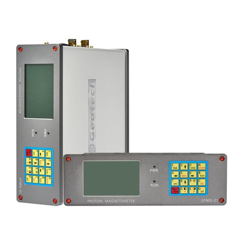
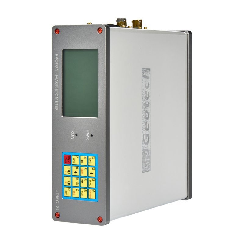
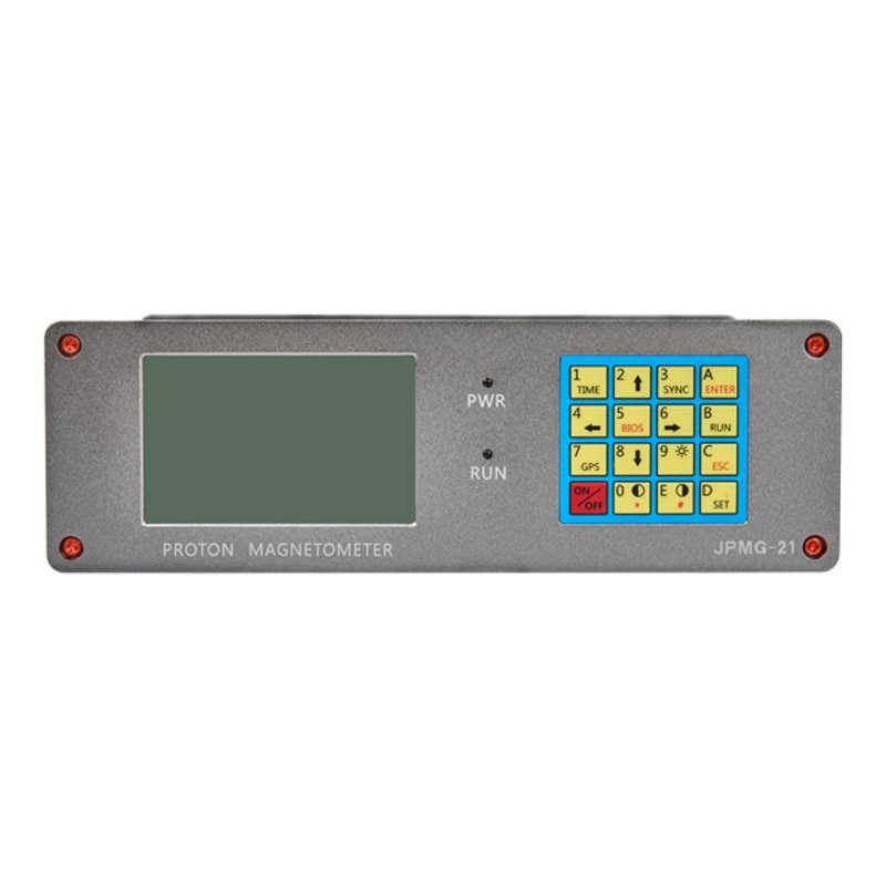
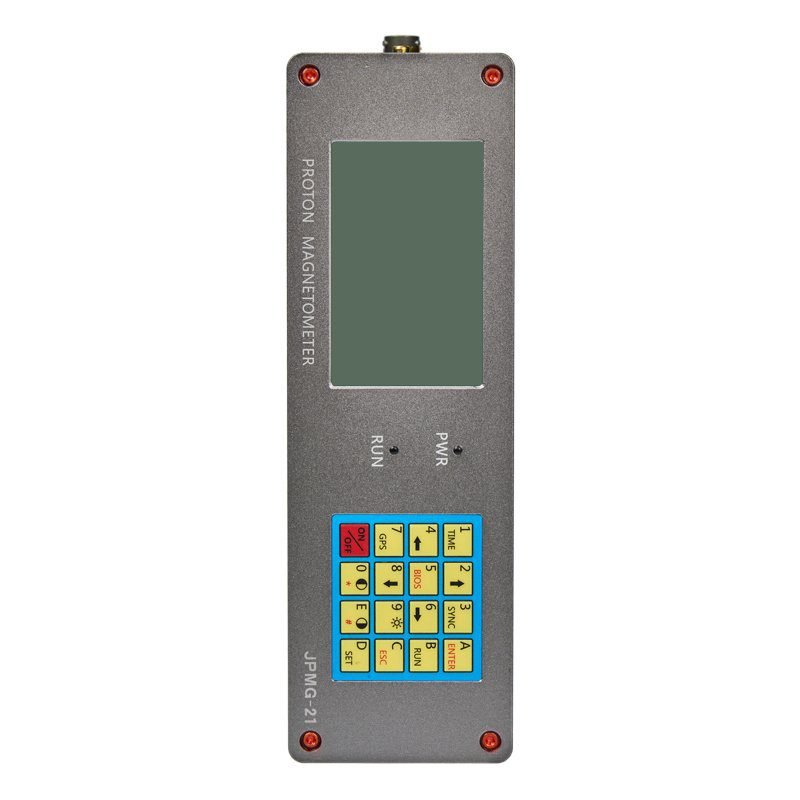
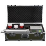
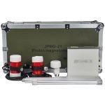
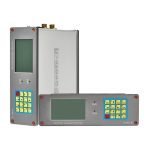
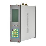
Proton Magnetometer | Dual-Sensor Version
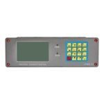
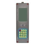
PRODUCT PARAMETERS
Description
 Abstract
 Abstract
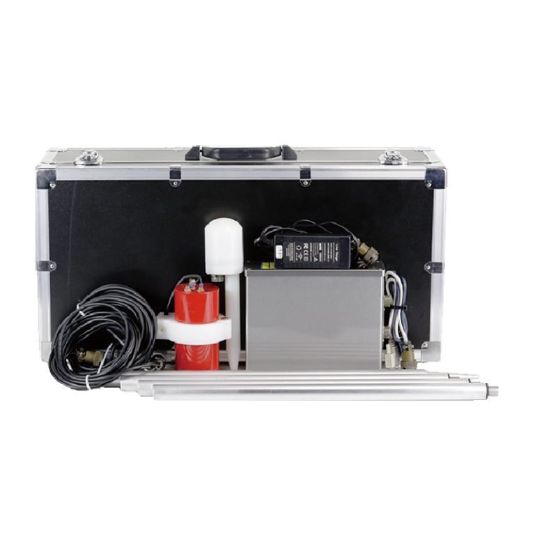
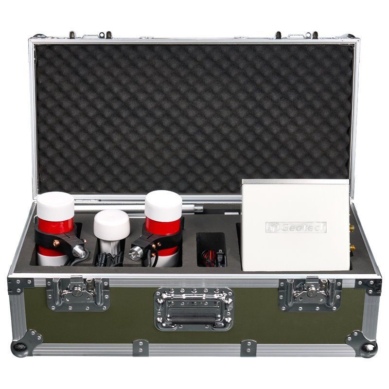
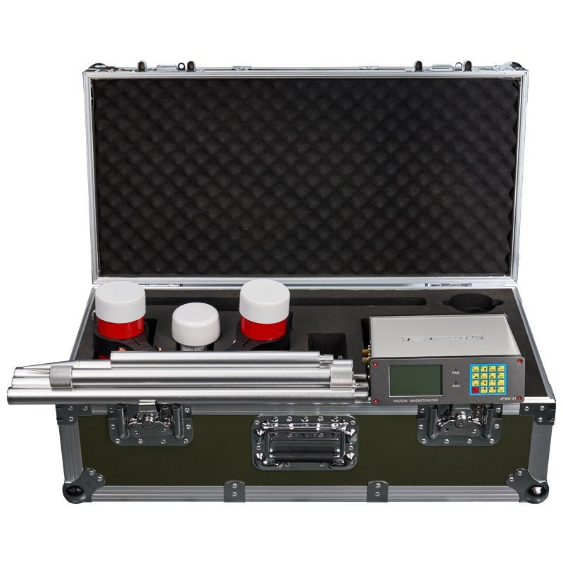
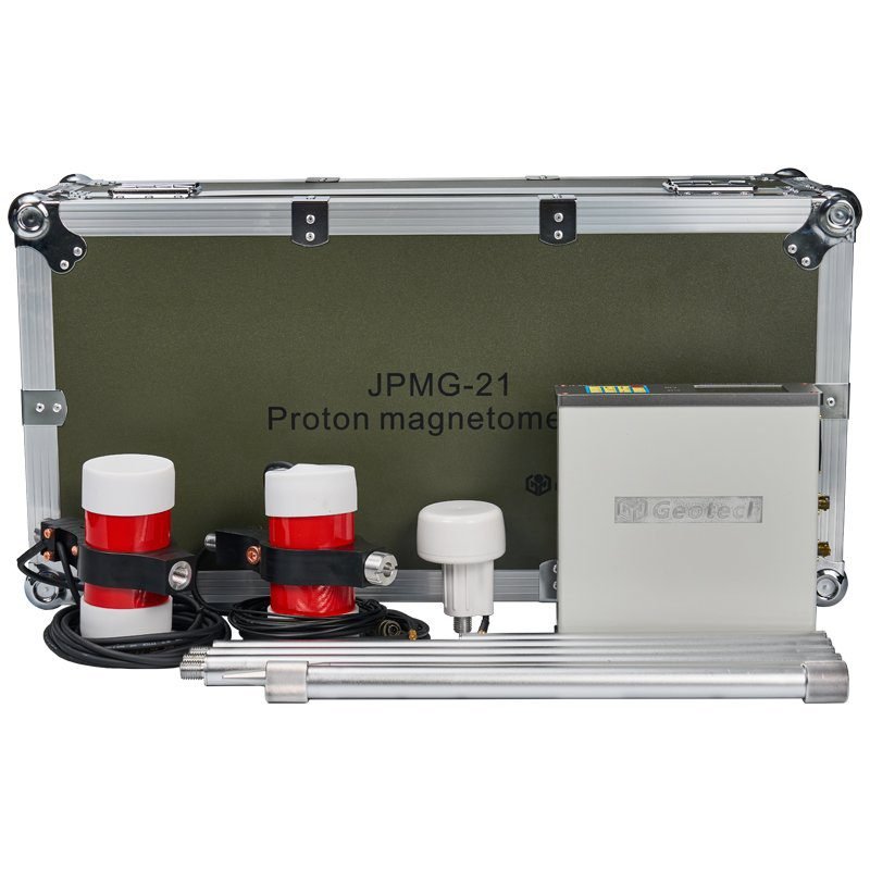
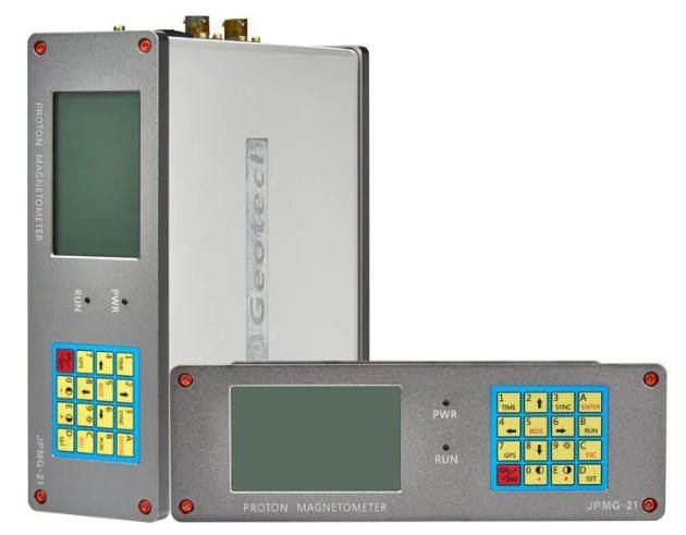
The JPMG Proton Magnetometer redefines ground-based magnetic surveying with military-grade durability and cutting-edge measurement technology. Designed for geophysical professionals, this field-ready instrument delivers 0.05nT sensitivity across a 20,000-120,000nT dynamic range, making it ideal for detecting subtle anomalies in mineral exploration, archaeological surveys, and tectonic studies.
As an upgraded variant of the JPMG series, the JPMG features dual-sensor configuration for enhanced data accuracy and workflow efficiency. Its OCXO-stabilized system ensures **±0.1nT absolute accuracy**, even in extreme environments (-40°C to +55°C).
Why Choose JPMG Magnetometer?
Military-Grade Precision
- 0.01nT resolution with temperature-compensated OCXO oscillator
- 30μs GNSS time sync across GPS/BeiDou/GLONASS systems
Multi-Scenario Adaptability
- 3 operational modes: Mobile/Walking/Base for dynamic field conditions
- **>5,000nT/m gradient tolerance** for rugged terrain
Enhanced Field Efficiency
- Dual sensors enable simultaneous data capture (vs. single-sensor JPMG)
- 32MB internal storage with USB/RS-232 dual transfer
Advanced Features of Proton Magnetometer
Real-Time Magnetic Field Visualization
- Dynamic gradient measurement with live curve displays
Smart Workflow Optimization
- Continuous walking-mode acquisition (3-60s sampling intervals)
Professional Data Integration
- Generate contour maps and 3D magnetic profiles via dedicated software
Ruggedized Design
- IP67-rated connectors and shock-resistant casing
Key Applications of JPMG Magnetometer
Mineral Exploration
- Iron/copper/zinc ore detection with 5000nT/m gradient tolerance
Energy Sector
- Oil & gas reservoir mapping through structural analysis
Environmental Monitoring
- Earthquake/volcanic precursor observation networks
Engineering Survey
- Pipeline detection & underground infrastructure mapping
Archaeological Research
- Non-invasive relic localization technology
Specifications
| Specifications | |
| Sensitivity | 0.05nT |
| Dynamic range | 20,000-120,000nT |
| Absolute accuracy | ± 0.1nT |
| Resolution | 0.01nT |
| Sample | 3~ 60s @Mobile Mode; 3~3600s @Base Mode. |
| Gradient Tolerance | >5000nT/m |
| Remote Control | optional remote control via RS-232 interface |
| Input/Output | RS-232 via 10 pin weatherproof connector with USB adaptor |
| Internal Memory | 32MB(209715 readings in Manual Mode, 699050 readings in Base Mode) |
| Dimension & weight | Console: 220mm(L)×70mm(H)×175mm(W);1.57kg Sensors: 140mm(L)×70mm(D); 1kg |
| Operating Temperature | – 40°C to + 55°C |
| Standard Configuration | |
| JPMG Proton Magnetometer Console | 1x |
| Harness / Charger | 1x |
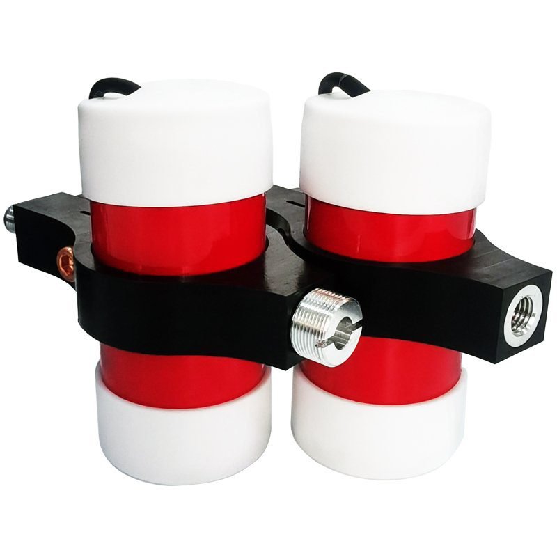
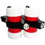
| Sensor with Cable | 2x |
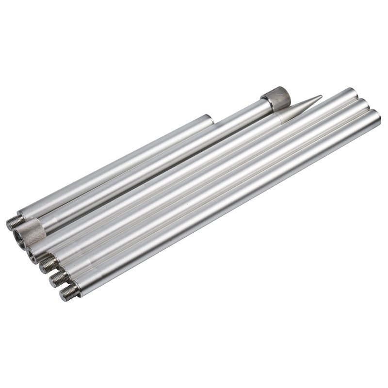
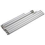
| Aluminum rod 50cm | 4x |
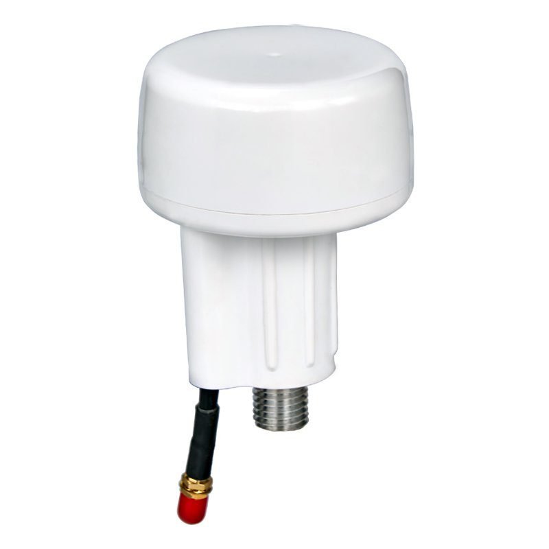
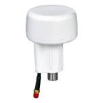
| Standard GPS | 1x |
| RS-232 Cable with USB adapter | 1x |
| Instruction Manual | 1x |
| Shipping Case | 1x |
Why Dual Sensors Version Outperforms Single Sensors Version?
| Feature | JPMG Dual Sensors Version | JPMG Single Sensors Version |
| Sensors | 2x probes | 1x probe |
| Field Efficiency | 150-200 pts/day | 100-150 pts/day |
| Data Redundancy | Dual-channel verification | Single-channel |
Compare Single Sensors Version & Dual Sensors Version
| Standard Configuration | ||
| JPMG Single Sensors Version | JPMG Dual Sensors Version | |
| JPMG Console | 1x | 1x |
| Harness / Charger | 1x | 1x |
| Sensor with Cable | 1x | 2x |
| Aluminum rod 50cm | 4x | 4x |
| Standard GPS | 1x | 1x |
| RS-232 Cable with USB adapter | 1x | 1x |
| Instruction Manual | 1x | 1x |
| Shipping Case | 1x | 1x |
Case study
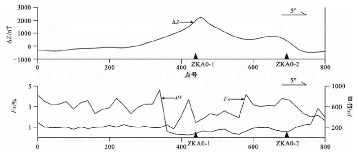
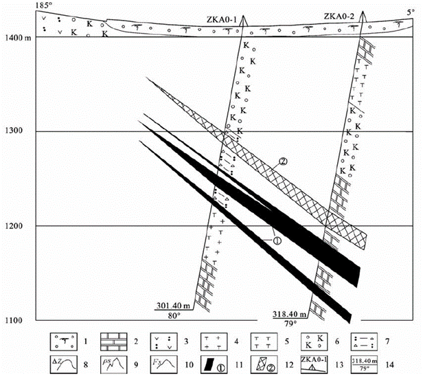
The relatively obvious magnetic anomaly section in the survey line is basically consistent with the abnormal range of apparent resistivity and apparent amplitude frequency in the induced polarization. The two verify each other. Combined with the results of the measurement of the physical properties of the main rocks (ores) in the study area, it is speculated that the anomaly is a mineral-induced anomaly caused by magnetite-bearing skarn or iron (zinc) ore body.
The results of high-precision magnetic profile measurements show that there is a relatively obvious magnetic anomaly area near the entire profile. Although the overall magnetic anomaly value is small and the magnetic anomaly range is narrow, the anomaly morphology is regular and the curve is approximately equiaxial. Therefore, it is preliminarily speculated that there is a certain degree of magnetite mineralization in this area.
**Keywords:** Proton Magnetometer, Magnetometer, Geomagnetic Survey Device, High-Sensitivity Magnetometer;
**Keywords Integration:**Proton magnetometer applications;High-accuracy magnetometer,Geological survey equipment,Portable magnetic gradiometer
FAQ
In gravity exploration (SI), what is the unit of gravity? How to convert gravity units between SI and CGS?
① In SI, it is m·s-2, and one percent of it is the international unit abbreviation g.u.;
② Conversion between SI and CGS: 1g.u.=10-1 mGal
What are gravitational field and gravitational potential?
Gravitational field: The space around the earth with gravity is called the gravitational field.
Gravitational potential: The gravitational potential W in the gravitational field is equal to the work done by a particle of unit mass moving from infinity to that point.
What is the normal gravity field of the earth? What are the rules for the change of the normal gravity field with latitude and altitude?
① The normal gravity field of the earth: Assuming that the earth is a rotating ellipsoid (reference plane), the surface is glossy, the internal density is uniform, or it is distributed in concentric layers, the density of each layer is uniform, and the deviation of the shape of the ellipsoid from the geoid is very small, then the gravity field generated by the earth is the normal gravity field.
② The normal gravity value is only related to the latitude, the smallest at the equator and the largest at the poles, with a difference of about 50,000 g.u.; the rate of change of the normal gravity value with latitude is the largest at 45° latitude, and zero at the equator and the poles; the normal gravity value decreases with increasing altitude, and its rate of change is -3.086 g.u.. The main feature of the long-term change is the "westward drift" of the geomagnetic elements, both the dipole field and the non-dipole field drift westward, and have a global nature.
What is the relationship between gravitational field strength and gravitational acceleration?
The gravitational field strength is equal to the gravitational acceleration in both numerical and dimensional terms, and the two are in the same direction. In gravity exploration, all references to gravity refer to gravitational acceleration. The gravitational field strength at a point in space is equal to the gravitational acceleration at that point.
What is gravity exploration?
Gravity exploration is an exploration method that is based on the density difference of rocks and ores. Since density difference will cause local changes in the normal gravity field of the earth (i.e. gravity anomaly), it is used to solve geological problems by observing and studying gravity anomalies.