Welcome to Geotech!

【Geological Radar Information】Analysis of the correlation between geological radar and geophysical detection
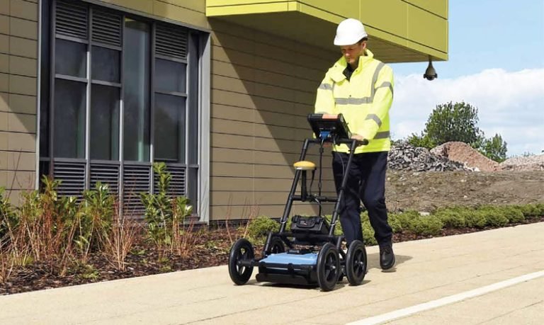
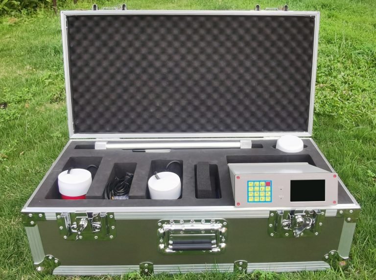
Geological radar detection has been widely used in the industry and has become an important technology in geophysical detection. Geological radar, with its high efficiency and accurate detection capabilities, helps geologists and mineral resource explorers to gain an in-depth understanding of underground geological conditions and provides reliable data support for research and development. This article will explore the correlation between geological radar and geophysical detection, and focus on regional applications.

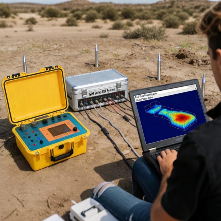
Geophysical detection is a method of inferring underground structures and geological characteristics by measuring geophysical phenomena. As a means of geophysical exploration, geological radar emits electromagnetic waves and receives reflected waves, and obtains information about underground materials by analyzing reflected wave signals. The use of geological radar can very accurately determine important parameters such as the thickness, properties and boundaries of underground geological layers, providing geologists with reliable data. In the region, the application of geological radar helps geologists to deeply study the underground geological structure of the region, providing an important basis for the prediction and prevention of geological disasters.

The application of regional geological radar detection is mainly concentrated in two aspects: mineral resource exploration and geological disaster prediction. In mineral resource exploration, geological radar can help explorers determine key information such as the location, thickness and grade of ore deposits. Through a comprehensive understanding of the underground geological structure, the mining of mineral resources can be more efficient and economical. At the same time, in terms of geological disaster prediction, geological radar can detect changes in groundwater levels, faults and rock formations, providing important references for the prevention and mitigation of geological disasters.
The application of geological radar in the region has encountered some difficulties and challenges. Geological radar detection has high requirements for equipment and requires professional operators and high-quality equipment. In addition, the regional geology is complex and diverse, and there are also large changes in underground structures, which puts higher requirements on the application of geological radar. However, with the continuous advancement and innovation of technology, the application prospects of geological radar in the region are still broad.
In summary, geological radar is closely related to geophysical detection, and its application in the region is of great significance. Geological radar plays an important role in mineral resource exploration and geological disaster prediction, and provides accurate and reliable data support for geologists and mineral resource explorers. With the continuous development of technology, the application prospects of geological radar in the region will be broader.
Article Introduction: Geological radar is a geophysical detection technology, and its application in the region is of great significance. This article will explore the correlation between geological radar and geophysical detection, and focus on the application of regional geological radar detection. Through in-depth research on underground geological structures, geological radar provides reliable data support for mineral resource exploration and geological disaster prediction. With the continuous advancement of technology, the application prospects of geological radar in the region are even broader.