Welcome to Geotech!

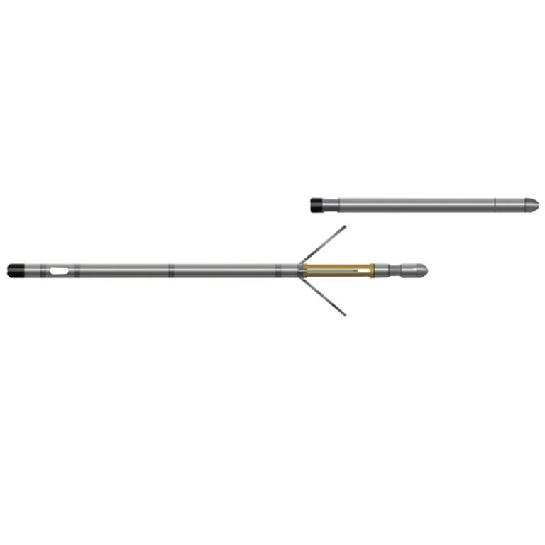
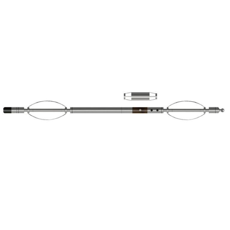
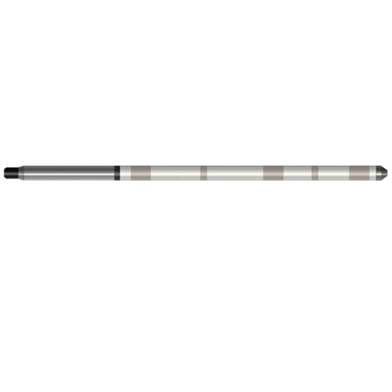
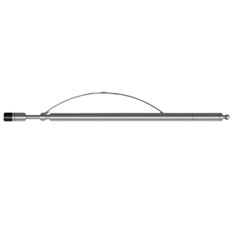
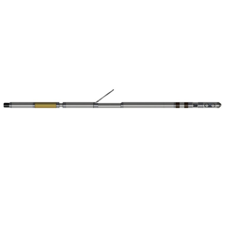
JDX-2Dr Electrical Resistivity Probe

PRODUCT PARAMETERS
Description
 Abstract
JDX-2Dr Electrical Resistivity Probe is a classic combination probe that can measure parameters such as gradient resistivity, potential resistivity and natural potential through different electrode layout methods. Through interpretation, information such as formation permeability, porosity, water quality, and formation interface can be obtained.

Applicable Conditions
● Bare hole
● Fill with water or mud
Applications
● Pumping test calculation
● Identify aquifer locations
● Verify penetration zone
● Casing Leak Detection
Features
● The probe digitizes the measured formation information and transmits it to the surface in encoding, avoiding the influence of cables on the measured data.
● Constant power and adaptive measurement, no manual operation is required.
Specifications
| Instrument power supply | DC 200V ± 20%, current ≤ 40mA |
| Electrode arrangement | N 0,6 M21,3 M10,3A |
| Natural gamma detector | Nal crystal |
| Measuring range | Apparent resistivity: 1~4000Ωm (customized up to 10000Ωm) Natural potential: ±1200m V Natural gamma: 0~32768cps |
| Measurement accuracy | 2% (10~4000Ωm) or ±1Ωm |
| Signal output | Bipolar encoding |
FAQ
In gravity exploration (SI), what is the unit of gravity? How to convert gravity units between SI and CGS?
What are gravitational field and gravitational potential?
What is the normal gravity field of the earth? What are the rules for the change of the normal gravity field with latitude and altitude?
What is the relationship between gravitational field strength and gravitational acceleration?
What is gravity exploration?