Welcome to Geotech!

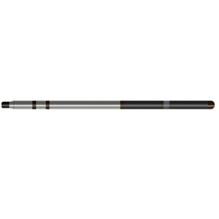
JFS-2 Probe
PRODUCT PARAMETERS
Description
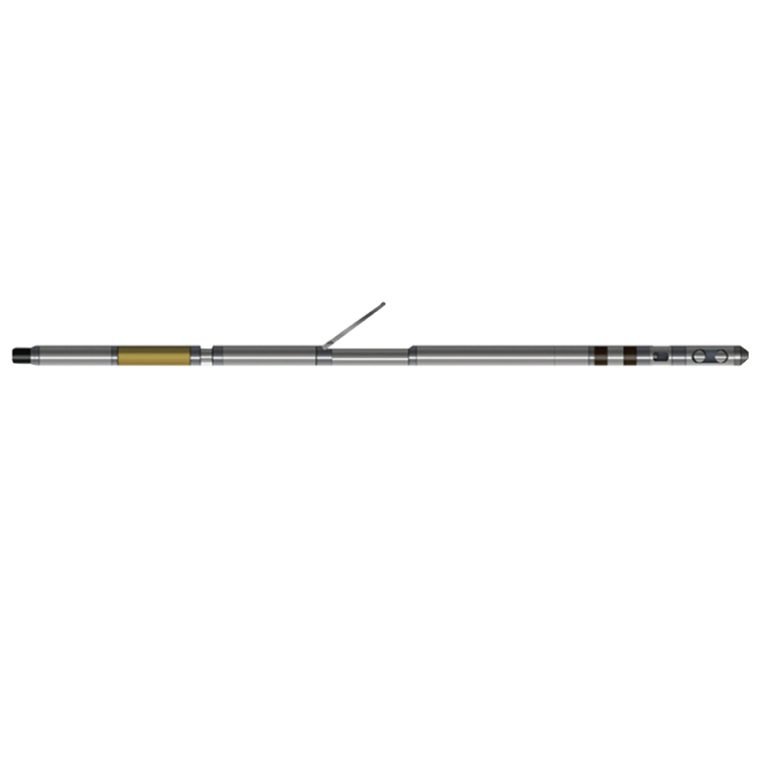
JFS-2 Casing Collar Locator & Natural Gamma Probe
 Abstract
JFS-2 Casing Collar Locator & Natural Gamma Probe is composed of a Nal body and a photomultiplier tube to form a natural gamma ray detector, which measures the total amount of natural gamma rays; at the same time, the instrument is also combined with a magnetic positioning detector to detect and locate the distribution of magnetic pipe strings (casing, downhole tools, flower pipes, screens, collars, packers, etc.) at depth. It can also be used in various production wells, cementing, perforating, well repair, casing corrosion monitoring and other occasions.

Applicable Conditions
● Borehole with case
● Bare hole fill with water or mud
● Bare Dry hole
Applications
● Casing coupling locator
● Divide stratigraphic interfaces and determine changes in stratigraphic facies
● Determine fine-grained/coarse-grained change sequence
● Determine the location and thickness of aquifers
● Estimate uranium concentration
Features
● Downhole measurement, signal amplification, and digitization
● High reliability, high measurement accuracy, and easy to use
Specifications
| Gamma ray detection sensor | Nal crystal + photomultiplier tube |
| Gamma ray detection and counting range | 0~65000cps, accuracy: 5%F.S |
| Gamma ray detection energy threshold | >0.06MeV |
| Magnetic positioning sensor | 65mm electromagnetic sensor |
| Magnetic positioning measurement range | ±2500mV |
| Applicable well diameter | Φ50~Φ150mm |
| Output signal | Bipolar encoding |
FAQ
In gravity exploration (SI), what is the unit of gravity? How to convert gravity units between SI and CGS?
What are gravitational field and gravitational potential?
What is the normal gravity field of the earth? What are the rules for the change of the normal gravity field with latitude and altitude?
What is the relationship between gravitational field strength and gravitational acceleration?
What is gravity exploration?