Welcome to Geotech!

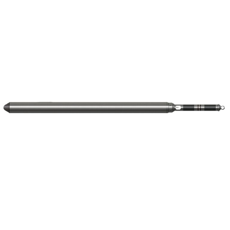
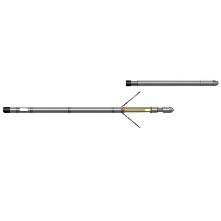
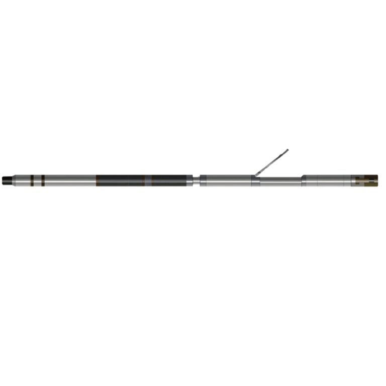
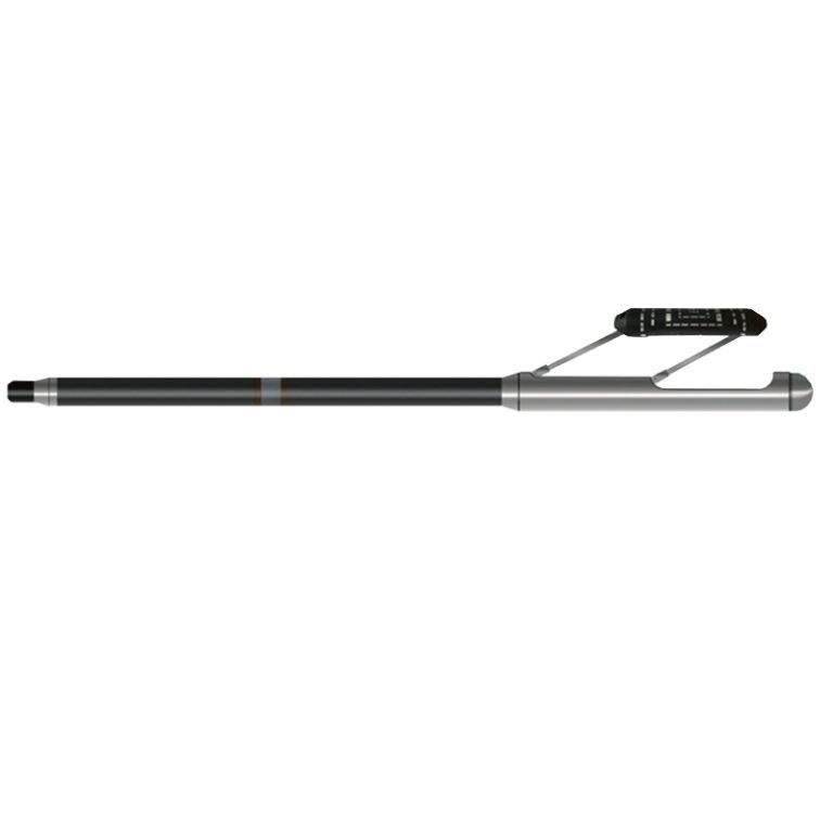
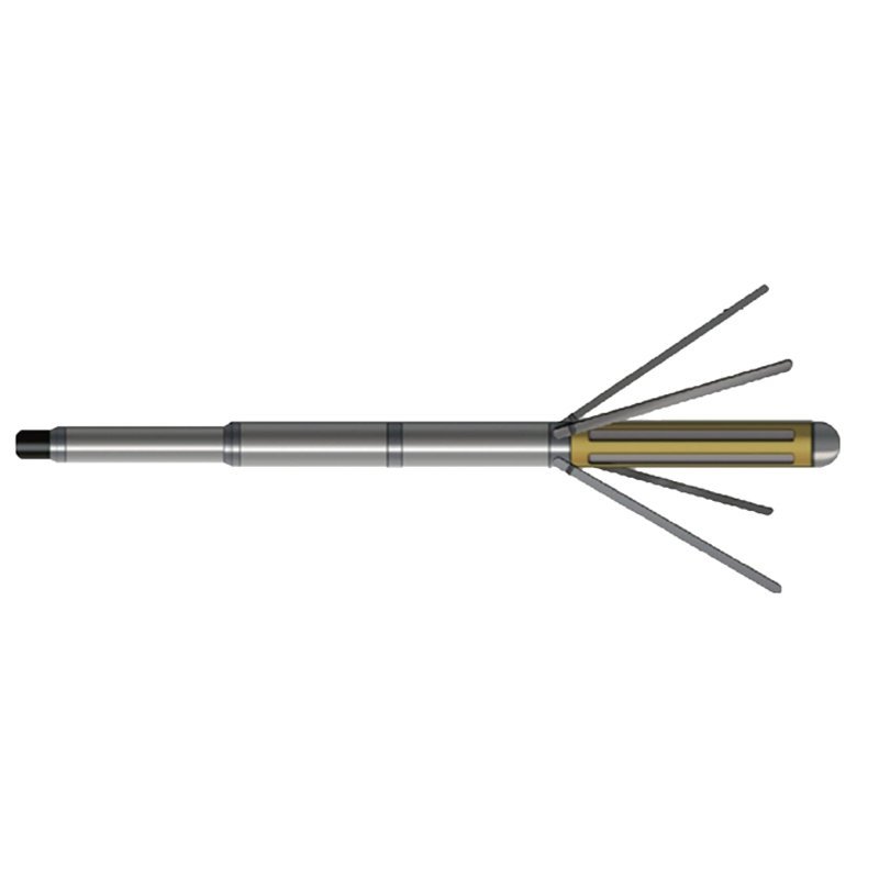
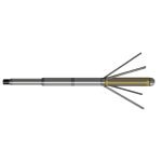
JJY-2D Borehole Geometry Probe
PRODUCT PARAMETERS
Description
 Abstract
JJY-2D Borehole Geometry Probe is a mechanical four-arm contact caliper. The four-way dynamic seal piston of the instrument is connected to a zero temperature drift linear sensor, which converts the borehole diameter change into a digital quantity and then transmits it to the ground through encoding. The measurement data in two directions are used to conduct formation information research and formation stress analysis.
Applicable Conditions
● Bare hole fill with water or mud
● Bare Dry hole
Applications
● Locating cracks, caves and casing defects
● Diameter measurement and rock formation stress analysis in two directions
● Rock formation integrity evaluation
● Drilling diameter measurement and correction calculation in conjunction with other well logging
Features
● Send instructions from the ground and execute them from the motor.
● Easy to use, high measurement accuracy (well diameter signal has 12-bit resolution), high reliability
Specifications
| Well diameter measurement method | Four-arm well diameter |
| Well diameter measurement range | Φ60~600 mm |
| Measurement error | 1.5% F.S |
| Well diameter leg opening method | Ground command control, Motor executes retraction and retraction |
| Signal output | Bipolar encoding |
FAQ
In gravity exploration (SI), what is the unit of gravity? How to convert gravity units between SI and CGS?
What are gravitational field and gravitational potential?
What is the normal gravity field of the earth? What are the rules for the change of the normal gravity field with latitude and altitude?
What is the relationship between gravitational field strength and gravitational acceleration?
What is gravity exploration?