Welcome to Geotech!

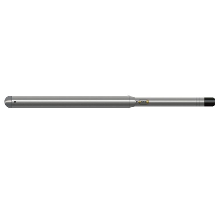
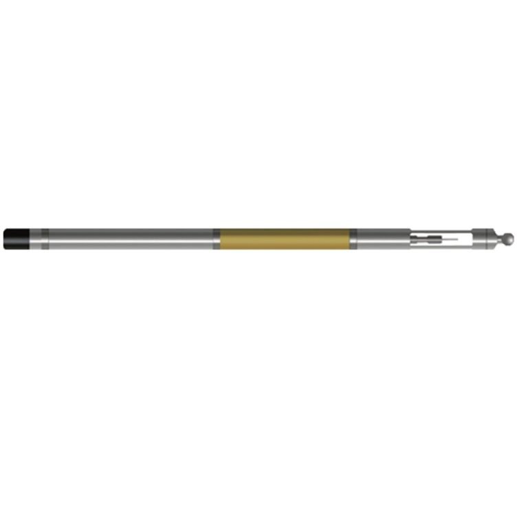
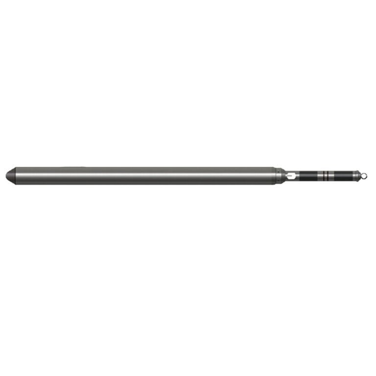
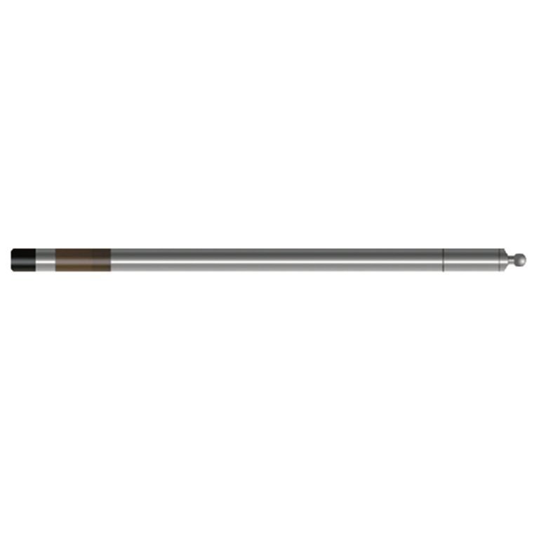
JTL-3019 FOG Inclinometer Probe

PRODUCT PARAMETERS
Description
 Abstract
JTL-3019 FOG Inclinometer Probe is a highly sensitive sensor that can sense the rotation speed of the earth. It does not need to be calibrated on the ground when in use. It can find the north autonomously, and the azimuth value obtained is the true north azimuth of the borehole inclination. It is very convenient to use. Although it is more expensive, it has many advantages such as high accuracy, small size, light weight, small zero drift, long life, and easy maintenance.

Applicable Conditions
● Cased
● Bare hole fill with water or mud
● Bare Dry hole
Applications
● In casing, in drill pipe, in iron ore area geological drilling inclination measurement
● Target shooting position drilling construction, directional well, horizontal radial hole construction
● Coal, gas, nuclear, hydrology and other guidance drilling or detection of drilling quality
● Pile foundation engineering detection of water conservancy and hydropower, highway bridges, large buildings, etc.
Features
● The fiber optic gyroscope is used to measure the azimuth, which is not affected by the geomagnetic field and has a wide range of applications.
● The self-seeking north working mode is designed, and there is no need to calibrate the north and north direction before measurement, and the azimuth has no time drift.
● The three-dimensional high-precision gravity acceleration sensor is used to measure the top angle. High accuracy, good reliability, and stable performance.
Specifications
| Vertex angle measurement range | 0°~50°,Measurement accuracy: ±0.1°; Resolution: 0.01° |
| Azimuth measurement range | 0°~360°Measurement accuracy: When the vertex angle is greater than 1°,Better than ±2° (latitude 0°~±45°) |
| Measurement method | Spot measurement (recommended) |
| North seeking time | ≤2 minutes |
| Signal output | Bipolar encoding |
FAQ
In gravity exploration (SI), what is the unit of gravity? How to convert gravity units between SI and CGS?
What are gravitational field and gravitational potential?
What is the normal gravity field of the earth? What are the rules for the change of the normal gravity field with latitude and altitude?
What is the relationship between gravitational field strength and gravitational acceleration?
What is gravity exploration?