Welcome to Geotech!

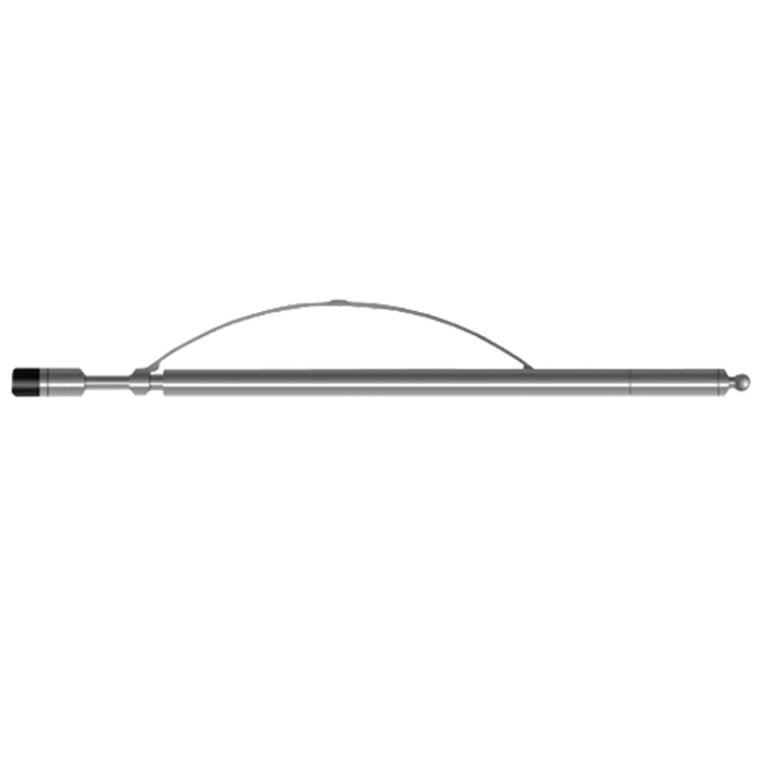
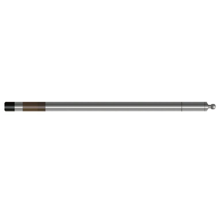
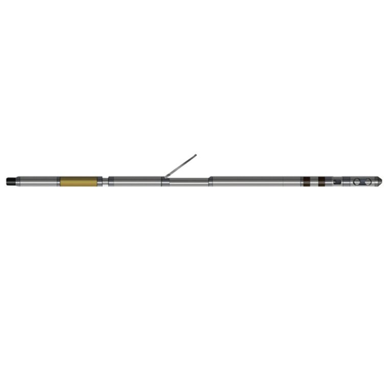
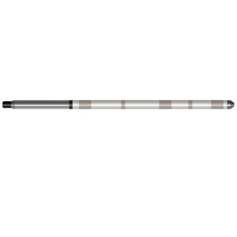
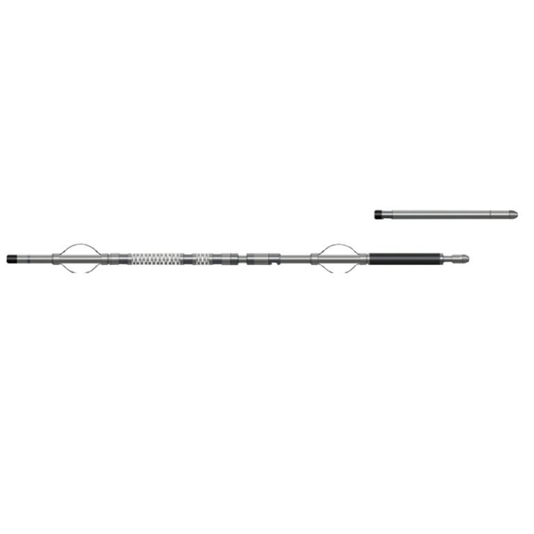
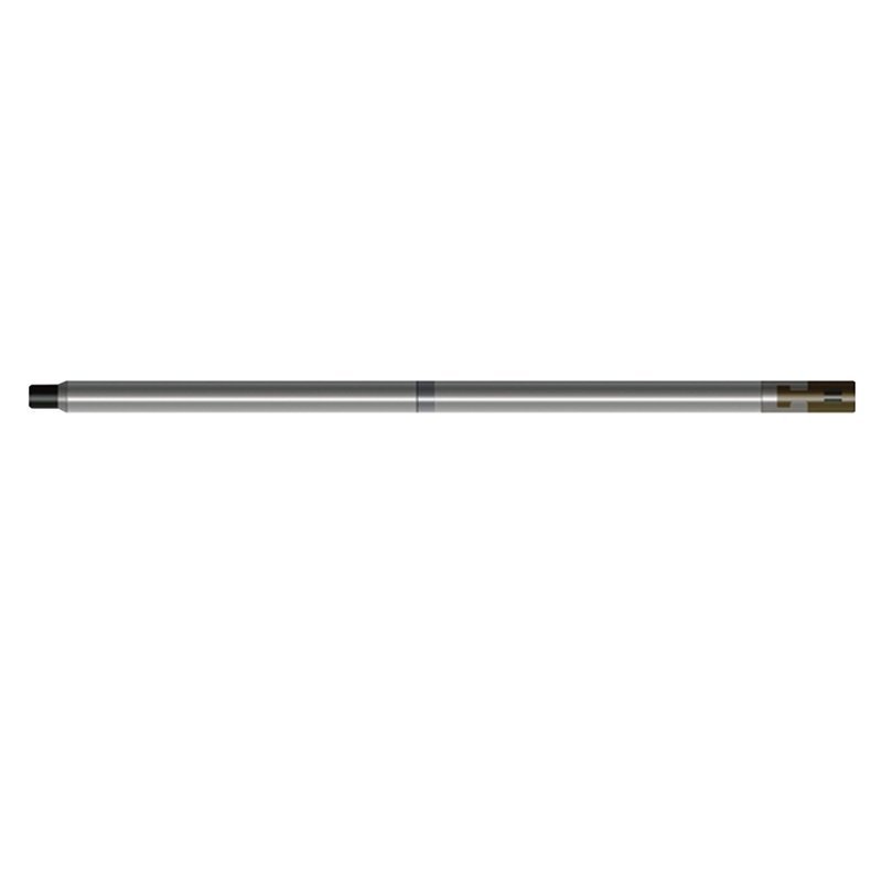
LDP-1 Litho Density Probe
PRODUCT PARAMETERS
Description
 Abstract
LDP-1 Litho Density Probe is an improvement and extension of density logging. In addition to recording the density of rocks, it also measures the photoelectric absorption cross-section index Pe of the formation, which is related to the lithology. During logging, the instrument records the higher energy part and the lower energy part of the scattered y-ray respectively. The intensity of the scattered y-ray in the high energy part depends on the density; the low energy part is mainly related to the lithology and also to the density, and pe can be obtained after processing.

Applicable Conditions
● Case
● Bare hole fill with water or mud
● Bare Dry hole
Applications
● Evaluation of complex rocky oil -containing gas layers
● Identification of rocky and clay type
● Quantitative calculation of the original strata density
● Research phase change and deposition environment
● Measuring strata porosity degree
Features
● Small diameter and lightweight instrument, suitable for use in small borehole drilling.
● Spectrum stabilization is achieved by real-time temperature compensation and monitoring the count rate of the high energy peak symmetry channel, and the analysis is achieved by linear matrix least squares method
● The method of simultaneous measurement of long and short source distance detectors can compensate for unfavorable factors such as mud cake.
Specifications
| Natural gamma detector | NAL crystal+photoelectric pipe |
| Radiation source | CS137, 3700MBq |
| Quantitative parameters and range | Natural Gamma: 1 ~ 32768cps, Sccuracy: 5%F.S; Density 1.3 ~ 3.0g/cm3, Accuracy: ± 0.025g/cm3; Pe: 0 ~ 20, Pe: ± 0.2B/e (1.3 ~ 6B/e) |
| Signal output | Bipolar encoding |
FAQ
In gravity exploration (SI), what is the unit of gravity? How to convert gravity units between SI and CGS?
What are gravitational field and gravitational potential?
What is the normal gravity field of the earth? What are the rules for the change of the normal gravity field with latitude and altitude?
What is the relationship between gravitational field strength and gravitational acceleration?
What is gravity exploration?