Welcome to Geotech!

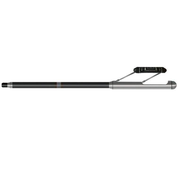
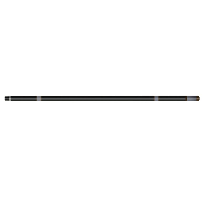
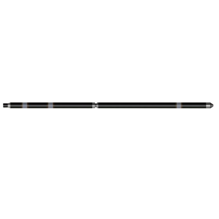
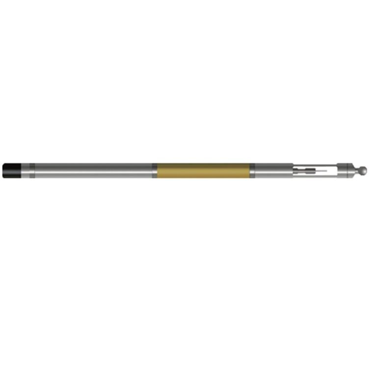
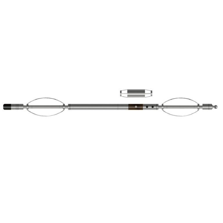
JKH-1 Dual Induction Probe
PRODUCT PARAMETERS
Description
 Abstract
JKH-1 Dual Induction Probe can provide two conductivity logging curves at the same time, corresponding to the formation conductivity curves within the “middle” and “deep” radius of the borehole. In formations with good permeability, after the well fluid replaces the in-situ fluid of the formation, an invasion layer with different electrical parameters will be formed, and formation mineralization logging is particularly effective.
The probe has high stability and an extremely wide dynamic range, and performs accurate conductivity measurements in sand-clay layers and highly mineralized diffuse sand formations. Unlike other resistivity probes, induction logging probes can be used in dry holes and non-metallic cased wells.

Applicable Conditions
● Bare Dry hole
● Non-metallic Cased
Applications
● Evaluate the penetration rate and pore degree of the strata
● Evaluate the mineralization of ground water
● Long -term monitoring of oil wells
● Mine -layer recognition
Features
● The microcontroller (MCU) automatically compensates according to temperature changes.
● High stability and extremely wide dynamic range.
Specifications
| Work frequency | ~ 40Hz |
| Visual guide rate | 3 ~ 2000ms/m |
| Precision | <3% F.S. |
| Stability | <0.5ms/10 ℃ |
| Ground current | 0 ~ 120mA |
| Signal output | Bipolar encoding |
FAQ
In gravity exploration (SI), what is the unit of gravity? How to convert gravity units between SI and CGS?
What are gravitational field and gravitational potential?
What is the normal gravity field of the earth? What are the rules for the change of the normal gravity field with latitude and altitude?
What is the relationship between gravitational field strength and gravitational acceleration?
What is gravity exploration?