Welcome to Geotech!

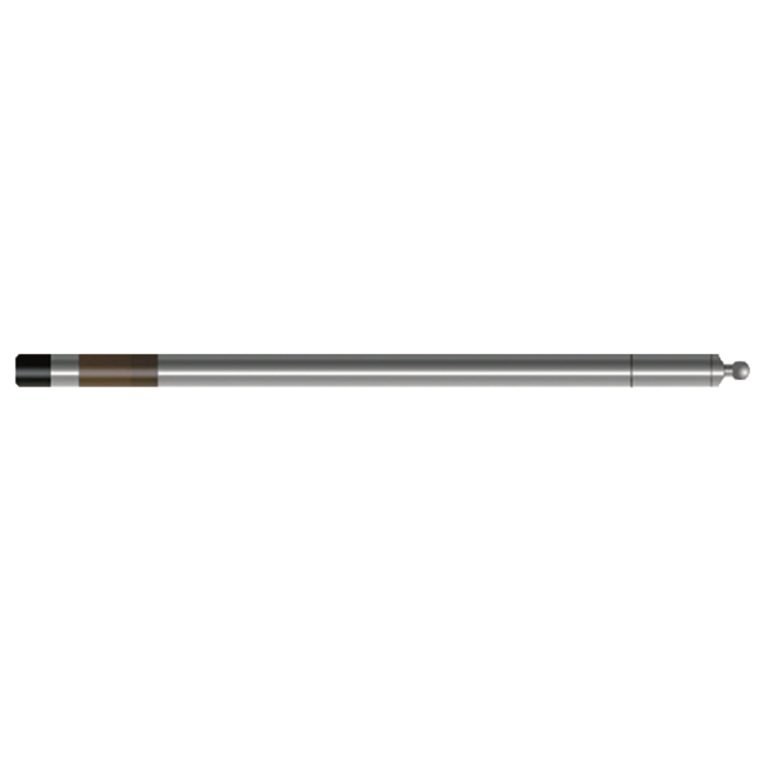
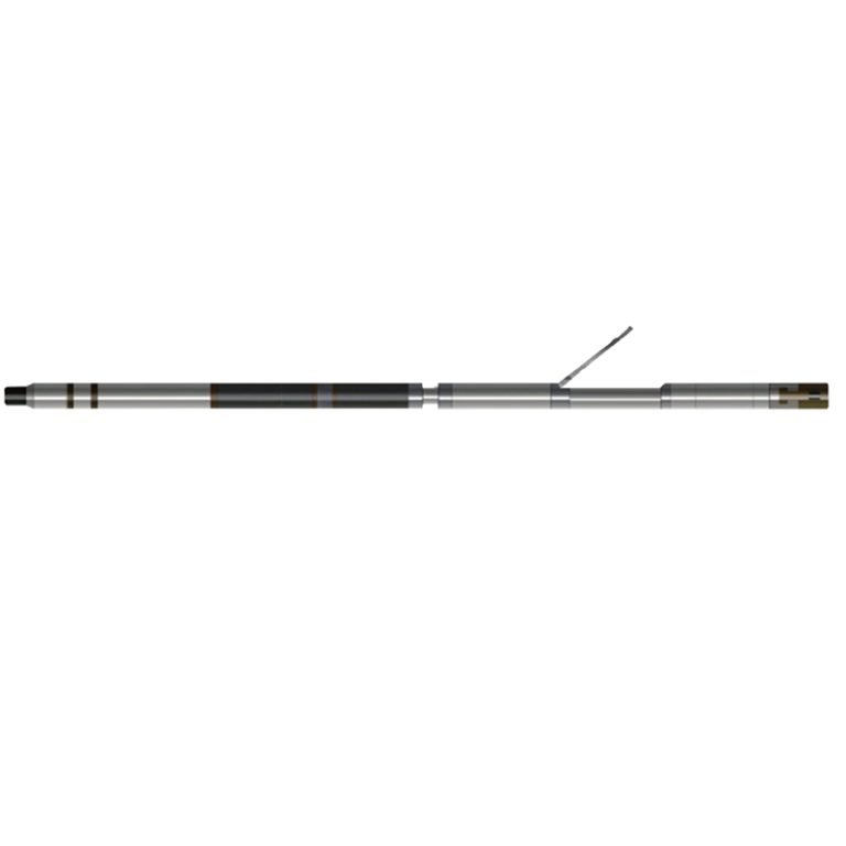
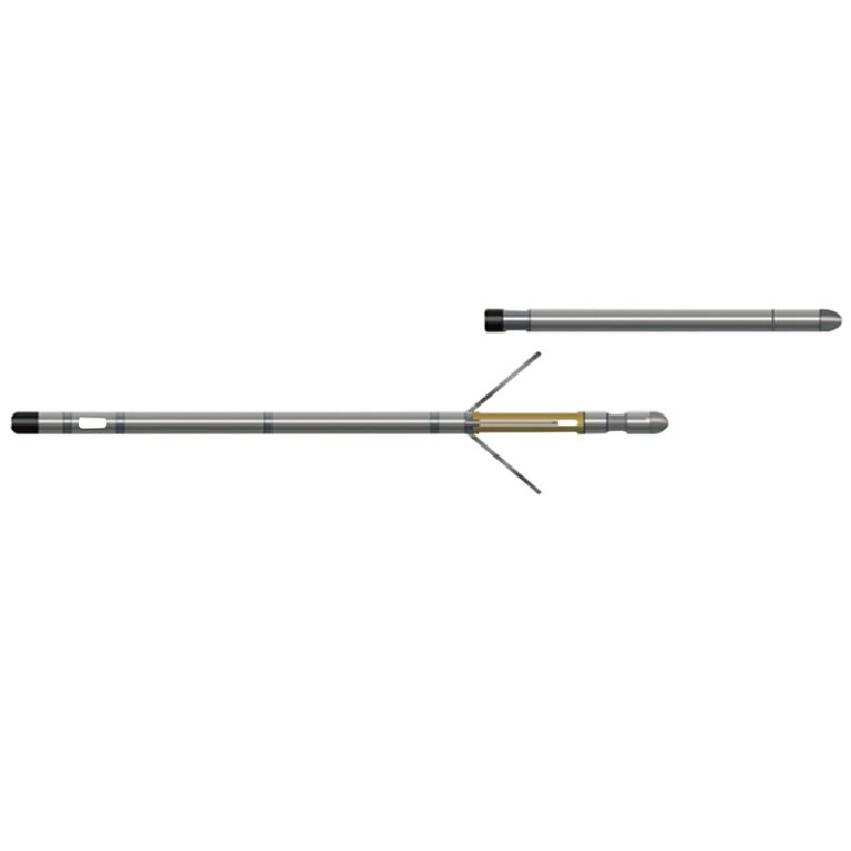
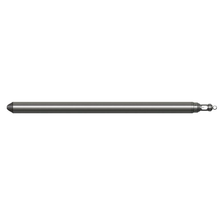
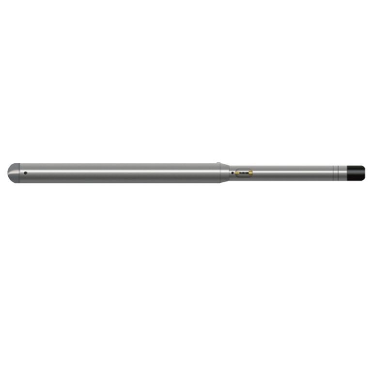
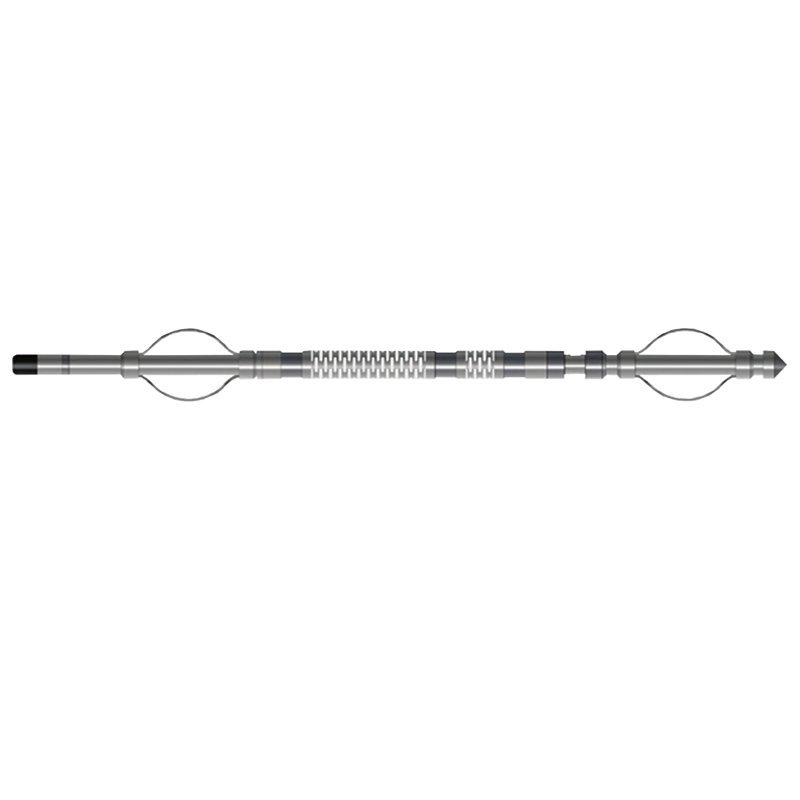
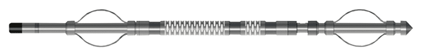
JSS-2 Compensated Sonic Probe
PRODUCT PARAMETERS
Description
 Abstract
Sonic and ultrasonic exploration methods are the fastest growing, most widely used, and most theoretically sound methods in geophysical technology. Sonic logging measures the acoustic characteristics of rock formations along the borehole profile, that is, the propagation and attenuation laws of ultrasound in rocks, so as to understand the properties of rock formations and walls and determine the lithology. JSS-2 Compensated Sonic Probe uses ultrasonic ceramic elements as transmitting and receiving transducers, and is suitable for use in boreholes of 90~Ф150mm.
Applicable Conditions
● Bare hole
● Fill with water or mud
Applications
● Cased Hole Evaluation: Cement Bond Index Logging (CBL)
● Identify lithology and evaluate porosity and permeability
● Evaluation of rock formation fragmentation, rock strength and elasticity
● Calculate rock mechanical properties: elastic modulus, Poisson’s ratio, shear modulus, Young’s modulus, volume elasticity
● Modulus and compression coefficient
Features
● It uses a non-directional transmission and reception method. It uses a single-transmitter and dual-receiver device to reduce the impact of factors such as well diameter.
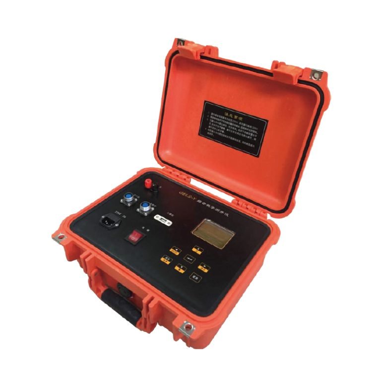
● Send instructions from the ground and execute them from the motor.
Specifications
| Sound system | Non-directional one-shot and two-shot, Source distance 0.5M, Spacing 0.2m |
| Emitting transducer | P-42 ceramic, Receiving transducer: P-51 ceramic |
| Sound speed measurement range | 125μs/m~555μs/m, Measurement accuracy: 5μs/m |
| Time base | 0.5μs, Time base stability: 0.1PPm |
| Sound amplitude measurement range | 0~2000mV (JSS-3),Measurement accuracy: 2% (JSS-3) |
| Signal output | Bipolar encoding |
FAQ
In gravity exploration (SI), what is the unit of gravity? How to convert gravity units between SI and CGS?
What are gravitational field and gravitational potential?
What is the normal gravity field of the earth? What are the rules for the change of the normal gravity field with latitude and altitude?
What is the relationship between gravitational field strength and gravitational acceleration?
What is gravity exploration?