Welcome to Geotech!

Magnetic Solution:Iron Ore and Magnetic Mineral Exploration Solution
Description
Iron Ore and Magnetic Mineral Exploration Solution
I. Solution Overview
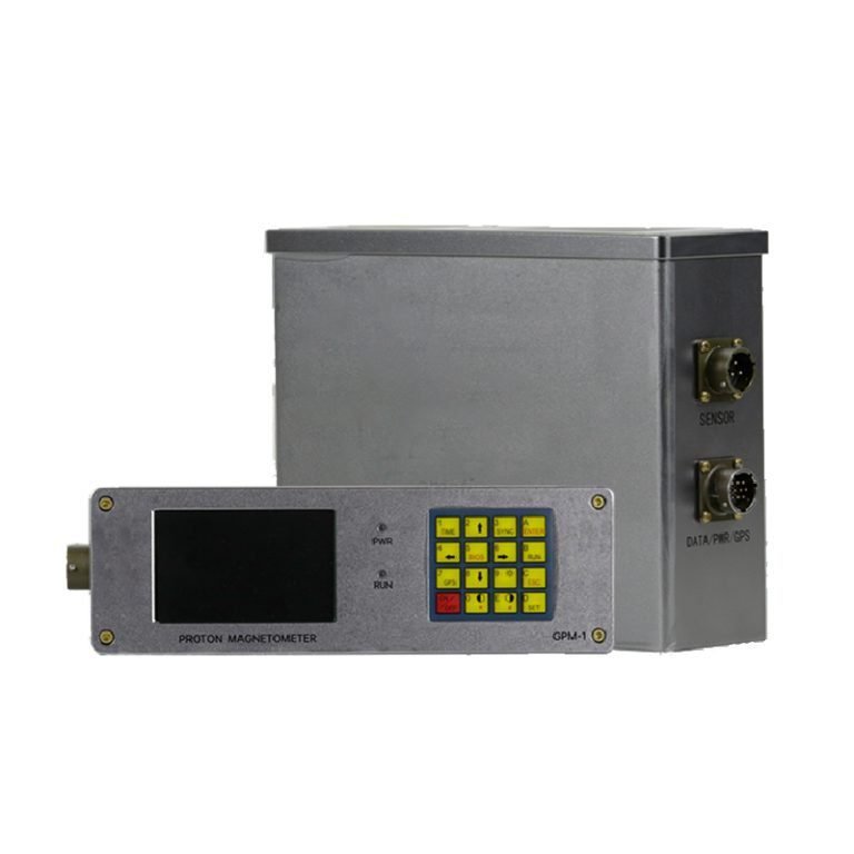
This solution leverages the high-precision, multi-mode detection capabilities of Geotech’s next-generation proton magnetometer (JPMG) to address the exploration needs of iron ore and other magnetic minerals (e.g., magnetite, ilmenite, nickel ore). By detecting magnetic anomalies, analyzing gradients, and modeling data, it enables precise ore body localization, scale assessment, and geological structure interpretation, enhancing exploration efficiency.
II. Core Equipment Advantages
- Ultra-High Precision and Sensitivity
- Sensitivity: 0.05nT, capable of detecting subtle magnetic anomalies (iron ore bodies typically induce field variations of hundreds to thousands of nT).
- Absolute Accuracy: ±0.1nT, ensuring data reliability.
- Dynamic Range (20,000–120,000nT), suitable for detecting strongly magnetic ore bodies.
- Multi-Scenario Operation Modes
- Mobile Mode (3–60s/sample): Rapidly scans large areas to preliminarily identify anomaly zones.
- Walking Mode: Continuously collects profile data to generate high-resolution magnetic profiles for precise ore boundary delineation.
- Base Station Mode (3–3600s/sample): Monitors background field variations over time, eliminating diurnal interference, ideal for deep ore body detection.
- Gradient Detection Capability
- Supports horizontal/vertical gradient measurements (requires optional probes and holders) to identify ore boundaries and orientations (e.g., strike and dip of iron veins).
- Efficient Data Integration
- 32MB internal memory stores 209,715 manual-mode or 699,050 base-mode data points.
- Professional geological software generates contour maps, profile maps, and integrates GPS coordinates to build 3D ore models.
III. Iron Ore Detection Workflow
- Pre-Survey Preparation
- Regional Analysis: Define target areas using geological maps and aeromagnetic data.
- Equipment Setup:
- Standard GPS module (supports multi-satellite navigation; <30ms positioning accuracy).
- Optional gradient probes for boundary analysis.
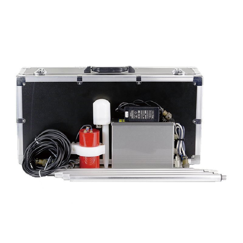
- Extendable aluminum rods (4×50cm included) adjust sensor height to reduce ground interference.
- Data Acquisition
- Base Station Mode: Deploy in low-interference areas to synchronize background field data.
- Mobile Mode: Use vehicles or drones for rapid coverage of survey areas to identify high-anomaly zones.
- Walking Mode: Perform grid measurements (10–50m line spacing, 5–20m point spacing) in anomaly zones for high-resolution data.
- Gradient Measurement: Deploy dual probes at ore boundaries to calculate gradients and determine ore extension directions.
- Data Processing & Analysis
- Diurnal Correction: Use base station data to remove daily geomagnetic variations.
- Anomaly Extraction: Apply filters (e.g., upward continuation, derivative calculations) to isolate ore-related anomalies.
- Inversion Modeling: Integrate susceptibility parameters to invert ore body depth, size, and morphology (e.g., layered iron ore or massive magnetite).
IV. Typical Application Scenarios
- Shallow Iron Ore Detection
- Walking mode + gradient measurements quickly delineate surface outcrops and shallow deposits.
- Example: A magnetite survey with 5m×5m grid measurements identified >2000nT anomalies, later confirmed by drilling as a 10m-thick magnetite layer.
- Deep Ore Body Exploration
- Combine base station and mobile modes with low-pass filtering to detect concealed deposits (e.g., >500m depth).
- Complex Geological Structure Analysis
- Gradient data aids in identifying fault/fold controls on ore distribution (e.g., magnetite enrichment near fault zones).
V. Configuration & Recommendations
| Core Components | Function |
|---|---|
| JPMG Console + Sensor | Core detection unit, supports all modes |
| Standard GPS Module | Precise positioning and time synchronization |
| Gradient Probe Kit | Boundary and orientation analysis |
| 50cm Aluminum Rods ×4 | Adjust sensor elevation |
Optional Add-ons:
- Extension cables (for complex terrain)
- Additional sensors (multi-probe gradient surveys)
- Geological software (3D modeling and inversion)
VI. Technical Support & Services
- Field Adaptability
- Hard aluminum alloy shell + IP67 rating, operable in -40℃ to 55℃ extremes (deserts, alpine zones).
- Gradient tolerance >5000nT/m, suitable for strong magnetic environments.
- Data Reliability
- Built-in OCXO ensures measurement stability.
- Real-time signal quality monitoring flags anomalies.
- After-Sales Service
- Free training (software and operation).
- 24/7 remote support, 48-hour emergency response.
VII. Deliverables
- Magnetic anomaly contour maps (target zone delineation)
- Magnetic gradient profiles (boundary analysis)
- 3D susceptibility models (resource estimation)
- Exploration report (with drilling recommendations)
Expected Outcomes:
- 30%+ improvement in exploration efficiency vs. traditional methods.
- 20% reduction in exploration costs.
This solution ensures rapid, accurate, and cost-effective exploration of iron ore and magnetic minerals, tailored for diverse geological challenges.
FAQ
What is the main difference between a single tap and a double tap?
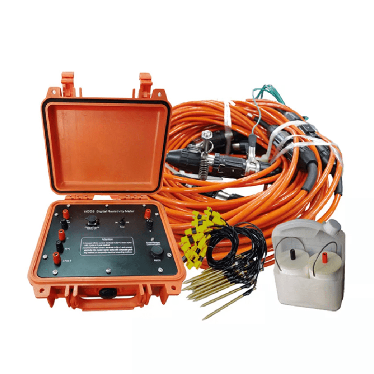
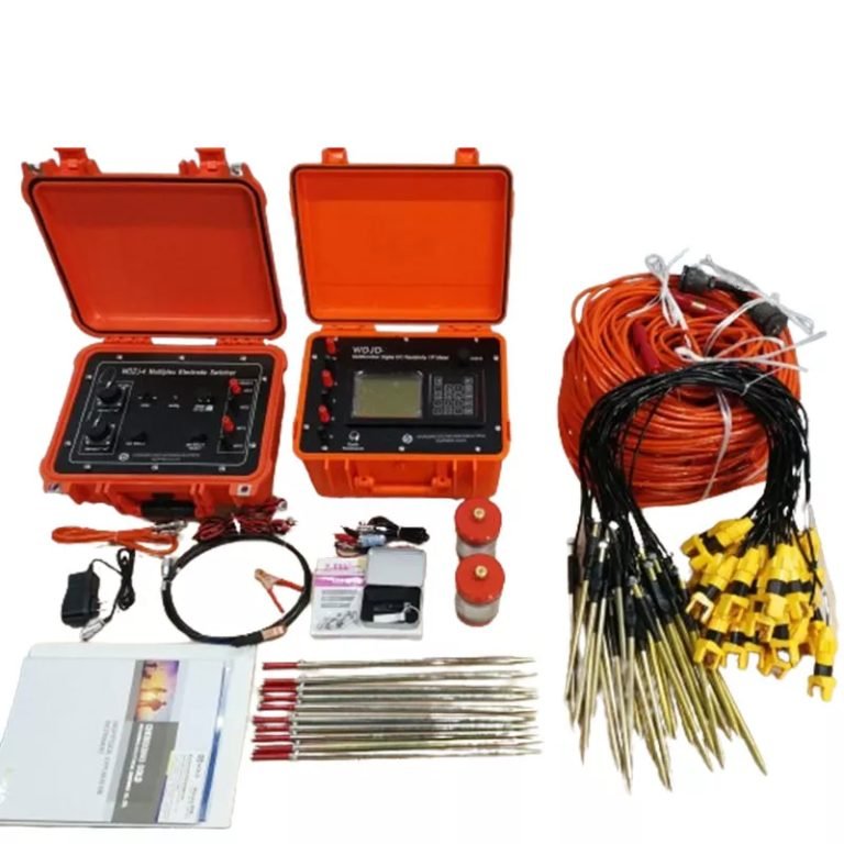
What is the principle of high-density electrical prospecting?
What are the advantages of high-density electrical method?
In what fields is the high-density electrical method generally used?
What are the application characteristics of high-density electrical method?