Welcome to Geotech!

What is a Contact Resistance Meter? | Precision Testing & Geotech Solutions
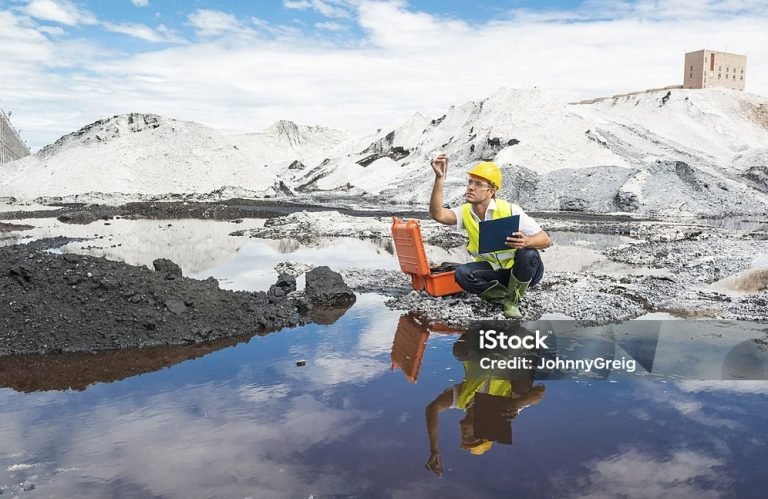
I. Introduction
Subsurface imaging systems are revolutionizing the way we explore and understand the underground world. These advanced systems utilize a variety of technologies, including acoustic, electromagnetic, and optical methods, to create detailed images of subsurface structures. This article explores the principles, applications, and advantages of subsurface imaging systems, providing a comprehensive guide for professionals and decision-makers。
II. Key Methods of Subsurface Imaging
(1) Acoustic Methods
Acoustic methods, such as SONAR (Sound Investigation and Ranging) and UDT (Ultrasonic Diffraction Tomography), use sound waves to image subsurface objects. These methods are particularly effective in aquatic environments and for detecting structures at shallow depths。
(2) Electromagnetic Methods
Electromagnetic methods, including RADAR (Radio Detection and Ranging), GPR (Ground Penetrating Radar), and MRI (Magnetic Resonance Imaging), leverage electromagnetic waves to penetrate and image subsurface materials. These techniques are widely used in geophysical exploration and environmental monitoring。
(3) Optical Methods
Optical methods, such as LSCM (Laser Scanning Confocal Microscopy), OCT (Optical Coherence Tomography), and DOT (Diffuse Optical Tomography), use light waves to image subsurface structures. These methods are particularly useful in medical and biological applications.
III. Applications of Subsurface Imaging Systems
Subsurface imaging systems find applications across a diverse range of industries:
- Geological Exploration: Identifying subsurface structures, aquifers, and mineral deposits.
- Environmental Monitoring: Assessing groundwater contamination and monitoring remediation efforts.
- Medical Imaging: Detecting and analyzing subsurface tissues for diagnostic purposes.
- Security and Defense: Detecting landmines and other hidden threats.
- Construction: Evaluating subsurface conditions for infrastructure projects.
IV. Comparison with Other Geophysical Methods
(1) Comparison with Traditional Seismic Methods
- Advantages: Subsurface imaging systems offer higher resolution and can image a wider range of materials.
- Limitations: They may require more complex equipment and data processing.
- Best Application Scenarios: Ideal for detailed geological surveys and environmental monitoring.
(2) Comparison with Ground Penetrating Radar
- Advantages: Subsurface imaging systems can provide multi-sensor data integration for comprehensive analysis.
- Limitations: They may not be as effective in certain geological conditions.
- Best Application Scenarios: Suitable for applications requiring detailed subsurface imaging, such as urban infrastructure inspection.
V. Advantages and Limitations of Subsurface Imaging Systems
(1) Advantages
- High Resolution: Provides detailed images of subsurface structures.
- Versatility: Suitable for a wide range of applications across different industries.
- Non-Invasive: Many methods are non-destructive, making them environmentally friendly.
- Data Integration: Capable of integrating data from multiple sensors for enhanced analysis.
(2) Limitations
- Cost: High-precision systems can be expensive.
- Complexity: Requires specialized knowledge and experience for proper operation and result interpretation.
- Environmental Sensitivity: Measurements can be affected by temperature and humidity, necessitating controlled conditions for optimal accuracy.
VI. Case Studies
(1) Case Study 1: Geological Exploration in Mining
A mining company used subsurface imaging systems to map subsurface geological structures. By applying advanced imaging techniques, they successfully identified potential mineral deposits and aquifers, optimizing their exploration efforts and reducing drilling costs.
(2) Case Study 2: Medical Imaging for Breast Cancer Detection
A medical research team implemented subsurface imaging systems to detect breast cancer. The systems provided high-resolution images of subsurface tissues, aiding in the early detection and treatment of cancer.
VII. Company Product Introduction
As a leading manufacturer of precision measurement instruments, we offer a range of high-performance subsurface imaging systems designed to meet the demands of various industries. Our products combine advanced technology with user-friendly features to provide reliable and accurate measurements.
(1) Product Features
- High-Precision Measurement: Utilizing advanced electronics and algorithms for precise imaging.
- Multiple Measurement Modes: Support for acoustic, electromagnetic, and optical methods to suit different applications.
- Rugged Design: Built to withstand harsh environmental conditions, ensuring long-term reliability.
- Data Management: Integrated data logging and export capabilities for comprehensive analysis.
(2) Success Cases
Our subsurface imaging systems have been successfully deployed in numerous projects worldwide. In a mining exploration project, our systems provided critical data that led to the discovery of a significant mineral deposit. In a medical imaging project, our systems helped improve the early detection of breast cancer, supporting better patient outcomes.
VIII. Future Outlook
The future of subsurface imaging systems looks promising with advancements in sensor technology, data analysis, and environmental monitoring. Integration with IoT and AI will enhance real-time monitoring capabilities, while improved portability and ease of use will expand their application scope.
IX. Conclusion
Subsurface imaging systems are indispensable tools for ensuring the quality and safety of geological surveys and environmental monitoring. Their precision and versatility make them valuable assets in industries ranging from mining to healthcare. By choosing our subsurface imaging systems, you invest in a technology that delivers accuracy and reliability, supporting your operational excellence and sustainability goals.
Reference
- Society of Exploration Geophysicists (SEG) https://seg.org/
- Society of Environmental and Engineering Geophysicists (EEGS) https://www.eegs.org/
- Geology and Equipment Branch of China Mining Association http://www.chinamining.org.cn/
- International Union of Geological Sciences (IUGS) http://www.iugs.org/
- European Geological Survey Union (Eurogeosurveys) https://www.eurogeosurveys.org/