Welcome to Geotech!

Application of Proton magnetometer enables high-precision solution for Xichang iron ore exploration
Description
Application of Proton magnetometer enables high-precision solution for Xichang iron ore exploration
In the realm of resource exploration, precise and efficient detection technologies are vital drivers of industry advancement. The Xichang area, with its intricate geological structures and abundant mineral resources, has become a focal point for geological exploration. This article delves into the exceptional performance of the JPMG proton magnetometer in iron ore prospecting in Xichang, revealing how it aids geologists in surmounting exploration challenges and boosting prospecting efficiency.
Challenges and Demands of Iron Ore Prospecting in Xichang
Located in the northwest of the Yunnan – Guizhou Plateau, Xichang features complex geological conditions. The primary ore – bearing layer is a volcaniclastic rock lens. The ore bodies are typically stratiform, sub – stratiform, lenticular, etc., and gradually transition into the surrounding rock. These geological characteristics impose high demands on iron ore prospecting technologies, as conventional medium – or low – precision magnetic survey methods often fall short in providing sufficient magnetic field data for accurate prospecting.

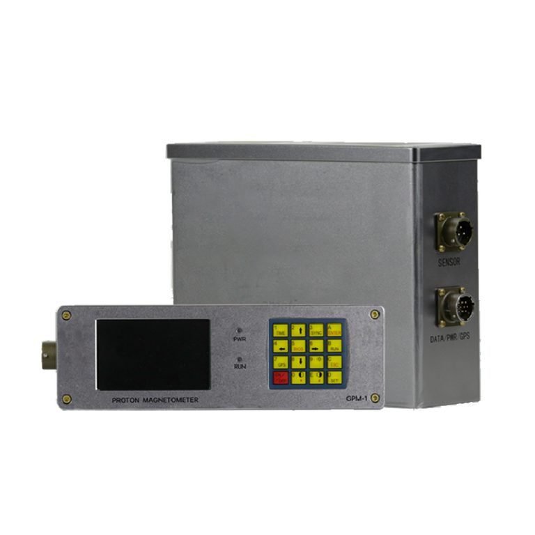
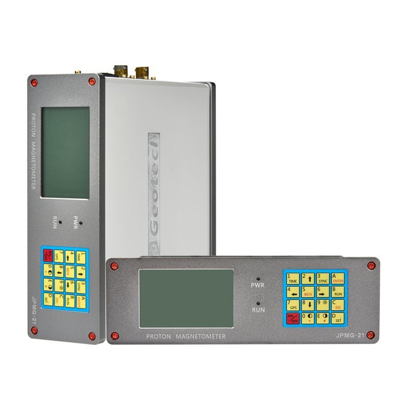
JPMG Proton Magnetometer: A High – Precision Magnetic Survey Tool
The JPMG proton magnetometer, launched by Shenzhen Huafley Technology Co., Ltd., is a high – performance geophysical exploration device with remarkable advantages.
High Precision and Stability
- High – Precision Measurement: Equipped with a high – precision oven – controlled crystal oscillator (OCXO), it ensures a magnetic field measurement accuracy of ±0.1nT and a resolution of 0.01nT, capturing subtle magnetic field variations and offering ample magnetic field data for iron ore prospecting.
- Stable Performance: The built – in high – precision OCXO guarantees stable measurements in harsh field environments, minimizing errors from temperature changes and ensuring data reliability.
Robust Data Acquisition and Processing Capabilities
- Large – Capacity Storage: With 32M of memory, it stores vast measurement data, meeting the needs of extended and large – scale exploration.
- Efficient Data Transmission: Data can be exported to computers or other storage devices via USB or a 10 – pin waterproof RS – 232 serial port, facilitating subsequent data processing and analysis.
- Real – Time Data Display: The host screen displays real – time magnetic field observations, enabling field personnel to instantly view results and make timely adjustments.
Versatile Operating Modes
- Mobile Mode: Suitable for quick scans over large areas with continuous observation profiles.
- Base Station Mode: Conducts diurnal variation observations, providing reference data for mobile measurements to eliminate diurnal interference and enhance accuracy.
- Gradient Mode: Two probes observe simultaneously at controlled intervals, obtaining high – quality gradient values to effectively distinguish magnetic ore bodies of different depths and morphologies.
Application in Xichang Iron Ore Prospecting
Project Overview and Objectives
The Xichang iron ore prospecting project aimed to define anomalous body boundaries and predict magnetic iron ore locations through high – precision magnetic surveys, providing a scientific basis for follow – up exploration and mining.
Survey Network Layout and Data Acquisition
- Survey Network Layout: The geophysical survey was at a scale of 1:5000, with 25 high – precision magnetic survey lines designed. The line spacing was 100m, the point spacing was 20m, and each line was 1.6km long, covering a total area of 4km².
- Point Positioning: Baseline measurement used a lightweight GPS with a positioning accuracy of 4m, ensuring accurate and reliable measurement points.
- Data Acquisition: Using the JPMG proton magnetometer, total field intensity T was observed. Repeat observations were made at anomalies and distorted points. Diurnal variation observation was conducted with the same – type, high – performance instrument on a fixed benchmark, with a sampling time of 20 seconds.
Data Processing and Interpretation
- Data Processing: The collected data underwent professional processing, including correction, filtering, and upward continuation, to eliminate interference and extract useful magnetic field information.
- Result Interpretation: Surfer 8.0 software created contour maps, visually presenting magnetic anomaly distribution. Six magnetic anomalies were identified and evaluated, with M1 – M4 showing large scale and intensity, indicating favorable ore – forming conditions. M1 was likely linked to magnetite.
Value Brought by the JPMG Proton Magnetometer
Improved Prospecting Efficiency
- The JPMG proton magnetometer is portable and easy to operate. It enables rapid large – area magnetic surveys without extra cost or difficulty, enhancing prospecting efficiency and reducing labor intensity.
Enhanced Prospecting Accuracy
- With high – precision magnetic measurement and advanced data processing and interpretation, it accurately defines anomaly boundaries and predicts magnetite locations, offering strong technical support for iron ore prospecting. This significantly improves the accuracy and success rate of prospecting.
Adaptability to Complex Geological Conditions
- Despite Xichang’s complex geology, the JPMG proton magnetometer performs well. Its strong anti – interference and stability ensure reliable data acquisition in mountainous and forested areas, addressing challenges in complex geological exploration.
Strong Data Reliability
- Through diurnal variation observation and synchronized measurements between base and mobile stations, it eliminates diurnal interference, ensuring accurate and reliable data. This provides a solid foundation for subsequent analysis and interpretation, making prospecting results more credible.
Conclusion
The successful application of the JPMG proton magnetometer in the Xichang iron ore prospecting project highlights its advantages in geological exploration. Its high precision and stability have brought unprecedented convenience to iron ore prospecting. As technology advances, the JPMG proton magnetometer will play a more significant role in geological exploration projects, contributing more to mineral resource development and utilization.
FAQ
What is the main difference between a single tap and a double tap?
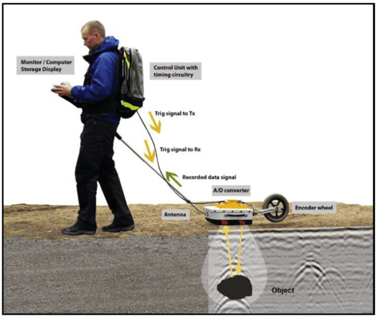
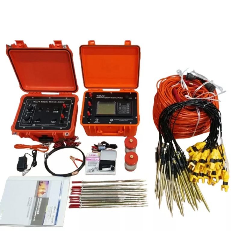
What is the principle of high-density electrical prospecting?
What are the advantages of high-density electrical method?
In what fields is the high-density electrical method generally used?
What are the application characteristics of high-density electrical method?