Welcome to Geotech!

Geomagnetic Surveying: Unlocking the Earth’s Magnetic Field
In the vast field of geophysical exploration, geomagnetic surveying is emerging as a powerful tool for unlocking the mysteries of the Earth’s magnetic field. This article delves into the principles, applications, and latest developments of geomagnetic surveying.
I. Principles and Technology of Geomagnetic Surveying
Geomagnetic surveying measures the Earth’s magnetic field strength and direction to obtain subsurface geological data. The Earth’s magnetic field, generated by the movement of liquid iron in the outer core, creates a complex magnetic distribution near the surface. Geomagnetic instruments like magnetometers detect minute magnetic field variations caused by factors such as subsurface rock magnetism, geological structures, and human activities.
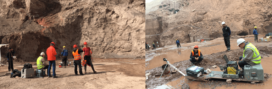
At its core, geomagnetic surveying relies on high – precision magnetometers capable of detecting nanotesla – level variations. Modern systems integrate GPS for accurate data positioning. Additionally, data acquisition systems and specialized processing software are crucial for converting raw data into meaningful geological insights.
II. Applications of Geomagnetic Surveying
Resource Exploration
Geomagnetic surveying is vital for mineral exploration, especially for magnetic ores like iron and magnetite. It quickly locates ore bodies, enhancing exploration efficiency. For example, in iron mining, it identifies magnetic anomalies linked to iron deposits, guiding further exploration.
It also aids in oil and gas exploration by detecting subsurface geological structures like faults and folds. When combined with seismic surveys, it offers comprehensive data for more accurate exploration.
Environmental Monitoring and Archaeological Research
Geomagnetic surveying is valuable for environmental monitoring and archaeological research. It detects pollution – induced soil and groundwater magnetic property changes, aiding in environmental remediation. For instance, it can identify pollution – affected areas by analyzing soil magnetic characteristics.
In archaeology, geomagnetic surveying non – destructively locates ancient buildings, tombs, and sites. By detecting magnetic anomalies, it reveals subsurface site distributions without extensive excavation, preserving cultural heritage while providing valuable research insights.
Geological Disaster Prevention
Geomagnetic surveying helps in geological disaster prevention and monitoring. In volcanology, it tracks magma movements by detecting magnetic field changes, aiding in eruption prediction. In seismology, it monitors crustal stress changes, offering data for earthquake prediction and disaster mitigation.
III. Advantages and Challenges of Geomagnetic Surveying
Advantages
- Non – contact Measurement: As a non – contact geophysical method, it works without surface destruction or drilling, suits various terrains and environments.
- Rapid Large – area Coverage: Magnetometers on planes, ships, or vehicles enable rapid large – area surveys, boosting efficiency.
- Cost – effectiveness: Compared to traditional methods, it offers lower costs and faster geological data acquisition.
Challenges
- Complex Data Interpretation: Geomagnetic data interpretation requires expertise due to the multitude of factors affecting the magnetic field, including geology and human interference.
- Precision Limitations: Despite high – precision magnetometers, complex geological conditions can impact accuracy.
- Numerous Interference Factors: It is prone to interference from human activities and natural elements like solar activity and terrain, necessitating data correction and filtering.
IV. Development Trends in Geomagnetic Surveying Instruments
Advances in technology are driving innovation in geomagnetic surveying instruments. High – precision, portable, and smart devices are becoming mainstream. New – generation magnetometers offer better sensitivity, precision, and real – time data transmission and processing, enhancing efficiency.
The integration of geomagnetic surveying with other geophysical methods is also growing. For example, geomagnetic – seismic joint exploration provides both magnetic and seismic subsurface data for more comprehensive research. This multi – method approach is a key future trend.
On the software front, geomagnetic data processing and interpretation tools are improving. Advanced algorithms and visualization techniques help geologists better identify anomalies, while AI and machine learning are emerging in data analysis, injecting new活力 into the field.
V. Industry Cases and Best Practices
To showcase the applications of geomagnetic surveying, we highlight several industry cases.
Mineral Exploration Case
In an iron矿 exploration project, a team used high – precision magnetometers to survey a large area and identified magnetic anomalies linked to iron deposits. Drilling confirmed rich iron resources, proving the efficiency and accuracy of geomagnetic surveying.
Environmental Monitoring Case
Geomagnetic surveying detected groundwater pollution in a region by revealing magnetic anomalies caused by iron – containing pollutants. It quickly located the pollution source, saving time and costs for remediation.
Archaeological Research Case
At an ancient site, geomagnetic surveying discovered a buried structure. The magnetic anomalies outlined the building’s shape, and subsequent excavation validated the survey results, offering valuable insights into ancient civilizations.
VI. Future Outlook for Geomagnetic Surveying
Looking ahead, geomagnetic surveying will remain crucial in geophysical exploration. Improvements in instrument precision and data processing will provide more accurate geological data. Integration with other technologies will expand its applications, such as urban underground space detection and renewable energy development.
In resource exploration, it will combine with geochemistry and other disciplines to form a more integrated approach, enhancing efficiency and success rates. Its role in environmental monitoring and disaster prevention will also expand, offering stronger technical support for protection and risk reduction.
In summary, geomagnetic surveying is a vital geophysical technique with broad prospects. As technology advances, it will play a bigger role in multiple fields. Geotech Instrument Co., Ltd. offers advanced geomagnetic surveying equipment and support to help your projects succeed.
