Welcome to Geotech!

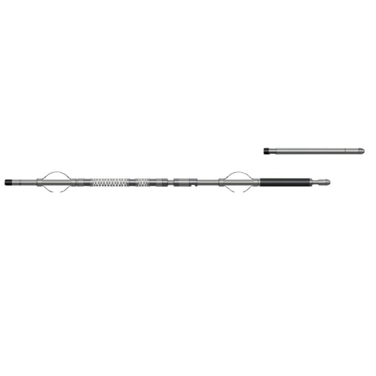
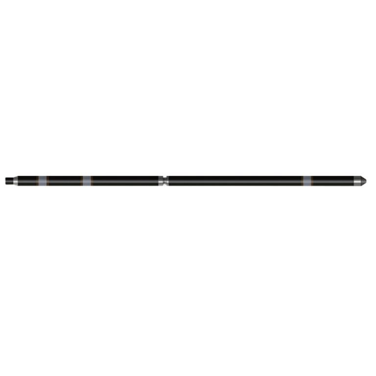
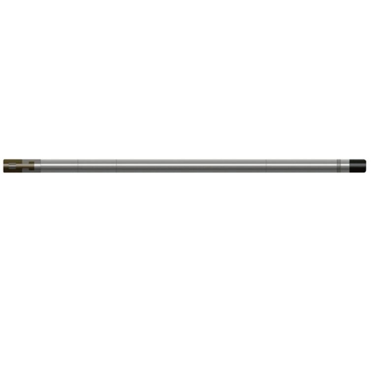
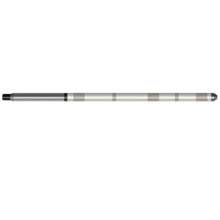
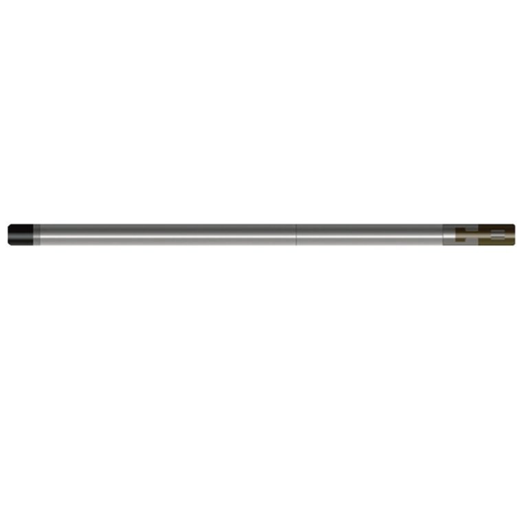
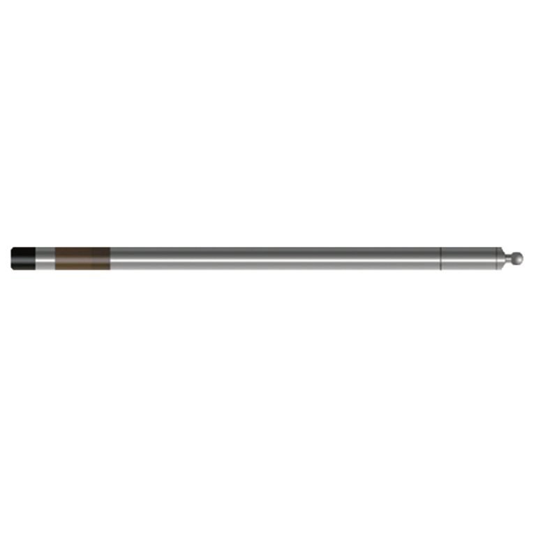
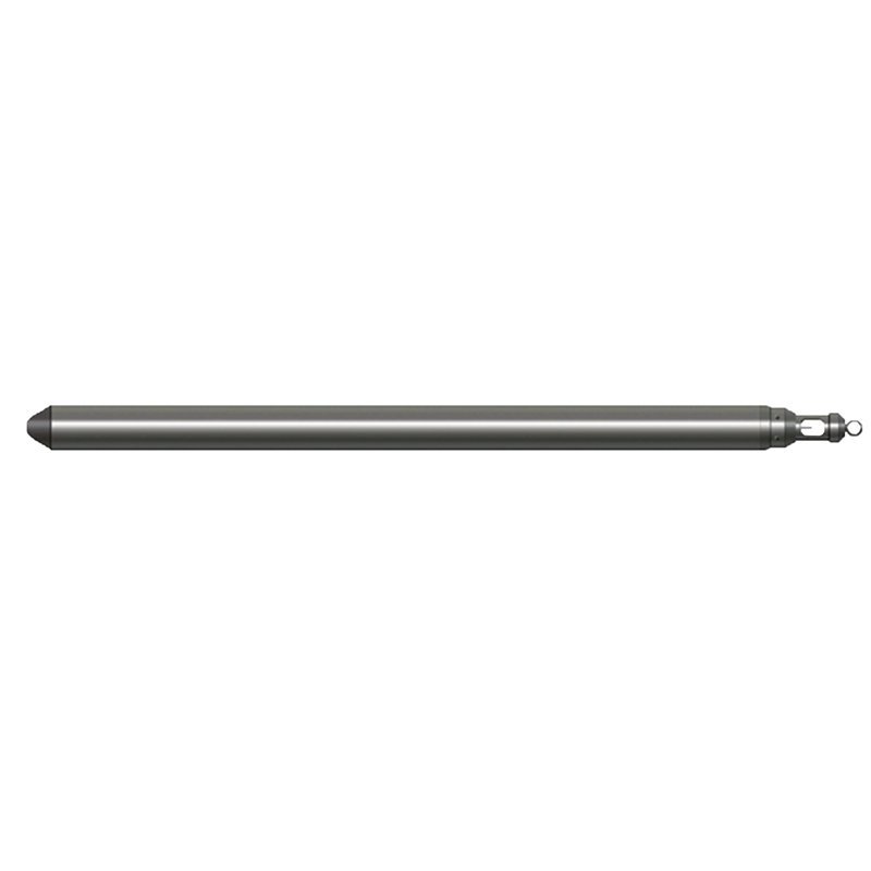
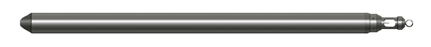
JFSW-H(W) Probe
PRODUCT PARAMETERS
Description
JFSW-H(W) Geothermal Combination(Temperature&Gamma) Probe
 Abstract
JFSW-H(W) Geothermal Combination (Temperature&Gamma) Probe combines pressure, well temperature, thermal gradient and natural gamma measurement parameters into one, which can improve logging efficiency. It adopts the measurement method without logging cable, with a designed maximum operating temperature of 250℃/6 hours and a designed maximum pressure resistance of 100MPa, which is suitable for use in high-temperature deep holes.
Applicable Conditions
● Cased
● Bare hole fill with water or mud
● Bare Dry hole
Applications
● Divide stratigraphic interfaces and determine changes in stratigraphic facies
● Geothermal resources survey and research
● Determine the heat-producing layer, gas-producing layer, and soluble matter layer
● Geological disaster prevention and control engineering
Features
● It is realized by using platinum resistance sensor Pt-1000, which has high temperature measurement accuracy and good stability.
● The single chip microcomputer (MCU) automatically compensates the pressure zero drift according to the temperature change
● It is easy to use and the equipment is simple.
Specifications
| Gamma ray detection sensor | Nal crystal + photomultiplier tube |
| Gamma ray detection and counting range | 0~65000CPS;Accuracy: 5%F.S |
| Gamma ray detection energy threshold | ≥0.06MeV |
| Well temperature measurement range | 0~250℃;Well temperature resolution: 0.025℃ |
| Temperature gradient measurement range | 0.02℃/m~2℃/m(when measuring speed ~600m/H) |
| Well temperature measurement sensor | Pt-1000 |
| Instrument pressure | ≤80MPa; Instrument temperature resistance: -10℃~+250℃; Continuous working for 10 hours |
FAQ
In gravity exploration (SI), what is the unit of gravity? How to convert gravity units between SI and CGS?
What are gravitational field and gravitational potential?
What is the normal gravity field of the earth? What are the rules for the change of the normal gravity field with latitude and altitude?
What is the relationship between gravitational field strength and gravitational acceleration?
What is gravity exploration?