Welcome to Geotech!

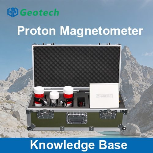
The Ultimate Guide to Proton Magnetometers: Revolutionizing Electromagnetic Surveys
TIPS :Dive into electromagnetic surveys! This guide explores how magnetometers work in them. Learn their principles, from proton precession to induction, and see how they detect subsurface anomalies. Discover real – world apps in mineral exploration and archaeology with these key tools.
I. Introduction: The Unseen Magnetic World
Our planet is alive with magnetic energy. This invisible force holds secrets about what lies beneath the surface. To uncover these secrets, we rely on a powerful tool: the magnetometer. Among these devices, the proton magnetometer stands out. It is a cornerstone of modern geophysical exploration. This guide delves into the science and application of these incredible instruments. We will focus on their role in electromagnetic surveys. You will learn how our high-sensitivity equipment delivers unmatched accuracy. This accuracy is vital for geological surveys and even magnetometry archaeology.
II. What is a Magnetometer? Core Principles and Types
A magnetometer is a sophisticated sensor. It measures the strength and/or direction of magnetic fields. In geophysics, we use them to map variations in the Earth’s magnetic field. These variations can reveal buried structures, minerals, or artifacts.
There are several types of magnetometers. However, they fall into two main categories:
- Scalar Magnetometers: Measure the total magnitude of the magnetic field. They are immune to sensor orientation.
- Vector Magnetometers: Measure the individual components of the magnetic field. They require careful orientation.
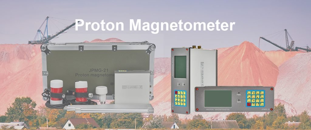
The proton magnetometer is a premier type of scalar magnetometer. Its operation is based on a fundamental principle of quantum physics: proton precession.
III. Deep Dive: The Proton Precession Magnetometer
The proton precession magnetometer is renowned for its absolute accuracy and reliability. It doesn’t require calibration. This makes it a trusted tool for base stations and high-precision surveys.
How Does a Proton Magnetometer Work? It’s a three-step process:
- Polarization: A container is filled with a proton-rich fluid (like kerosene or water). A strong electrical current is passed through a coil around this container. This aligns, or polarizes, the proton spins in the fluid.
- Precession: The current is abruptly switched off. The protons begin to “precess” or wobble. They realign themselves with the Earth’s natural magnetic field. This is like a spinning top slowing down.
- Measurement: As they precess, the protons generate a faint, measurable signal in the same coil. The frequency of this signal is directly proportional to the strength of the Earth’s magnetic field. We measure this frequency precisely to calculate the field strength.
The formula is simple: F = γp * B
Where F is the frequency, B is the field strength, and γp is the gyromagnetic ratio of the proton (a known constant).
This principle makes the proton magnetometer a truly absolute instrument.
IV. Magnetometers in Action: The Electromagnetic Survey
An electromagnetic survey is a key geophysical method. It uses electromagnetic induction to map subsurface conductivity. But where does the magnetometer fit in? It is often used in tandem with EM systems.
In many EM systems, a transmitter coil sends a primary EM field into the ground. This induces eddy currents in conductive subsurface materials. These currents then generate a secondary magnetic field. A magnetometer (often an induction magnetometer) is used in the receiver to detect this weak secondary field. By analyzing this data, we can create detailed images of the subsurface.
Magnetic gradient surveying is another powerful technique. It uses two or more magnetometer sensors separated by a fixed distance. This setup measures the magnetic gradient—the rate of change of the field. This technique is excellent for highlighting shallow, small-scale features. It effectively filters out regional magnetic backgrounds. Our portable magnetic gradiometer systems are perfect for this application.
V. Beyond Geology: Magnetometry Archaeology
The application of magnetometer survey equipment extends far beyond mineral exploration. Magnetometry archaeology is a growing field. It allows archaeologists to non-invasively discover and map historical sites.
Buried features like ditches, pits, hearths, and walls have different magnetic properties than the surrounding soil. A high-sensitivity magnetometer can detect these tiny variations. It can reveal the outline of ancient buildings, tombs, or fire pits without ever breaking ground. Our geomagnetic survey equipment is designed for this precise, delicate work. It helps preserve our cultural heritage.
VI. Choosing the Right Tool: A Product Director’s Perspective
As a product director, I emphasize choosing the right tool for the job. Here’s a brief guide:
- For high-precision, absolute measurements: Choose a proton precession magnetometer. It is ideal for base stations and large-scale geological mapping.
- For high-resolution, detailed mapping: Choose a portable magnetic gradiometer. It is perfect for magnetic gradient surveying, engineering site investigations, and magnetometry archaeology.
- For integration with EM systems: Ensure you have a high-sensitivity induction magnetometer as your receiver.
Our company’s survey magnetometer portfolio includes all these types. We focus on high-sensitivity magnetometer design. Our geomagnetic survey equipment is robust, user-friendly, and delivers data you can trust.
VII. Conclusion: Unveiling the Subsurface with Confidence
The world beneath our feet is no longer a mystery. With advanced magnetometer survey equipment, we can see the unseen. The proton magnetometer, with its quantum-based precision, remains a workhorse of the industry. From massive electromagnetic surveys for mineral discovery to delicate magnetometry archaeology projects, these tools are indispensable.
Investing in the right technology is crucial. It defines the success of your project. Explore our range of proton precession magnetometer and gradiometer systems. Discover how our high-sensitivity magnetometer solutions can empower your next exploration endeavor.
Reference
- WIKI:https://en.wikipedia.org/wiki/Electrical_resistivity_tomography
- Society of Exploration Geophysicists (SEG) https://seg.org/
- Society of Environmental and Engineering Geophysicists (EEGS) https://www.eegs.org/
- Geology and Equipment Branch of China Mining Association http://www.chinamining.org.cn/
- International Union of Geological Sciences (IUGS) http://www.iugs.org/
- European Geological Survey Union (Eurogeosurveys) https://www.eurogeosurveys.org/