Welcome to Geotech!



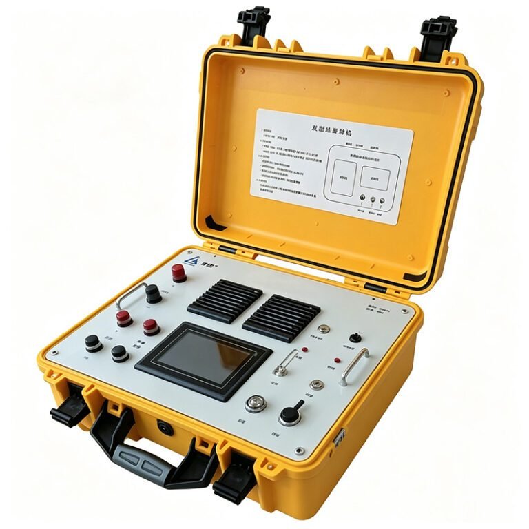
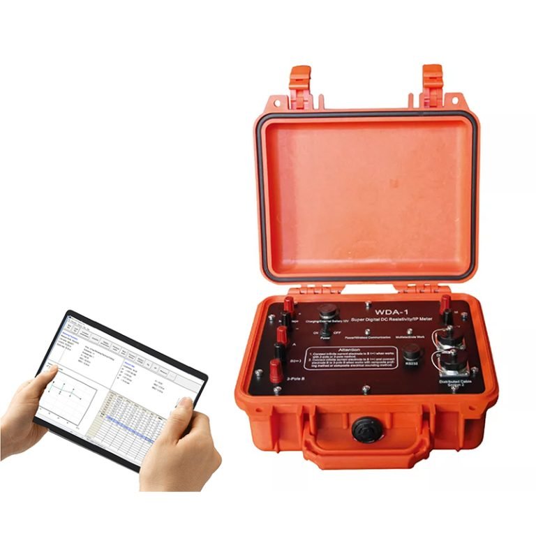
GEO-G1 60-Channel Resistivity & IP System丨Resistivity & IP Meter
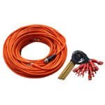
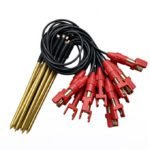
PRODUCT PARAMETERS
Description
 Electrical Principle
 Electrical Principle
Principle
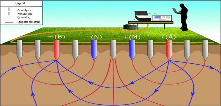
Measuring device
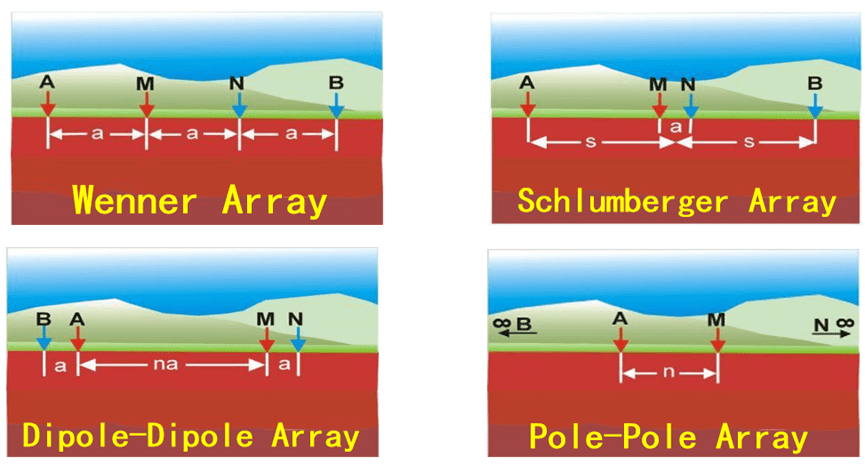
GEO-G1 includes Wenner arrangement (α), dipole arrangement (β), differential arrangement (γ), tripole arrangement (A), tripole arrangement (B), AM arrangement, dipole-dipole arrangement, Schlumberger arrangement (α2), Wenner-Schlumberg arrangement, edge gradient and custom device
High-density electrical measurement method
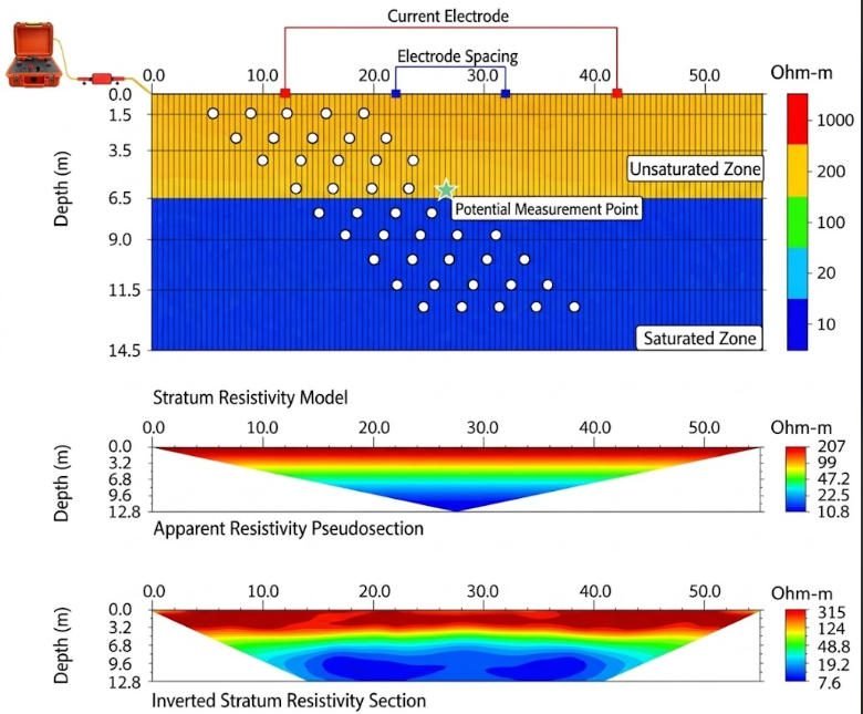
Automatic and continuous measurement with one pole arrangement, integrating bathymetry and profiling met
Abstract
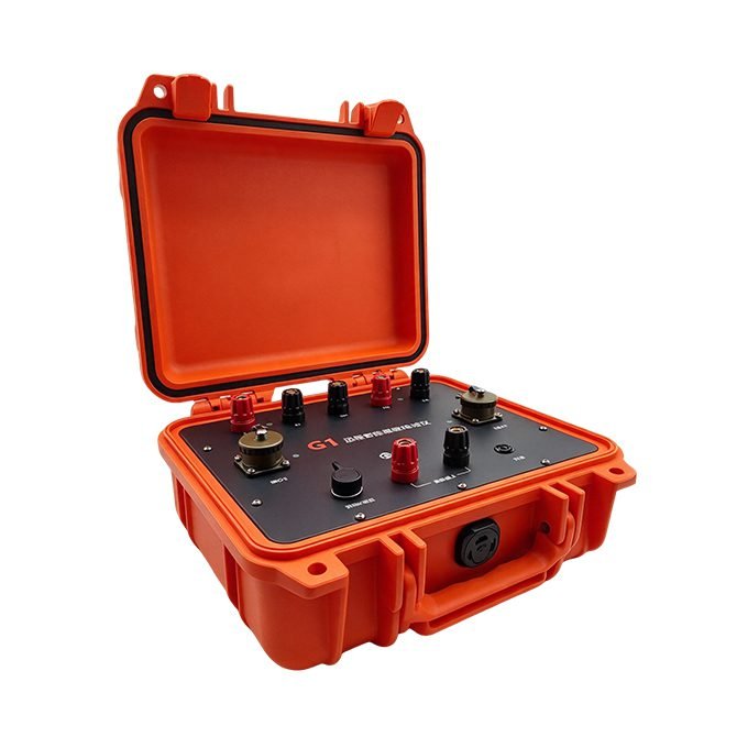
GEOTECH designs the GEO-G1 60-channel package for small-to-medium scale geophysical surveys. It inherits all core advantages of the GEO-G1 series: omnidirectional cascaded converters, dual-mode wireless control, and 32-bit high-precision acquisition.
This system integrates resistivity and induced polarization (IP) measurements. It supports 1D sounding, 2D profiling, 3D arrays and 4D long-term monitoring. The 60-channel configuration cuts total weight and deployment time significantly. One operator can complete full survey workflow independently.
It delivers optimal cost efficiency for routine shallow-to-medium depth projects. It also supports full channel expansion to protect your long-term investment.
Technical Highlights
1. 60-Channel Package Exclusive Advantages
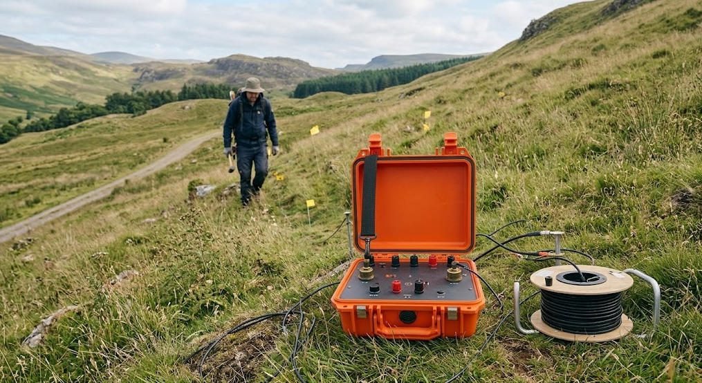
This package reduces total system weight by nearly 40% compared with the 120-channel version. Single-person operation works for most field sites, especially mountain terrain and narrow urban spaces.
Electrode layout and cable winding workload drops by half. A standard 2D profile setup takes less than 30 minutes. It eliminates redundant channel cost, and delivers the best ROI for small and medium projects.
All hardware matches the full GEO-G1 series. You can expand channels to 120 or higher at any time without replacing the mainframe.
2. Core System Performance
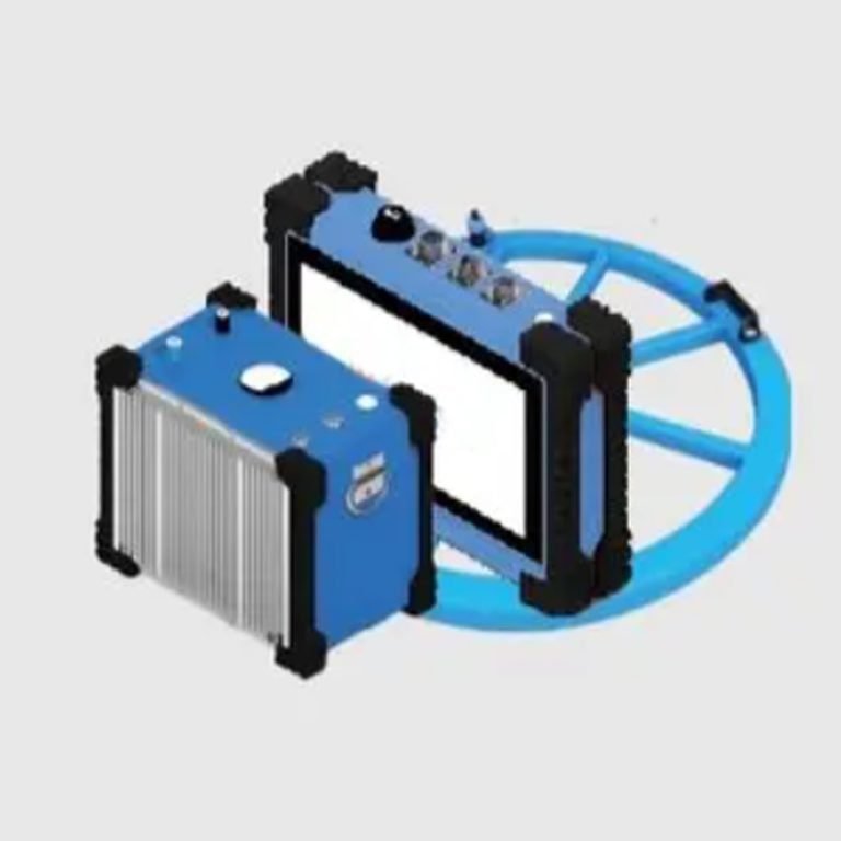
Roll-along flexible layout allows converters to move freely along the survey line. You can reel cables in or out during measurement, improving field efficiency by over 50%. Smart staged acquisition starts measurement once partial electrodes are deployed. You can adjust profile length flexibly without full re-layout.
Dual-mode wireless connectivity combines short-range Bluetooth and built-in 4G. It supports remote operation and real-time data monitoring for unattended 4D monitoring. 32-bit ADC delivers 2 nV voltage resolution and 2.5 nA current resolution. It captures subtle subsurface resistivity and IP anomalies far beyond 24-bit instruments.
140 dB power-line rejection and ±10 V automatic SP compensation ensure reliable data quality near urban areas and high-voltage lines. Built-in 12 V / 7 Ah Li-ion battery supports over 40 hours of continuous operation without 4G connection.
IP67-rated core components work stably from −25 ℃ to 50 ℃, adapting to extreme field environments. High-power transmitter delivers up to 1200 V / 8 A output, with fully adjustable pulse width and duty cycle for different geological conditions.
Supported Electrode Arrays
1. Standard Configurations
The system preloads 12 standard electrode arrays for diverse survey requirements:
- Wenner array (α)
- Dipole-dipole array (β)
- Differential array (γ)
- Pole-pole array (A / B)
- Pole-dipole array (AM)
- Schlumberger array (α2)
- Wenner-Schlumberger array
- Gradient array
- Custom programmable arrays
2. Flexible Measurement Modes
The system supports automatic continuous measurement under a single array, combining sounding and profiling functions. You can run multiple arrays with multiple electrode spacings in one deployment. This maximizes data acquisition efficiency and reduces field work time.
System Layout
1. 2D Profile Survey
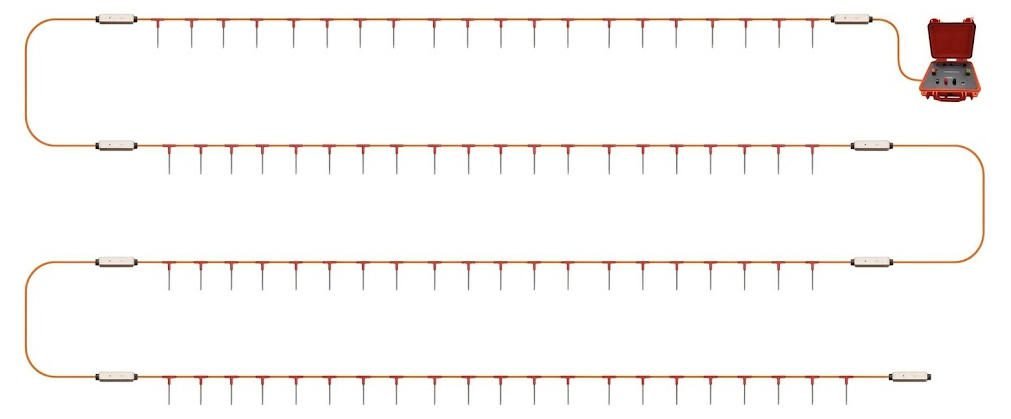
The 60-channel configuration supports standard 2D single-profile surveys. With 10 m standard electrode spacing, the maximum profile length reaches 590 m. It covers most shallow-to-medium depth exploration demands.


2. Scalability & Upgrade Path
You can add more cascaded converters and cables to expand channel count. The system fully supports 3D areal arrays, cross-hole surveys and waterborne measurements after upgrade. One system covers all survey scales from short profile detection to large-area 3D exploration.
Software & Data Compatibility
1. On-Site Acquisition Control
The included Android panel provides real-time waveform monitoring, parameter adjustment and data quality visualization on site. It supports 20+ time-window chargeability analysis and full waveform recording of current and potential. You can set script programming and automatic iteration measurement to reduce manual intervention.
2. Data Processing & Export
The built-in preprocessing system supports multiple export formats: TXT, Excel, DAT and URF. All data works with mainstream geophysical inversion software such as RES2DINV and RES3DINV. Batch data processing function improves office work efficiency significantly.
Specifications
1. Receiver Specifications
| Parameter | Value |
|---|---|
| Voltage range | ±12 V |
| Measurement accuracy | ±0.1% ±1 digit |
| ADC resolution | 32-bit |
| Voltage resolution | 2 nV |
| Input impedance | ≥50 MΩ |
| Chargeability accuracy | ±0.2% |
| SP compensation range | ±10 V (auto tracking) |
| Power-line rejection | 140 dB |
2. Transmitter Specifications
| Parameter | Value |
|---|---|
| Current range | ±8 A |
| Measurement accuracy | ±0.1% |
| Current resolution | 2.5 nA |
| Max. output voltage | 1200 V |
| Max. output current | 8 A |
| Pulse width / duty cycle | Fully adjustable |
| Protection features | Overcurrent, overvoltage, short circuit, overheat |
3. System General Specifications
| Parameter | Value |
|---|---|
| Standard channels | 60 electrodes (expandable) |
| Communication | Bluetooth + built-in 4G |
| Built-in battery | 12 V / 7 Ah Li-ion |
| Battery life | 40+ hours (4G disabled) |
| Protection rating | IP67 (core components) |
| Operating temperature | −25 ℃ to 50 ℃ |
| Storage temperature | −30 ℃ to 60 ℃ |
Standard 60-Channel Configuration
| Item | Specification | Quantity |
|---|---|---|
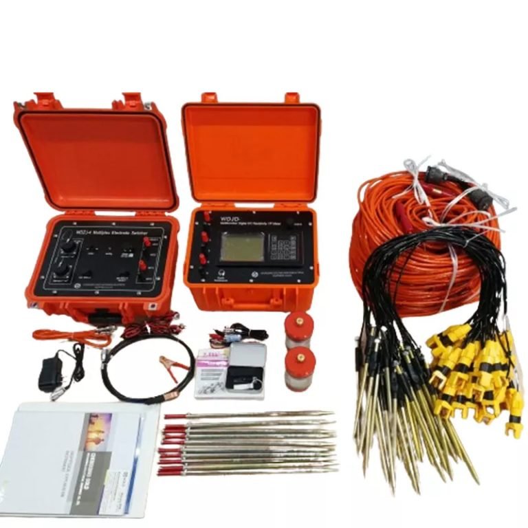
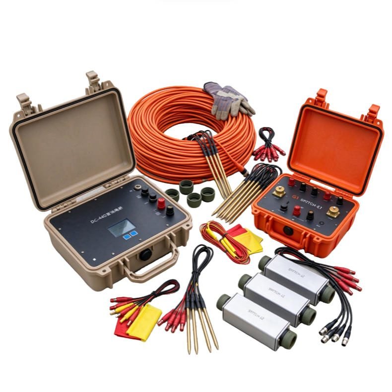
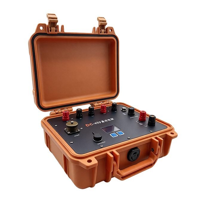
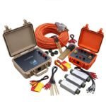
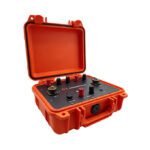
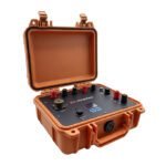
| G1 Resistivity & IP Mainframe | 1200V 8A integrated host, 4G + Bluetooth dual-mode | 1 |
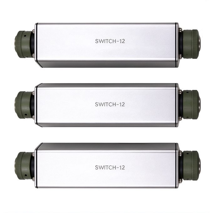
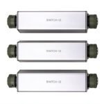
| Switch-12 Cascaded Converter | 12 electrodes per unit, 1000 V / 4 A, 0.5 kg each | 5 |
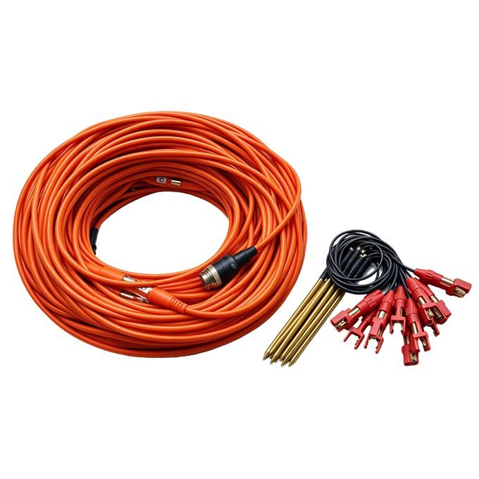
| 12-Tap Cascaded Cable | 10 m spacing, 12 taps per cable; 5 m optional | 5 |
| DC480 Li-ion Power Supply | 10-level output, max. 480 V / 2 A, IP67 | 1 |
| Android Operation Panel | Wireless touch control for on-site operation | 1 |
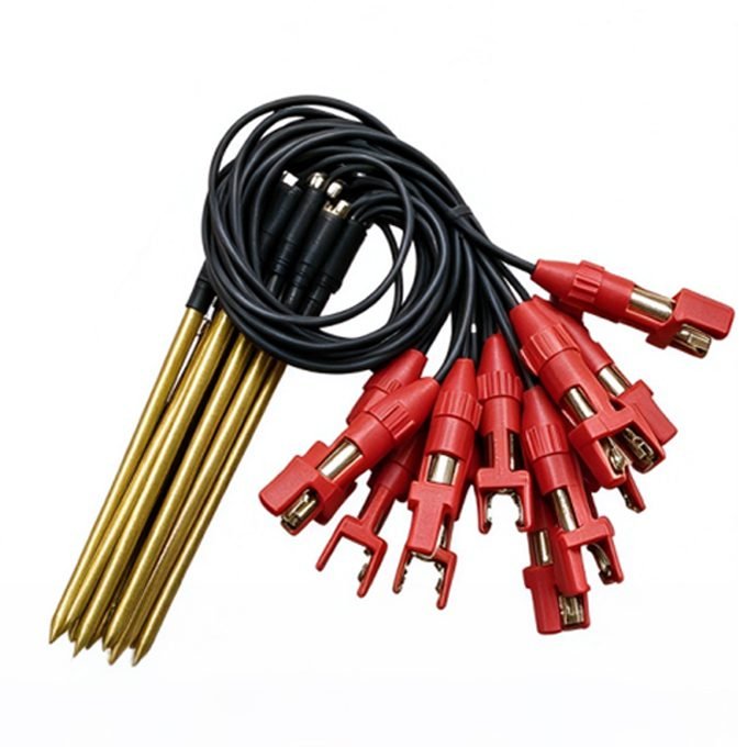
| 30 cm Non-polarizing Electrodes | Copper sulfate electrodes for stable signal | 60 |
Optional accessories: borehole junction boxes, underwater electrodes, extended-range power supply, transport case.
Applications
The 60-channel package fits four main survey categories.
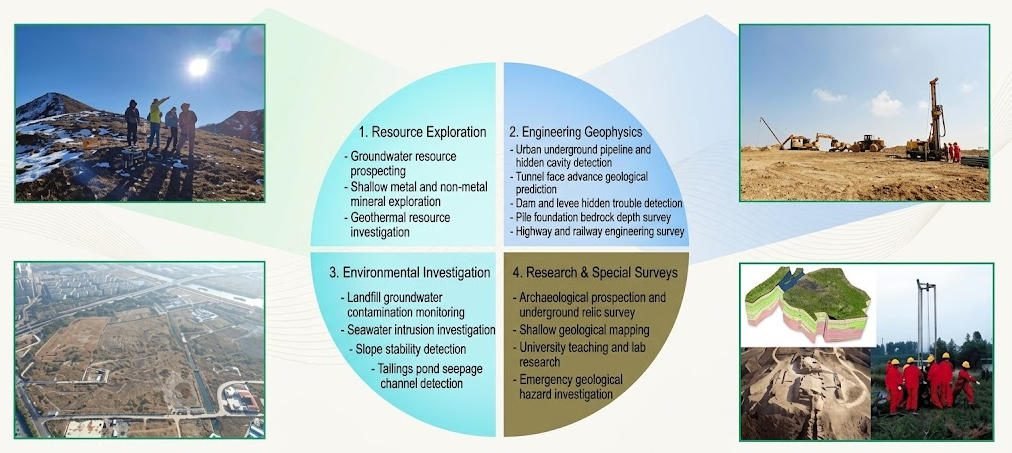
1. Resource Exploration
- Groundwater resource prospecting
- Shallow metal and non-metal mineral exploration
- Geothermal resource investigation
2. Engineering Geophysics
- Urban underground pipeline and hidden cavity detection
- Tunnel face advance geological prediction
- Dam and levee hidden trouble detection
- Pile foundation bedrock depth survey
- Highway and railway engineering survey
3. Environmental Investigation
- Landfill groundwater contamination monitoring
- Seawater intrusion investigation
- Slope stability detection
- Tailings pond seepage channel detection
4. Research & Special Surveys
- Archaeological prospection and underground relic survey
- Shallow geological mapping
- University teaching and lab research
- Emergency geological hazard investigation
For long-profile surveys, large 3D arrays and long-term fixed monitoring, we recommend the 120-channel standard configuration.
Case Studies
Case 1: Site contaminant detection
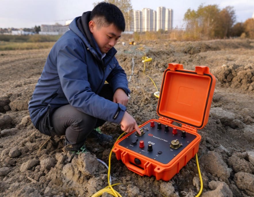
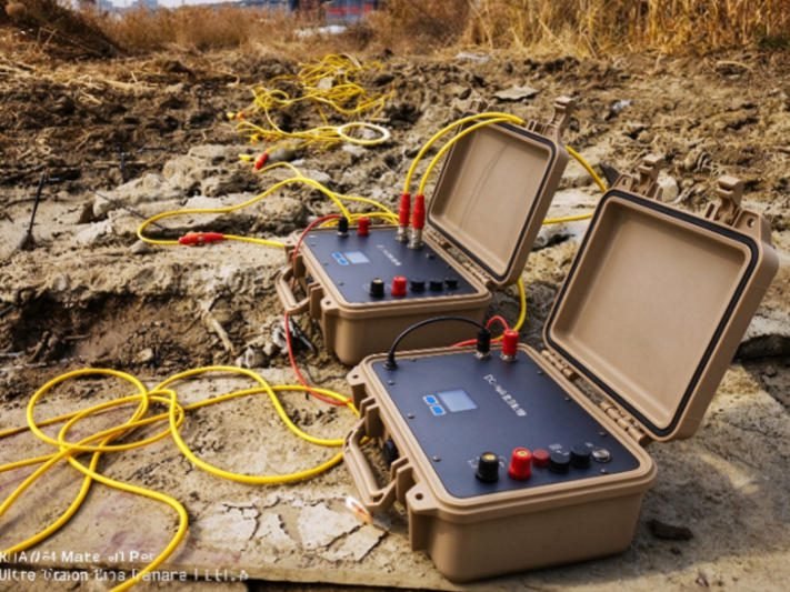
Project: Underground pollution range investigation at an industrial landfill site. Result: The 60-channel system covered the full site with flexible short profiles. High-precision 32-bit acquisition clearly identified low-resistivity anomaly zones of contaminant plumes. It provided accurate data for environmental remediation.
Underground pollution investigation at a site

Case 2: High-density resistivity detection on water
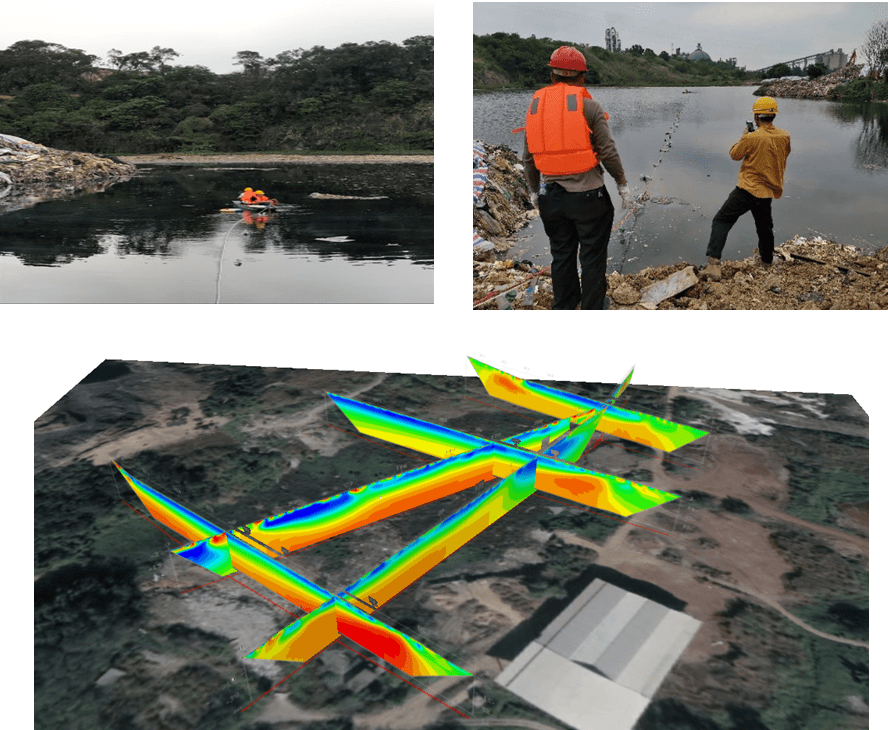
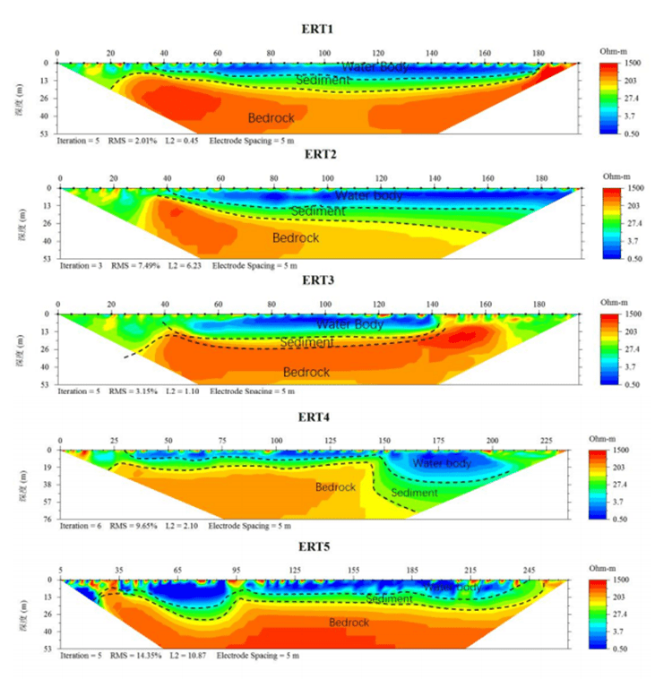
Project: Water depth and sediment thickness detection in an abandoned mine lake. Result: With waterproof electrode assemblies, the system completed continuous underwater resistivity profiling. The inverted profile clearly distinguished water body, sediment layer and underlying bedrock. It verified sediment accumulation thickness accurately.
Detection of water and sediment thickness in an abandoned mine lake
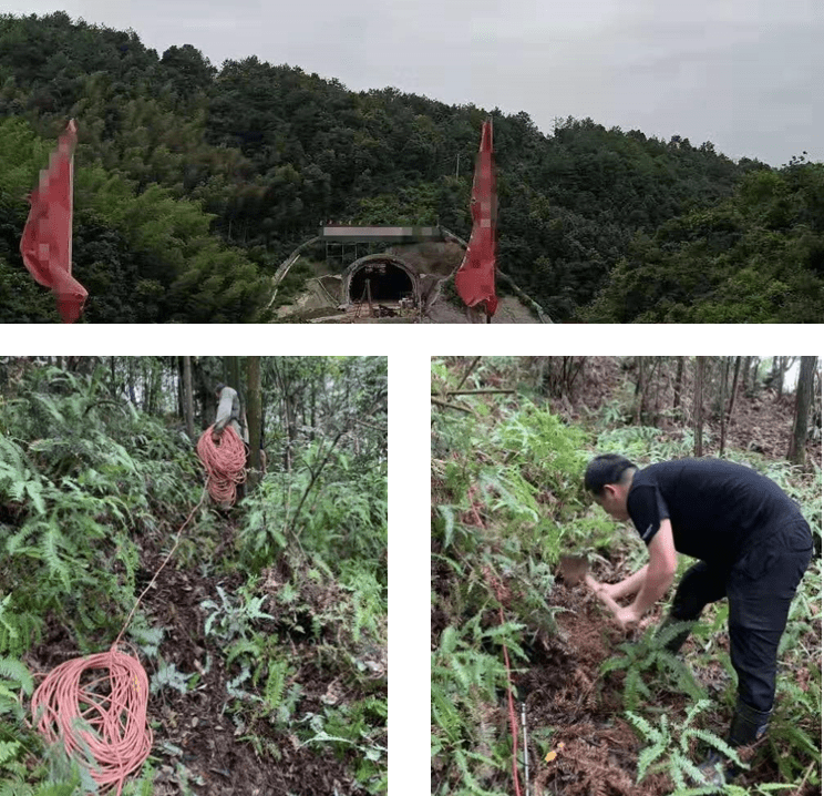
Case 3:Goaf & Hidden Cavity Detection
Project: Underground goaf and karst cavity identification in mountainous areas. Result: The lightweight 60-channel package deployed efficiently in complex mountain terrain. High-sensitivity acquisition captured obvious resistivity anomalies of underground voids. It supported reliable engineering safety assessment.
Identify the goaf or voids in the upper mountain and in front of the tunnel face.

FAQ
In gravity exploration (SI), what is the unit of gravity? How to convert gravity units between SI and CGS?
① In SI, it is m·s-2, and one percent of it is the international unit abbreviation g.u.;
② Conversion between SI and CGS: 1g.u.=10-1 mGal
What are gravitational field and gravitational potential?
Gravitational field: The space around the earth with gravity is called the gravitational field.
Gravitational potential: The gravitational potential W in the gravitational field is equal to the work done by a particle of unit mass moving from infinity to that point.
What is the normal gravity field of the earth? What are the rules for the change of the normal gravity field with latitude and altitude?
① The normal gravity field of the earth: Assuming that the earth is a rotating ellipsoid (reference plane), the surface is glossy, the internal density is uniform, or it is distributed in concentric layers, the density of each layer is uniform, and the deviation of the shape of the ellipsoid from the geoid is very small, then the gravity field generated by the earth is the normal gravity field.
② The normal gravity value is only related to the latitude, the smallest at the equator and the largest at the poles, with a difference of about 50,000 g.u.; the rate of change of the normal gravity value with latitude is the largest at 45° latitude, and zero at the equator and the poles; the normal gravity value decreases with increasing altitude, and its rate of change is -3.086 g.u.. The main feature of the long-term change is the "westward drift" of the geomagnetic elements, both the dipole field and the non-dipole field drift westward, and have a global nature.
What is the relationship between gravitational field strength and gravitational acceleration?
The gravitational field strength is equal to the gravitational acceleration in both numerical and dimensional terms, and the two are in the same direction. In gravity exploration, all references to gravity refer to gravitational acceleration. The gravitational field strength at a point in space is equal to the gravitational acceleration at that point.
What is gravity exploration?
Gravity exploration is an exploration method that is based on the density difference of rocks and ores. Since density difference will cause local changes in the normal gravity field of the earth (i.e. gravity anomaly), it is used to solve geological problems by observing and studying gravity anomalies.