Welcome to Geotech!



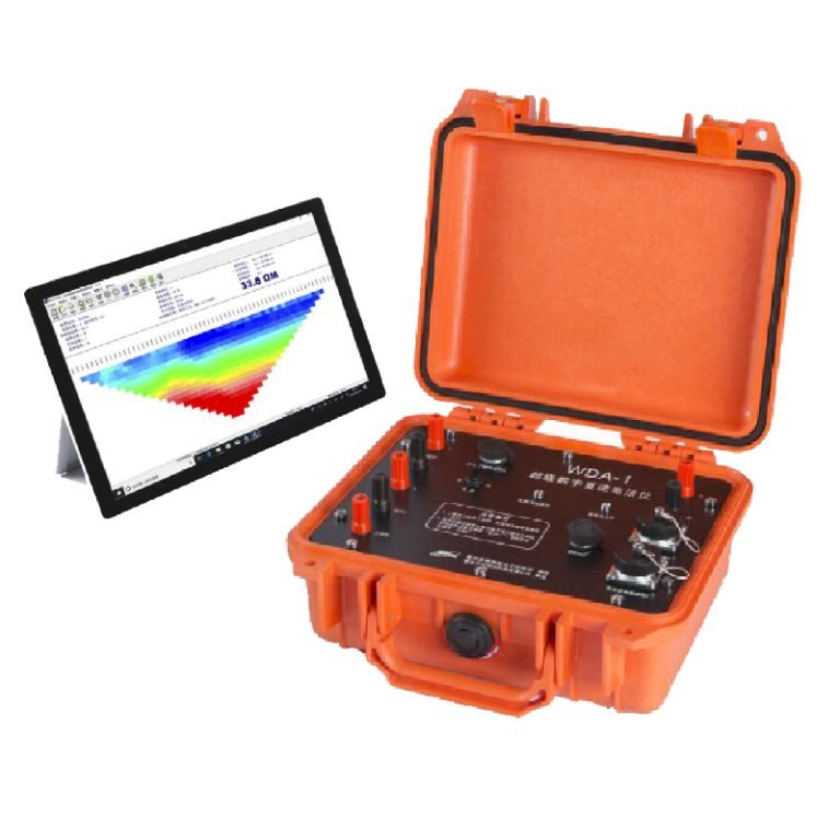
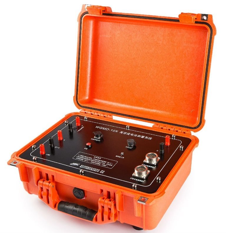
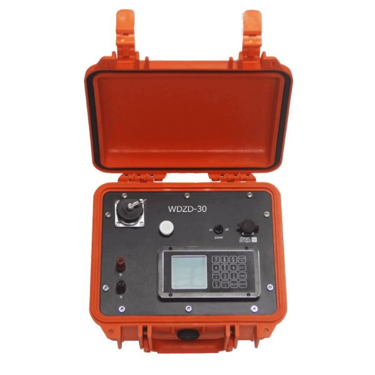
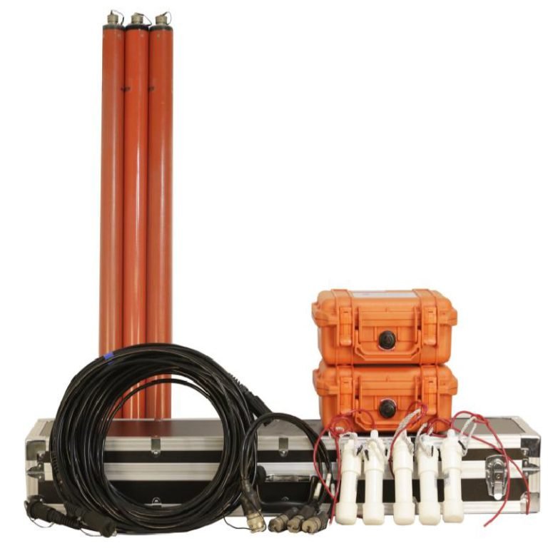
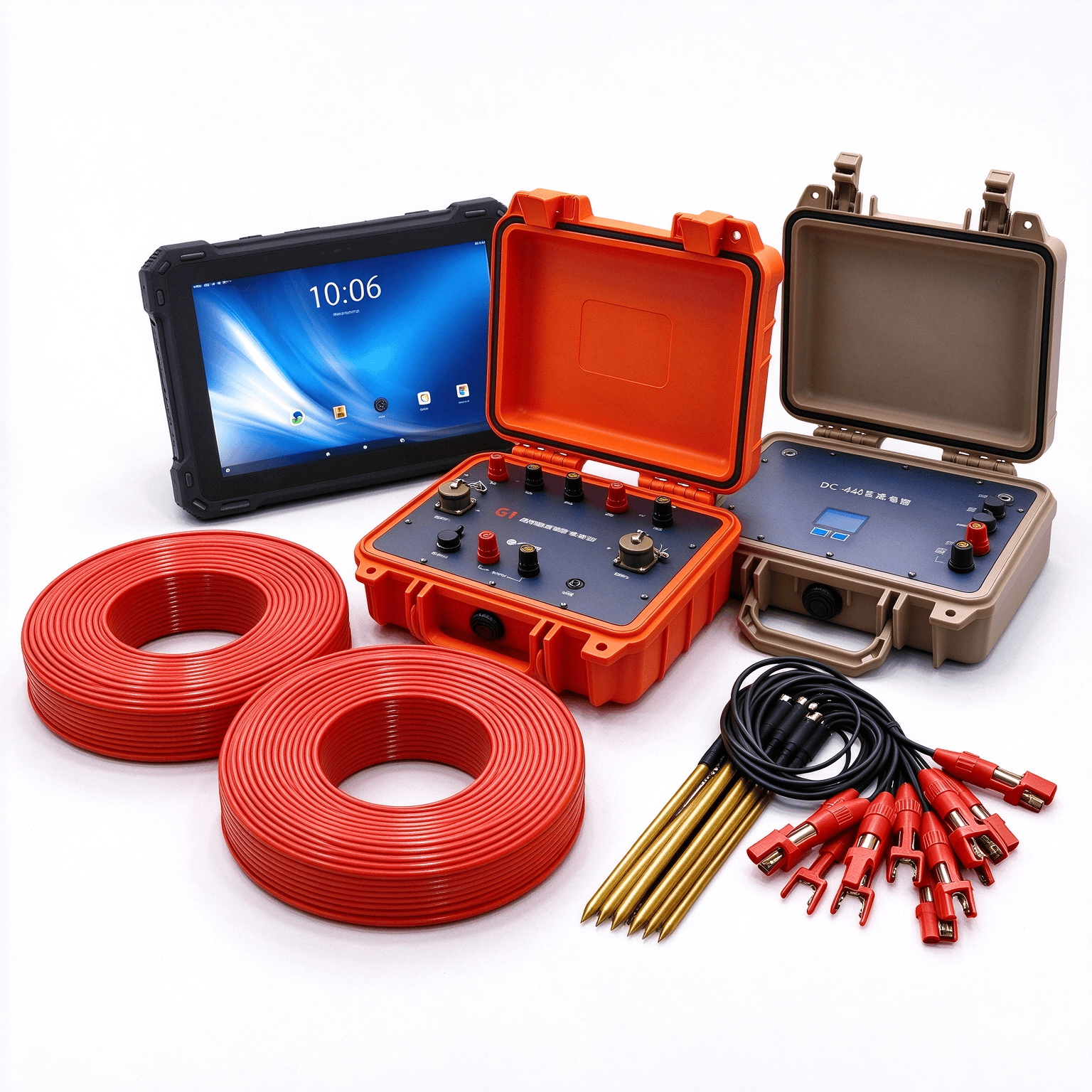
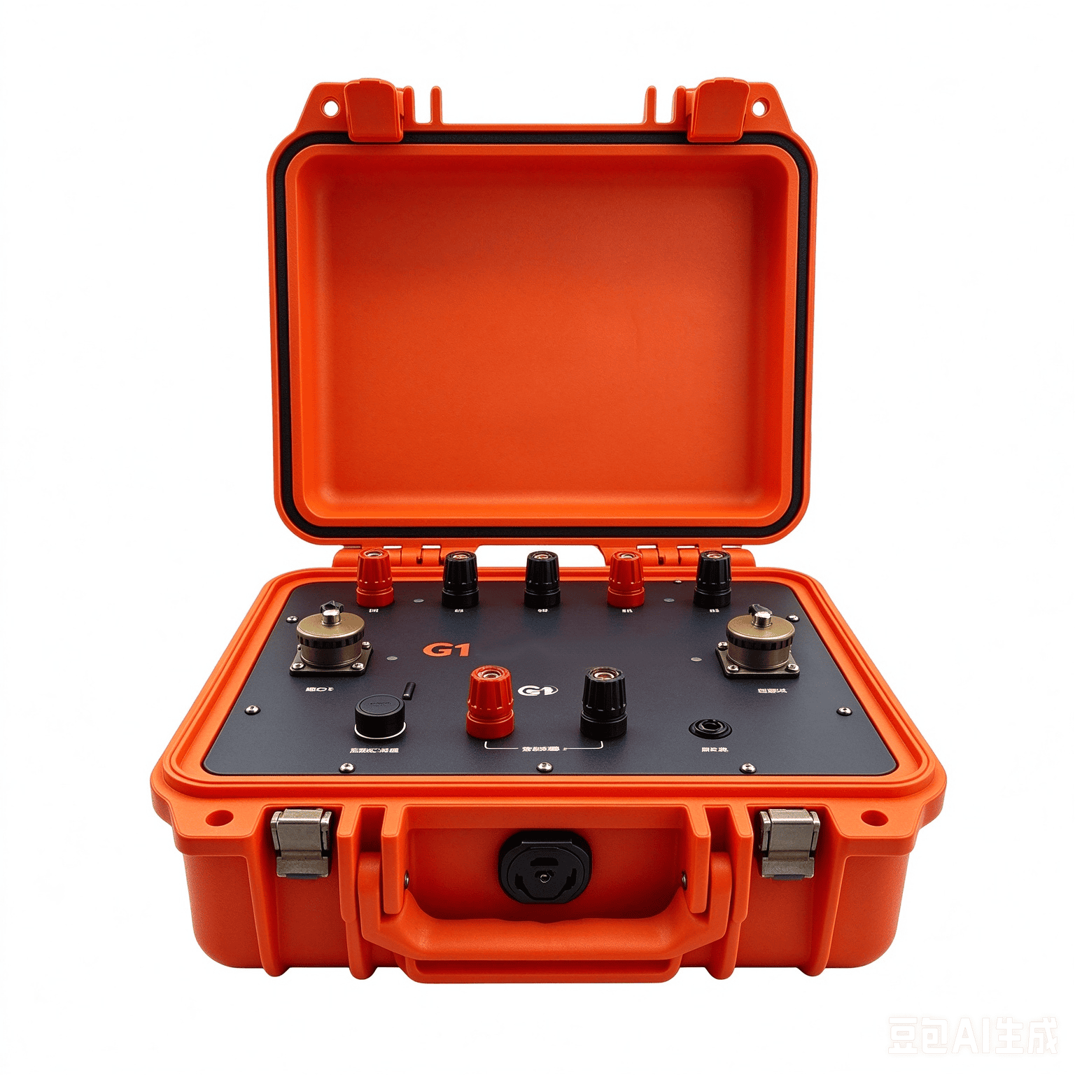
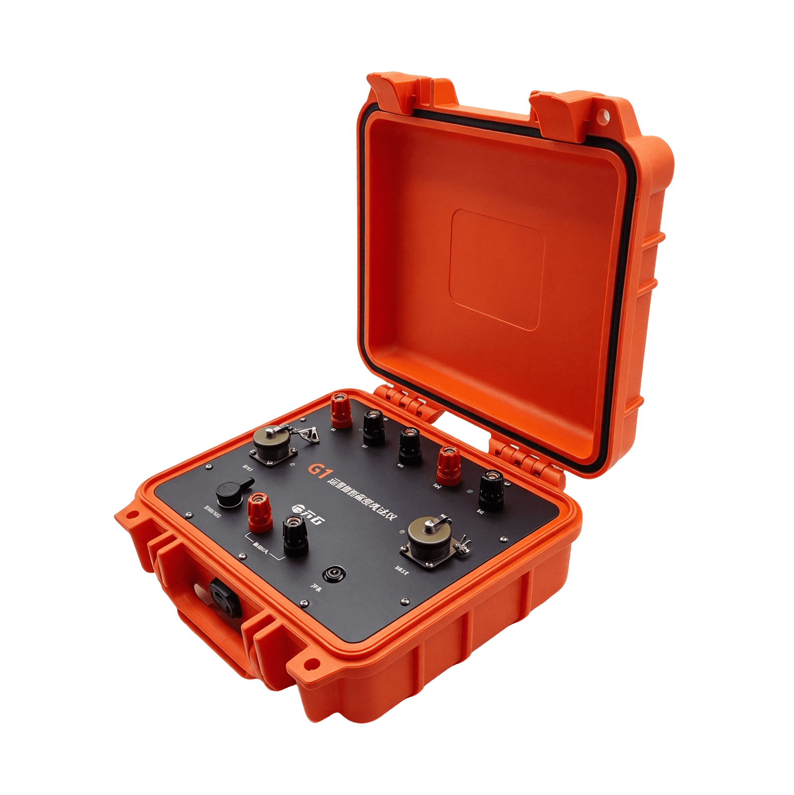
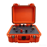
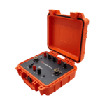
Vertical Electrical Sounding (VES) System丨GEO-G1 Series
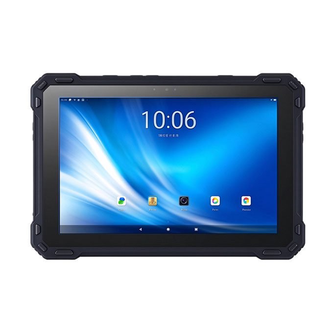
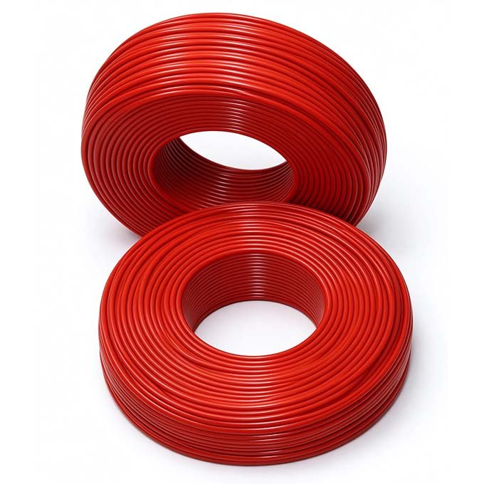
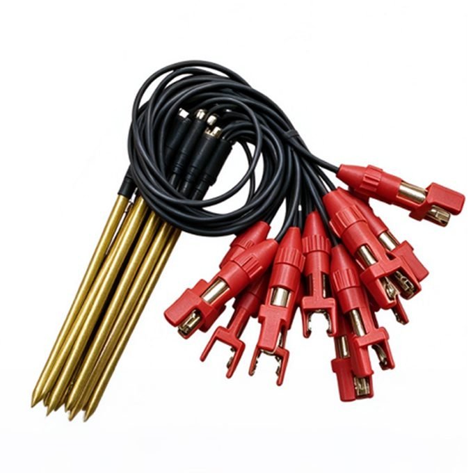
PRODUCT PARAMETERS
Description
 Abstract
 Abstract
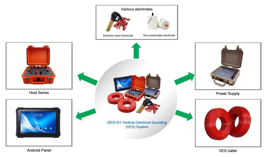
The GEO-G1 combines non-directional cascaded converters with dual-mode 4G communication, transforming conventional Vertical Electrical Sounding (VES) from labor-intensive fieldwork into a lightweight, remote-controlled, and highly efficient workflow.
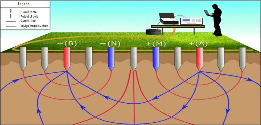
VES is one of the most widely used geophysical methods for subsurface investigation. By systematically expanding electrode spacing (AB) while keeping the measurement center fixed, VES probes progressively deeper into the ground, producing a 1D apparent resistivity curve that reveals the layered earth structure beneath the survey point. The GEO-G1 brings unprecedented precision, remote operability, and field efficiency to this classical technique — while retaining full capability for 2D profiling and 3D resistivity imaging when project scope demands it.
Electrical Principle
Principle
Measuring device
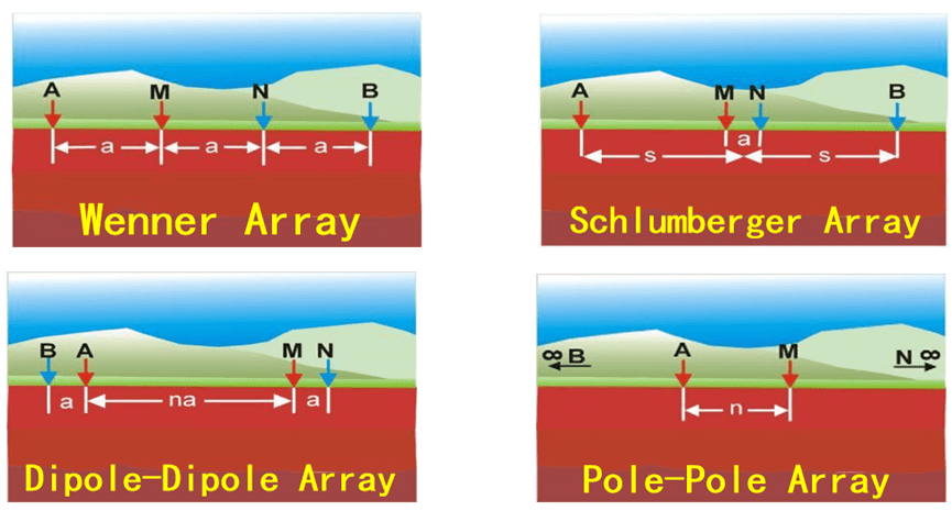
GIM includes Wenner arrangement (α), dipole arrangement (β), differential arrangement (γ), tripole arrangement (A), tripole arrangement (B), AM arrangement, dipole-dipole arrangement, Schlumberger arrangement (α2), Wenner-Schlumberg arrangement, edge gradient and custom device
Schlumberger Array Advantage
The Schlumberger configuration is preferred for VES because only the two outer current electrodes need to be moved for most measurements; the inner potential electrodes remain fixed until the signal becomes too weak. This minimizes field effort and reduces contact resistance variations. With the GEO-G1’s 32-bit ADC and 2 nV voltage resolution, reliable measurements can be obtained even at large AB spacings where signal levels are extremely low.
Features
Schlumberger VES ready
Built-in VES measurement protocol with automatic AB/MN stepping; supports Schlumberger, Wenner, and dipole arrays
Rolling, flexible layout
Non-directional cascaded converters move freely along the line; cables reel in and out during measurement
Smart segmented survey
Start measuring with partially deployed electrodes; profile length flexibly adjustable
Dual-mode wireless
Short-range Bluetooth + built-in 4G for remote operation and real-time data monitoring
High-precision acquisition
32-bit ADC: 2 nV voltage resolution and 2.5 nA current resolution — critical for deep VES soundings with weak signals
Strong interference immunity
140 dB power-line rejection and +/-10 V SP compensation for reliable field data
Long battery life
Built-in 12 V / 7 Ah Li-battery, 40+ hours continuous operation without 4G
Rugged field design
IP67 core components, operating temperature -25 C to 50 C
High-power transmitter
Up to 1500 V / 6 A with adjustable pulse width and duty cycle for deep penetration
Specifications
Receiver
| Voltage range | +/-12 V |
| Accuracy | +/-0.1% +/-1 digit |
| ADC | 32-bit |
| Voltage resolution | 2 nV |
| Input impedance | >=50 MOhm |
| Chargeability accuracy | +/-0.2% |
| SP compensation | +/-10 V |
| Power-line rejection | 140 dB |
Transmitter
| Current range | +/-8 A |
| Accuracy | +/-0.1% |
| Current resolution | 2.5 nA |
| Max. output voltage | 1200 V (expandable to 1500 V) |
| Max. output current | 8 A |
| Pulse width / duty cycle | Adjustable |
VES Performance
| Min. AB/2 spacing | 1.5 m |
| Max. AB/2 spacing | 750 m (with external power) |
| Depth of investigation | Up to ~250 m (depends on geology) |
| Supported arrays | Schlumberger, Wenner, Dipole, Pole-dipole |
| 1D inversion | Built-in / PC software |
VES Deployment
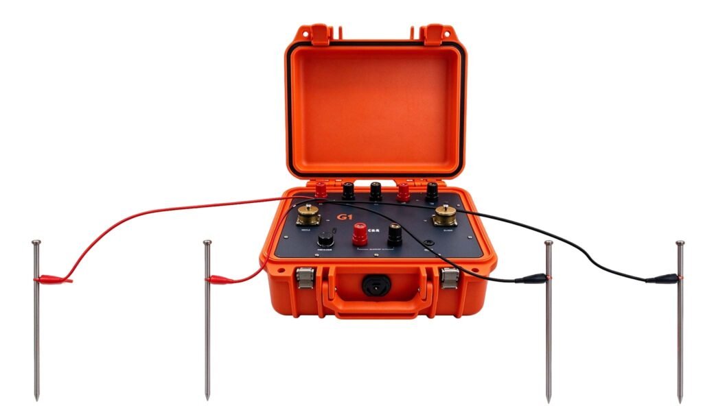
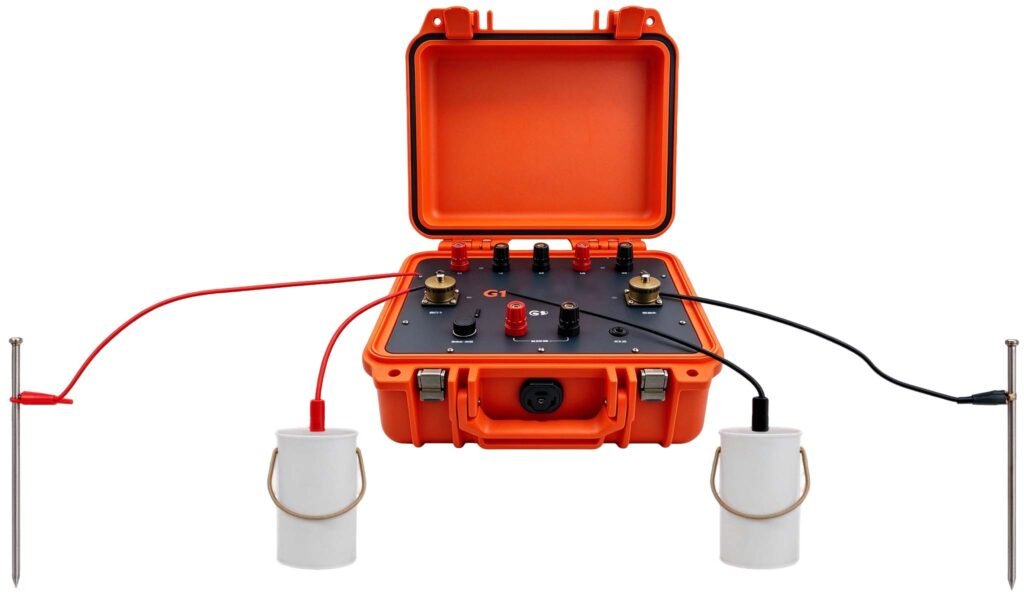
For Schlumberger VES, the four electrodes are arranged symmetrically along a straight line: A — M — O — N — B, where O is the sounding center. The potential electrode spacing MN is kept small and fixed (typically MN = AB/5 to AB/10), while the current electrode spacing AB is progressively expanded.
Applications
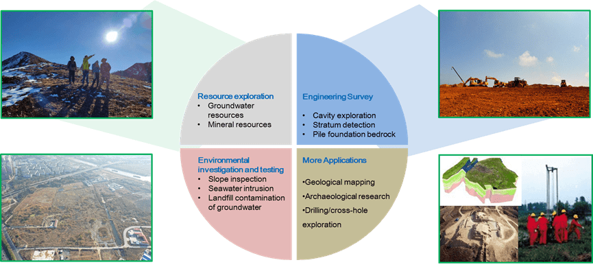
Resource exploration
- Groundwater resources
- Mineral resources
Engineering Survey
- Cavity exploration
- Stratum detection
- Pile foundation bedrock
Environmental investigation and testing
- Slope inspection
- Seawater intrusion
- Landfill contamination of groundwater
More Applications
- Geological mapping
- Archaeological research
- Drilling/cross-hole exploration
FAQ
In gravity exploration (SI), what is the unit of gravity? How to convert gravity units between SI and CGS?
① In SI, it is m·s-2, and one percent of it is the international unit abbreviation g.u.;
② Conversion between SI and CGS: 1g.u.=10-1 mGal
What are gravitational field and gravitational potential?
Gravitational field: The space around the earth with gravity is called the gravitational field.
Gravitational potential: The gravitational potential W in the gravitational field is equal to the work done by a particle of unit mass moving from infinity to that point.
What is the normal gravity field of the earth? What are the rules for the change of the normal gravity field with latitude and altitude?
① The normal gravity field of the earth: Assuming that the earth is a rotating ellipsoid (reference plane), the surface is glossy, the internal density is uniform, or it is distributed in concentric layers, the density of each layer is uniform, and the deviation of the shape of the ellipsoid from the geoid is very small, then the gravity field generated by the earth is the normal gravity field.
② The normal gravity value is only related to the latitude, the smallest at the equator and the largest at the poles, with a difference of about 50,000 g.u.; the rate of change of the normal gravity value with latitude is the largest at 45° latitude, and zero at the equator and the poles; the normal gravity value decreases with increasing altitude, and its rate of change is -3.086 g.u.. The main feature of the long-term change is the "westward drift" of the geomagnetic elements, both the dipole field and the non-dipole field drift westward, and have a global nature.
What is the relationship between gravitational field strength and gravitational acceleration?
The gravitational field strength is equal to the gravitational acceleration in both numerical and dimensional terms, and the two are in the same direction. In gravity exploration, all references to gravity refer to gravitational acceleration. The gravitational field strength at a point in space is equal to the gravitational acceleration at that point.
What is gravity exploration?
Gravity exploration is an exploration method that is based on the density difference of rocks and ores. Since density difference will cause local changes in the normal gravity field of the earth (i.e. gravity anomaly), it is used to solve geological problems by observing and studying gravity anomalies.