Welcome to Geotech!



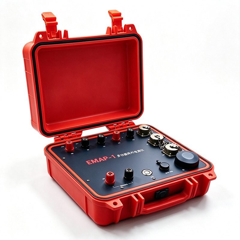
AMT+ERT Multifunction Array Electromagnetic System | GEO EMAP-1
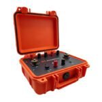
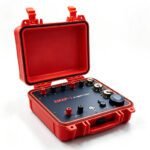
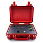
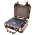
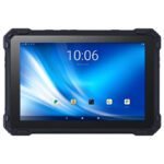
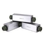

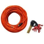
PRODUCT PARAMETERS
Description
 Abstract
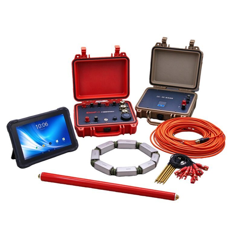
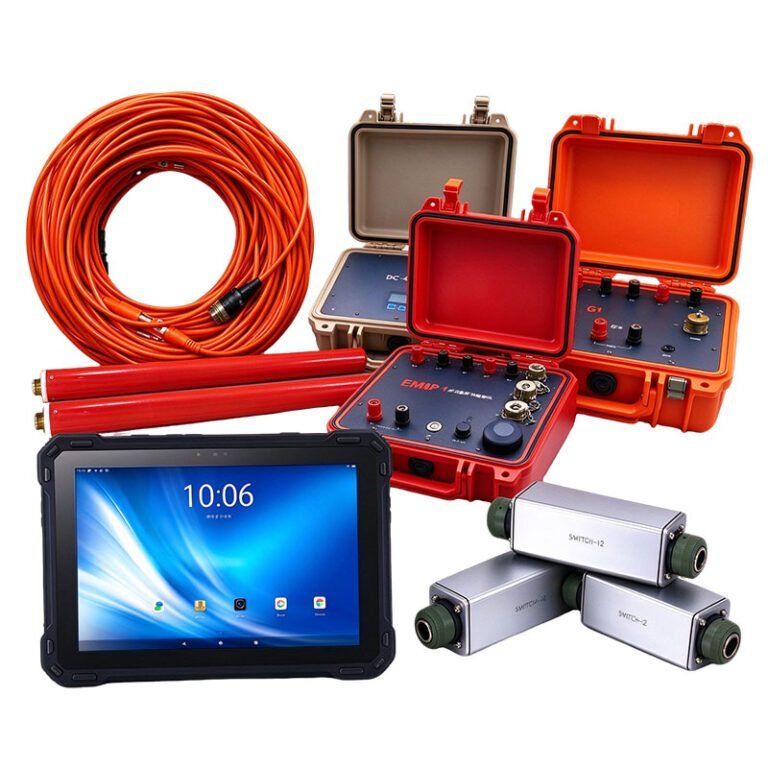
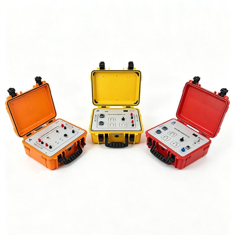
The GEO EMAP-1 Multifunction Array Electromagnetic System is independently developed by GEOTECH. It innovatively integrates Array Audio-frequency Magnetotellurics (RAMT, 10–20,000 Hz) with the High-Density Electrical Resistivity Method (ERT), enabling both datasets to be acquired simultaneously from a single electrode deployment — “one effort, double reward.”
The system supports multi-mode wireless communication via Bluetooth, WiFi, and 4G, simplifying array layout across difficult terrain. GNSS pulse-per-second synchronization keeps the clock error below 50 nanoseconds, ensuring phase coherence across the multi-unit array. Combined local and distributed multi-point magnetic-field measurements effectively suppress cultural noise and improve data accuracy at deep soundings, while the distributed cascaded architecture flexibly scales channel count to suit complex survey environments and deep, extended profiles.
Features
Dual-method efficiency
GNSS precise sync
GNSS pulse sync with clock error under 50 ns keeps array phases consistent.
Versatile observation
2D/3D ERT (Wenner, Schlumberger, etc.) plus array AMT, from shallow to depth.
Multi-mode wireless
Bluetooth, WiFi and 4G/5G links cover all kinds of field conditions with no cabling.
Innovative magnetics
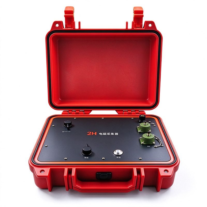
Local plus distributed magnetic sensing; optional 2H receiver for remote reference.
Scalable layout
Distributed cascade cabling, flexible and extensible up to 120 channels.
Specifications
System Info
| Parameter | Specification |
| Frequency Range | 10~20kHz |
| Clock Sync | GNSS pulse sync ; error <50ns |
| Communication | Bluetooth WiFi and 4G/5G |
| Magneto RX | Main Unit 1H; extra 2H sensors |
Observe and Expand
| Parameter | Specification |
| Measure Array | 2D/3D ERT and IP; AMT |
| Spacing | AMT can change to different interval |
| System Expand | Distribution System Support multi Instrument GPS sync measurement |
Power and Basic Status
| Parameter | Specification |
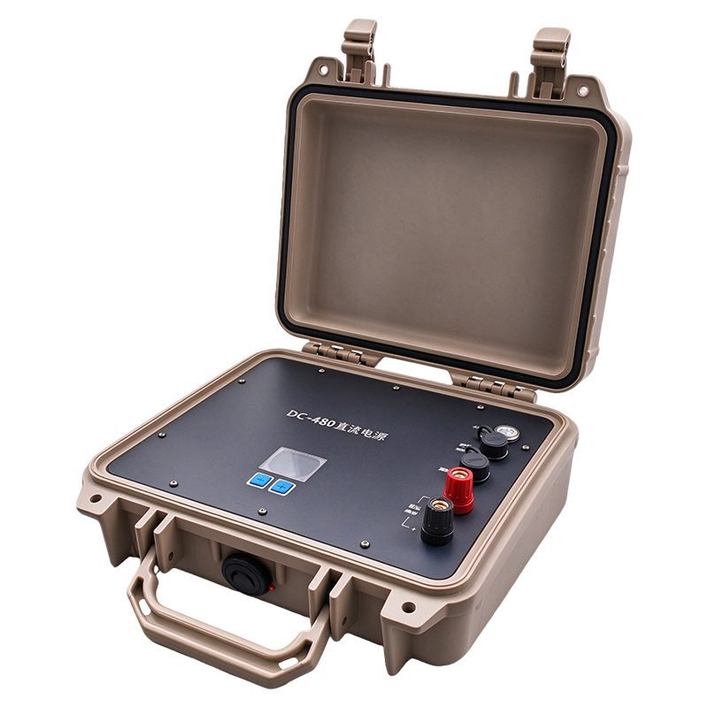
| Power | Instrument Internal Battery; High power Input need DC480 or other ACDC module |
| Temp | -20℃~60℃ |
Specifications
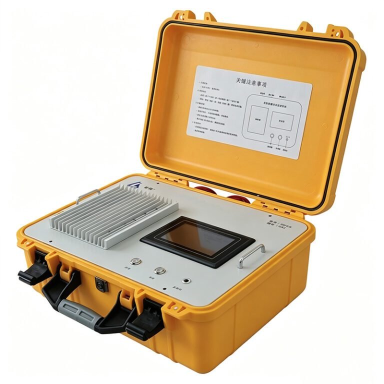
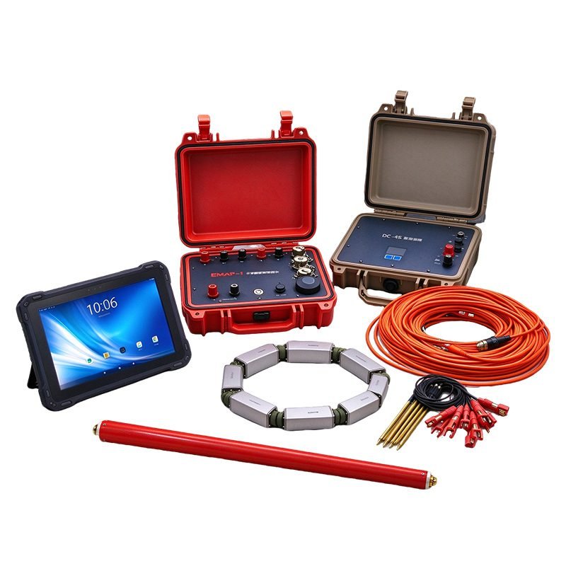
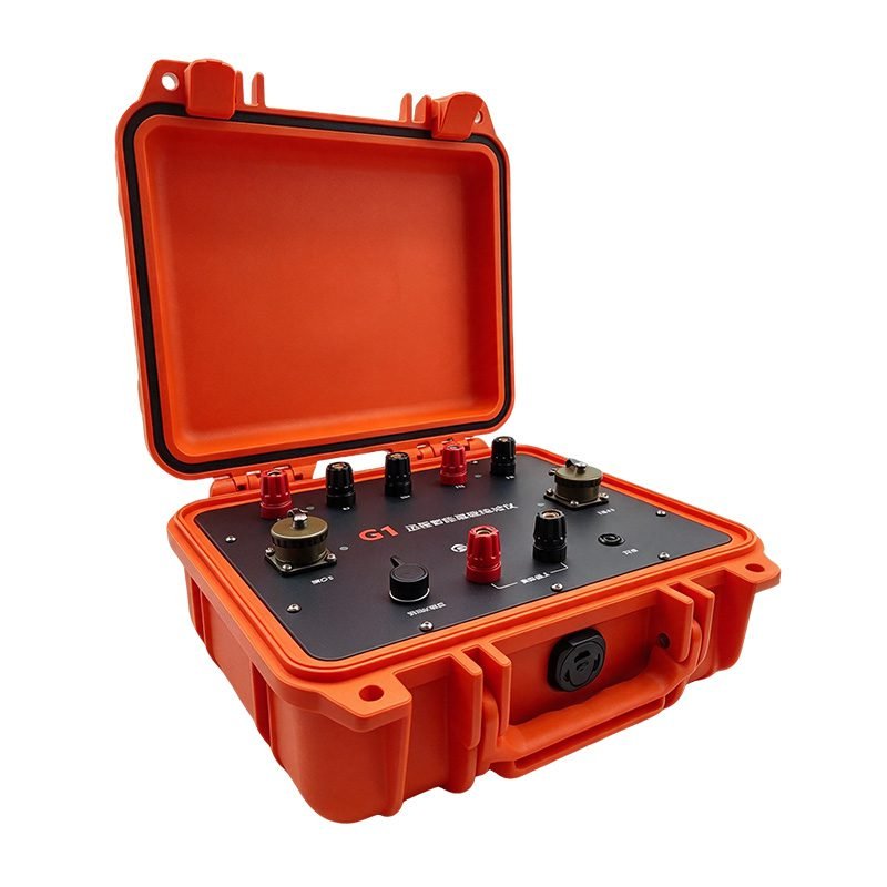
GEO EMAP-1 Main Unit
Packaged in a portable waterproof case with built-in power supply and lithium battery; 4G/5G + Bluetooth dual-mode communication; runtime over 40 hours without cellular coverage.
| Item | Spec |
| Communication | 4G/5G + Bluetooth dual-mode |
| Runtime | 40+ hours (without 4G/5G) |
| Operating temp. | −20 °C ~ +60 °C |
DC-480 Adjustable DC Lithium Battery Power Supply
Up to 480 V adjustable output in ten steps, maximum 2.0 A, providing high-voltage DC for transmission; IP67 rated.
| Item | Spec |
| Output voltage | Up to 480 V (10 steps) |
| Max. current | 2.0 A |
| Protection rating | IP67 |
Magnetic Receiver
Dual-channel magnetic field reception, supporting local and remote reference measurements.
| Item | Spec |
| Magnetic channels | 2 channels |
| Compatible sensors | Magnetic sensor × 2 |
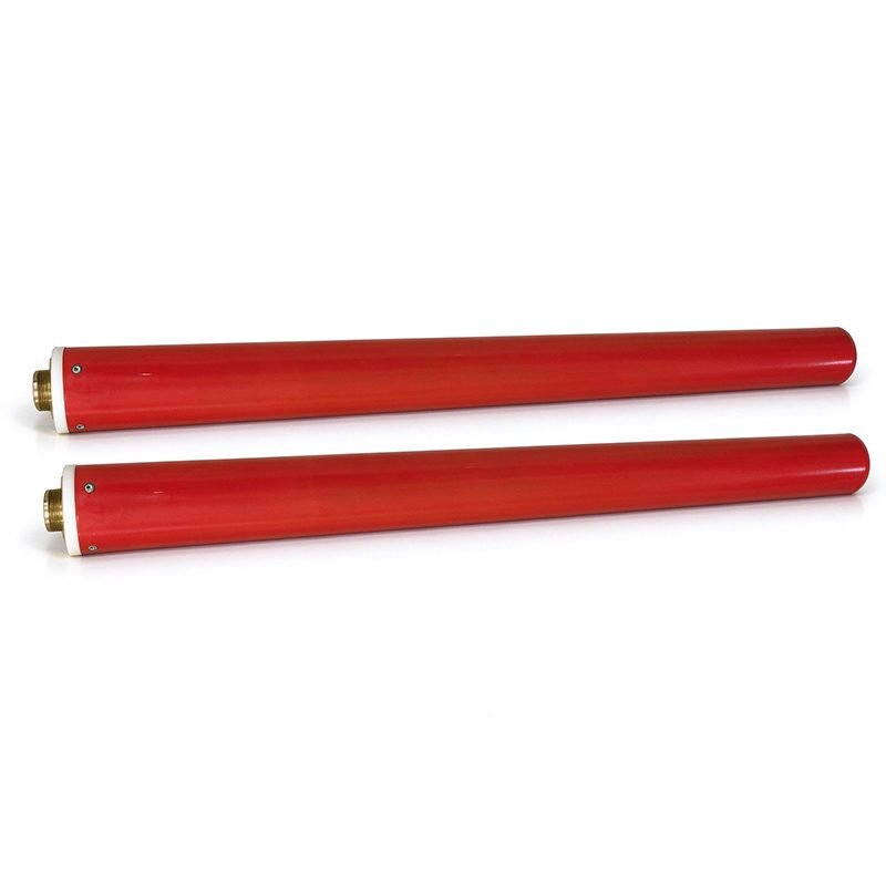
Magnetic Sensor
Frequency range 1 ~ 100 kHz; used with the 2H magnetic receiver.
| Item | Spec |
| Frequency range | 1 ~ 100 kHz |
| Quantity | × 2 |
Cascade Converter
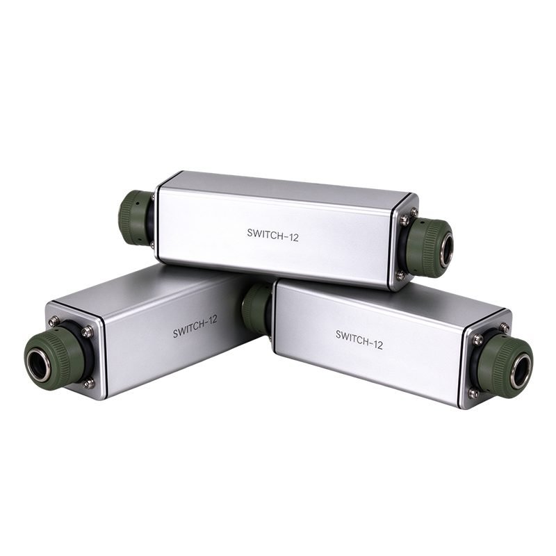
Switches 12 electrode channels per unit; 1000 V / 4 A rating; weighs only ~0.5 kg for easy field deployment.
| Item | Spec |
| Channels per unit | 12 electrode channels |
| Rating | 1000 V / 4 A |
| Weight | ~0.5 kg |
Cascade Electrode Cable
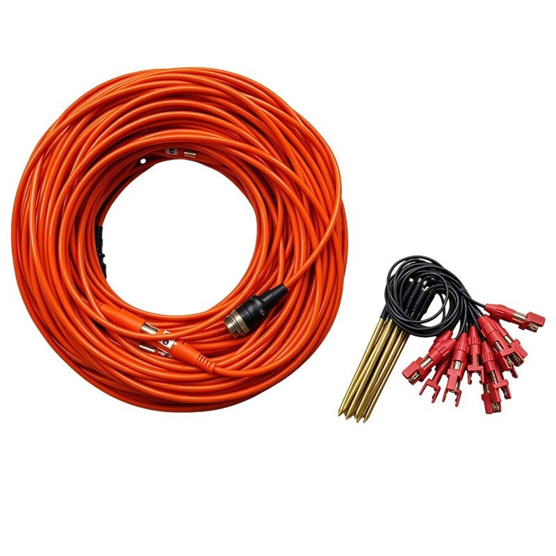
32-core, φ6 mm cable with 5 m / 10 m tap spacing; each string serves 12 electrodes.
| Item | Spec |
| Core / diameter | 32-core, φ6 mm |
| Tap spacing | 5 m / 10 m |
| Electrodes per string | 12 |
Electrode
Non-polarizing electrodes for stable contact resistance, compatible with the cascade cable strings.
| Item | Spec |
| Type | Non-polarizing electrode |
| Compatibility | Cascade electrode cable |
System Connection
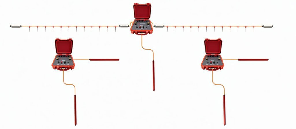
3D system connection diagram (2D EMAP + 2×2H RAMT)
2D high-density and array AMT survey supported by two remote-reference magneto receivers with GNSS synchronization
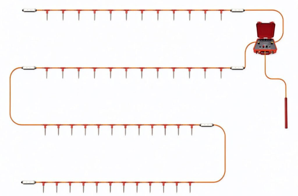
3D system connection diagram (2D EMAP + 1×2H RAMT)
3D resistivity and AMT acquisition enables simultaneous 2D and 3D acquisition, and multiple units can be combined.
Applications
- Geological survey
- Engineering investigation
- Geohazard prevention
- Environmental monitoring
- Municipal & archaeology
- Energy exploration
- Transport engineering
- Hydraulic works
Case Studies
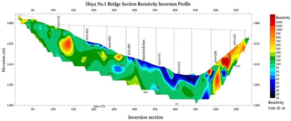
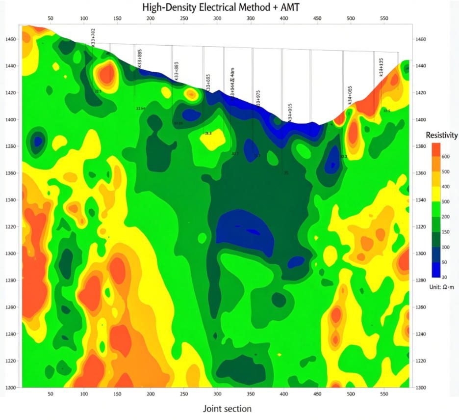
GEO EMAP-1 Joint Array AMT + ERT Observation Test (Shibei No.1 profile)
A single electrode layout on the same line acquired array audio-magnetotelluric (AMT) and electrical resistivity tomography (ERT) data simultaneously: ERT provides shallow high resolution while AMT reveals deep resistivity structure; the two datasets cross-validate and form a complete electrical section from shallow to deep.
- Shibei No.1 profile: high-resolution ERT at shallow depth plus large-depth AMT — one layout, two datasets.
- The joint section clearly delineates overburden thickness and bedrock relief.
FAQ
In gravity exploration (SI), what is the unit of gravity? How to convert gravity units between SI and CGS?
① In SI, it is m·s-2, and one percent of it is the international unit abbreviation g.u.;
② Conversion between SI and CGS: 1g.u.=10-1 mGal
What are gravitational field and gravitational potential?
Gravitational field: The space around the earth with gravity is called the gravitational field.
Gravitational potential: The gravitational potential W in the gravitational field is equal to the work done by a particle of unit mass moving from infinity to that point.
What is the normal gravity field of the earth? What are the rules for the change of the normal gravity field with latitude and altitude?
① The normal gravity field of the earth: Assuming that the earth is a rotating ellipsoid (reference plane), the surface is glossy, the internal density is uniform, or it is distributed in concentric layers, the density of each layer is uniform, and the deviation of the shape of the ellipsoid from the geoid is very small, then the gravity field generated by the earth is the normal gravity field.
② The normal gravity value is only related to the latitude, the smallest at the equator and the largest at the poles, with a difference of about 50,000 g.u.; the rate of change of the normal gravity value with latitude is the largest at 45° latitude, and zero at the equator and the poles; the normal gravity value decreases with increasing altitude, and its rate of change is -3.086 g.u.. The main feature of the long-term change is the "westward drift" of the geomagnetic elements, both the dipole field and the non-dipole field drift westward, and have a global nature.
What is the relationship between gravitational field strength and gravitational acceleration?
The gravitational field strength is equal to the gravitational acceleration in both numerical and dimensional terms, and the two are in the same direction. In gravity exploration, all references to gravity refer to gravitational acceleration. The gravitational field strength at a point in space is equal to the gravitational acceleration at that point.
What is gravity exploration?
Gravity exploration is an exploration method that is based on the density difference of rocks and ores. Since density difference will cause local changes in the normal gravity field of the earth (i.e. gravity anomaly), it is used to solve geological problems by observing and studying gravity anomalies.