Welcome to Geotech!



GEO-GPR-400 MHz Single-Frequency Geophysical Radar Series | 400MHz Shielded

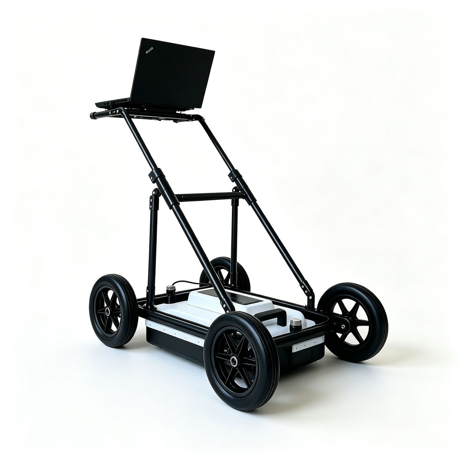




PRODUCT PARAMETERS
Description
 Abstract
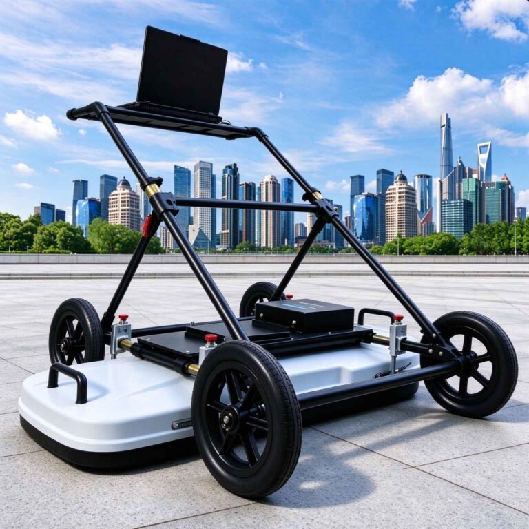
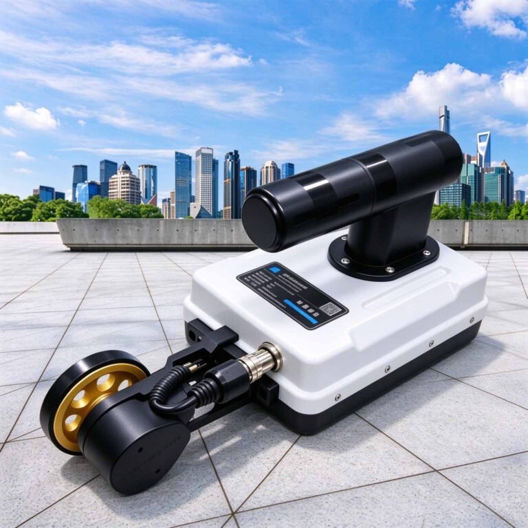
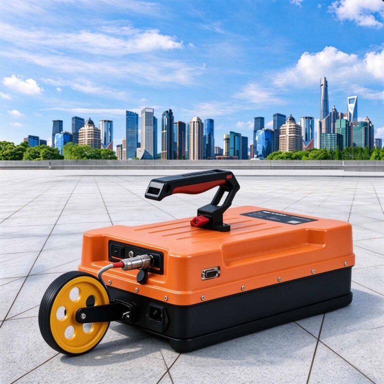
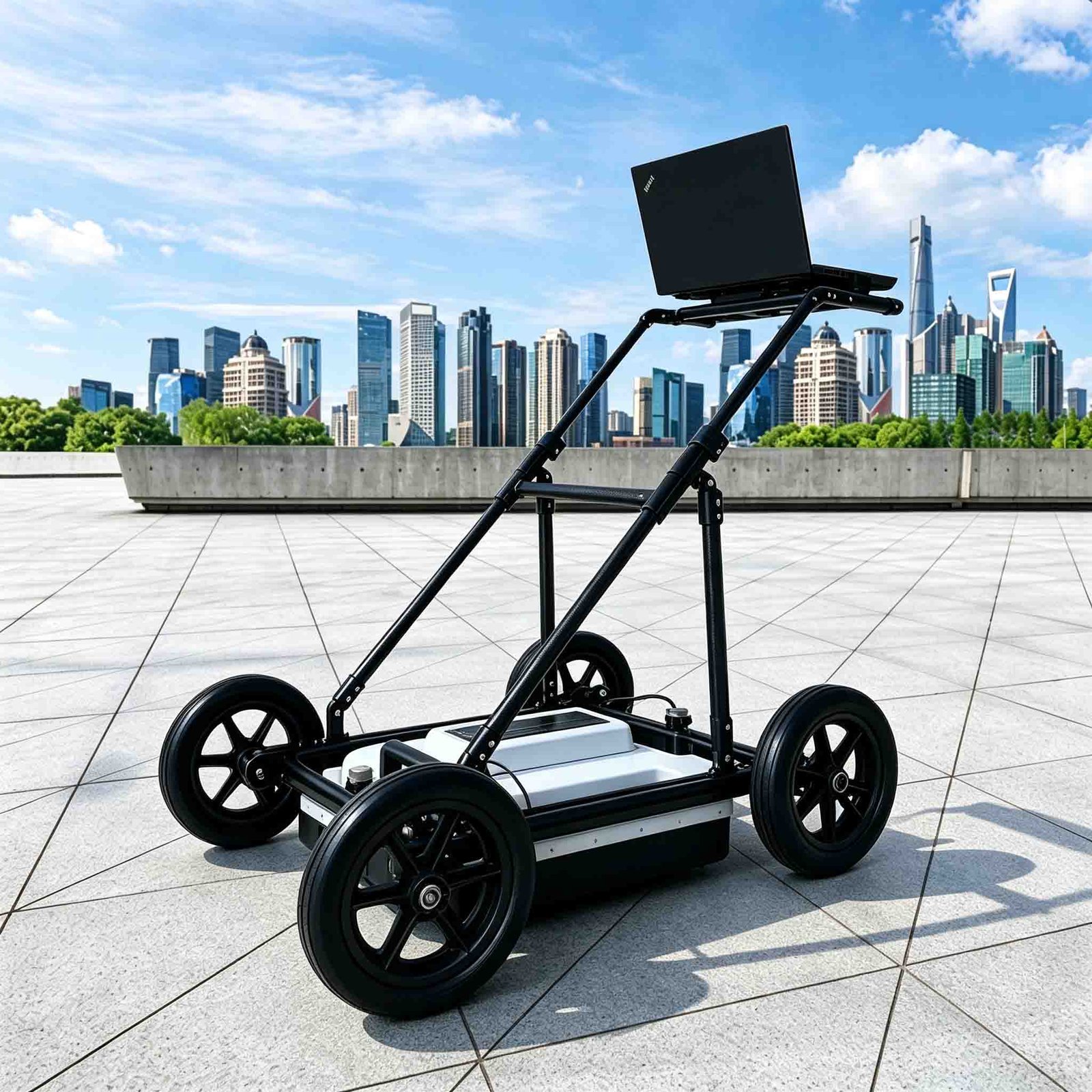
The GEO-GPR-400MHz is the workhorse of the GEO-GPR range and the model most specifiers should start with. At 5.85 kg it is light enough for one person to push, carry through a portal or lift onto a kerb, and its wavelength is short enough to measure a shotcrete lining thickness, resolve two pavement layers and still reach five metres of ground.
It is the frequency most often written into tunnel lining quality specifications and pavement layer-thickness surveys, because it is the first point in the spectrum where thickness becomes directly measurable rather than merely detectable.
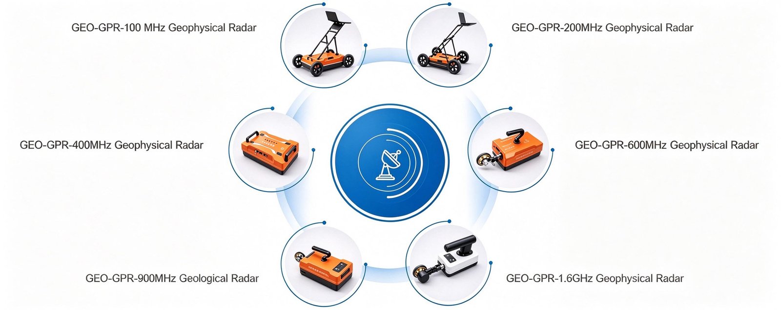
Technical Highlights
- One-operator instrument. Below 6 kg, the 400 MHz antenna is the tipping point at which a GPR survey stops being a two-person job — significant on a lining contract with a crew of two for the whole drive.
- Thickness-grade resolution. Roughly 6 cm at a quarter wavelength in concrete, so lining depth, air-gap beneath a slab and pavement layer boundaries read as separable reflections rather than one thick band.
- Shielded for congested structures. The monostatic shield keeps steel arches, cable trays and rebar mats from flooding the record — the difference between a usable lining profile and a wall of clutter.
- Continuous chainage logging. Distance-triggered acquisition at 350 traces per second ties each trace to chainage, producing a lining profile that can be handed straight to the quality engineer.
Features
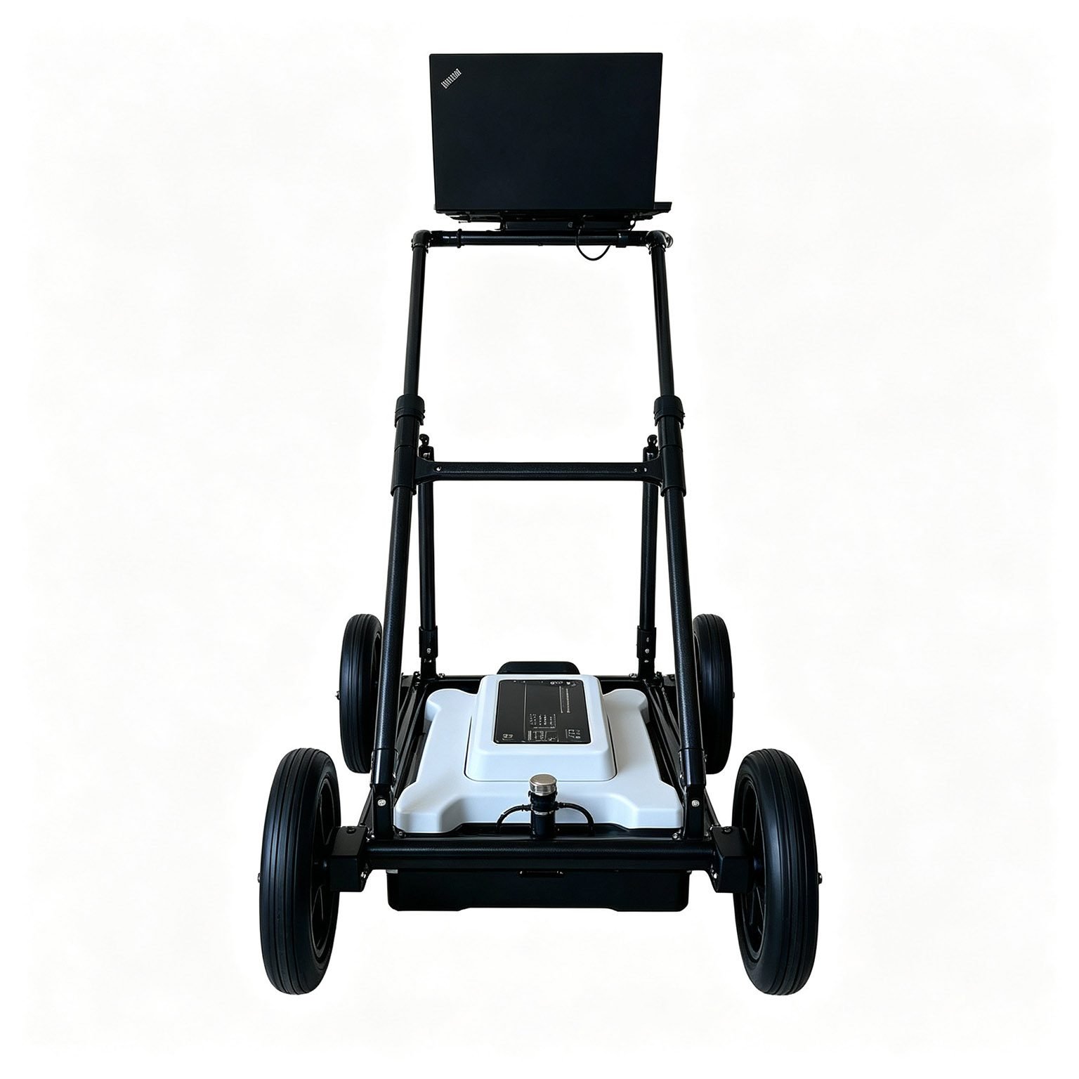
- Antenna, transmitter, receiver and battery in one sealed housing
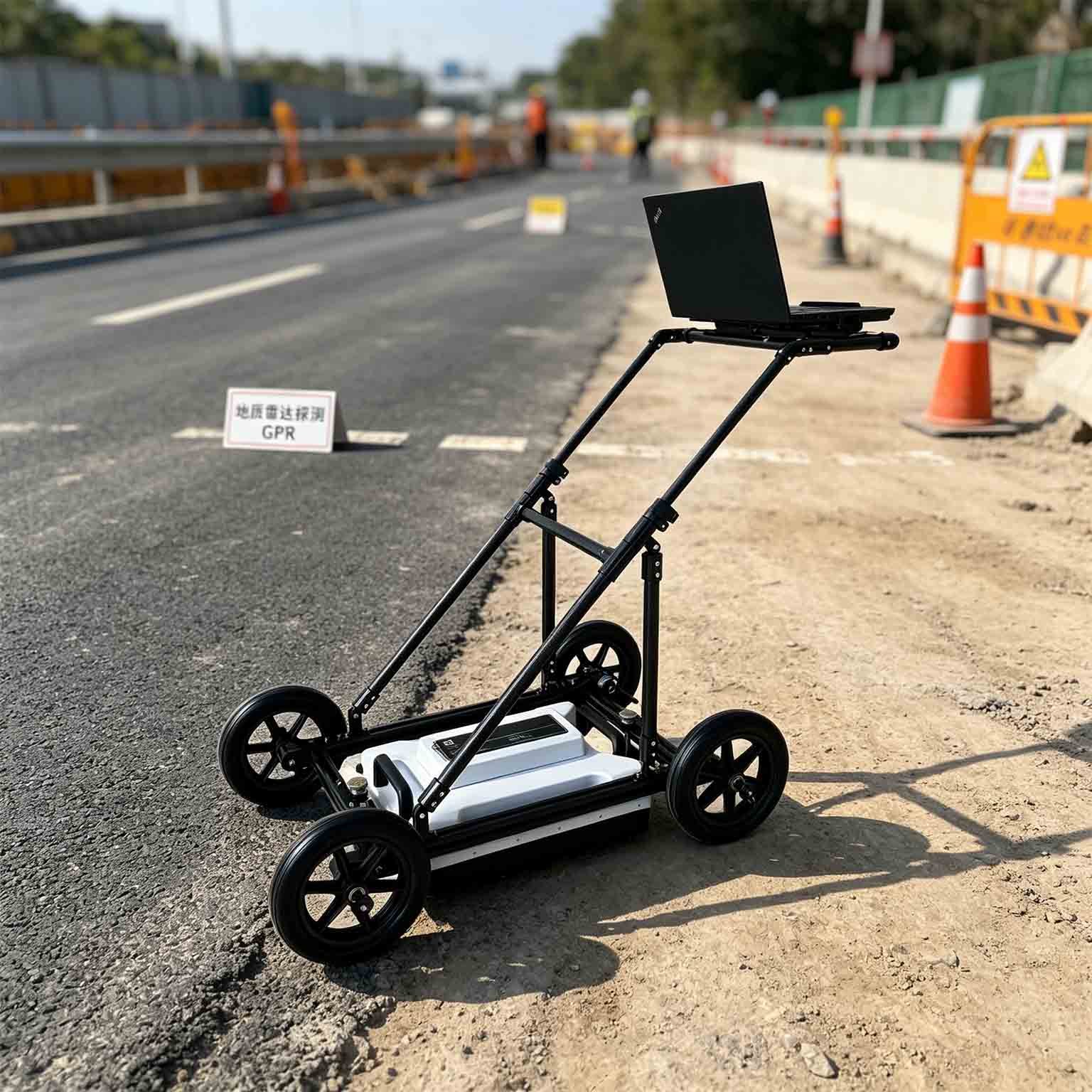
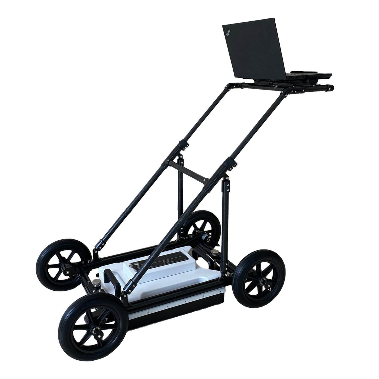
- 5.85 kg — hand-cart push or single-person carry between positions
- ≥8 h internal battery for a full shift without a spare pack
- Wireless control over 50 m, so the operator stays behind the antenna
- Point, distance-trigger, continuous and GNSS-triggered logging
- Real-time pseudo-colour, stacked waveform and grayscale display
- Live filtering and gain with on-trace marking of suspect zones
- Automatic long-profile assembly for chainage-based deliverables
- Same platform accepts every GEO-GPR antenna from 100 MHz to 1.6 GHz
Applications

| Application | What the 400 MHz antenna delivers | Typical depth |
| Tunnel secondary lining inspection | Lining thickness, back-voids, overbreak and water-bearing behind the segments | 0.3–5 m |
| Pavement and airfield layer thickness | Bituminous and concrete layer boundaries for core-free thickness design | 0.1–3 m |
| Slab and sub-base void detection | Air gaps and loosening beneath concrete slabs and floor plates | 0.2–3 m |
| Rebar and tendon mapping at depth | Congestion and cover in thick sections where 900 MHz cannot reach | 0.1–2 m |
| Shallow utility and trench verification | Service depth and backfill compaction immediately after reinstatement | 0.2–3 m |
| Landslide and near-surface stratigraphy | Slip-surface and soil layer boundaries in investigation pits and slopes | 0.5–4 m |
Typical Performance Reference
Vertical resolution ≈ λ/4, λ = c / (f · √εr). Depth bands are guidance; verify by site trial where depth governs the acceptance criterion.
| Medium | εr | Wave velocity | Reference depth band | Vertical resolution |
| Dry sand, gravel, asphalt | 4 | 0.150 m/ns | 3–5 m | ≈9 cm |
| Moist soil, general overburden | 6 | 0.122 m/ns | 2.5–5 m | ≈8 cm |
| Sound limestone, concrete | 9 | 0.100 m/ns | 1.5–3 m | ≈6 cm |
| Wet clay, basalt | 16 | 0.075 m/ns | 1–2 m | ≈5 cm |
| Saturated fine-grained soil | 25 | 0.060 m/ns | 0.5–1.5 m | ≈4 cm |
Specifications
| Parameter | Specification |
| Antenna type | Monostatic shielded antenna |
| Centre frequency | 400 MHz |
| Scan rate | 350 traces/s |
| A/D conversion | 18 / 32 bit |
| Signal-to-noise ratio | Better than 160 dB |
| Maximum detection depth | 5 m |
| Acquisition modes | Point-by-point, distance-triggered, continuous |
| Display modes | Pseudo-colour, stacked waveform, grayscale |
| Continuous operating time | ≥8 h |
| Wireless data range | >50 m |
| Operating voltage | 10–15 V DC |
| Operating temperature | −30 °C to +70 °C |
| Unit weight | 5.85 kg |
| Series compatibility | Full GEO-GPR antenna family, 100 MHz to 1.6 GHz |
Full technical documentation and demonstration data available on request.
 Options & Accessories
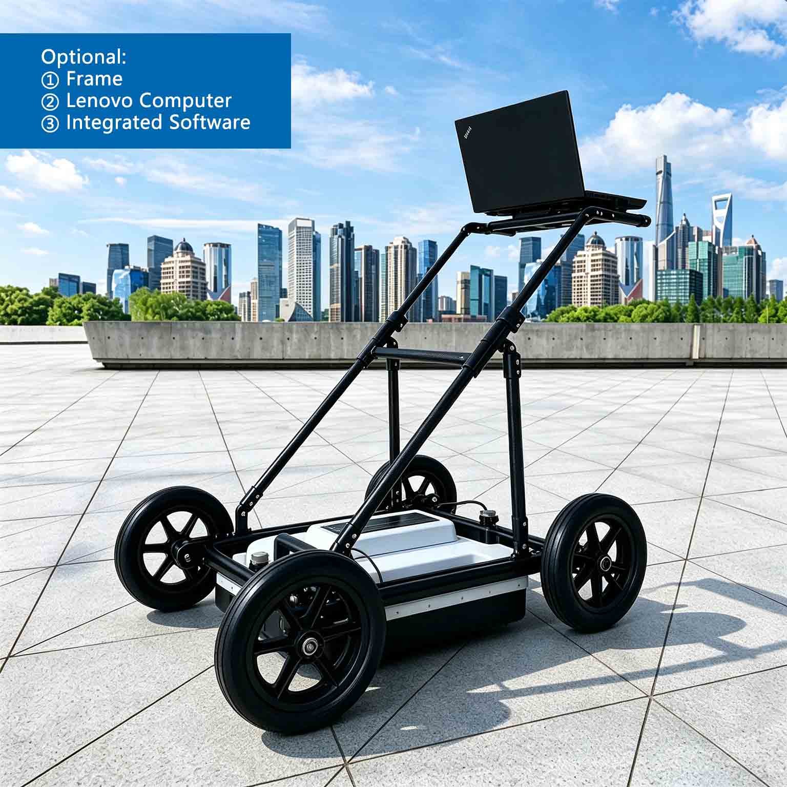
- Vehicle-deck, hand-cart, tunnel-trolley and rail-carriage mounting frames
- High-accuracy GNSS positioning for coordinate-logged survey lines
- Data processing and 2D/3D inversion software package
- Interchangeable GEO-GPR antennas from 100 MHz to 1.6 GHz
- Extended-range battery pack for multi-shift deployments
FAQ
In gravity exploration (SI), what is the unit of gravity? How to convert gravity units between SI and CGS?
① In SI, it is m·s-2, and one percent of it is the international unit abbreviation g.u.;
② Conversion between SI and CGS: 1g.u.=10-1 mGal
What are gravitational field and gravitational potential?
Gravitational field: The space around the earth with gravity is called the gravitational field.
Gravitational potential: The gravitational potential W in the gravitational field is equal to the work done by a particle of unit mass moving from infinity to that point.
What is the normal gravity field of the earth? What are the rules for the change of the normal gravity field with latitude and altitude?
① The normal gravity field of the earth: Assuming that the earth is a rotating ellipsoid (reference plane), the surface is glossy, the internal density is uniform, or it is distributed in concentric layers, the density of each layer is uniform, and the deviation of the shape of the ellipsoid from the geoid is very small, then the gravity field generated by the earth is the normal gravity field.
② The normal gravity value is only related to the latitude, the smallest at the equator and the largest at the poles, with a difference of about 50,000 g.u.; the rate of change of the normal gravity value with latitude is the largest at 45° latitude, and zero at the equator and the poles; the normal gravity value decreases with increasing altitude, and its rate of change is -3.086 g.u.. The main feature of the long-term change is the "westward drift" of the geomagnetic elements, both the dipole field and the non-dipole field drift westward, and have a global nature.
What is the relationship between gravitational field strength and gravitational acceleration?
The gravitational field strength is equal to the gravitational acceleration in both numerical and dimensional terms, and the two are in the same direction. In gravity exploration, all references to gravity refer to gravitational acceleration. The gravitational field strength at a point in space is equal to the gravitational acceleration at that point.
What is gravity exploration?
Gravity exploration is an exploration method that is based on the density difference of rocks and ores. Since density difference will cause local changes in the normal gravity field of the earth (i.e. gravity anomaly), it is used to solve geological problems by observing and studying gravity anomalies.