Welcome to Geotech!



GEO-GPR-900 MHz Single-Frequency Geophysical Radar Series | 900MHz












PRODUCT PARAMETERS
Description
 Abstract
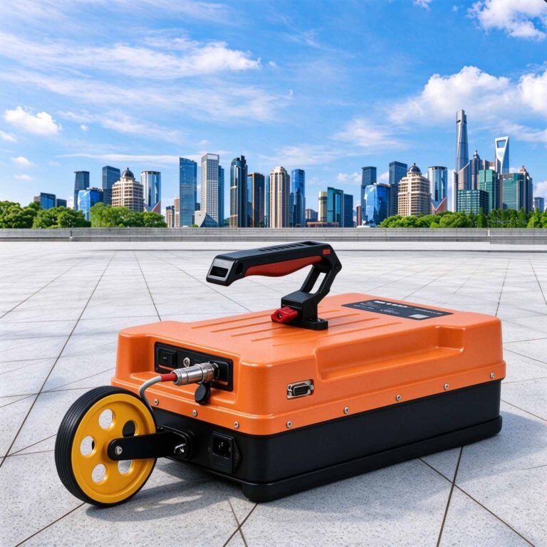
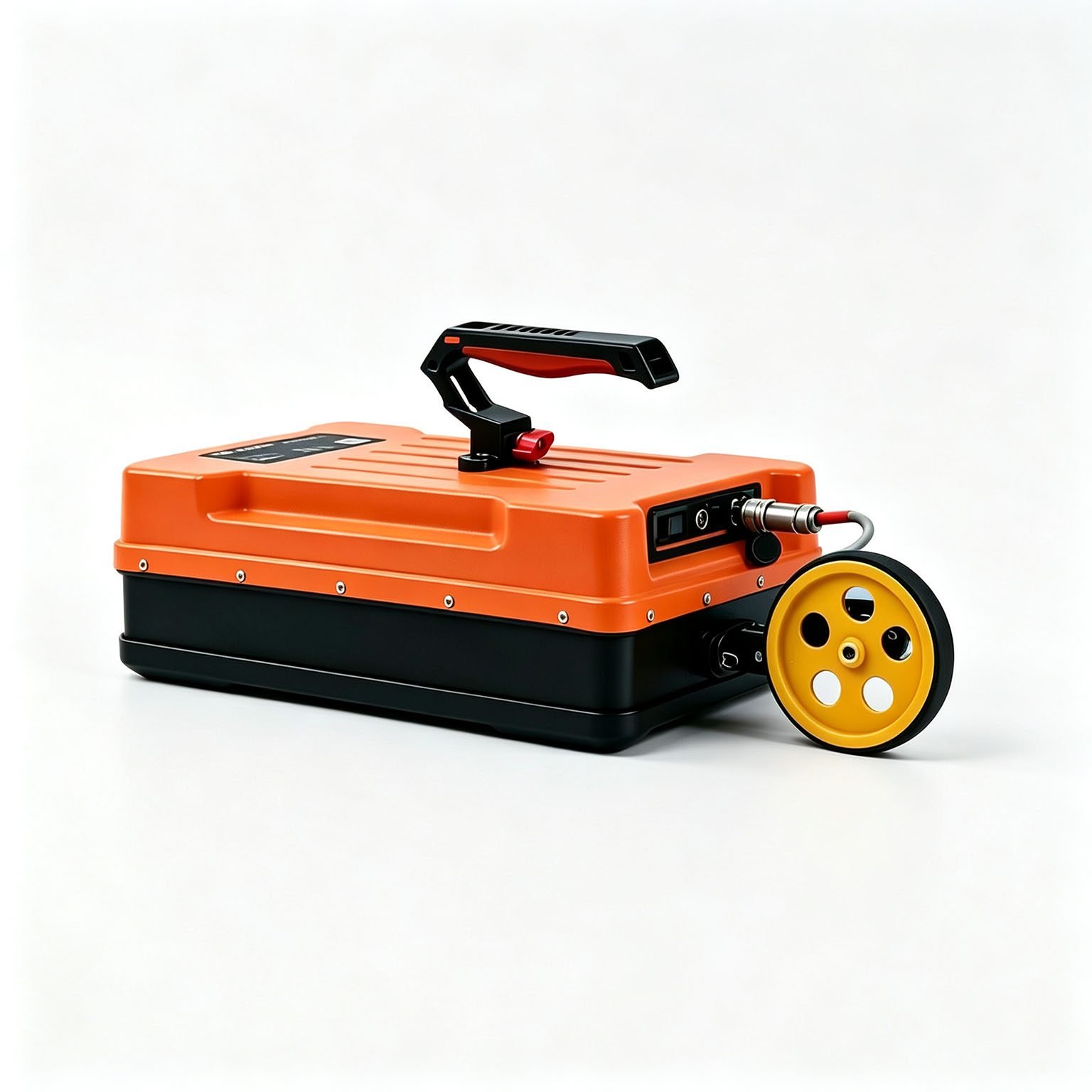
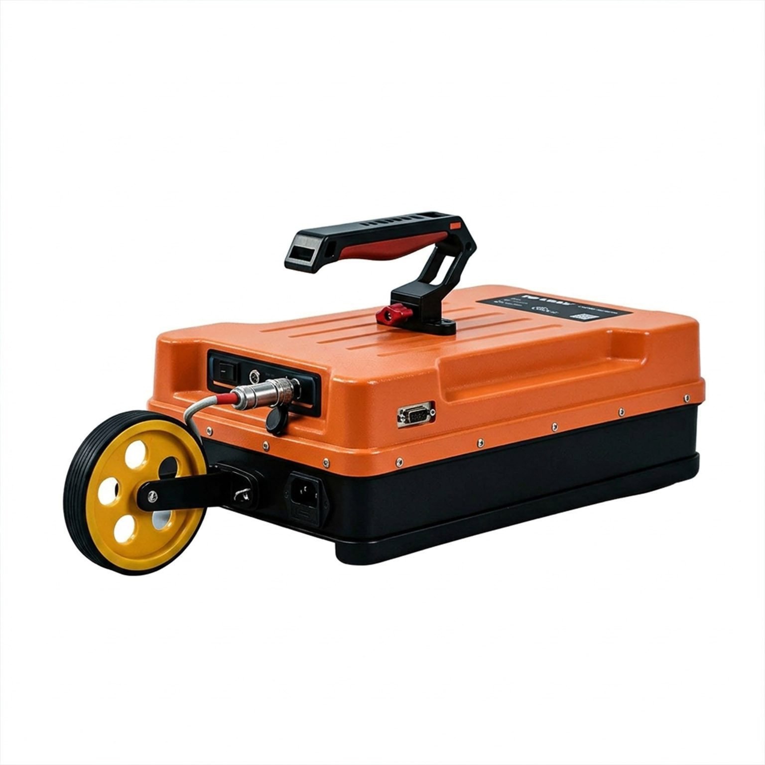
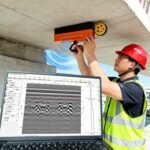
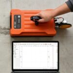
The GEO-GPR-900MHz is the inspection antenna of the range. At 2.25 kg it is carried and swept by hand across a slab, a wall, a precast panel or a floor plate, and its wavelength is short enough to image a single bar, a crack pattern, a void in a grout pocket or the edge of a duct within the top metre of concrete.
This is the frequency you choose when the question is not how deep the ground goes but what is inside this element — and when the answer has to be produced and understood before the crew moves on.
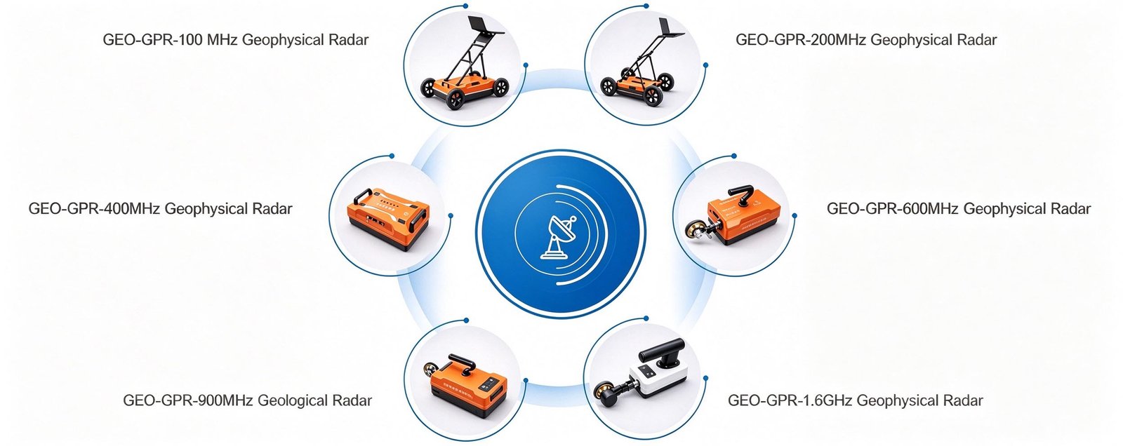
Technical Highlights
- Sub-3 cm detail. Around 2.8 cm quarter-wavelength resolution in concrete — the level needed to separate closely spaced bars, follow a hairline delamination or locate a small grout void.
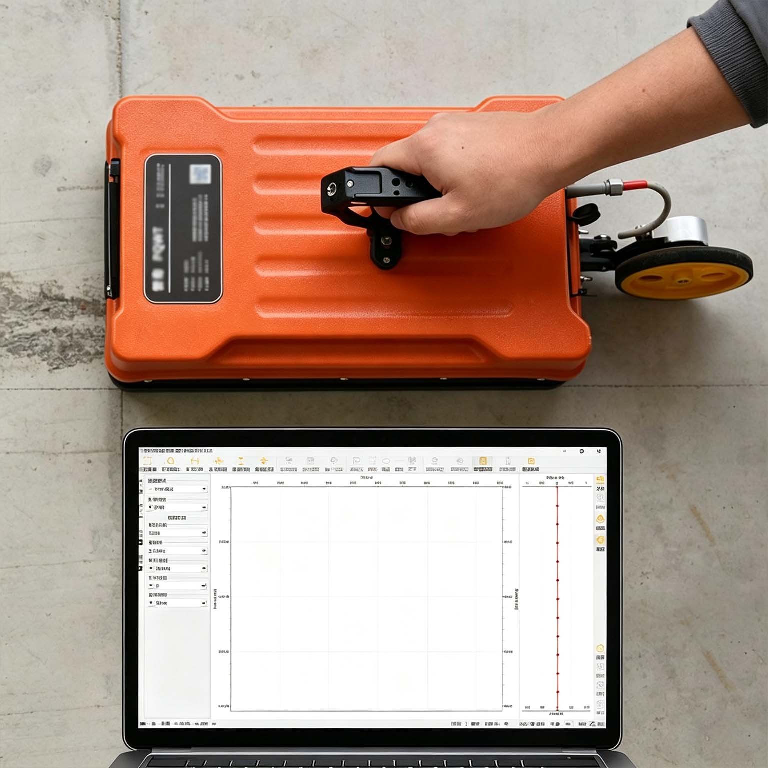
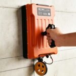
- Genuinely handheld. 2.25 kg with the battery inside means one operator works overhead, vertical and horizontal surfaces without a cart, while the panel streams the profile wirelessly.
- Reads live, decides on site. Real-time pseudo-colour with stacked waveform view means a suspect area is re-scanned before the site is handed back, not after the data reaches the office.
- Shielded for congested sections. The monostatic shield holds the record readable amid rebar, cable tray, conduits and embedded steel plate.
Features
- 2.25 kg hand-carried monostatic shielded antenna, no cart required
- Integrated transmitter, receiver, battery and wireless radio
- ≥8 h continuous operation on the internal pack
- Point, distance-trigger, continuous and GNSS-triggered acquisition
- Live pseudo-colour, grayscale and stacked-waveform display
- On-screen Dewow, band-pass and depth-gain adjustment during sweep
- Trace-level marking so suspect zones can be re-measured in place
- Full GEO-GPR antenna family interchangeable on one receiver platform
Applications

| Application | What the 900 MHz antenna delivers | Typical depth |
| Slab and wall scanning | Bar mesh layout, spacing, embedments and conduit routes | 0.01–0.4 m |
| Delamination and void detection | Air layers under screeds, tiles and repair patches | 0.01–0.3 m |
| Post-tension and grout inspection | Duct position, grout fill and voids inside the duct | 0.02–0.35 m |
| Precast element QA | Internal voids, honeycombing and section thickness in precast panels | 0.03–0.6 m |
| Thin pavement and apron layering | Surfacing thickness and layer boundaries at high density | 0.03–0.5 m |
| Structural and heritage fabric survey | Wall voids, embedded timber, historic interfaces with minimal clearance | 0.02–0.5 m |
Typical Performance Reference
Vertical resolution ≈ λ/4, λ = c / (f · √εr). Depth bands are guidance; confirm on the element under investigation.
| Medium | εr | Wave velocity | Reference depth band | Vertical resolution |
| Dry sand, gravel, asphalt | 4 | 0.150 m/ns | 0.8–1.5 m | ≈4 cm |
| Moist soil, general overburden | 6 | 0.122 m/ns | 0.6–1.2 m | ≈3.4 cm |
| Sound limestone, concrete | 9 | 0.100 m/ns | 0.5–1 m | ≈2.8 cm |
| Wet clay, basalt | 16 | 0.075 m/ns | 0.3–0.8 m | ≈2 cm |
| Saturated fine-grained soil | 25 | 0.060 m/ns | 0.2–0.5 m | ≈1.7 cm |
Specifications
| Parameter | Specification |
| Antenna type | Monostatic shielded antenna |
| Centre frequency | 900 MHz |
| Scan rate | 350 traces/s |
| A/D conversion | 18 / 32 bit |
| Signal-to-noise ratio | Better than 160 dB |
| Maximum detection depth | 1 m |
| Acquisition modes | Point-by-point, distance-triggered, continuous |
| Display modes | Pseudo-colour, stacked waveform, grayscale |
| Continuous operating time | ≥8 h |
| Wireless data range | >50 m |
| Operating voltage | 10–15 V DC |
| Operating temperature | −30 °C to +70 °C |
| Unit weight | 2.25 kg |
| Series compatibility | Full GEO-GPR antenna family, 100 MHz to 1.6 GHz |
Full technical documentation and demonstration data available on request.
 Options & Accessories
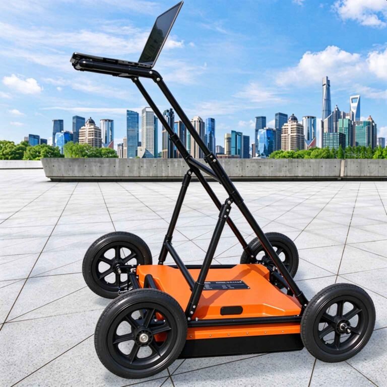
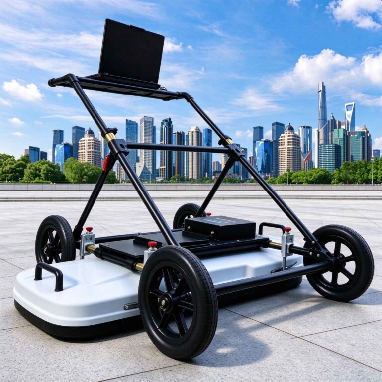
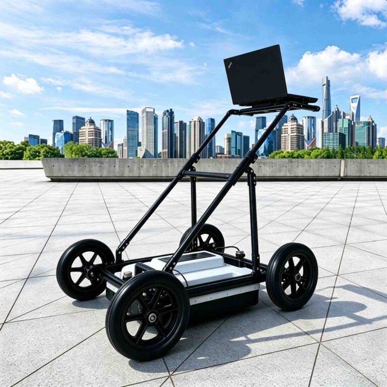
- Vehicle-deck, hand-cart, tunnel-trolley and rail-carriage mounting frames
- High-accuracy GNSS positioning for coordinate-logged survey lines
- Data processing and 2D/3D inversion software package
- Interchangeable GEO-GPR antennas from 100 MHz to 1.6 GHz
- Extended-range battery pack for multi-shift deployments
FAQ
In gravity exploration (SI), what is the unit of gravity? How to convert gravity units between SI and CGS?
① In SI, it is m·s-2, and one percent of it is the international unit abbreviation g.u.;
② Conversion between SI and CGS: 1g.u.=10-1 mGal
What are gravitational field and gravitational potential?
Gravitational field: The space around the earth with gravity is called the gravitational field.
Gravitational potential: The gravitational potential W in the gravitational field is equal to the work done by a particle of unit mass moving from infinity to that point.
What is the normal gravity field of the earth? What are the rules for the change of the normal gravity field with latitude and altitude?
① The normal gravity field of the earth: Assuming that the earth is a rotating ellipsoid (reference plane), the surface is glossy, the internal density is uniform, or it is distributed in concentric layers, the density of each layer is uniform, and the deviation of the shape of the ellipsoid from the geoid is very small, then the gravity field generated by the earth is the normal gravity field.
② The normal gravity value is only related to the latitude, the smallest at the equator and the largest at the poles, with a difference of about 50,000 g.u.; the rate of change of the normal gravity value with latitude is the largest at 45° latitude, and zero at the equator and the poles; the normal gravity value decreases with increasing altitude, and its rate of change is -3.086 g.u.. The main feature of the long-term change is the "westward drift" of the geomagnetic elements, both the dipole field and the non-dipole field drift westward, and have a global nature.
What is the relationship between gravitational field strength and gravitational acceleration?
The gravitational field strength is equal to the gravitational acceleration in both numerical and dimensional terms, and the two are in the same direction. In gravity exploration, all references to gravity refer to gravitational acceleration. The gravitational field strength at a point in space is equal to the gravitational acceleration at that point.
What is gravity exploration?
Gravity exploration is an exploration method that is based on the density difference of rocks and ores. Since density difference will cause local changes in the normal gravity field of the earth (i.e. gravity anomaly), it is used to solve geological problems by observing and studying gravity anomalies.