Welcome to Geotech!
-1.png)


Magnetic Gradient Surveying in Engineering Geology: Application Guide
TIPS: Magnetic gradient surveying is key in engineering geology. It enables subsurface structure detection, foundation exploration, and geological hazards assessment using engineering geophysical instruments. Discover its applications in this guide.
Ⅰ. Introduction to Magnetic Gradient Surveying in Engineering Geology
Magnetic gradient surveying is a powerful geophysical technique with significant applications in engineering geology. In the context of engineering projects, understanding the subsurface geological conditions is crucial for ensuring the stability and safety of structures. Magnetic gradient surveying, as a non – invasive method, helps in mapping subsurface structures and assessing geological hazards.
Engineering geology involves the application of geological principles to engineering projects, and magnetic gradient surveying provides valuable data for this purpose. By measuring the spatial changes in the Earth’s magnetic field, it can reveal information about the distribution of magnetic materials underground, which is related to various geological features.
Ⅱ. Magnetic Gradient Surveying for Engineering Geology
2.1 Magnetometry for Gradient Measurement in Engineering
Magnetic gradient surveying, also known as magnetometry for engineering geology (gradient measurement in engineering), is based on the principle of detecting variations in the magnetic field gradient. In engineering geology, this technique is used to identify subsurface structures such as faults, fractures, and different rock types.
For example, in a construction project site, magnetic gradient surveying can detect the presence of buried faults. Faults often cause changes in the magnetic properties of the surrounding rocks, and the gradient survey can pick up these changes. This information is vital for engineers as it helps in designing foundations and structures that can withstand potential geological movements associated with faults.
2.2 Gradient Measurement in Engineering Geology
Gradient measurement in engineering geology using magnetic gradient surveying is a precise process. The equipment measures the difference in magnetic field strength over a short distance, which is the gradient. This gradient data can be processed to create maps of the subsurface magnetic properties.
In areas with complex geological conditions, such as mountainous regions or areas with glacial deposits, gradient measurement can help in distinguishing between different geological units. By analyzing the magnetic gradient patterns, geologists and engineers can gain insights into the subsurface structure and its potential impact on engineering projects.
Ⅲ. Subsurface Structure Detection with Magnetic Gradient Surveying
3.1 Underground Formation Discovery
Subsurface structure detection (underground formation discovery) is one of the primary applications of magnetic gradient surveying in engineering geology. The technique can detect various underground formations, including buried valleys, caves, and mineral deposits (if they have magnetic properties).
For instance, in the exploration for a suitable site for a large – scale infrastructure project like a dam, magnetic gradient surveying can be used to detect the presence of underground caves. Caves can pose a significant risk to the stability of the dam, and early detection through gradient surveying allows for appropriate mitigation measures to be taken.
3.2 Below – Ground Structure Identification
Below – ground structure identification using magnetic gradient surveying involves interpreting the gradient data to determine the nature of subsurface structures. Different geological structures have distinct magnetic signatures, and by analyzing these signatures, engineers can identify the type and extent of subsurface features.
In urban engineering geology projects, such as the construction of tunnels or underground railways, below – ground structure identification is crucial. Magnetic gradient surveying can help in mapping the subsurface to avoid existing structures and to understand the geological conditions that may affect the construction process.
Ⅳ. Foundation Exploration Techniques with Magnetic Gradient Surveying
4.1 Base Investigation Methods for Foundations
Foundation exploration techniques (base investigation methods) in engineering geology often incorporate magnetic gradient surveying. Before constructing a building or any large structure, it is essential to understand the subsurface conditions to design a proper foundation.
Magnetic gradient surveying can be used as a preliminary investigation method to identify potential issues such as unstable soil layers or the presence of buried objects that may affect the foundation. This helps in reducing the risk of foundation failure and ensures the long – term stability of the structure.
4.2 Foundation Study Approaches Using Gradient Surveying
Foundation study approaches using magnetic gradient surveying involve a combination of field measurements and data analysis. The survey data is used to create a 3D model of the subsurface, which helps engineers in designing the foundation.
For example, in the construction of a high – rise building in an area with unknown subsurface conditions, magnetic gradient surveying can provide information about the depth and nature of the bedrock. This information is used to design the foundation piles or footings to ensure they are properly supported by the underlying geology.
Ⅴ. Geological Hazards Assessment with Magnetic Gradient Surveying
5.1 Earth Risks Assessment in Engineering Geology
Geological hazards assessment (earth risks assessment) is a critical aspect of engineering geology, and magnetic gradient surveying plays a role in this process. Geological hazards such as landslides, earthquakes, and soil liquefaction can be related to subsurface geological conditions.
Magnetic gradient surveying can detect subsurface features that may contribute to these hazards. For example, in an area prone to landslides, the survey can detect the presence of weak geological layers or fault zones that may trigger landslides. This information is used to assess the risk and design appropriate mitigation measures.
5.2 Geological Danger Analysis Using Gradient Data
Geological danger analysis using gradient data involves analyzing the magnetic gradient survey results to identify potential geological hazards. The gradient data can reveal the presence of unstable geological structures or materials that may pose a danger to engineering projects.
In regions with active fault lines, magnetic gradient surveying can help in mapping the fault zones and assessing the potential for seismic activity. This information is used in the design of earthquake – resistant structures and in developing emergency response plans for geological hazards.
Ⅵ. Engineering Geophysical Instruments for Magnetic Gradient Surveying
6.1 Tools for Engineering Geophysics in Gradient Surveying
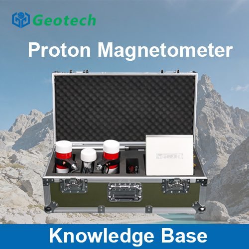
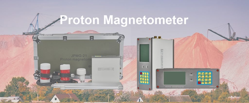
Engineering geophysical instruments (tools for engineering geophysics) used in magnetic gradient surveying are specialized devices designed to measure the magnetic field gradient accurately. These instruments include proton precession magnetometers, fluxgate magnetometers, and gradiometers.
Gradiometers, in particular, are designed to measure the magnetic gradient directly. They consist of two or more magnetometers separated by a fixed distance, and the difference in magnetic field strength between these sensors is used to calculate the gradient. These instruments are essential for conducting accurate magnetic gradient surveys in engineering geology projects.
6.2 Devices in Engineering Geology Survey for Gradient Measurement
Devices in engineering geology survey for gradient measurement are selected based on the specific requirements of the project. For example, in a small – scale engineering project with limited access, a portable gradiometer may be used. In large – scale projects, more advanced and sensitive instruments may be deployed.
The choice of device also depends on the geological conditions of the survey area. In areas with high magnetic noise, such as near industrial areas or power lines, more sophisticated instruments with noise – canceling capabilities may be required to obtain accurate gradient data.
Ⅶ. Advantages and Limitations of Magnetic Gradient Surveying in Engineering Geology
7.1 Advantages of Magnetic Gradient Surveying
One of the main advantages of magnetic gradient surveying in engineering geology is its non – invasive nature. It allows for subsurface investigation without the need for extensive drilling or excavation, reducing costs and minimizing environmental impact.
Another advantage is its ability to cover large areas relatively quickly. This makes it suitable for preliminary site investigations for large – scale engineering projects. Additionally, magnetic gradient surveying can detect subsurface features that may not be visible through other geophysical methods, providing a more comprehensive understanding of the subsurface geology.
7.2 Limitations and Challenges
However, magnetic gradient surveying also has some limitations. The results are dependent on the magnetic properties of the subsurface materials, so it may not be effective in areas with non – magnetic geology. For example, in areas with predominantly sedimentary rocks that have low magnetic susceptibility, the survey may not provide useful information.
Another challenge is the interpretation of the gradient data. The magnetic signatures of subsurface structures can be complex and may be affected by various factors, such as cultural noise (from human – made structures) and natural magnetic variations. Skilled interpretation by experienced geophysicists and engineers is required to accurately identify subsurface features and assess geological hazards.
Ⅷ. Case Studies of Magnetic Gradient Surveying in Engineering Geology
8.1 Case Study 1: Dam Construction Site Investigation
In a dam construction project in a mountainous region, magnetic gradient surveying was used to investigate the subsurface geology. The survey detected the presence of a buried fault zone that could potentially affect the stability of the dam. Based on this information, the engineering team redesigned the dam foundation to avoid the fault zone and implemented additional monitoring measures to ensure the long – term stability of the structure.
8.2 Case Study 2: Urban Tunnel Construction
In an urban tunnel construction project, magnetic gradient surveying was used to map the subsurface structures. The survey identified the presence of old buried foundations and utility lines, which were avoided during the tunnel excavation. This prevented potential damage to existing infrastructure and ensured the safe construction of the tunnel.
Reference
- WIKI:https://en.wikipedia.org/wiki/Electrical_resistivity_tomography
- Society of Exploration Geophysicists (SEG) https://seg.org/
- Society of Environmental and Engineering Geophysicists (EEGS) https://www.eegs.org/
- Geology and Equipment Branch of China Mining Association http://www.chinamining.org.cn/
- International Union of Geological Sciences (IUGS) http://www.iugs.org/
- European Geological Survey Union (Eurogeosurveys) https://www.eurogeosurveys.org/