Welcome to Geotech!



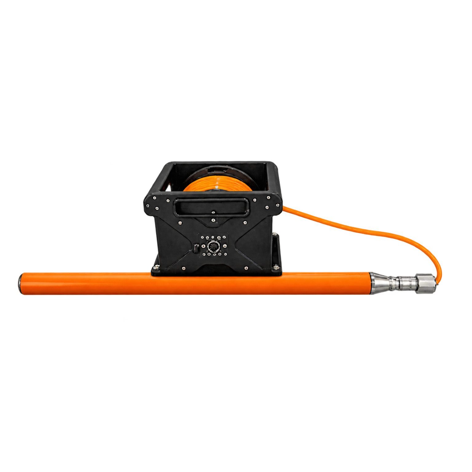
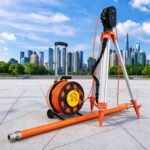
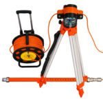
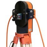
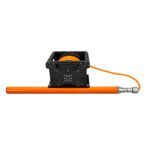
Borehole Drilling Geophysical Ground Penetrating Radar丨GEO‑GPR‑BRD



PRODUCT PARAMETERS
Description
 Abstract
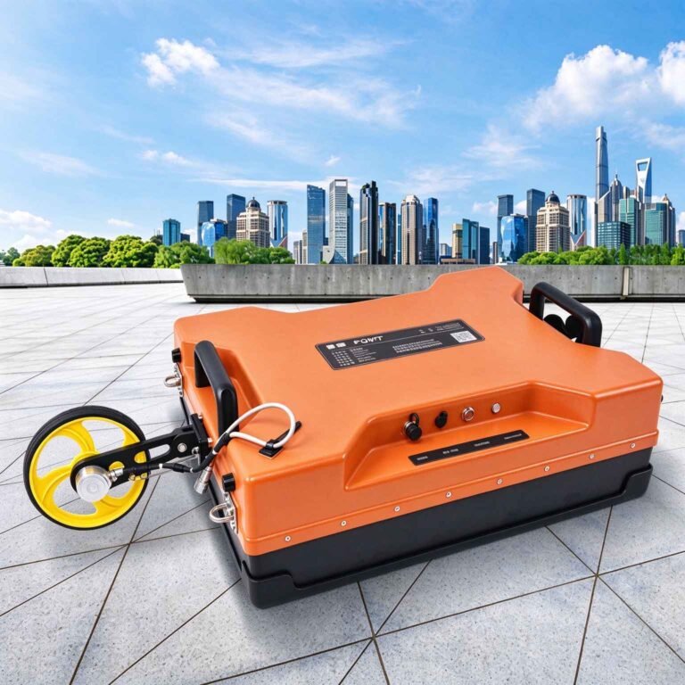
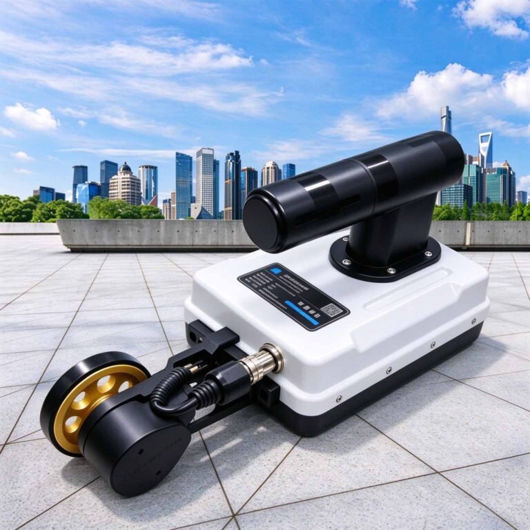
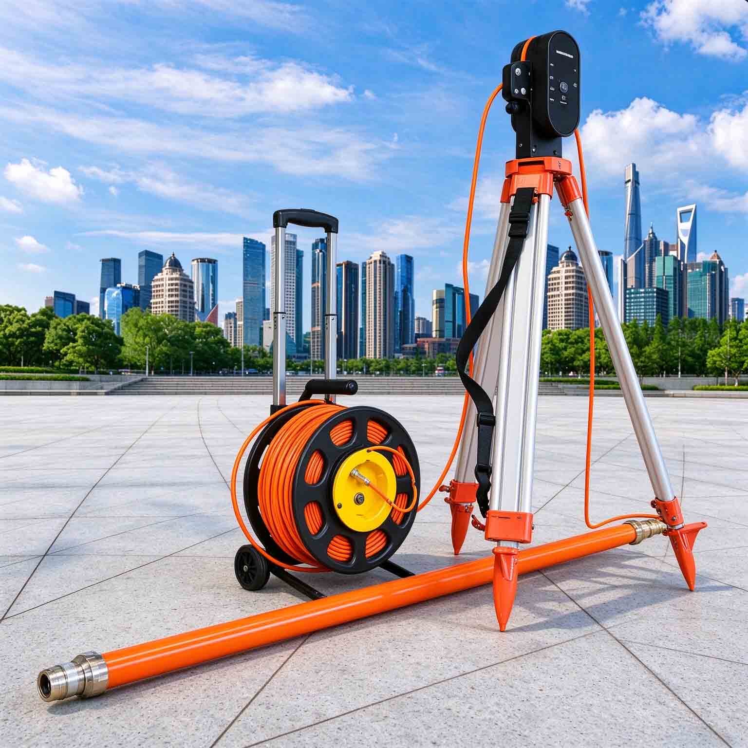
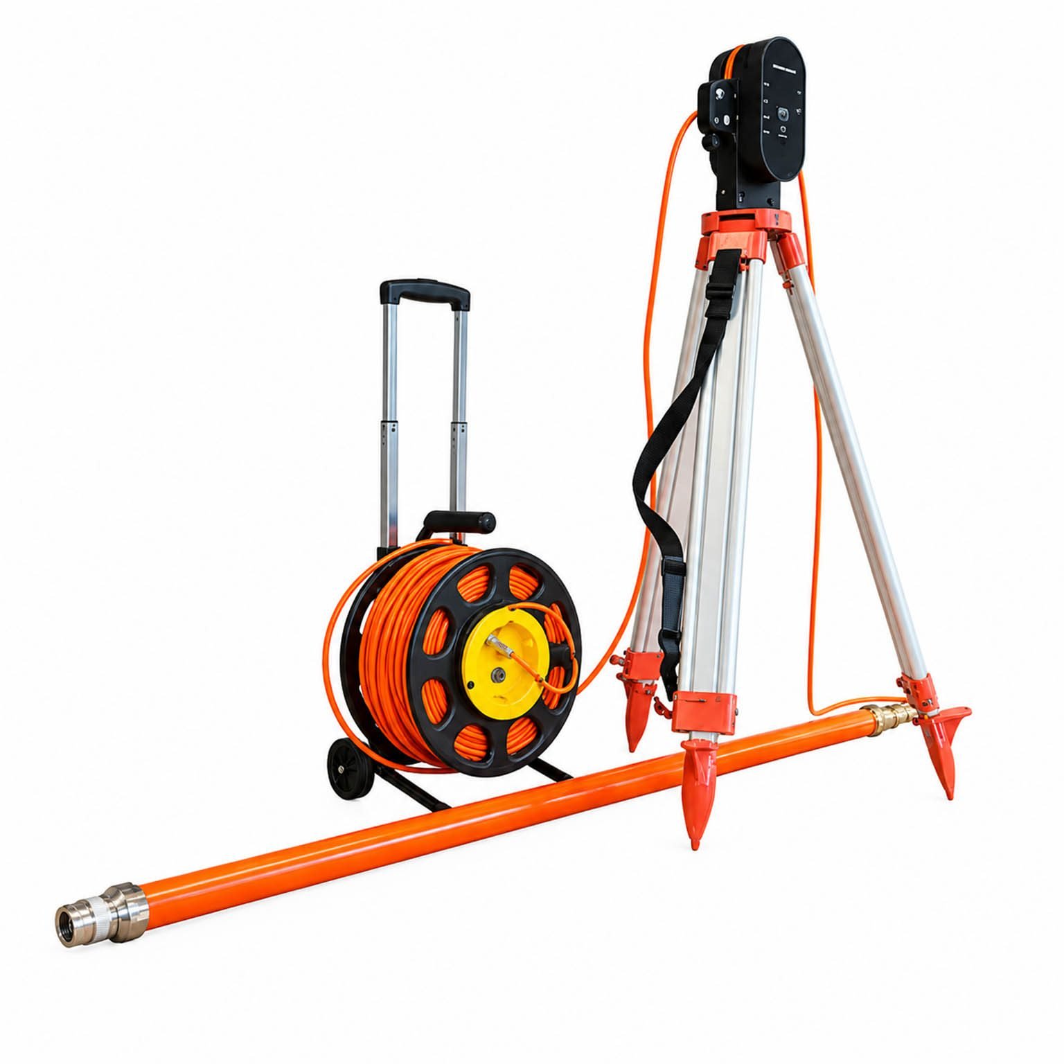
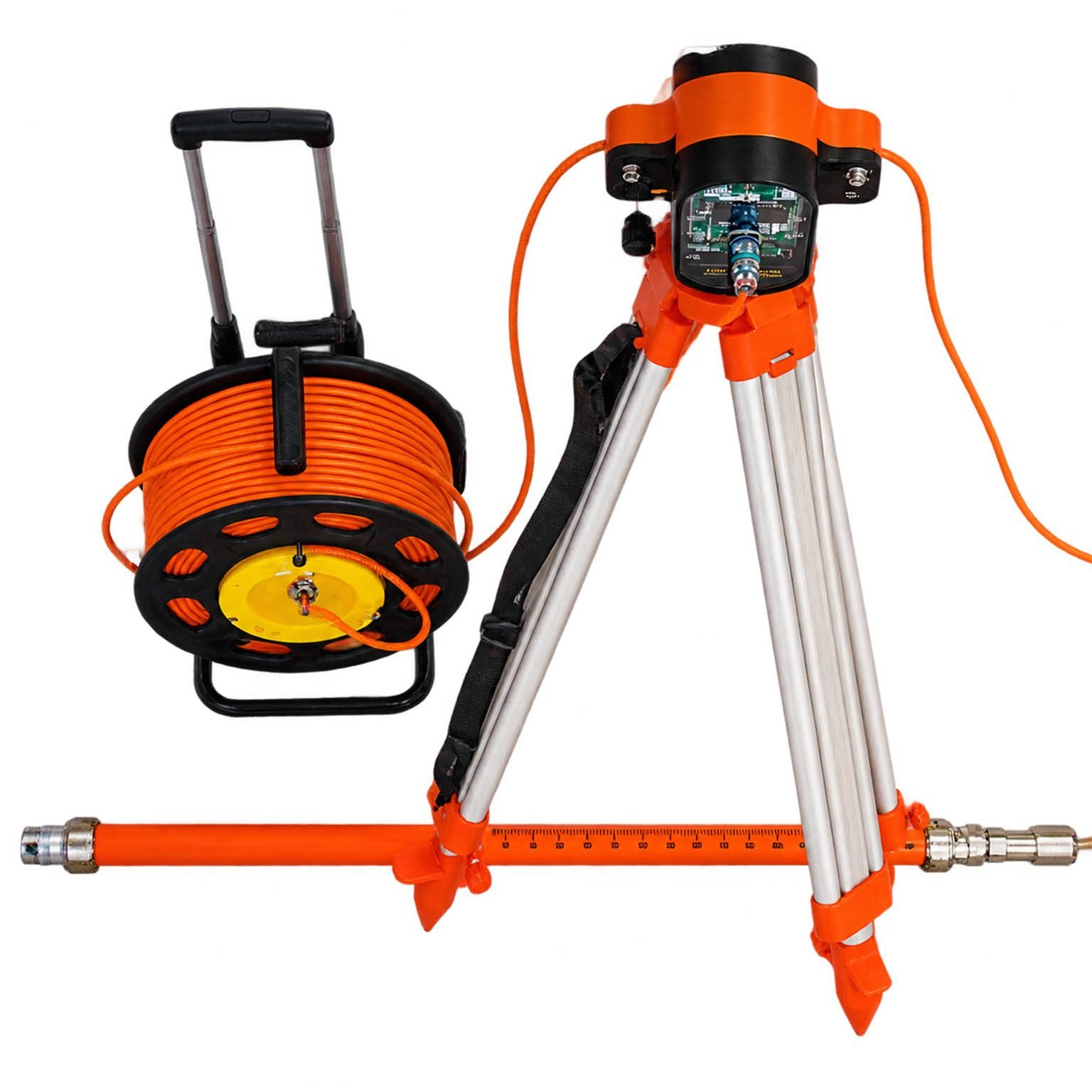
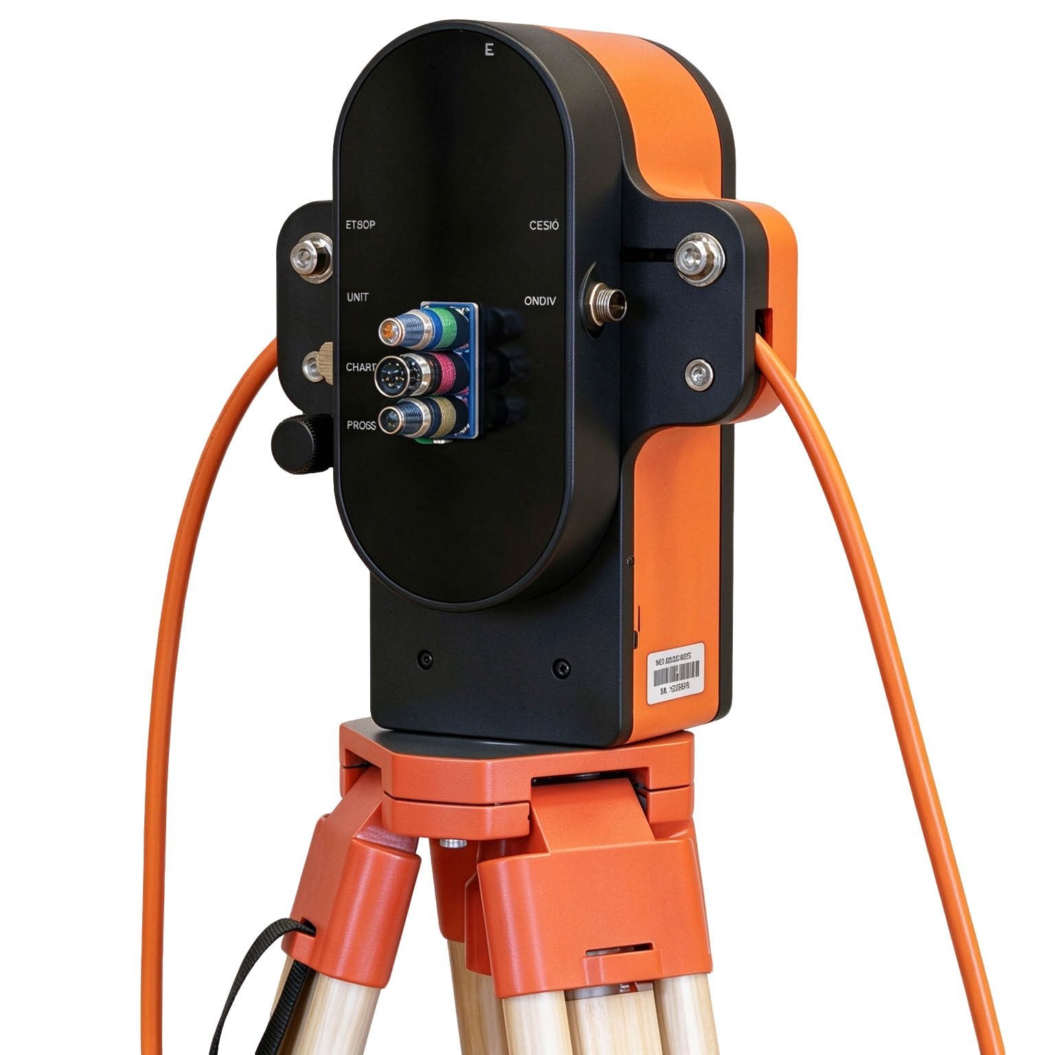
GEO-GPR-BRD is designed for in-borehole surveying with single-hole and cross-hole modes, omnidirectional/directional switching, and dry/wet/vertical/horizontal boreholes from only 50 mm, reaching about 15 m radius.
Technical Highlights
- 15 m radius:Approx. 15 m at 100 MHz, customizable
- 50 mm borehole: Compatible with small-diameter holes
- IP68 probe: Dry, wet, vertical & horizontal holes
Features
- High resolution: Ultra-wideband (UWB) technology enhances thin-layer recognition
- Directional antenna: Customizable 200 MHz / 400 MHz with adjustable beam angle
- All-digital receiver: High sensitivity and dynamic range, real-time signal processing
- Dual-mode switching: Omnidirectional/directional; dry, wet, vertical and horizontal holes
- Small boreholes: Minimum borehole diameter of only 50 mm
- Trajectory positioning: Integrated inclination & azimuth measurement for spatial accuracy
Applications

- Tunnel engineering:Lining, laying quality inspection, outstrip early report, inverted arch quality inspection, etc
- Road engineering:Structure layer thickness inspection, cracks inspection and roadbed fail and harm inspection, etc
- Water conservancy engineering:Water source research, ice layer detection and water bottom structure detection, etc
- Bridge engineering:Concrete iron fix position, steel twist wire fix position, concrete fail and harm inspection, etc
- Civil engineering:Pipeline fix position, road cavity inspection and road structure inspection, etc
- Geology survey:Rock melt detection, frozen earth detection and stratum form detection, etc
- Military:UXO detection, underground defense works detection and life detection, etc
- Archaeology:Historic ruins detection imaging and guide digging etc
Specifications
| Antenna Center Frequency | 100–900 MHz (center frequency customizable on request) | Communication Interface | Wireless communication, with optional wired connectivity |
| Continuous Operating Time | ≥8h | Weight | ≤7kg |
| Data Acquisition Modes | Point-by-point, distance-triggered, continuous acquisition; built-in data storage | Penetration Depth Range | 0-15m |
| Operating Temperature | -30℃~+70℃ | Dimensions | Diameter: φ45 – φ80 mm; Length: 1500 – 2000 mm |
| IP Rating | IP68 | Operating Environment | Suitable for horizontal, vertical, wet and dry boreholes |
FAQ
In gravity exploration (SI), what is the unit of gravity? How to convert gravity units between SI and CGS?
① In SI, it is m·s-2, and one percent of it is the international unit abbreviation g.u.;
② Conversion between SI and CGS: 1g.u.=10-1 mGal
What are gravitational field and gravitational potential?
Gravitational field: The space around the earth with gravity is called the gravitational field.
Gravitational potential: The gravitational potential W in the gravitational field is equal to the work done by a particle of unit mass moving from infinity to that point.
What is the normal gravity field of the earth? What are the rules for the change of the normal gravity field with latitude and altitude?
① The normal gravity field of the earth: Assuming that the earth is a rotating ellipsoid (reference plane), the surface is glossy, the internal density is uniform, or it is distributed in concentric layers, the density of each layer is uniform, and the deviation of the shape of the ellipsoid from the geoid is very small, then the gravity field generated by the earth is the normal gravity field.
② The normal gravity value is only related to the latitude, the smallest at the equator and the largest at the poles, with a difference of about 50,000 g.u.; the rate of change of the normal gravity value with latitude is the largest at 45° latitude, and zero at the equator and the poles; the normal gravity value decreases with increasing altitude, and its rate of change is -3.086 g.u.. The main feature of the long-term change is the "westward drift" of the geomagnetic elements, both the dipole field and the non-dipole field drift westward, and have a global nature.
What is the relationship between gravitational field strength and gravitational acceleration?
The gravitational field strength is equal to the gravitational acceleration in both numerical and dimensional terms, and the two are in the same direction. In gravity exploration, all references to gravity refer to gravitational acceleration. The gravitational field strength at a point in space is equal to the gravitational acceleration at that point.
What is gravity exploration?
Gravity exploration is an exploration method that is based on the density difference of rocks and ores. Since density difference will cause local changes in the normal gravity field of the earth (i.e. gravity anomaly), it is used to solve geological problems by observing and studying gravity anomalies.