Welcome to Geotech!



Unshielded Ultra‑Wideband Deep Penetration Geological Ground Penetrating Radar丨GEO‑GPR‑U


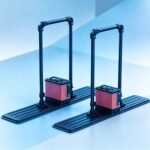
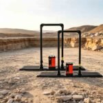
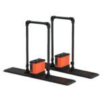
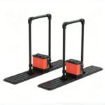
PRODUCT PARAMETERS
Description
 Abstract
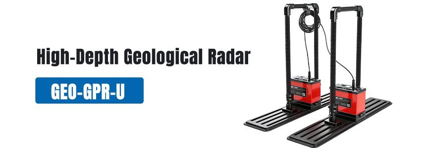
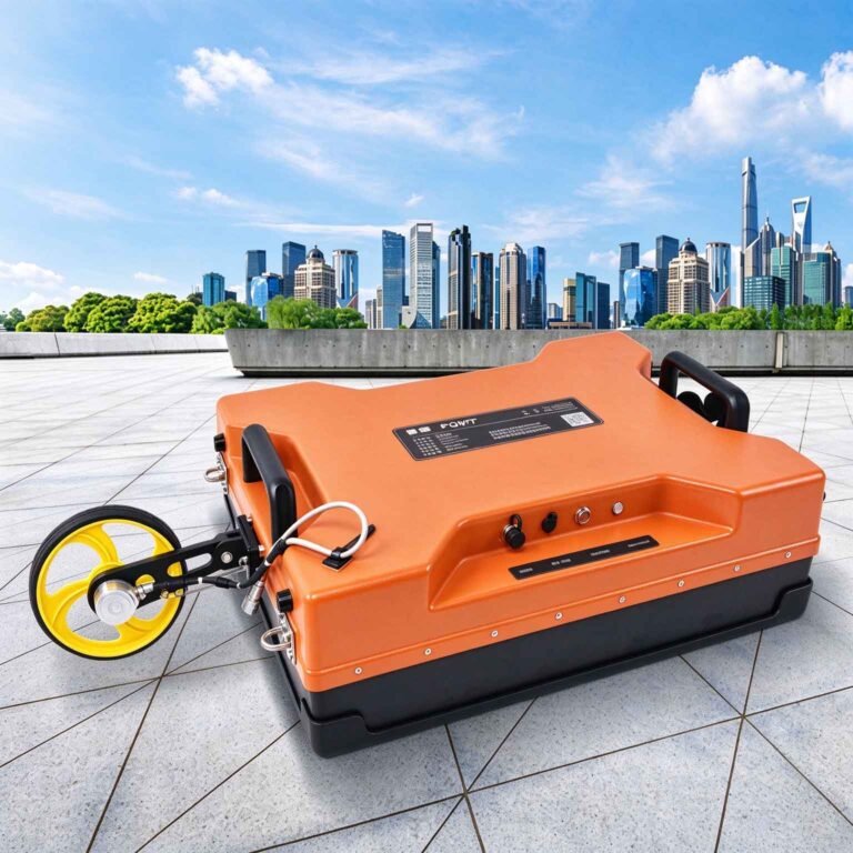
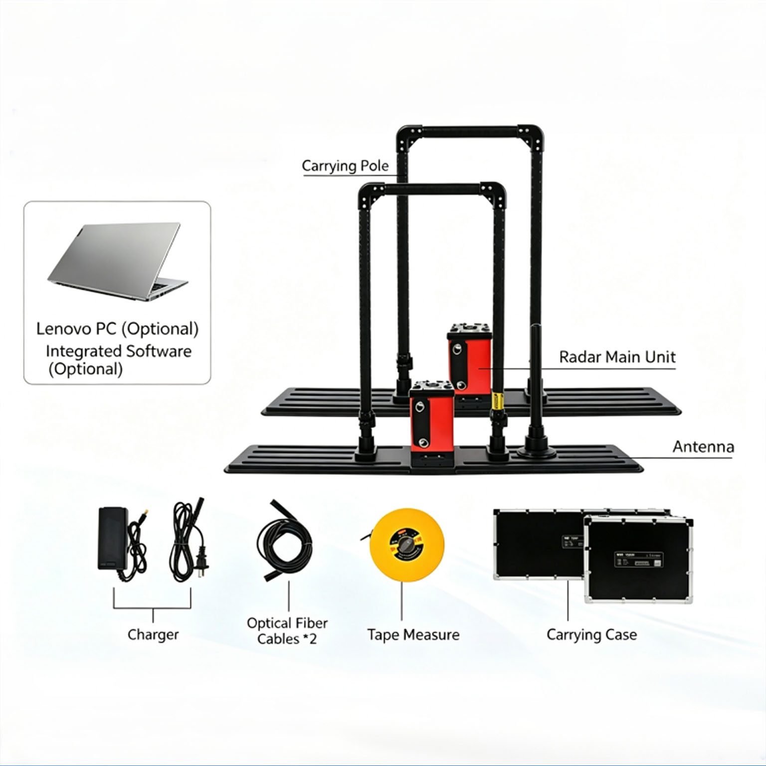
The GEO-GPR-U is an unshielded ultra-wideband deep-penetrating geological radar series, purpose-built for deep subsurface detection up to 80 m. It uses a single shared main unit compatible with four antenna frequencies (12.5 / 25 / 50 / 100 MHz), delivering 20–50% greater detection depth than conventional GPR at the same frequency.
Its self-developed high-power pulse source and high-sensitivity large-dynamic-range receiver ensure high-fidelity raw data and stable frequency response. It is widely deployed for deep geological hazard investigation, tunnel advance forecasting, deep pipeline mapping and large-scale geotechnical surveys.
Technical Highlights
- 20–50% deeper penetration than equivalent-frequency GPR. Low-tail ultra-wideband antenna design paired with optimized pulse source extends effective depth by 20 to 50 percent against conventional radar; the 12.5 MHz antenna reaches 0–80 m in dry hard rock.
- One shared main unit for all four frequencies. A single host drives 100 / 50 / 25 / 12.5 MHz antennas with plug-and-play switching. No separate host hardware is required for different depth targets, lowering total system investment.
- High-fidelity data acquisition. Self-developed high-power pulse generation and large-dynamic-range receiver deliver excellent raw data quality, stable frequency response and higher detection accuracy for deep weak signals.
- Rugged for extreme field conditions. Total power consumption under 15 W, ≥8 hours of continuous battery operation, and −30 °C to +70 °C operating range adapt to alpine, plateau and cold-region long-duration field work.
Features
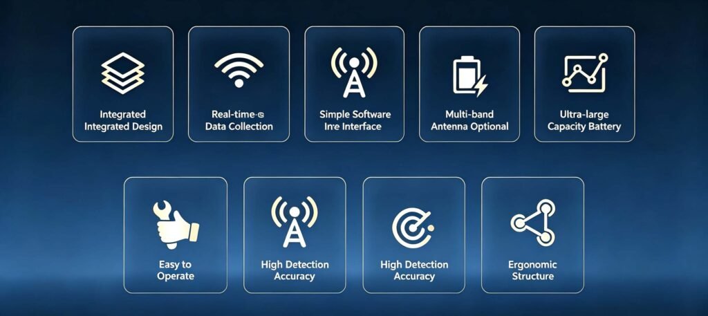
- Unshielded ultra-wideband antenna, 12.5 / 25 / 50 / 100 MHz center frequencies (customizable)
- Shared main unit across all antenna models — plug-and-play frequency switching
- 100–1000 V adjustable transmission voltage for different geological conditions
- High-sensitivity large-dynamic-range receiver for improved deep-target accuracy
- Minimum sampling interval ≤10 ps, up to 65535 stack counts
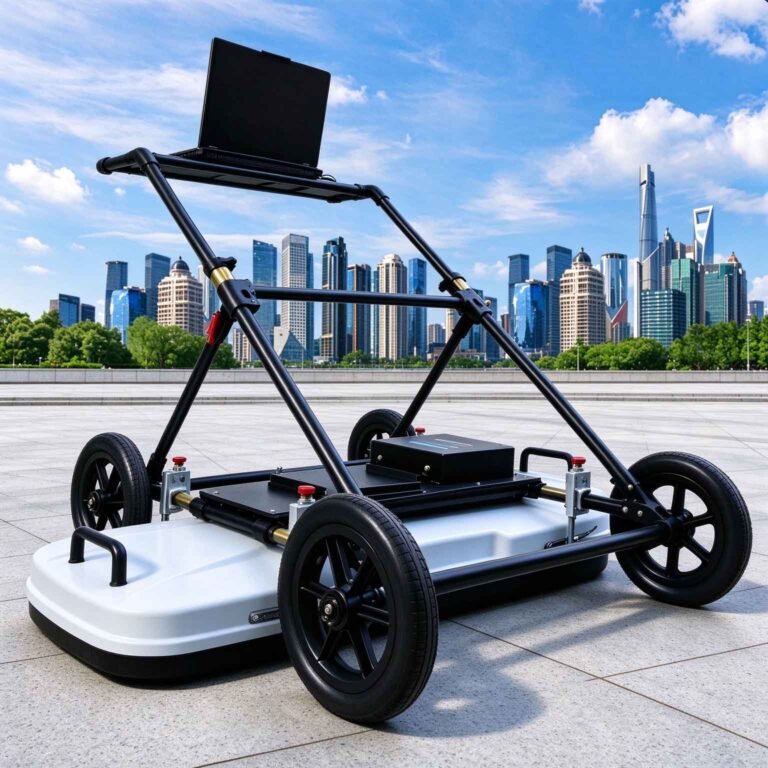
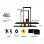
- Real-time onboard imaging with instant profile display on tablet control unit
- Point-by-point, distance-triggered and continuous acquisition modes
- Pseudo-colour, stacked-waveform and grayscale display options
- ≥8 h continuous operation on internal battery
- −30 °C to +70 °C operating range for extreme field environments
- Wireless data link of at least 50 m to the control unit
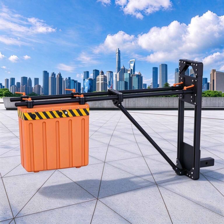
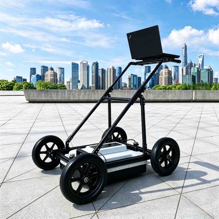
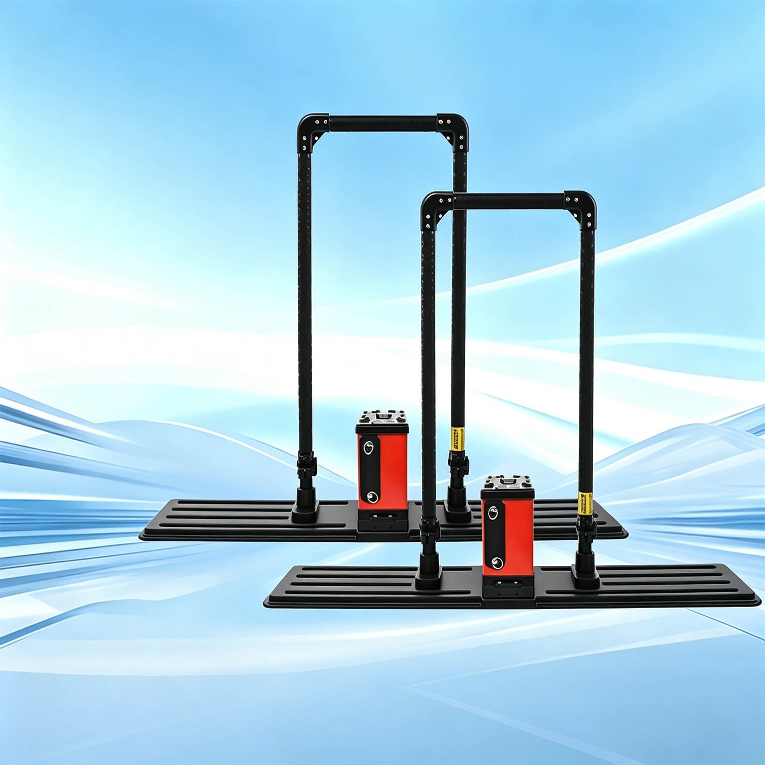
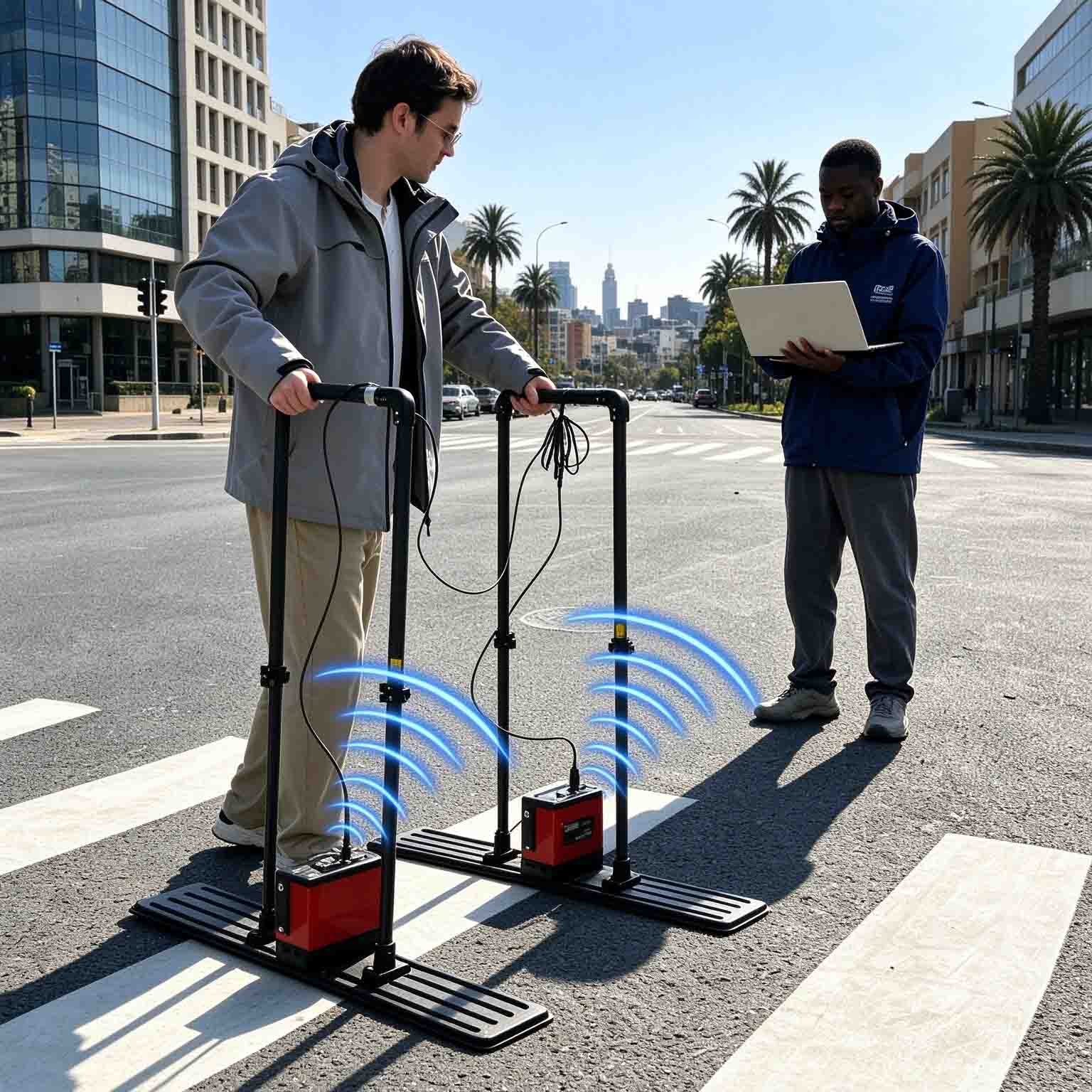
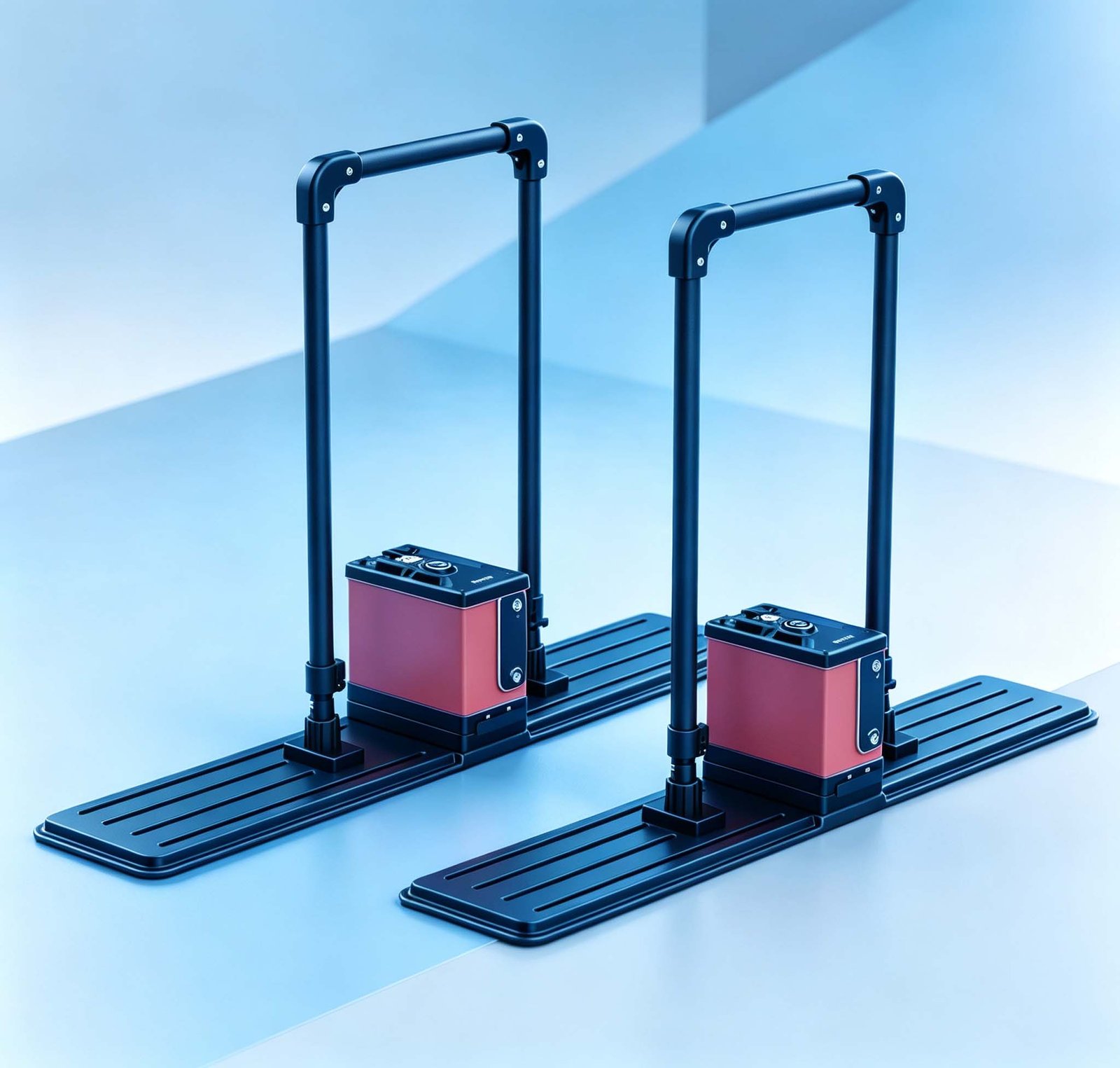
- Lightweight sled or cable antenna designs for different survey scenarios
Model Lineup
| Model | What it is best at | Key specifications |
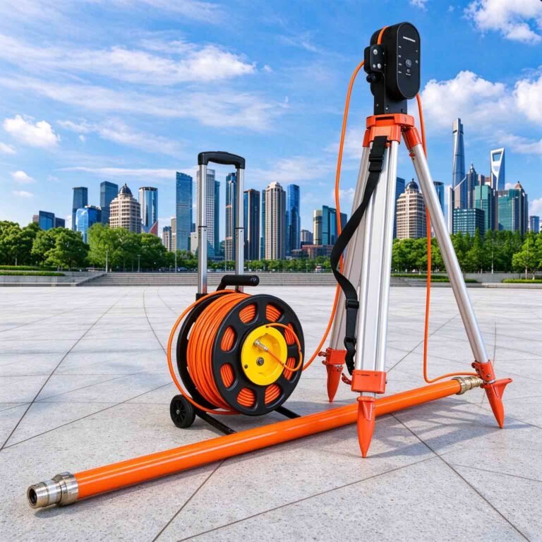
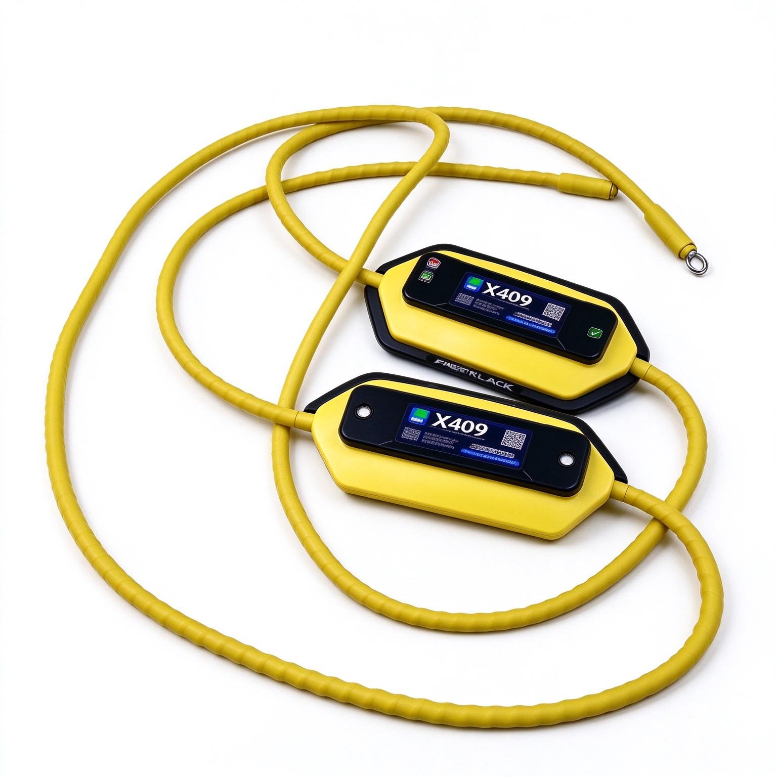
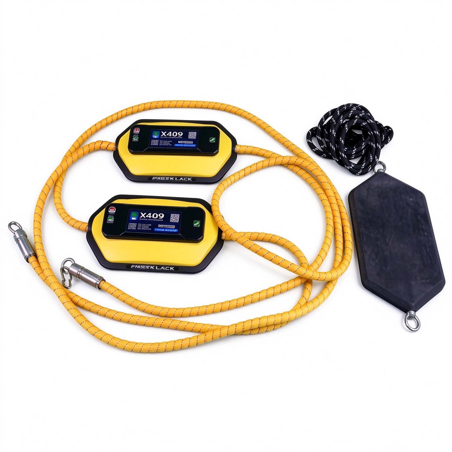
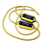
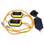
| GEO-GPR-U 12.5 MHz | Ultra-deep geological surveys, deep karst, goaf and fault detection | 18 m cord antenna, 0–80 m depth, 7.2 kg |
| GEO-GPR-U 25 MHz | Deep engineering geology, dam and levee hidden danger survey | 10 m cord antenna, 0–60 m depth, 16.5 kg |
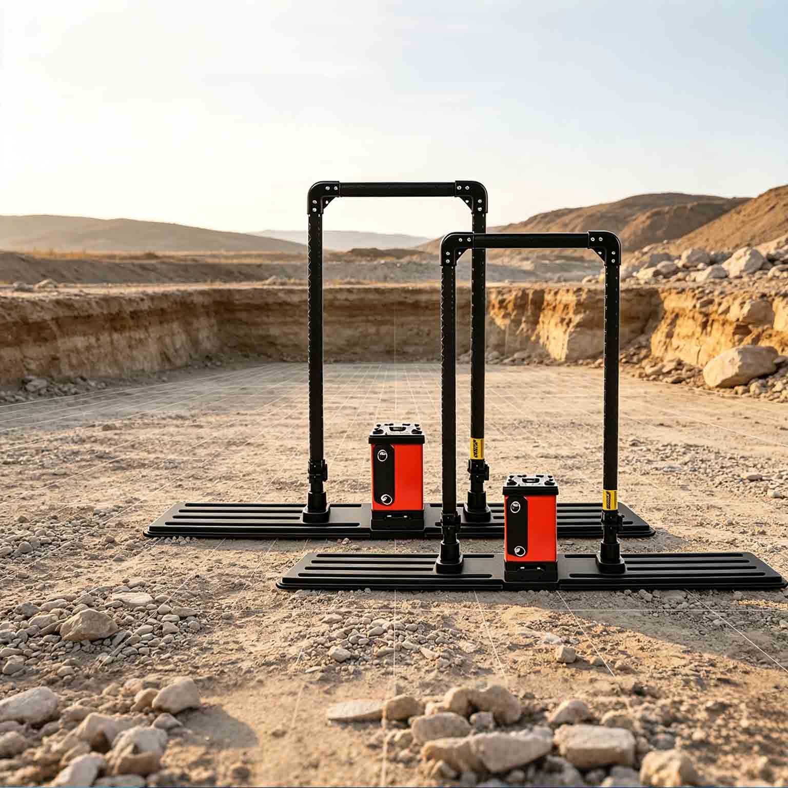
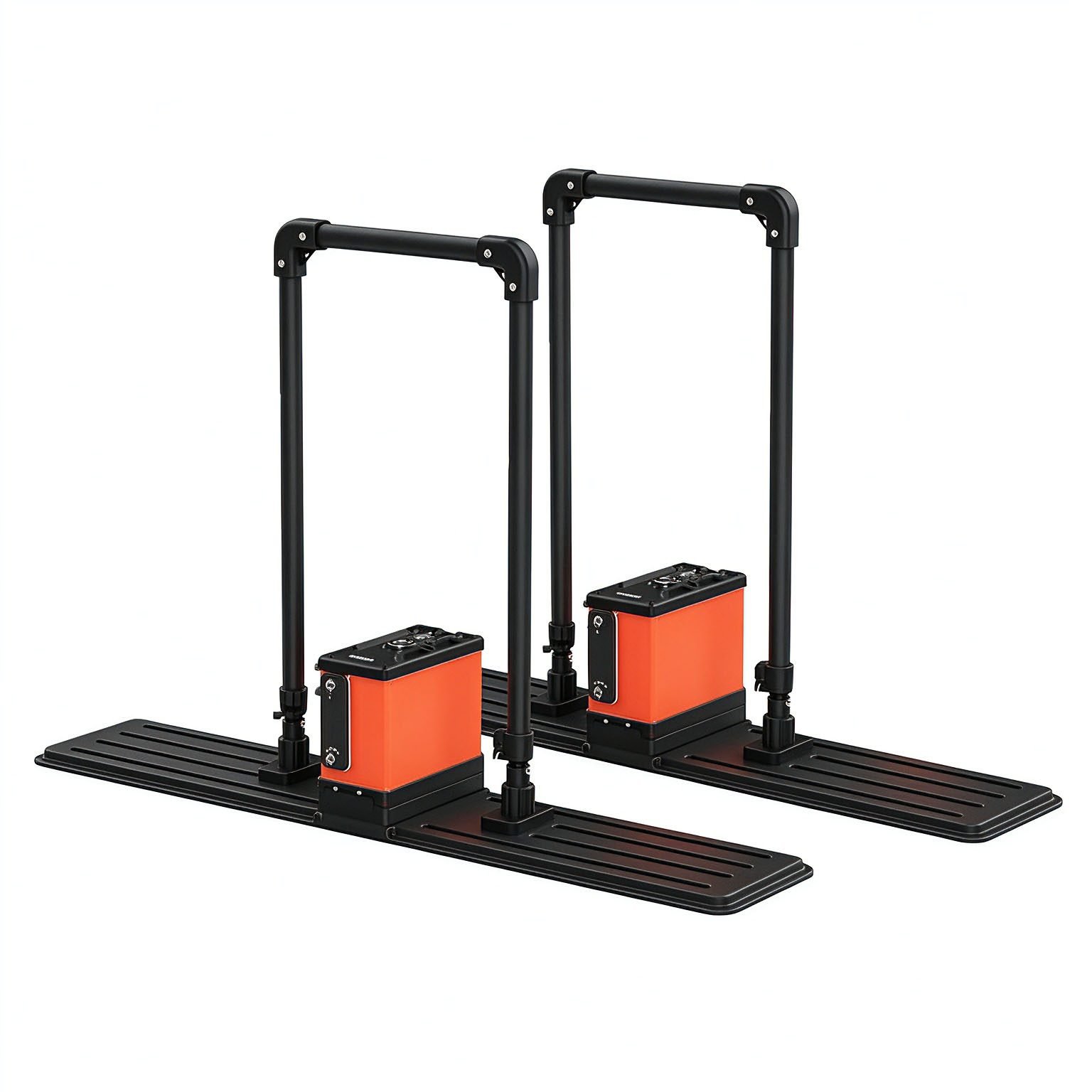
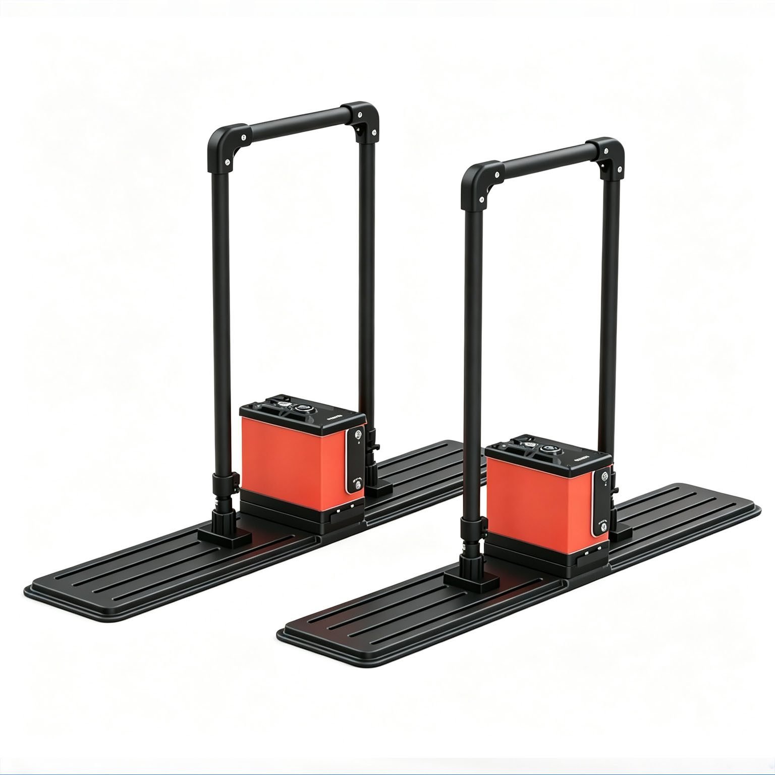
| GEO-GPR-U 50 MHz | Medium-depth geotechnical surveys, tunnel advance forecasting | 1.8 × 0.18 m sled antenna, 0–45 m depth, 11.5 kg |
| GEO-GPR-U 100 MHz | Shallow-medium engineering surveys, underground pipeline detection | 0.92 × 0.18 m sled antenna, 0–35 m depth, 8.8 kg |
The ≥8 h continuous-operation figure applies to ground-based sled surveys. Weight and cable length vary by antenna model; full mounting, deployment and power supply instructions are included with each configuration.
Why Unshielded Deep-Penetration GPR, and Where It Stops
Penetration depth of ground penetrating radar is primarily governed by subsurface electrical conductivity. Higher conductivity causes stronger electromagnetic attenuation and reduces effective detection depth. Unshielded low-frequency antennas maximize depth reach, but trade off near-surface resolution.
| Subsurface Material | Typical Conductivity Level | Effective Depth Range (12.5 MHz) | Suitability |
| Dry granite, limestone, bedrock | Very low | 60–80 m | Excellent |
| Dry sand, gravel, loess | Low | 40–60 m | Good |
| Moist clay, silt, loam | Medium | 20–40 m | Moderate |
| Saturated soil, wet clay | High | 10–20 m | Limited |
| Saline soil, fresh groundwater | Very high | <10 m | Marginal |
| Seawater, mineralized ore bodies | Extremely high | Not applicable | Not suitable |
Read this as the design rule: unshielded low-frequency GPR trades near-surface resolution for maximum depth. Where the target sits in the top few meters and requires high resolution, use a shielded ground-coupled GPR antenna instead — note that conductive overburden, perched water and mineralized zones will reduce effective depth as described.
Applications

| Application | What the GEO-GPR-U delivers | Reference depth |
| Deep geological hazard detection | Continuous profiling of deep karst, goaf, landslide slip surface and fault structures | 20–80 m |
| Tunnel advance geological forecasting | Forward detection of unfavorable geology ahead of tunnel working face | 10–45 m |
| Deep underground pipeline detection | Location and depth measurement of deep-buried pipelines and power cables | 2–35 m |
| Cavity & underground shelter survey | Mapping of hidden karst caves, air-raid shelters and underground structures | 5–60 m |
| Dam & archaeological investigation | Stratigraphic division and hidden danger detection of dams and ancient sites | 5–60 m |
| Bedrock depth mapping | Bedrock surface profiling and overburden thickness measurement | 10–60 m |
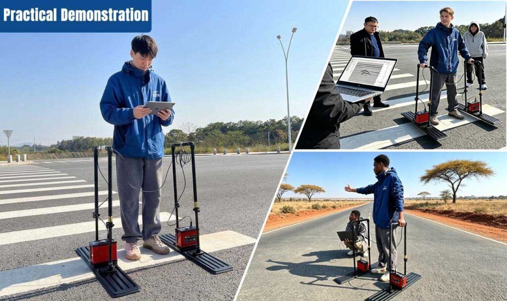
Reference depth bands are for planning purposes only. Actual depth depends on site conductivity and antenna selection; we confirm performance against your site conditions before issuing a formal proposal.
Specifications
| Parameter | Specification |
| Antenna type | Unshielded ultra-wideband antenna |
| Center frequencies | 12.5 / 25 / 50 / 100 MHz (customizable) |
| Max. detection depth | 80 m (12.5 MHz, dry hard rock condition) |
| Min. sampling interval | ≤10 ps |
| Maximum stack count | 65535 |
| Transmission voltage | 100–1000 V, adjustable |
| Total power consumption | ≤15 W |
| System weight | 7.2 kg (12.5 MHz) / 16.5 kg (25 MHz) / 11.5 kg (50 MHz) / 8.8 kg (100 MHz) |
| Continuous operating time | ≥8 h (built-in battery) |
| Wireless data range | ≥50 m |
| Acquisition modes | Point-by-point, distance-triggered, continuous |
| Display modes | Pseudo-colour, stacked waveform, grayscale |
| Real-time processing | Onboard imaging with instant profile output |
| Operating temperature | −30 °C to +70 °C |
Actual detection depth varies by site geology, antenna frequency and stacking settings. Full site-specific depth performance is confirmed during pre-sales consultation — detailed frequency-versus-depth documentation is available on request.
Cases

FAQ
In gravity exploration (SI), what is the unit of gravity? How to convert gravity units between SI and CGS?
① In SI, it is m·s-2, and one percent of it is the international unit abbreviation g.u.;
② Conversion between SI and CGS: 1g.u.=10-1 mGal
What are gravitational field and gravitational potential?
Gravitational field: The space around the earth with gravity is called the gravitational field.
Gravitational potential: The gravitational potential W in the gravitational field is equal to the work done by a particle of unit mass moving from infinity to that point.
What is the normal gravity field of the earth? What are the rules for the change of the normal gravity field with latitude and altitude?
① The normal gravity field of the earth: Assuming that the earth is a rotating ellipsoid (reference plane), the surface is glossy, the internal density is uniform, or it is distributed in concentric layers, the density of each layer is uniform, and the deviation of the shape of the ellipsoid from the geoid is very small, then the gravity field generated by the earth is the normal gravity field.
② The normal gravity value is only related to the latitude, the smallest at the equator and the largest at the poles, with a difference of about 50,000 g.u.; the rate of change of the normal gravity value with latitude is the largest at 45° latitude, and zero at the equator and the poles; the normal gravity value decreases with increasing altitude, and its rate of change is -3.086 g.u.. The main feature of the long-term change is the "westward drift" of the geomagnetic elements, both the dipole field and the non-dipole field drift westward, and have a global nature.
What is the relationship between gravitational field strength and gravitational acceleration?
The gravitational field strength is equal to the gravitational acceleration in both numerical and dimensional terms, and the two are in the same direction. In gravity exploration, all references to gravity refer to gravitational acceleration. The gravitational field strength at a point in space is equal to the gravitational acceleration at that point.
What is gravity exploration?
Gravity exploration is an exploration method that is based on the density difference of rocks and ores. Since density difference will cause local changes in the normal gravity field of the earth (i.e. gravity anomaly), it is used to solve geological problems by observing and studying gravity anomalies.