Welcome to Geotech!



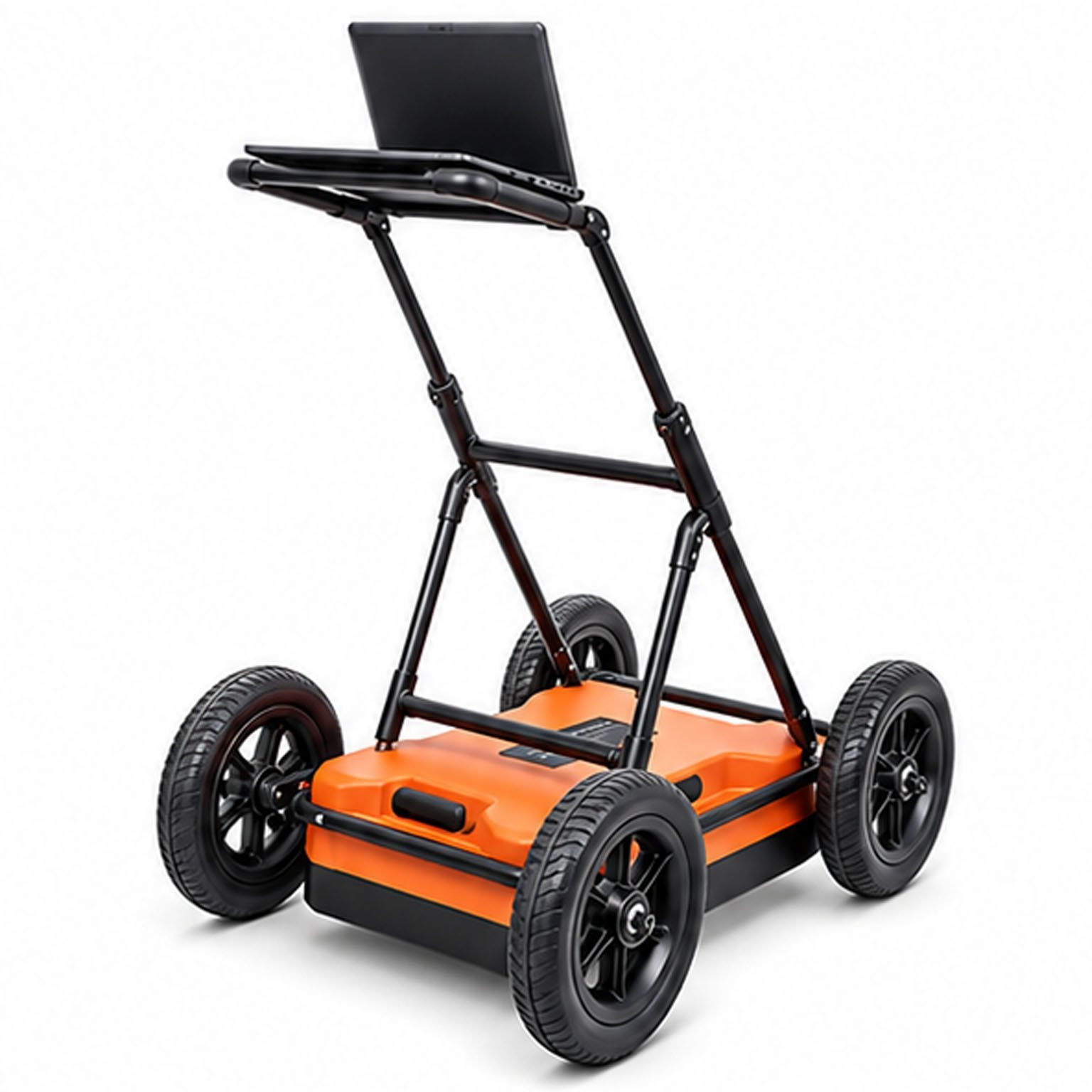
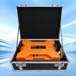
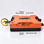
200 + 400 MHz Dual-Frequency Ground Penetrating Radar丨GEO-GPR-S




PRODUCT PARAMETERS
Description
 Abstract
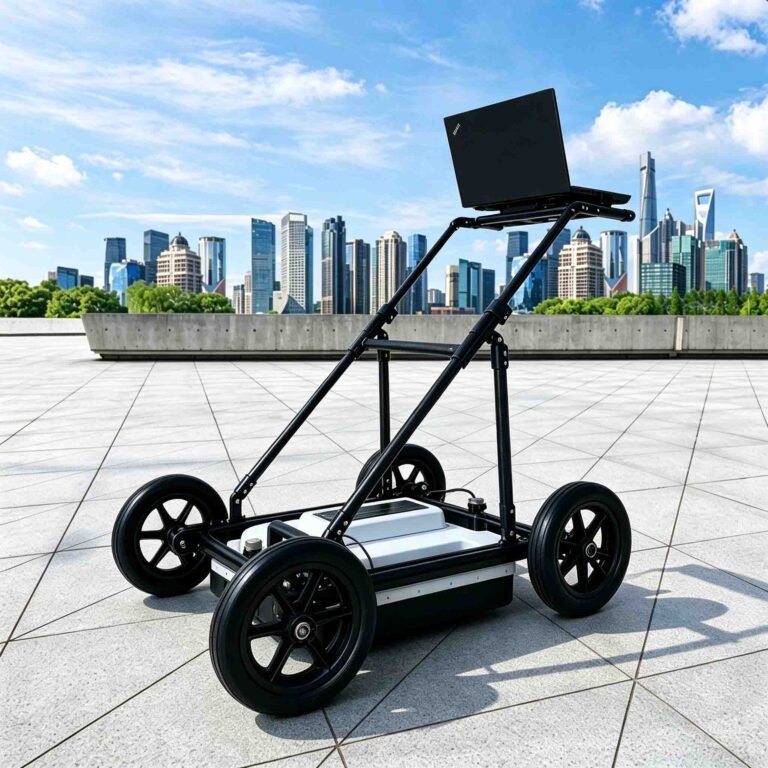
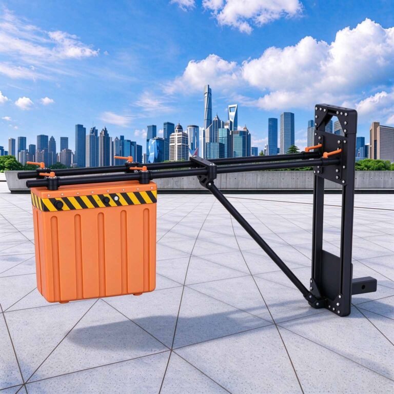
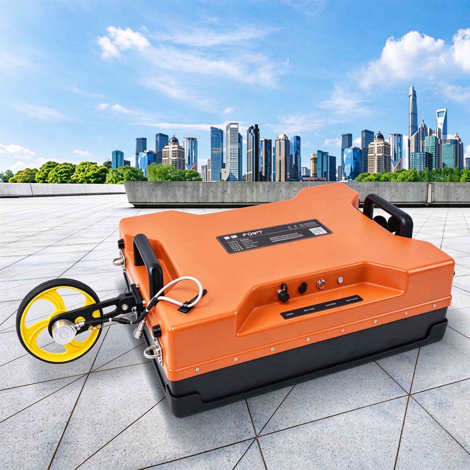
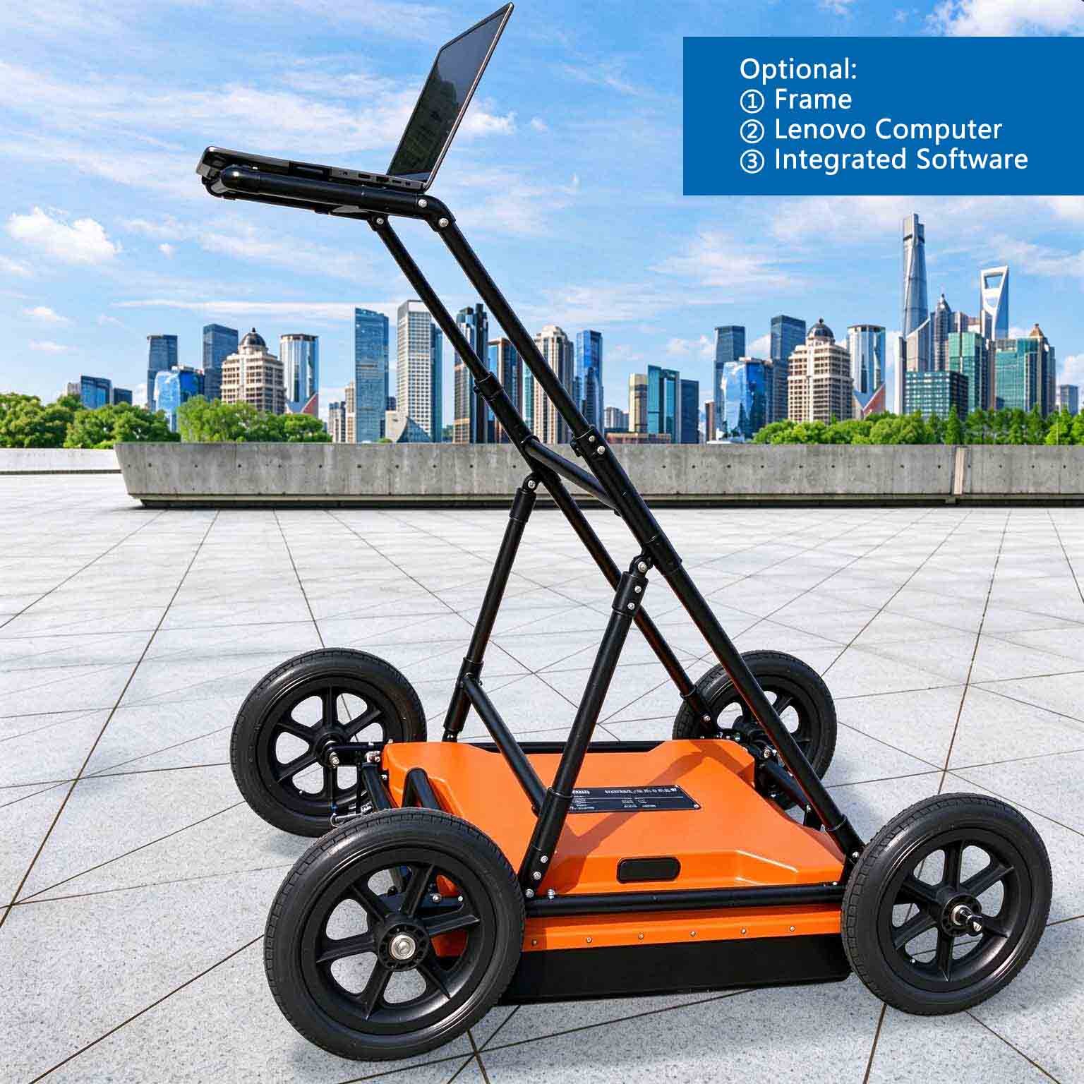
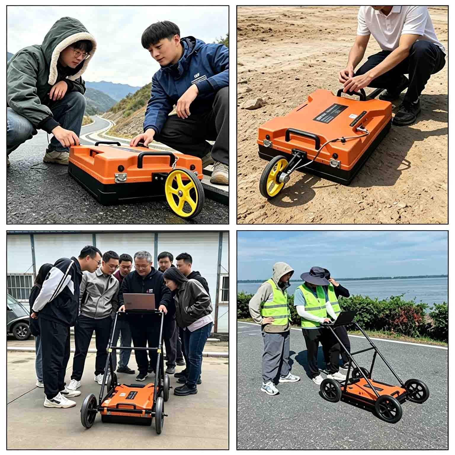
The GEO-GPR-S 200 + 400 MHz dual-frequency ground penetrating radar is designed for municipal road, underground utility and infrastructure surveys that require a practical balance between moderate investigation depth and near-surface resolution. Its 200 MHz band provides subsurface context while the 400 MHz band resolves shallower layers and services. Both datasets are collected along the same survey trace positions in a single pass.
With a stated maximum detection depth of 8 m and a total system mass of 21.30 kg, the 200 + 400 MHz model sits between the depth-oriented 100 + 400 MHz configuration and the high-resolution 400 + 900 MHz configuration. It is intended for routine road and utility work to moderate depth.
Why Choose the 200 + 400 MHz Dual-Frequency Configuration?
- Running separate 200 MHz and 400 MHz surveys across a standard 3.75 m traffic lane requires 12 line-passes in total. The GEO-GPR-S 200 + 400 MHz captures both bands in just 8 passes—delivering a 33% reduction in field acquisition time and traffic control costs.
- By embedding the 400 MHz antenna directly inside the compact 200 MHz housing, total system mass is just 21.30 kg—adding roughly 0.55 kg over an equivalent single-frequency unit while replacing two separate radar systems.
- On the exact same chainage, the 400 MHz channel sharply resolves metallic and non-metallic pipes, cables, and pavement layers, while the 200 MHz channel reveals whether those utilities sit within water-saturated, disturbed, or void-prone subgrade zones down to 8 m.
Key Features & Benefits
- Balanced frequency pairing: the 200 MHz band provides moderate-depth coverage, while the 400 MHz band adds detail for shallow layers and infrastructure targets.
- Single-pass, co-located acquisition: both frequency bands are recorded at the same trace positions, helping users compare target detail and surrounding ground conditions without registering separate survey runs.
- Moderate-depth capability: the stated maximum detection depth is 8 m, governed by the 200 MHz low band. Actual reach depends on ground conditions and is materially reduced in conductive or saturated ground.
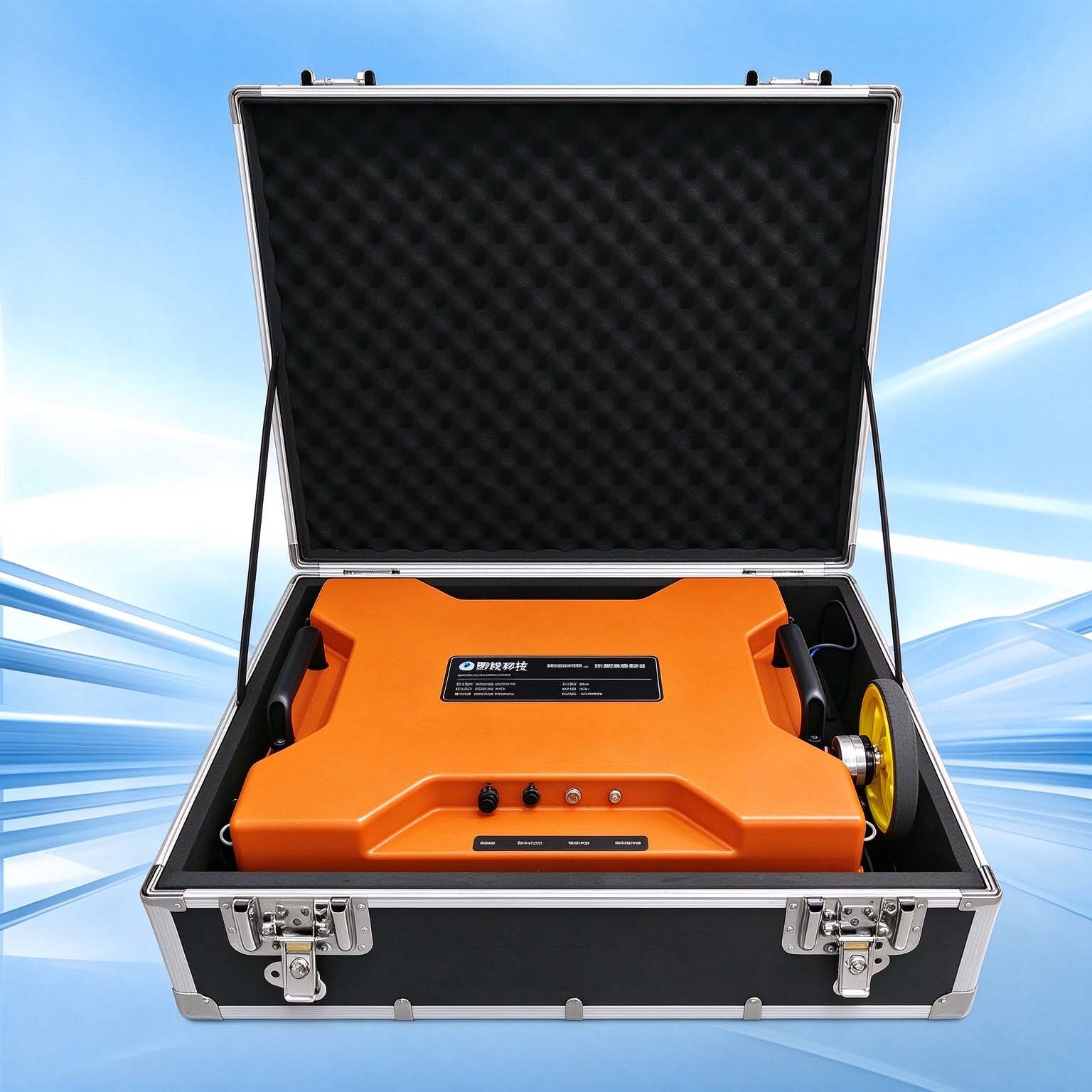
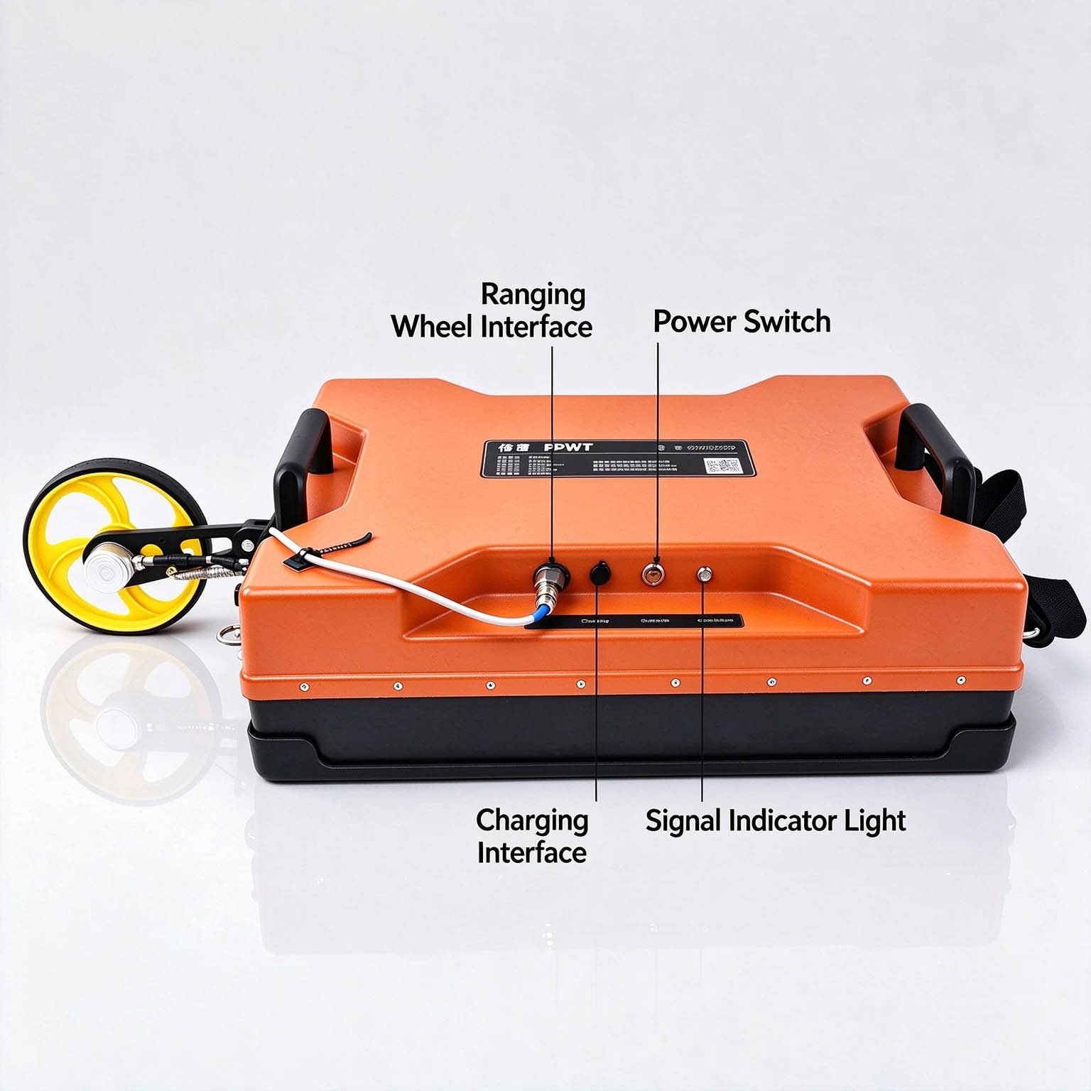
- Integrated and portable design: the high-band element is embedded in the low-band housing rather than carried as a second instrument. The 200 + 400 MHz combination adds approximately 0.55 kg against the equivalent single-frequency GEO-GPR antenna.
- Three acquisition modes: operate low band only, high band only or both bands together according to survey requirements.
Field Survey & Line-Spacing Guidance
SURVEY PLANNING NOTE FOR 200 + 400 MHz DEPLOYMENTS
The GEO-GPR-S 200 + 400 MHz provides a 0.60 m swath width and reaches depths up to 8 m in dry, low-loss ground (conductive or saturated soils reduce effective depth). Because its 0.60 m width is marginally wider than the strict ≤0.5 m spacing specified by some municipal 400 MHz void-acceptance codes, operators can tighten pass spacing slightly when conducting formal void-acceptance surveys while gaining simultaneous 200 MHz subgrade profiling.
Applications

| Application | How the Dual-Frequency Configuration Helps |
| Municipal road survey | Use the 400 MHz band to resolve near-surface layer boundaries and the 200 MHz band to provide additional subgrade context. |
| Pipeline and cable location | Use high-band response to pinpoint services and the lower band to assess whether they lie in disturbed or potentially water-bearing ground. |
| Utility corridor investigation | Collect two depth bands on the same chainage to reduce the need for separate single-frequency survey runs. |
| Tunnel and infrastructure work | Combine near-surface lining or structural detail with a broader view of the ground behind the inspected surface. |
Configuration & Survey-Line Guidance
The 200 + 400 MHz antenna has a swath width of 0.60 m. This is marginally wider than the 0.5 m maximum line spacing specified by some municipal 400 MHz survey codes. Add survey lines for void acceptance work where the full 400 MHz line density is required. The antenna must be walked at the line spacing required by the tighter band. For work where depth beyond 5 m governs, consider the 100 + 400 MHz configuration; where a single pass must meet 0.5 m 400 MHz spacing, the 400 + 900 MHz configuration is normally the appropriate specification.
Specifications
| Parameter | Specification |
| Centre frequencies | 200 + 400 MHz |
| Maximum detection depth | 8 m (200 MHz low band) |
| Swath width | 0.60 m |
| Total system mass | 21.30 kg |
| Envelope dimensions | 600 × 440 × 230 mm |
| Acquisition modes | Low band only / high band only / dual-frequency, switchable |
| Scan rate | 350 traces/s |
| A/D conversion | 18 bit |
| Signal-to-noise ratio | Better than 160 dB |
| Total power consumption | ≤16 W |
| Continuous operating time | ≥8 h |
| Wireless data range | ≥50 m |
| Operating voltage | 10–15 V DC |
| Operating temperature | −30 °C to +70 °C |
| Control and setup | One-click parameter setup with automatic acquisition configuration |
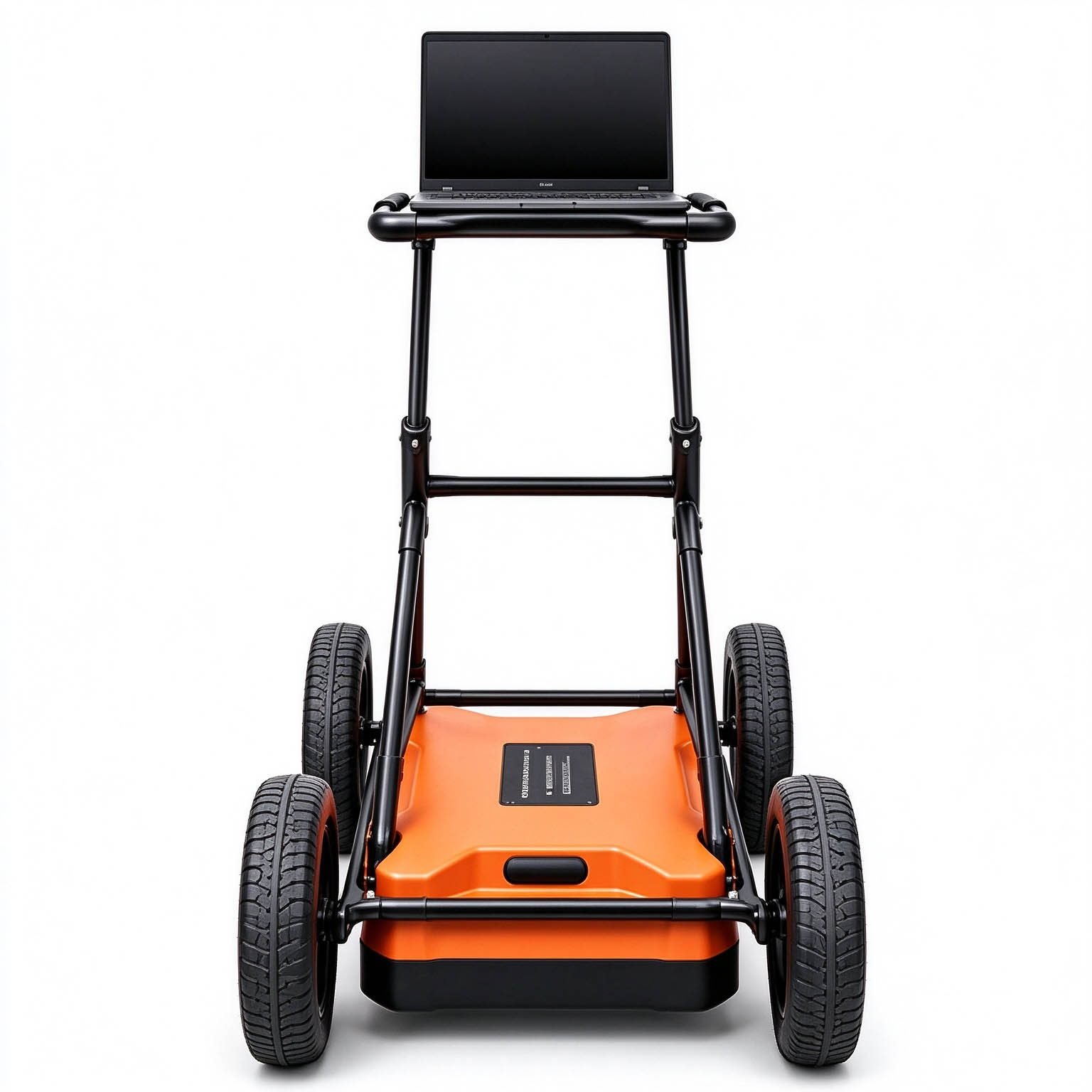
| Display | Real-time display of both bands during the survey |
| System design | Integrated host-and-antenna design; compact, wireless and low power |
| Custom frequency combinations | Available on request |
Depth note: Maximum depth is governed by the lower-frequency band and is quoted for dry, low-loss ground. Conductive and saturated conditions can reduce achievable depth materially.
Datasheet note: Time window, trace interval, survey speed, positioning option and ingress protection are published in the full technical datasheet and are available on request.
FAQ
In gravity exploration (SI), what is the unit of gravity? How to convert gravity units between SI and CGS?
① In SI, it is m·s-2, and one percent of it is the international unit abbreviation g.u.;
② Conversion between SI and CGS: 1g.u.=10-1 mGal
What are gravitational field and gravitational potential?
Gravitational field: The space around the earth with gravity is called the gravitational field.
Gravitational potential: The gravitational potential W in the gravitational field is equal to the work done by a particle of unit mass moving from infinity to that point.
What is the normal gravity field of the earth? What are the rules for the change of the normal gravity field with latitude and altitude?
① The normal gravity field of the earth: Assuming that the earth is a rotating ellipsoid (reference plane), the surface is glossy, the internal density is uniform, or it is distributed in concentric layers, the density of each layer is uniform, and the deviation of the shape of the ellipsoid from the geoid is very small, then the gravity field generated by the earth is the normal gravity field.
② The normal gravity value is only related to the latitude, the smallest at the equator and the largest at the poles, with a difference of about 50,000 g.u.; the rate of change of the normal gravity value with latitude is the largest at 45° latitude, and zero at the equator and the poles; the normal gravity value decreases with increasing altitude, and its rate of change is -3.086 g.u.. The main feature of the long-term change is the "westward drift" of the geomagnetic elements, both the dipole field and the non-dipole field drift westward, and have a global nature.
What is the relationship between gravitational field strength and gravitational acceleration?
The gravitational field strength is equal to the gravitational acceleration in both numerical and dimensional terms, and the two are in the same direction. In gravity exploration, all references to gravity refer to gravitational acceleration. The gravitational field strength at a point in space is equal to the gravitational acceleration at that point.
What is gravity exploration?
Gravity exploration is an exploration method that is based on the density difference of rocks and ores. Since density difference will cause local changes in the normal gravity field of the earth (i.e. gravity anomaly), it is used to solve geological problems by observing and studying gravity anomalies.