Welcome to Geotech!



Services

What is ERT Geophysics?
Introduction to ERT Geophysics Electrical Resistivity Tomography (ERT) is a cutting-edge geophysical technique used to map subsurface structures by measuring electrical resistivity variations. It applies low-frequency electrical currents to the ground and records the resulting voltage changes, creating detailed 2D…
What is ERT Instrument?
Introduction In the realm of geophysical exploration, understanding the subsurface is crucial for various applications, from mineral exploration and groundwater investigation to environmental monitoring and engineering surveys. One of the most versatile and widely used techniques for subsurface imaging is Electrical…
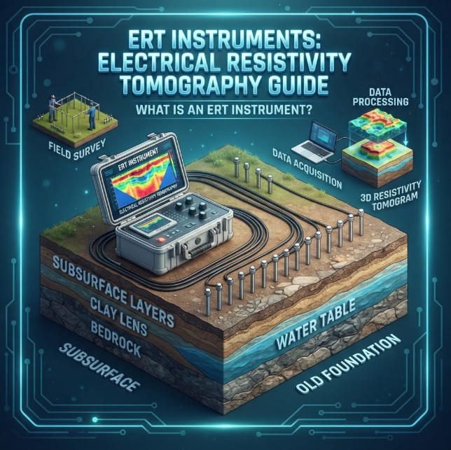
What Is an ERT Instrument? ERT Instruments: Electrical Resistivity Tomography Guide
Overview:An ERT instrument delivers high-resolution subsurface resistivity imaging for geophysical investigations. This guide explains Electrical Resistivity Tomography operating principles and evaluates ERT instrument performance across hydrogeological, engineering and archaeological Electrical Resistivity Tomography applications. Ⅰ. Overview of ERT Instruments 1. Core…
What is ERT Equipment? A Deep Dive into Electrical Resistivity Tomography Technology
TIPS:Electrical Resistivity Tomography (ERT) equipment has become essential for modern subsurface investigations. This comprehensive guide explains how high-density electrical methods work and why they outperform traditional geophysical techniques. Learn about electrode configurations, 3D imaging capabilities, and practical applications across civil…
What is the Natural Potential Method? Comparison with Resistivity Imaging Techniques
1. Introduction Geophysical exploration methods play a crucial role in understanding subsurface structures and properties. Among these methods, the Natural Potential Method and Resistivity Method are widely used for various applications such as mineral exploration, groundwater studies, and environmental investigations.…