Welcome to Geotech!

USGS Water Resources Assessment: Advanced Geophysical Exploration Technology Transforms Water Management
Ⅰ. Core Findings of the USGS Assessment
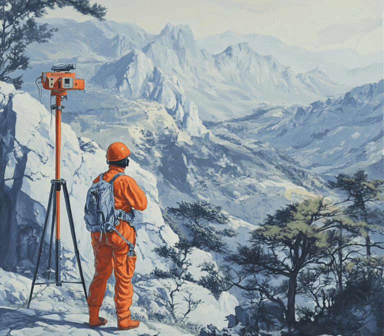
The latest USGS research reveals that multiple regions across the United States face dual pressures of declining groundwater reserves and deteriorating water quality. Based on five years of monitoring data, the report utilized geophysical exploration techniques to create high-resolution 3D imaging of major aquifers, identifying over 20 groundwater regions requiring priority attention.
“While traditional monitoring well networks remain effective, they are costly and provide limited coverage,” stated the director of the USGS Water Resources Research Center. Geophysical methods enable us to obtain large-scale hydrogeological structural information more economically and efficiently.
The assessment shows that integrated geophysical surveys reduce data acquisition costs by up to 60% compared to conventional drilling programs, while covering areas 10 times larger. This approach has proven particularly valuable in arid regions where water scarcity threatens agricultural productivity and municipal water supplies.
Ⅱ.Breakthrough Applications of Geophysical Technologies
The report specifically highlights three cutting-edge technologies with proven practical value:
Controlled-Source Audio Magnetotellurics (CSAMT) This method achieves 40% higher resolution in deep aquifer detection and has been successfully applied to groundwater reserve evaluation in California’s Central Valley. CSAMT can effectively map aquifers at depths of 300-1,500 meters, providing crucial data for sustainable withdrawal planning.
Ground-Penetrating Radar (GPR) & Electrical Resistivity Tomography (ERT) Combined Survey This integrated approach enables fine-scale characterization of aquifer structures within the near-surface 100-meter range, optimizing water supply systems for small communities. The combination yields cross-validation data, reducing interpretation uncertainty to less than 15%.
Time-Domain Electromagnetic Method (TDEM) TDEM technology identified three previously unknown large groundwater bodies in the Texas High Plains region, potentially increasing emergency water supply capacity by 15%. The method’s ability to distinguish between fresh and saline water layers has become invaluable for coastal aquifer management.
These non-invasive technologies not only significantly reduce exploration costs but also enable damage-free surveys in ecologically sensitive areas, aligning with contemporary environmental protection requirements.
Ⅲ. Global Implications for Water Resource Management
While based on U.S. data, the technical framework offers important reference value worldwide. Regions facing similar challenges—including parts of Asia, the Middle East, and Africa—can adapt these methodologies:
- Technical Localization: Optimize electromagnetic method parameters according to local geological conditions
- Data Integration: Combine geophysical data with existing hydrological monitoring networks to build smart water management platforms
- Policy Support: Establish cross-regional groundwater dynamic monitoring and early warning systems
The modular nature of these technologies allows for scalable implementation, from village-level water security projects to national aquifer mapping initiatives.
Ⅳ. BKPOWER’s Technical Solutions
As a professional supplier of geophysical exploration equipment, BKPOWER has long focused on applying international frontier technologies in water resource investigations. Our High-Density Electrical Resistivity Systems, Proton Magnetometers, and Ground-Penetrating Radar solutions have been successfully deployed in multiple groundwater survey projects, helping clients achieve:
- Enhanced Success Rate: Rapid identification of water-bearing structures increases drilling success rates to over 85%
- Real-Time Monitoring: Continuous aquifer dynamic monitoring with data update cycles shortened to 24 hours
- 3D Visualization: Intuitive geological modeling for data-driven decision making
Our latest-generation BKPOWER AquaScan Pro integrates multi-method data acquisition, enabling simultaneous TDEM and ERT surveys that reduce fieldwork time by 50% while improving detection accuracy.