Welcome to Geotech!



Services
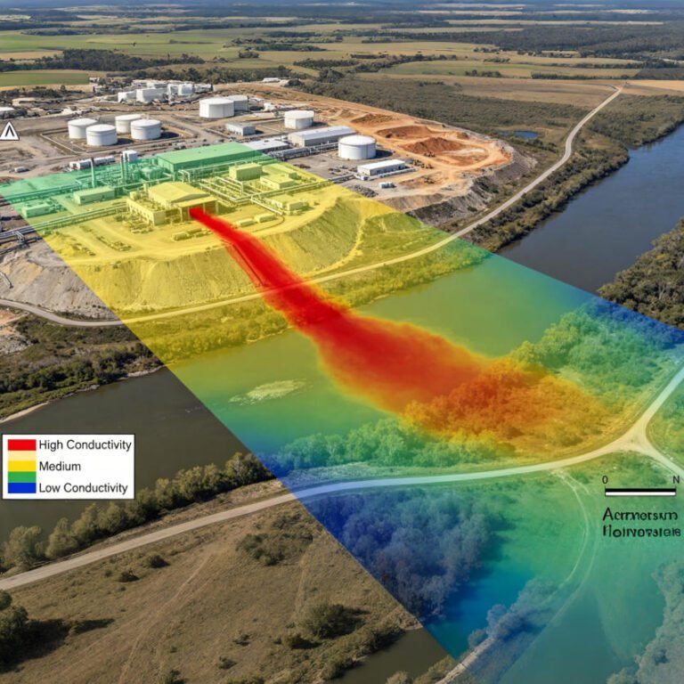
Electromagnetic Geophysical Survey: EM Methods Guide 2026
TIPS: Electromagnetic geophysical survey methods offer rapid, non-contact subsurface imaging for environmental and mineral exploration projects. This guide explains how electromagnetic geophysical survey technologies detect buried metal, map aquifers, and characterize contaminated sites. You will learn how to choose between…
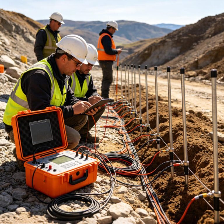
Electrical Resistivity & IP Survey: Complete B2B Guide 2026
TIPS: Electrical resistivity tomography and induced polarization survey methods have become essential tools for modern geophysical exploration. This guide explains how ERT and IP technologies detect groundwater, minerals, and contaminants. You will learn how to choose between 1D, 2D, and…

What is ATEM Systems?How does it work?
TIPS:Airborne Transient Electromagnetic (ATEM) methods are reshaping exploration in complex terrains. This guide breaks down Airborne Transient Electromagnetic principles, compares helicopter TEM systems like VTEM and SkyTEM, and explains data processing workflows. Whether you are sourcing airborne electromagnetic equipment or…
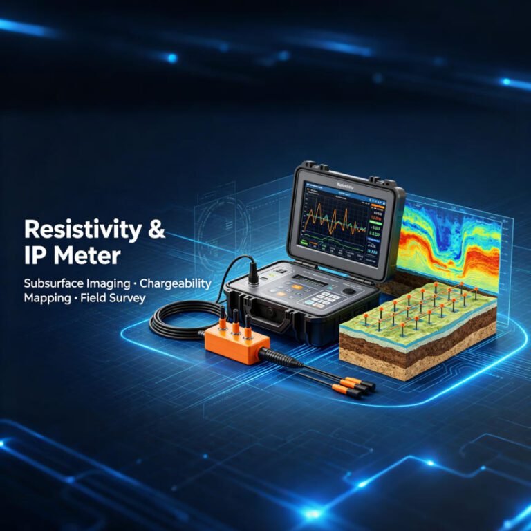
Resistivity Meter Price: 2026 Buyer’s Guide
TIPS:Resistivity meter prices range from $150 for basic DIY kits to over $60,000 for industry-leading multi-channel systems. The cost of a resistivity meter depends on channel count, maximum depth, IP capability, and software integration. Entry-level single-channel units typically cost $2,000–$5,000.…

Electrical Resistivity Tomography: A Complete Technical Guide
TIPS:Electrical Resistivity Tomography (ERT) is a non-invasive geophysical technique that maps subsurface resistivity by injecting direct current through electrode arrays. This technical guide explains how an ERT System works—from Ohm’s Law fundamentals and electrode configurations to 2D/3D data inversion—helping geophysicists…