Welcome to Geotech!



Knowledge base
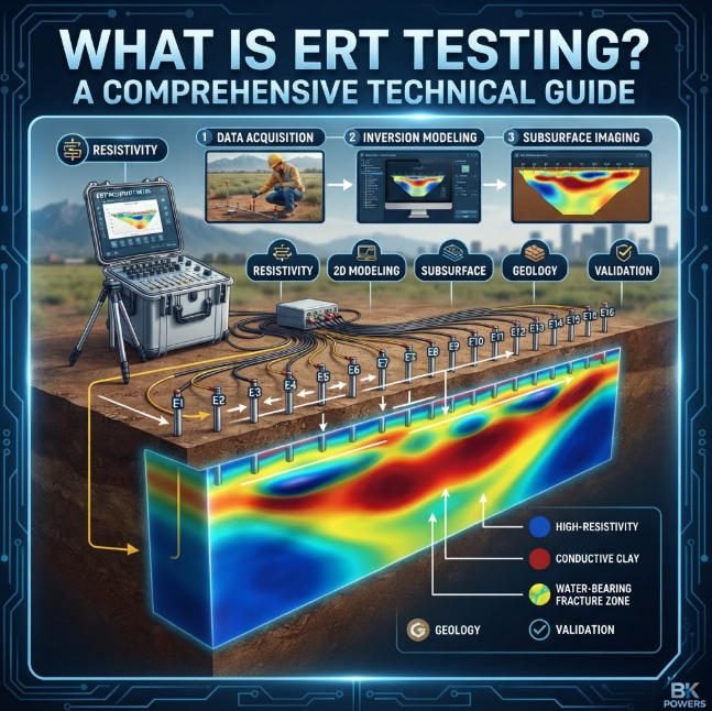
What is ERT Testing? A Comprehensive Technical Guide
Overview:ERT testing maps subsurface resistivity using electrode arrays and direct current. This guide covers principles, array selection, and inversion workflows for ERT testing. Engineers apply electrical resistivity tomography to groundwater, mineral, and environmental surveys. Electrical resistivity tomography delivers high-resolution 2D…
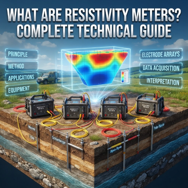
What Are Resistivity Meters? 2026 Complete Technical Guide
Overview:This technical guide explains how resistivity meters measure subsurface structures through controlled current injection. It covers the physics behind resistivity meter design, compares electrode array configurations, and maps resistivity meter selection criteria for mining, geotechnical and environmental projects. Ⅰ. Definition…
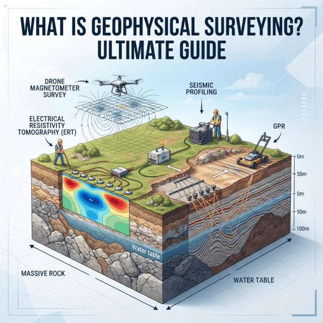
What is Geophysical Surveying? 2026 Ultimate Guide
Overview:This ultimate technology guide provides a systematic overview of geophysical surveying for non-destructive subsurface characterization across civil and mining projects. It explains core principles of geophysical surveying, with detailed analysis of electrical resistivity tomography deployment and electrical resistivity tomography performance…
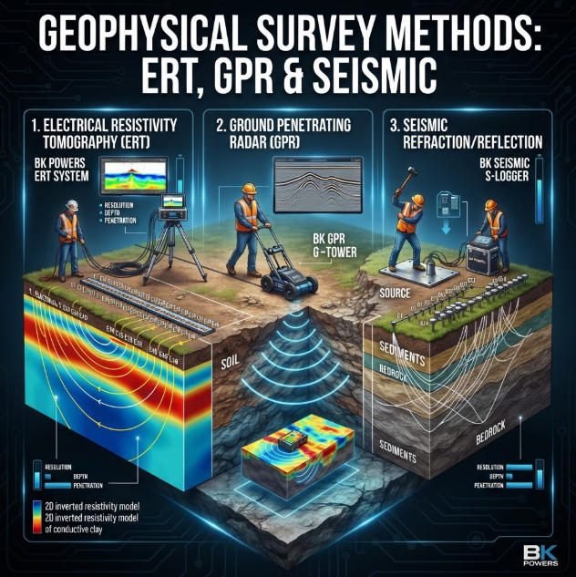
Geophysical Survey Methods: ERT, GPR & Seismic
TIPS:This authoritative technical handbook delivers a systematic overview of geophysical methods for non-destructive subsurface investigation across civil infrastructure, mineral exploration and environmental projects worldwide. It explains core physical principles of geophysical methods, with detailed analysis of electrical resistivity tomography deployment…
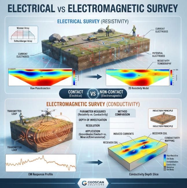
What Are Electrical and Electromagnetic Equipment in Geophysical Surveys?
TIPS:This guide compares electrical resistivity survey and electromagnetic geophysical survey methods for modern subsurface exploration. Engineers deploy electrical resistivity survey systems to generate high-resolution 2D and 3D images of groundwater, mineral deposits, and geological hazards. Electromagnetic geophysical survey platforms enable…