Welcome to Geotech!



Knowledge base
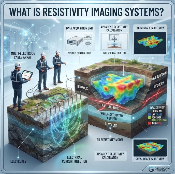
What is Resistivity Imaging Systems?丨ERT Technology Compared
TIPS:Resistivity imaging systems transform how geophysicists map underground structures. This guide compares 2D and 3D electrical resistivity tomography for subsurface exploration projects. You will discover how resistivity imaging systems detect ore bodies, monitor groundwater, and assess infrastructure using modern electrical…
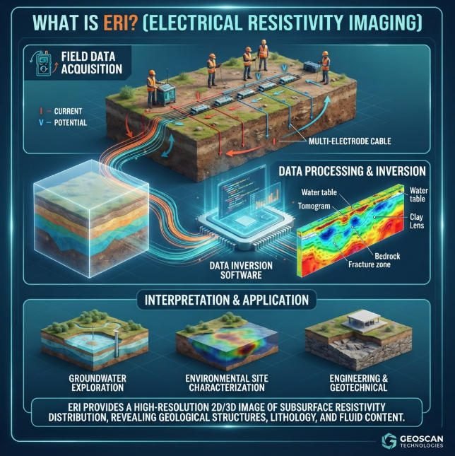
What is ERI ?丨Electrical vs Electromagnetic Geophysical Survey
TIPS:Choosing between an electrical geophysical survey and an electromagnetic geophysical survey directly impacts project cost, data quality and interpretive confidence. An electrical geophysical survey injects controlled ground current via electrodes to map subsurface resistivity, delivering high‑resolution near‑surface imaging but requiring…
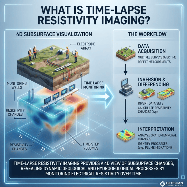
4D ERT Monitoring: A Complete Technical Guide to Time-Lapse Resistivity Imaging
TIPS:4D ERT monitoring captures dynamic subsurface changes by repeating electrical resistivity tomography surveys over time. Unlike static ERT, which produces a single snapshot, time-lapse resistivity imaging tracks how groundwater, contaminants, or geological structures evolve. This guide explains the physics, field…
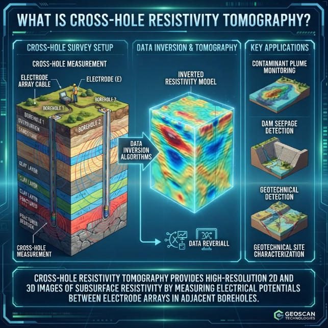
What is Cross-hole Resistivity?丨Cross-Hole Resistivity Tomography Technical Guide
TIPS:Cross-Hole Resistivity Tomography (CHERT) maps subsurface electrical properties between boreholes. This Cross-Hole ERT guide covers electrode arrays, field procedures, and engineering applications. Learn how Cross-Hole Resistivity Tomography delivers high-resolution imaging for geotechnical and environmental projects. Discover why Cross-Hole ERT outperforms…
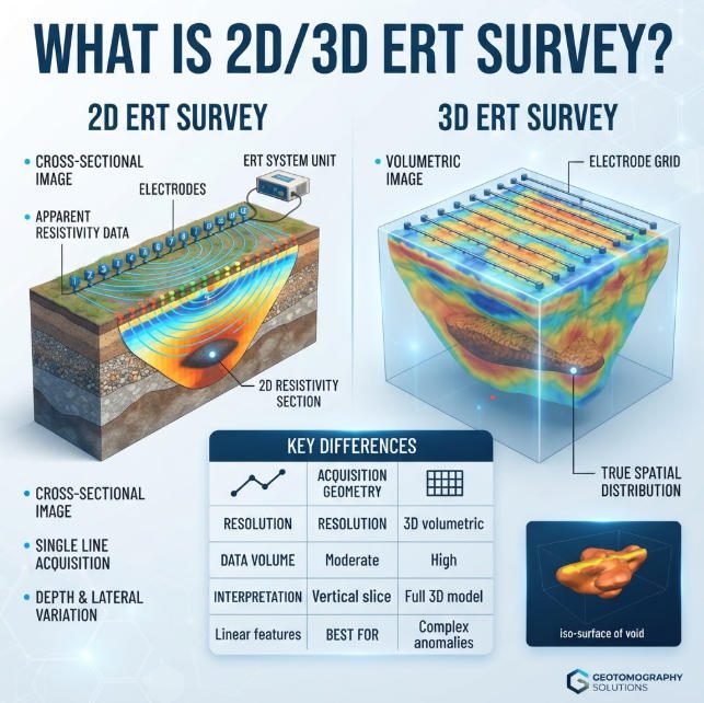
What is 2D/3D ERT Survey?
TIPS:This guide helps exploration managers choose between 2D and 3D ERT survey configurations for their specific projects. We explain how advanced resistivity acquisition reduces exploration risk when paired with modern imaging systems. Field engineers and procurement teams will find decision…